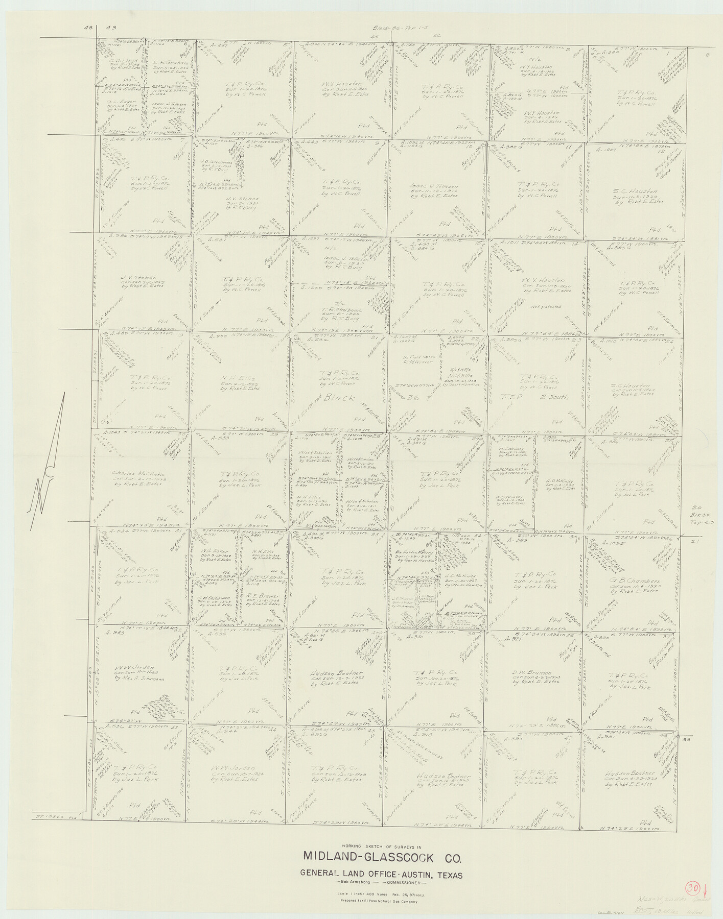
Midland County Working Sketch 30
-
Map/Doc
71011
-
Collection
General Map Collection
-
Object Dates
2/25/1971 (Creation Date)
-
People and Organizations
Herbert H. Ulbricht (Draftsman)
-
Counties
Midland Glasscock
-
Subjects
Surveying Working Sketch
-
Height x Width
45.1 x 35.4 inches
114.6 x 89.9 cm
-
Scale
1" = 400 varas
Part of: General Map Collection
Foard County Sketch File 7

Print $3.00
- Digital $50.00
Foard County Sketch File 7
1872
Size 10.0 x 17.2 inches
Map/Doc 11491
Cameron County Rolled Sketch 8

Print $40.00
- Digital $50.00
Cameron County Rolled Sketch 8
1937
Size 42.5 x 54.1 inches
Map/Doc 8565
Smith County Working Sketch 9

Print $40.00
- Digital $50.00
Smith County Working Sketch 9
1947
Size 48.8 x 44.2 inches
Map/Doc 63894
Foard County Sketch File 33

Print $26.00
- Digital $50.00
Foard County Sketch File 33
1958
Size 11.4 x 8.9 inches
Map/Doc 22866
Hardin County Working Sketch 38

Print $20.00
- Digital $50.00
Hardin County Working Sketch 38
1981
Size 37.2 x 19.4 inches
Map/Doc 63436
Pecos County Rolled Sketch 137

Print $20.00
- Digital $50.00
Pecos County Rolled Sketch 137
Size 20.1 x 15.0 inches
Map/Doc 7273
Flight Mission No. DAG-17K, Frame 142, Matagorda County

Print $20.00
- Digital $50.00
Flight Mission No. DAG-17K, Frame 142, Matagorda County
1952
Size 16.4 x 16.3 inches
Map/Doc 86359
Donley County Sketch File 22

Print $20.00
- Digital $50.00
Donley County Sketch File 22
Size 20.4 x 28.0 inches
Map/Doc 11368
Presidio County Sketch File 69b

Print $6.00
- Digital $50.00
Presidio County Sketch File 69b
1919
Size 11.2 x 8.8 inches
Map/Doc 34666
Reagan County Working Sketch 10

Print $20.00
- Digital $50.00
Reagan County Working Sketch 10
1942
Size 21.5 x 27.2 inches
Map/Doc 71850
Freestone County Rolled Sketch 11

Print $20.00
- Digital $50.00
Freestone County Rolled Sketch 11
Size 23.3 x 33.9 inches
Map/Doc 5912
Calhoun County Sketch File 16

Print $4.00
- Digital $50.00
Calhoun County Sketch File 16
1954
Size 10.7 x 8.3 inches
Map/Doc 35982
You may also like
Trinity County Sketch File 30

Print $8.00
- Digital $50.00
Trinity County Sketch File 30
1891
Size 14.2 x 8.9 inches
Map/Doc 38566
Kenedy County Rolled Sketch 3

Print $40.00
- Digital $50.00
Kenedy County Rolled Sketch 3
1904
Size 40.1 x 57.4 inches
Map/Doc 9329
Nacogdoches County Boundary File 1

Print $36.00
- Digital $50.00
Nacogdoches County Boundary File 1
Size 6.7 x 4.4 inches
Map/Doc 57562
[Surveys in Cherokee County]
![251, [Surveys in Cherokee County], General Map Collection](https://historictexasmaps.com/wmedia_w700/maps/251.tif.jpg)
Print $2.00
- Digital $50.00
[Surveys in Cherokee County]
Size 8.0 x 5.6 inches
Map/Doc 251
Travis County Sketch File 17

Print $6.00
- Digital $50.00
Travis County Sketch File 17
Size 8.4 x 7.8 inches
Map/Doc 38314
Hockley County Sketch File 5

Print $4.00
- Digital $50.00
Hockley County Sketch File 5
Size 9.1 x 11.2 inches
Map/Doc 26539
Northern Part of Laguna Madre

Print $20.00
- Digital $50.00
Northern Part of Laguna Madre
1965
Size 44.5 x 35.0 inches
Map/Doc 73526
Fractional Township No. 8 South Range No. 7 East of the Indian Meridian, Indian Territory

Print $20.00
- Digital $50.00
Fractional Township No. 8 South Range No. 7 East of the Indian Meridian, Indian Territory
1898
Size 19.2 x 24.3 inches
Map/Doc 75213
Anderson County Working Sketch 9

Print $20.00
- Digital $50.00
Anderson County Working Sketch 9
1929
Size 30.7 x 22.1 inches
Map/Doc 67008
Gillespie County

Print $40.00
- Digital $50.00
Gillespie County
1887
Size 44.1 x 59.7 inches
Map/Doc 16835
Garza County Sketch File 1

Print $4.00
- Digital $50.00
Garza County Sketch File 1
1879
Size 9.2 x 8.1 inches
Map/Doc 24044
Kaufman County

Print $40.00
- Digital $50.00
Kaufman County
1942
Size 48.7 x 39.5 inches
Map/Doc 73202