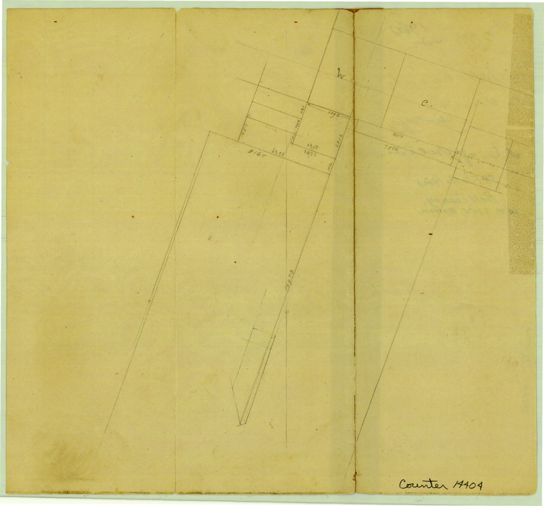
Bell County Sketch File 19a
[Sketch southeast of Belton on Elm Creek]
-
Map/Doc
14404
-
Collection
General Map Collection
-
Counties
Bell
-
Subjects
Surveying Sketch File
-
Height x Width
8.1 x 8.7 inches
20.6 x 22.1 cm
-
Medium
paper, manuscript
-
Features
[Elm Creek]
Part of: General Map Collection
[Fort Worth & Rio Grande Ry.] Map, Tracings of Located Line, Dublin to Comanche
![64353, [Fort Worth & Rio Grande Ry.] Map, Tracings of Located Line, Dublin to Comanche, General Map Collection](https://historictexasmaps.com/wmedia_w700/maps/64353.tif.jpg)
Print $20.00
- Digital $50.00
[Fort Worth & Rio Grande Ry.] Map, Tracings of Located Line, Dublin to Comanche
Size 15.3 x 41.6 inches
Map/Doc 64353
Lee County Sketch File 4

Print $4.00
- Digital $50.00
Lee County Sketch File 4
1859
Size 9.5 x 8.1 inches
Map/Doc 29682
Houston County Sketch File 40

Print $40.00
- Digital $50.00
Houston County Sketch File 40
Size 16.3 x 12.1 inches
Map/Doc 26826
Travis County Working Sketch 24

Print $20.00
- Digital $50.00
Travis County Working Sketch 24
1948
Size 25.6 x 23.1 inches
Map/Doc 69408
Goliad County Working Sketch 21

Print $20.00
- Digital $50.00
Goliad County Working Sketch 21
1961
Size 42.9 x 39.6 inches
Map/Doc 63211
Borden County Rolled Sketch 11

Print $20.00
- Digital $50.00
Borden County Rolled Sketch 11
1963
Size 33.2 x 32.2 inches
Map/Doc 8450
Bailey County Sketch File 2

Print $40.00
- Digital $50.00
Bailey County Sketch File 2
1892
Size 28.0 x 23.6 inches
Map/Doc 10881
Hudspeth County Rolled Sketch 43B

Print $20.00
- Digital $50.00
Hudspeth County Rolled Sketch 43B
1935
Size 11.0 x 17.3 inches
Map/Doc 6253
Maps of Gulf Intracoastal Waterway, Texas - Sabine River to the Rio Grande and connecting waterways including ship channels

Print $20.00
- Digital $50.00
Maps of Gulf Intracoastal Waterway, Texas - Sabine River to the Rio Grande and connecting waterways including ship channels
1966
Size 14.5 x 22.2 inches
Map/Doc 61928
Bandera County Working Sketch 2

Print $20.00
- Digital $50.00
Bandera County Working Sketch 2
Size 23.1 x 24.6 inches
Map/Doc 67595
Hartley County Sketch File 12

Print $20.00
- Digital $50.00
Hartley County Sketch File 12
1906
Size 16.3 x 12.4 inches
Map/Doc 11736
Colonial Texas. 1822 to 1834.

Print $20.00
- Digital $50.00
Colonial Texas. 1822 to 1834.
1897
Size 12.8 x 16.3 inches
Map/Doc 93410
You may also like
T&P Ry. from Texarkana to Atlanta

Print $40.00
- Digital $50.00
T&P Ry. from Texarkana to Atlanta
1910
Size 19.8 x 77.4 inches
Map/Doc 2327
[Surveys in the Jasper District]
![69734, [Surveys in the Jasper District], General Map Collection](https://historictexasmaps.com/wmedia_w700/maps/69734.tif.jpg)
Print $2.00
- Digital $50.00
[Surveys in the Jasper District]
1847
Size 9.4 x 6.9 inches
Map/Doc 69734
Runnels County Boundary File 1a

Print $14.00
- Digital $50.00
Runnels County Boundary File 1a
Size 12.9 x 8.4 inches
Map/Doc 58507
Potter County Working Sketch 2

Print $40.00
- Digital $50.00
Potter County Working Sketch 2
1919
Size 43.3 x 54.4 inches
Map/Doc 71662
Culberson County Rolled Sketch 52

Print $20.00
- Digital $50.00
Culberson County Rolled Sketch 52
Size 19.1 x 24.7 inches
Map/Doc 5672
Val Verde Co.

Print $20.00
- Digital $50.00
Val Verde Co.
1908
Size 42.4 x 38.7 inches
Map/Doc 16912
Map of the County of Calhoun

Print $20.00
- Digital $50.00
Map of the County of Calhoun
1852
Size 21.0 x 20.4 inches
Map/Doc 4431
Burleson County

Print $20.00
- Digital $50.00
Burleson County
1920
Size 40.7 x 45.2 inches
Map/Doc 66740
Map of Harris County

Print $20.00
- Digital $50.00
Map of Harris County
1893
Size 29.7 x 33.8 inches
Map/Doc 3632
The Republic County of Milam. Proposed, Late Fall 1837-December 31, 1838

Print $20.00
The Republic County of Milam. Proposed, Late Fall 1837-December 31, 1838
2020
Size 17.4 x 21.6 inches
Map/Doc 96226
Map of the River Sabine from its Mouth on the Gulf of Mexico in the Sea to Logan's Ferry in Latitude 31° 58' 25" North

Print $20.00
Map of the River Sabine from its Mouth on the Gulf of Mexico in the Sea to Logan's Ferry in Latitude 31° 58' 25" North
1840
Size 35.5 x 9.1 inches
Map/Doc 79294
Lynn County Working Sketch 1

Print $20.00
- Digital $50.00
Lynn County Working Sketch 1
1945
Size 17.2 x 14.0 inches
Map/Doc 70671