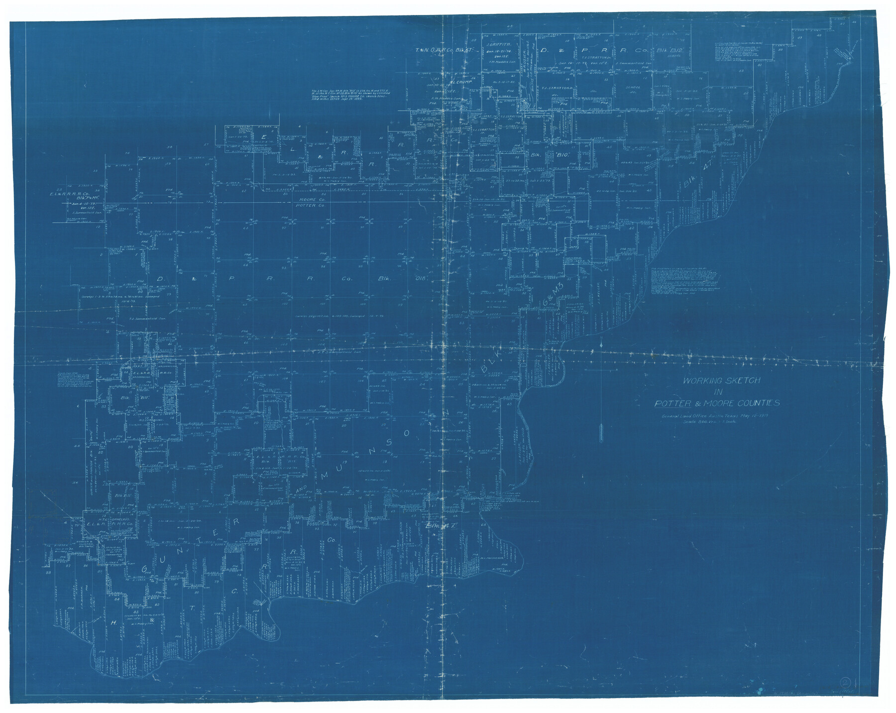
Potter County Working Sketch 2
-
Map/Doc
71662
-
Collection
General Map Collection
-
Object Dates
5/12/1919 (Creation Date)
-
People and Organizations
Tom Atlee (Draftsman)
-
Counties
Potter Moore
-
Subjects
Surveying Working Sketch
-
Height x Width
43.3 x 54.4 inches
110.0 x 138.2 cm
-
Scale
1" = 800 varas
Part of: General Map Collection
Map of Aransas Co.

Print $20.00
- Digital $50.00
Map of Aransas Co.
1896
Size 35.1 x 32.0 inches
Map/Doc 4776
Matagorda County Aerial Photograph Index Sheet 6

Print $20.00
- Digital $50.00
Matagorda County Aerial Photograph Index Sheet 6
1953
Size 23.8 x 19.6 inches
Map/Doc 83727
Nolan County Sketch File C

Print $20.00
- Digital $50.00
Nolan County Sketch File C
1902
Size 14.4 x 31.5 inches
Map/Doc 42172
Burnet County Sketch File 12

Print $4.00
- Digital $50.00
Burnet County Sketch File 12
1848
Size 12.6 x 7.5 inches
Map/Doc 16694
Young County Working Sketch 5

Print $20.00
- Digital $50.00
Young County Working Sketch 5
1919
Size 14.3 x 7.1 inches
Map/Doc 62028
Hardin County Sketch File 71e

Print $20.00
- Digital $50.00
Hardin County Sketch File 71e
Size 25.2 x 37.1 inches
Map/Doc 11642
Old Miscellaneous File 1

Print $172.00
- Digital $50.00
Old Miscellaneous File 1
Size 8.3 x 6.6 inches
Map/Doc 75320
Llano County Boundary File 1

Print $10.00
- Digital $50.00
Llano County Boundary File 1
Size 8.7 x 4.0 inches
Map/Doc 56425
A Map of Part of Matagorda Peninsula and the Main-land Opposite State of Texas

Print $40.00
- Digital $50.00
A Map of Part of Matagorda Peninsula and the Main-land Opposite State of Texas
1855
Size 32.4 x 62.7 inches
Map/Doc 69979
Flight Mission No. DAG-21K, Frame 96, Matagorda County

Print $20.00
- Digital $50.00
Flight Mission No. DAG-21K, Frame 96, Matagorda County
1952
Size 18.4 x 22.4 inches
Map/Doc 86425
Duval County Working Sketch 44

Print $20.00
- Digital $50.00
Duval County Working Sketch 44
1977
Size 27.5 x 40.7 inches
Map/Doc 68768
Township 4 South Ranges 12 and 13 West, South Western District, Louisiana

Print $20.00
- Digital $50.00
Township 4 South Ranges 12 and 13 West, South Western District, Louisiana
1857
Size 18.6 x 24.2 inches
Map/Doc 65891
You may also like
Crockett County Rolled Sketch 56

Print $20.00
- Digital $50.00
Crockett County Rolled Sketch 56
1944
Size 24.2 x 31.1 inches
Map/Doc 5599
Lipscomb County Working Sketch 9

Print $20.00
- Digital $50.00
Lipscomb County Working Sketch 9
1995
Size 44.1 x 22.3 inches
Map/Doc 70585
Stonewall County Sketch File 29

Print $4.00
- Digital $50.00
Stonewall County Sketch File 29
1976
Size 11.3 x 8.5 inches
Map/Doc 37306
Map of Comal County

Print $20.00
- Digital $50.00
Map of Comal County
1879
Size 19.3 x 25.7 inches
Map/Doc 4521
Navarro County Working Sketch 17

Print $20.00
- Digital $50.00
Navarro County Working Sketch 17
2008
Size 35.3 x 36.1 inches
Map/Doc 88812
Tom Green County Sketch File 13

Print $4.00
- Digital $50.00
Tom Green County Sketch File 13
Size 6.3 x 8.4 inches
Map/Doc 38170
The Chief Justice County of Milam. April 16, 1837

Print $20.00
The Chief Justice County of Milam. April 16, 1837
2020
Size 16.8 x 21.7 inches
Map/Doc 96059
Kendall County Sketch File 13

Print $4.00
- Digital $50.00
Kendall County Sketch File 13
1860
Size 10.1 x 8.0 inches
Map/Doc 28699
Nueces County Rolled Sketch 33

Print $47.00
- Digital $50.00
Nueces County Rolled Sketch 33
1953
Size 10.0 x 15.1 inches
Map/Doc 47612
Anderson County Working Sketch 40

Print $20.00
- Digital $50.00
Anderson County Working Sketch 40
1986
Size 17.0 x 20.3 inches
Map/Doc 67040
Fisher County Sketch File 10

Print $20.00
- Digital $50.00
Fisher County Sketch File 10
Size 9.7 x 37.0 inches
Map/Doc 11477
Origin of Exports and Destination of Imports at Galveston during 1921

Print $20.00
- Digital $50.00
Origin of Exports and Destination of Imports at Galveston during 1921
1921
Size 13.7 x 19.9 inches
Map/Doc 97168