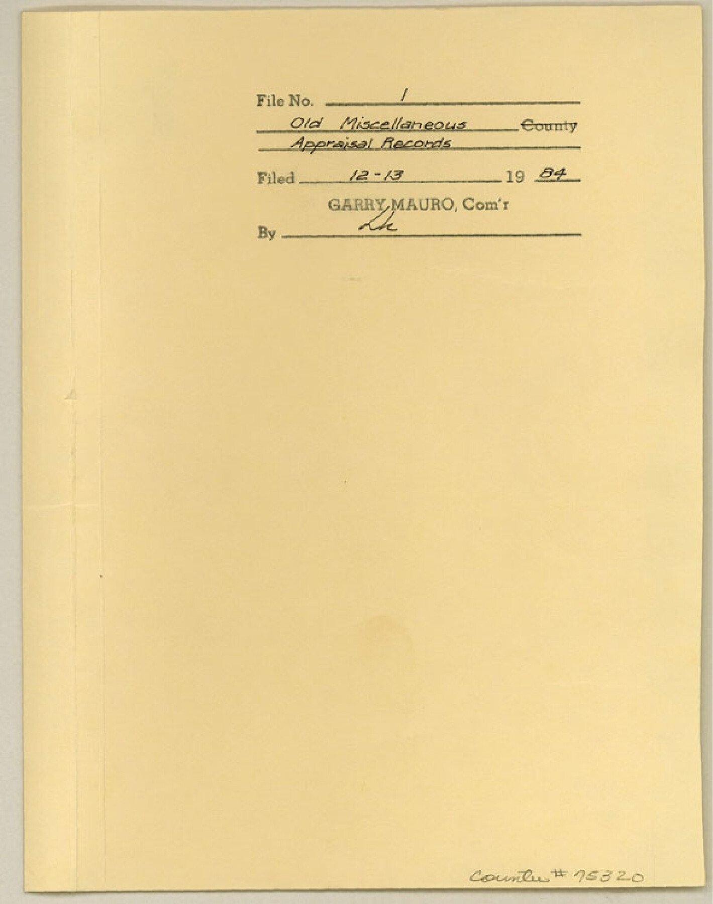
Old Miscellaneous File 1
Appraisal records for tracts in Hemphill and Lipscomb Counties
-
Map/Doc
75320
-
Collection
General Map Collection
-
Object Dates
1984/12/13 (File Date)
-
Subjects
County
-
Height x Width
8.3 x 6.6 inches
21.1 x 16.8 cm
Part of: General Map Collection
Jasper County Boundary File 1

Print $50.00
- Digital $50.00
Jasper County Boundary File 1
Size 12.6 x 20.5 inches
Map/Doc 55462
Wheeler County Rolled Sketch 2

Print $20.00
- Digital $50.00
Wheeler County Rolled Sketch 2
1941
Size 44.0 x 22.4 inches
Map/Doc 10137
Upton County Rolled Sketch 42

Print $40.00
- Digital $50.00
Upton County Rolled Sketch 42
Size 26.5 x 55.9 inches
Map/Doc 10056
Brewster County Sketch File 22

Print $15.00
- Digital $50.00
Brewster County Sketch File 22
Size 15.7 x 10.8 inches
Map/Doc 15820
Wise County Sketch File 8

Print $4.00
- Digital $50.00
Wise County Sketch File 8
1855
Size 12.2 x 7.8 inches
Map/Doc 40537
Knox County Rolled Sketch 10

Print $40.00
- Digital $50.00
Knox County Rolled Sketch 10
Size 56.6 x 35.6 inches
Map/Doc 10718
Aransas County Sketch File 17

Print $40.00
- Digital $50.00
Aransas County Sketch File 17
Size 28.4 x 16.7 inches
Map/Doc 10822
Hudspeth County Working Sketch 5

Print $20.00
- Digital $50.00
Hudspeth County Working Sketch 5
1921
Size 27.8 x 38.8 inches
Map/Doc 66286
Montague County Boundary File 2b

Print $10.00
- Digital $50.00
Montague County Boundary File 2b
Size 9.0 x 11.1 inches
Map/Doc 57414
Lipscomb County Working Sketch 2

Print $20.00
- Digital $50.00
Lipscomb County Working Sketch 2
1959
Size 33.4 x 36.6 inches
Map/Doc 70578
Jack County Boundary File 3

Print $10.00
- Digital $50.00
Jack County Boundary File 3
Size 9.2 x 4.0 inches
Map/Doc 55408
Galveston County Working Sketch 11

Print $20.00
- Digital $50.00
Galveston County Working Sketch 11
1967
Size 17.6 x 16.4 inches
Map/Doc 69348
You may also like
Dawson County

Print $20.00
- Digital $50.00
Dawson County
1959
Size 43.5 x 35.1 inches
Map/Doc 77259
Zapata County Rolled Sketch 4

Print $20.00
- Digital $50.00
Zapata County Rolled Sketch 4
1884
Size 15.6 x 13.8 inches
Map/Doc 8306
Harris County Working Sketch 75

Print $20.00
- Digital $50.00
Harris County Working Sketch 75
1964
Size 29.7 x 32.3 inches
Map/Doc 65967
Jackson County Sketch File 21a

Print $20.00
- Digital $50.00
Jackson County Sketch File 21a
1937
Size 25.7 x 35.4 inches
Map/Doc 11843
[Sketch for Mineral Application 27670 - Strip between Simon Sanchez leagues and Trinity River]
![2865, [Sketch for Mineral Application 27670 - Strip between Simon Sanchez leagues and Trinity River], General Map Collection](https://historictexasmaps.com/wmedia_w700/maps/2865-1.tif.jpg)
Print $40.00
- Digital $50.00
[Sketch for Mineral Application 27670 - Strip between Simon Sanchez leagues and Trinity River]
1934
Size 17.3 x 50.5 inches
Map/Doc 2865
Zapata County Rolled Sketch 25

Print $20.00
- Digital $50.00
Zapata County Rolled Sketch 25
Size 45.7 x 37.9 inches
Map/Doc 10172

Atascosa County Sketch File 3c

Print $4.00
- Digital $50.00
Atascosa County Sketch File 3c
1858
Size 14.3 x 7.3 inches
Map/Doc 13743
Edwards County Working Sketch 102

Print $20.00
- Digital $50.00
Edwards County Working Sketch 102
1971
Size 35.0 x 25.5 inches
Map/Doc 68978
Uvalde County Rolled Sketch 16

Print $20.00
- Digital $50.00
Uvalde County Rolled Sketch 16
Size 36.6 x 25.1 inches
Map/Doc 8100
A Map of the Internal Provinces of New Spain

Print $20.00
- Digital $50.00
A Map of the Internal Provinces of New Spain
1807
Size 20.9 x 20.0 inches
Map/Doc 97239
Kleberg County Rolled Sketch 10-43

Print $20.00
- Digital $50.00
Kleberg County Rolled Sketch 10-43
1951
Size 37.2 x 34.9 inches
Map/Doc 9395