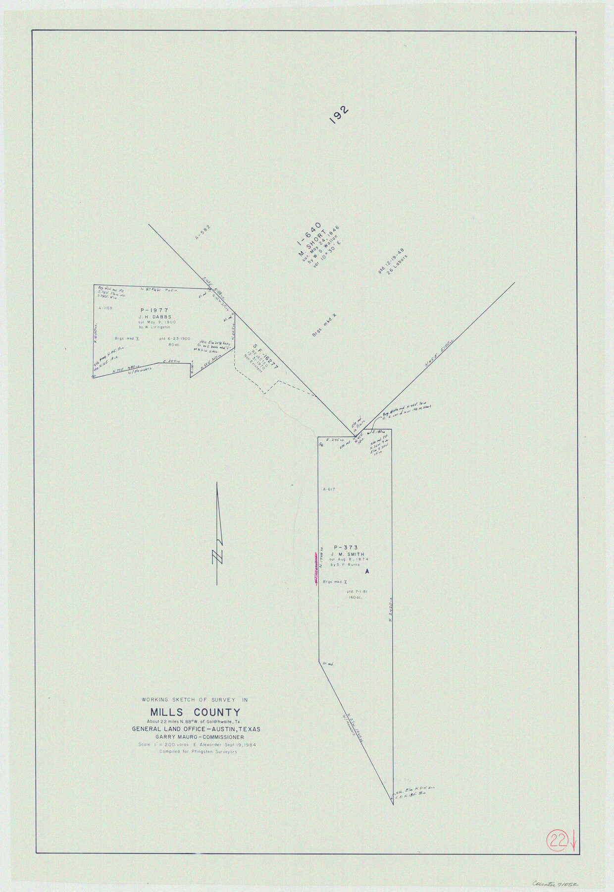
Mills County Working Sketch 22
-
Map/Doc
71052
-
Collection
General Map Collection
-
Object Dates
9/19/1984 (Creation Date)
-
People and Organizations
Earl Alexander (Draftsman)
-
Counties
Mills
-
Subjects
Surveying Working Sketch
-
Height x Width
28.7 x 19.8 inches
72.9 x 50.3 cm
-
Scale
1" = 200 varas
Part of: General Map Collection
Scurry County Rolled Sketch 7

Print $20.00
- Digital $50.00
Scurry County Rolled Sketch 7
1946
Size 23.5 x 10.4 inches
Map/Doc 7767
Map of Clay County

Print $20.00
- Digital $50.00
Map of Clay County
1874
Size 30.3 x 20.1 inches
Map/Doc 3403
Austin County Sketch File 11

Print $8.00
- Digital $50.00
Austin County Sketch File 11
1895
Size 11.1 x 8.6 inches
Map/Doc 13877
Map of Kerr County

Print $20.00
- Digital $50.00
Map of Kerr County
1869
Size 22.2 x 32.1 inches
Map/Doc 3764
King County Rolled Sketch 9

Print $20.00
- Digital $50.00
King County Rolled Sketch 9
Size 25.9 x 34.2 inches
Map/Doc 9350
Jones County Rolled Sketch 3

Print $20.00
- Digital $50.00
Jones County Rolled Sketch 3
2016
Size 22.1 x 34.4 inches
Map/Doc 97130
Map of Mexico, Including Yucatan & Upper California, exhibiting the Chief Cities and Towns, the Principal Travelling Routes &c.

Print $20.00
- Digital $50.00
Map of Mexico, Including Yucatan & Upper California, exhibiting the Chief Cities and Towns, the Principal Travelling Routes &c.
1847
Size 33.3 x 25.4 inches
Map/Doc 95697
Travis County Sketch File 45

Print $20.00
- Digital $50.00
Travis County Sketch File 45
1937
Size 22.7 x 37.8 inches
Map/Doc 12467
Kleberg County Rolled Sketch 10-29

Print $20.00
- Digital $50.00
Kleberg County Rolled Sketch 10-29
1952
Size 37.6 x 33.8 inches
Map/Doc 9373
Comanche County Sketch File 16a

Print $4.00
- Digital $50.00
Comanche County Sketch File 16a
Size 6.1 x 8.5 inches
Map/Doc 19084
Newton County Working Sketch 37

Print $20.00
- Digital $50.00
Newton County Working Sketch 37
1960
Size 31.7 x 22.7 inches
Map/Doc 71283
Colton's "New Medium" Map of the State of Texas, the Indian Territory, etc. from the latest & most authentic sources

Print $20.00
- Digital $50.00
Colton's "New Medium" Map of the State of Texas, the Indian Territory, etc. from the latest & most authentic sources
1884
Size 25.4 x 29.5 inches
Map/Doc 96524
You may also like
Flight Mission No. CGI-1N, Frame 181, Cameron County

Print $20.00
- Digital $50.00
Flight Mission No. CGI-1N, Frame 181, Cameron County
1955
Size 18.7 x 22.2 inches
Map/Doc 84516
Mexicque, ou Nouvelle Espagne, Nouvelle Gallice, Iucatan & c. et autres Provinces jusques a L'Isthme de Panama; ou font les Audiences de Mexico, de Guadalaiara, et de Guatimala

Print $20.00
- Digital $50.00
Mexicque, ou Nouvelle Espagne, Nouvelle Gallice, Iucatan & c. et autres Provinces jusques a L'Isthme de Panama; ou font les Audiences de Mexico, de Guadalaiara, et de Guatimala
1656
Size 15.7 x 22.3 inches
Map/Doc 95831

Coast of Texas from head of East Bay Galveston Harbor to Sabine Pass

Print $40.00
- Digital $50.00
Coast of Texas from head of East Bay Galveston Harbor to Sabine Pass
1882
Size 32.2 x 54.1 inches
Map/Doc 69839
Knox County Sketch File 10a

Print $40.00
- Digital $50.00
Knox County Sketch File 10a
1902
Size 9.5 x 19.0 inches
Map/Doc 29223

Sketch of Surveys in Knox, Baylor, Haskell and Throckmorton Ctes

Print $40.00
- Digital $50.00
Sketch of Surveys in Knox, Baylor, Haskell and Throckmorton Ctes
1888
Size 43.3 x 58.5 inches
Map/Doc 4386
Henderson County Working Sketch 7

Print $20.00
- Digital $50.00
Henderson County Working Sketch 7
1922
Size 12.5 x 18.8 inches
Map/Doc 66140
Hutchinson County Sketch File 20m

Print $20.00
- Digital $50.00
Hutchinson County Sketch File 20m
Size 36.2 x 43.6 inches
Map/Doc 10501
Map of Fayette County

Print $20.00
- Digital $50.00
Map of Fayette County
1865
Size 23.2 x 28.8 inches
Map/Doc 3540
Motley County Working Sketch 7

Print $20.00
- Digital $50.00
Motley County Working Sketch 7
1983
Size 33.8 x 42.8 inches
Map/Doc 71212
Harris County Sketch File 75

Print $4.00
- Digital $50.00
Harris County Sketch File 75
1948
Size 11.7 x 9.0 inches
Map/Doc 25544