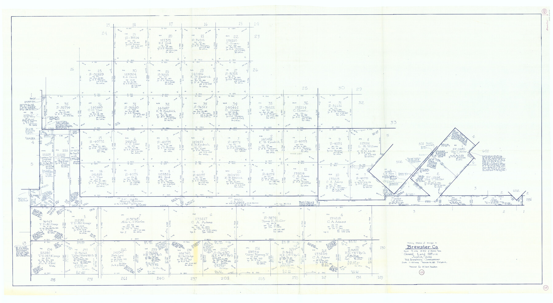
Brewster County Working Sketch 105
-
Map/Doc
67705
-
Collection
General Map Collection
-
Object Dates
9/30/1980 (Creation Date)
-
People and Organizations
Joan Kilpatrick (Draftsman)
-
Counties
Brewster
-
Subjects
Surveying Working Sketch
-
Height x Width
42.5 x 77.6 inches
108.0 x 197.1 cm
-
Scale
1" = 400 varas
Part of: General Map Collection
Map showing survey for proposed ship channel from Brownsville to Brazos Santiago Pass

Print $20.00
- Digital $50.00
Map showing survey for proposed ship channel from Brownsville to Brazos Santiago Pass
1912
Size 18.1 x 28.0 inches
Map/Doc 72899
Webb County Working Sketch 86

Print $20.00
- Digital $50.00
Webb County Working Sketch 86
1981
Size 44.3 x 37.0 inches
Map/Doc 72453
Hudspeth County Rolled Sketch 65

Print $40.00
- Digital $50.00
Hudspeth County Rolled Sketch 65
1988
Size 70.5 x 37.7 inches
Map/Doc 9229
Erath County Rolled Sketch 7

Print $20.00
- Digital $50.00
Erath County Rolled Sketch 7
Size 19.2 x 24.4 inches
Map/Doc 88881
Flight Mission No. DCL-6C, Frame 27, Kenedy County

Print $20.00
- Digital $50.00
Flight Mission No. DCL-6C, Frame 27, Kenedy County
1943
Size 18.7 x 22.4 inches
Map/Doc 85884
Cherokee County Sketch File 6

Print $22.00
- Digital $50.00
Cherokee County Sketch File 6
1852
Size 12.4 x 16.4 inches
Map/Doc 18126
Map of Texas compiled from surveys recorded in the Land Office of Texas and other official surveys

Print $20.00
- Digital $50.00
Map of Texas compiled from surveys recorded in the Land Office of Texas and other official surveys
1841
Size 24.6 x 24.2 inches
Map/Doc 96435
Hopkins County Sketch File 21

Print $24.00
- Digital $50.00
Hopkins County Sketch File 21
1871
Size 8.1 x 12.5 inches
Map/Doc 26727
Gregg County Rolled Sketch FB

Print $84.00
- Digital $50.00
Gregg County Rolled Sketch FB
1932
Size 25.2 x 56.7 inches
Map/Doc 9326
Flight Mission No. BQY-4M, Frame 124, Harris County

Print $20.00
- Digital $50.00
Flight Mission No. BQY-4M, Frame 124, Harris County
1953
Size 18.7 x 22.4 inches
Map/Doc 85292
Galveston Bay and Approaches

Print $20.00
- Digital $50.00
Galveston Bay and Approaches
1946
Size 45.5 x 34.0 inches
Map/Doc 69876
Jones County Sketch File 15

Print $40.00
- Digital $50.00
Jones County Sketch File 15
1892
Size 13.7 x 16.3 inches
Map/Doc 28503
You may also like
Map of the Texas & Pacific Railway and connections

Print $20.00
- Digital $50.00
Map of the Texas & Pacific Railway and connections
1892
Size 22.5 x 31.9 inches
Map/Doc 95761
General Chart of the Coast No. XXI Gulf Coast from Galveston to the Rio Grande

Print $20.00
- Digital $50.00
General Chart of the Coast No. XXI Gulf Coast from Galveston to the Rio Grande
1883
Size 27.1 x 18.2 inches
Map/Doc 72730
Supreme Court of the United States, October Term, 1923, No. 15, Original - The State of Oklahoma, Complainant vs. The State of Texas, Defendant, The United States, Intervener; Report of the Boundary Commissioners

Print $40.00
- Digital $50.00
Supreme Court of the United States, October Term, 1923, No. 15, Original - The State of Oklahoma, Complainant vs. The State of Texas, Defendant, The United States, Intervener; Report of the Boundary Commissioners
1923
Size 57.5 x 33.4 inches
Map/Doc 77591
Dimmit County Sketch File 14

Print $20.00
- Digital $50.00
Dimmit County Sketch File 14
1884
Size 35.7 x 23.3 inches
Map/Doc 11342
Flight Mission No. BQR-12K, Frame 49, Brazoria County

Print $20.00
- Digital $50.00
Flight Mission No. BQR-12K, Frame 49, Brazoria County
1952
Size 18.9 x 22.6 inches
Map/Doc 84064
[Blocks JK, JK4, JD, A1, and A2]
![90748, [Blocks JK, JK4, JD, A1, and A2], Twichell Survey Records](https://historictexasmaps.com/wmedia_w700/maps/90748-1.tif.jpg)
Print $20.00
- Digital $50.00
[Blocks JK, JK4, JD, A1, and A2]
Size 12.5 x 28.8 inches
Map/Doc 90748
Flight Mission No. DQN-6K, Frame 89, Calhoun County

Print $20.00
- Digital $50.00
Flight Mission No. DQN-6K, Frame 89, Calhoun County
1953
Size 18.5 x 22.2 inches
Map/Doc 84449
Presidio County Rolled Sketch 40

Print $20.00
- Digital $50.00
Presidio County Rolled Sketch 40
1907
Size 16.5 x 21.5 inches
Map/Doc 7337
Webb County Working Sketch 60

Print $20.00
- Digital $50.00
Webb County Working Sketch 60
1960
Size 43.3 x 47.8 inches
Map/Doc 72426
Dickens County Sketch File 30

Print $11.00
- Digital $50.00
Dickens County Sketch File 30
Size 8.3 x 8.2 inches
Map/Doc 21020
Callahan County Sketch File 2

Print $8.00
- Digital $50.00
Callahan County Sketch File 2
1858
Size 11.8 x 8.7 inches
Map/Doc 35853
Loving County Rolled Sketch 6

Print $20.00
- Digital $50.00
Loving County Rolled Sketch 6
Size 21.2 x 17.5 inches
Map/Doc 6637