[The S.K. Ry. of Texas, State Line to Pecos, Reeves Co., Texas]
Z-2-46
-
Map/Doc
64160
-
Collection
General Map Collection
-
Object Dates
1910/9/7 (Creation Date)
-
Counties
Reeves
-
Subjects
Railroads
-
Height x Width
19.5 x 119.7 inches
49.5 x 304.0 cm
-
Medium
blueprint/diazo
-
Scale
1" = 400'
-
Comments
See counter nos. 64158 through 64164 for all segments.
-
Features
SKR
Pecos River
Arno
Part of: General Map Collection
Cass County Rolled Sketch 5B


Print $20.00
- Digital $50.00
Cass County Rolled Sketch 5B
1949
Size 23.5 x 16.4 inches
Map/Doc 5412
Hudspeth County Working Sketch 47


Print $20.00
- Digital $50.00
Hudspeth County Working Sketch 47
1984
Size 27.3 x 38.6 inches
Map/Doc 78211
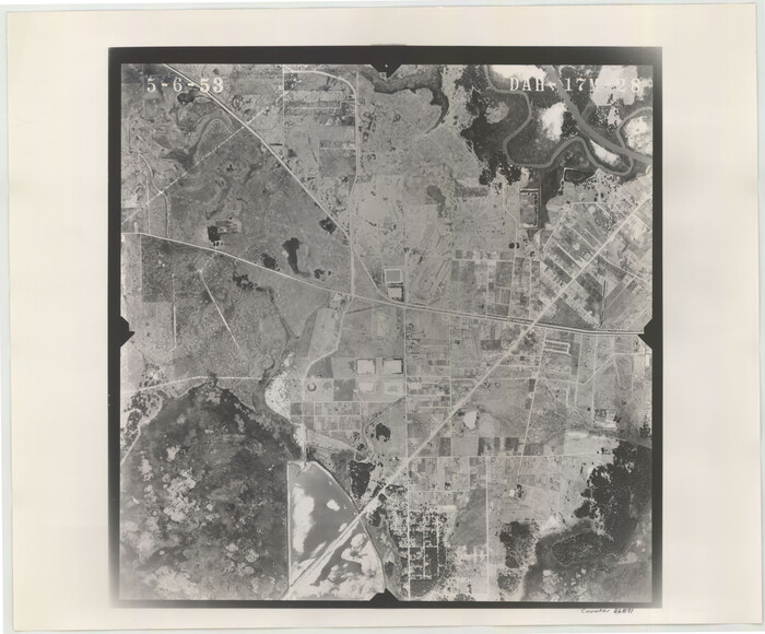
Flight Mission No. DAH-17M, Frame 28, Orange County

Print $20.00
- Digital $50.00
Flight Mission No. DAH-17M, Frame 28, Orange County
1953
Size 18.5 x 22.3 inches
Map/Doc 86891
Limestone County Sketch File 21

Print $40.00
- Digital $50.00
Limestone County Sketch File 21
1922
Size 17.0 x 12.3 inches
Map/Doc 30199
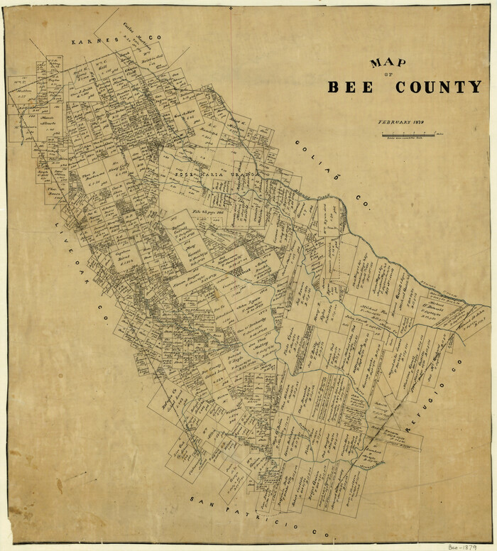
Map of Bee County

Print $20.00
- Digital $50.00
Map of Bee County
1879
Size 25.1 x 22.7 inches
Map/Doc 3289
The Coast & Bays of Western Texas, St. Joseph's and Mustang Islands from actual survey, the remainder from county maps, etc.
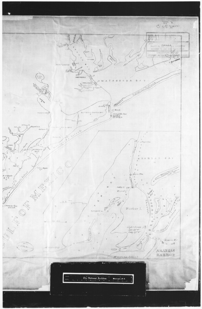

Print $20.00
- Digital $50.00
The Coast & Bays of Western Texas, St. Joseph's and Mustang Islands from actual survey, the remainder from county maps, etc.
1857
Size 28.0 x 18.3 inches
Map/Doc 72767
[Surveys in the Bexar District along Hondo and Seco Creeks]
![314, [Surveys in the Bexar District along Hondo and Seco Creeks], General Map Collection](https://historictexasmaps.com/wmedia_w700/maps/314.tif.jpg)
![314, [Surveys in the Bexar District along Hondo and Seco Creeks], General Map Collection](https://historictexasmaps.com/wmedia_w700/maps/314.tif.jpg)
Print $3.00
- Digital $50.00
[Surveys in the Bexar District along Hondo and Seco Creeks]
1847
Size 9.3 x 9.9 inches
Map/Doc 314
Flight Mission No. DQN-1K, Frame 118, Calhoun County

Print $20.00
- Digital $50.00
Flight Mission No. DQN-1K, Frame 118, Calhoun County
1953
Size 18.5 x 22.2 inches
Map/Doc 84184
Jefferson County Sketch File 8


Print $8.00
- Digital $50.00
Jefferson County Sketch File 8
Size 8.0 x 7.6 inches
Map/Doc 28116
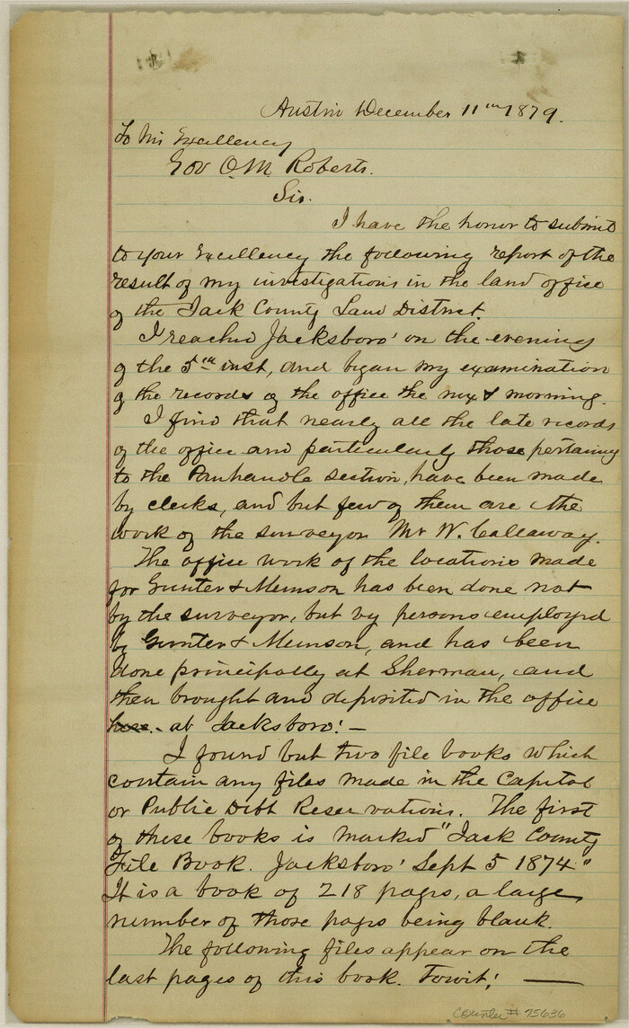
Old Miscellaneous File 27

Print $28.00
- Digital $50.00
Old Miscellaneous File 27
1879
Size 14.4 x 8.8 inches
Map/Doc 75636
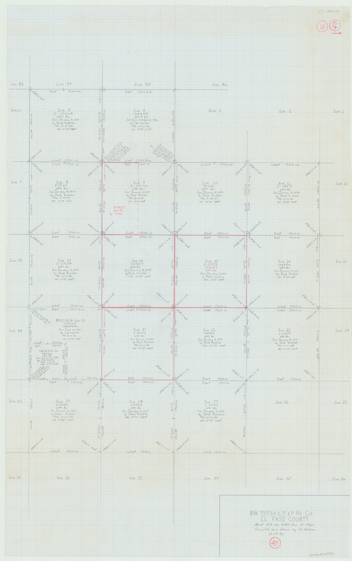
El Paso County Working Sketch 49

Print $20.00
- Digital $50.00
El Paso County Working Sketch 49
1990
Size 36.8 x 23.1 inches
Map/Doc 69071
You may also like
Houston County Sketch File 44


Print $42.00
- Digital $50.00
Houston County Sketch File 44
1847
Size 8.3 x 12.9 inches
Map/Doc 26834
Cameron County
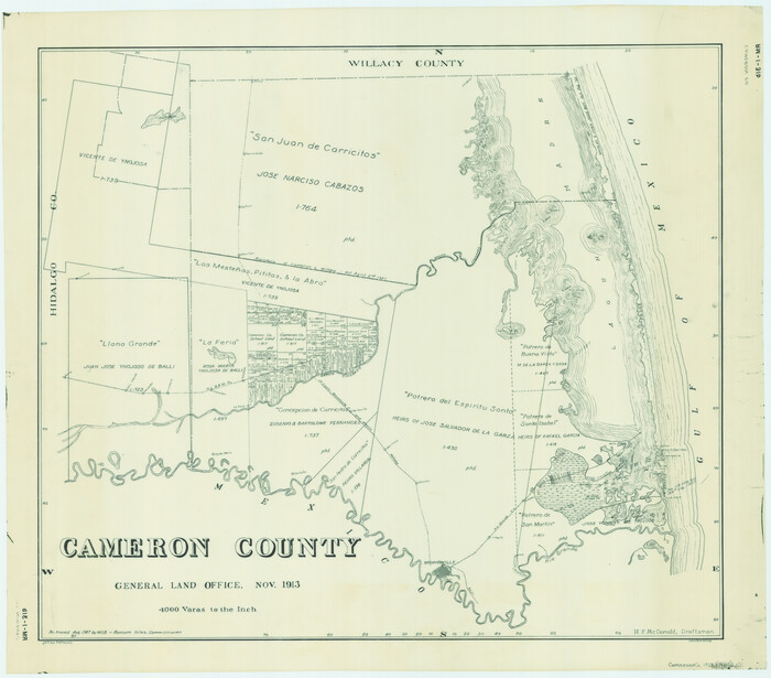

Print $20.00
- Digital $50.00
Cameron County
1913
Size 29.8 x 33.9 inches
Map/Doc 66746
Edwards County Working Sketch 119
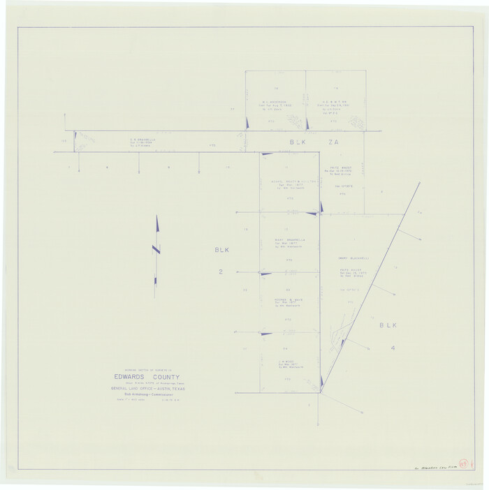

Print $20.00
- Digital $50.00
Edwards County Working Sketch 119
1975
Size 38.8 x 38.7 inches
Map/Doc 68995
[Sections 47-76 and part of Block 3]
![91807, [Sections 47-76 and part of Block 3], Twichell Survey Records](https://historictexasmaps.com/wmedia_w700/maps/91807-1.tif.jpg)
![91807, [Sections 47-76 and part of Block 3], Twichell Survey Records](https://historictexasmaps.com/wmedia_w700/maps/91807-1.tif.jpg)
Print $20.00
- Digital $50.00
[Sections 47-76 and part of Block 3]
Size 34.1 x 31.7 inches
Map/Doc 91807
Flight Mission No. CUG-1P, Frame 75, Kleberg County
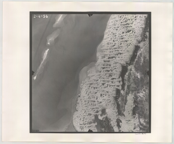

Print $20.00
- Digital $50.00
Flight Mission No. CUG-1P, Frame 75, Kleberg County
1956
Size 18.5 x 22.3 inches
Map/Doc 86140
Jefferson County Rolled Sketch 18


Print $40.00
- Digital $50.00
Jefferson County Rolled Sketch 18
1931
Size 19.1 x 72.8 inches
Map/Doc 9282
Plat showing proposed Water Permit on Cow Bayou in Orange County, Texas


Print $20.00
- Digital $50.00
Plat showing proposed Water Permit on Cow Bayou in Orange County, Texas
1922
Size 24.3 x 16.4 inches
Map/Doc 93017
Shelby County Working Sketch 1


Print $20.00
- Digital $50.00
Shelby County Working Sketch 1
1917
Size 26.2 x 30.0 inches
Map/Doc 63854
Hall County Sketch File 32
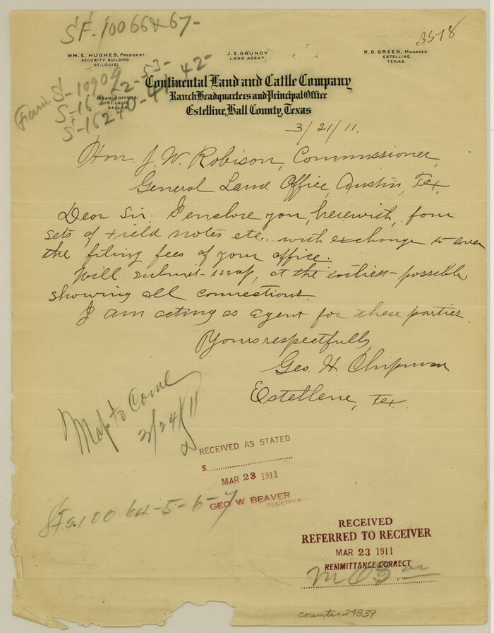

Print $14.00
- Digital $50.00
Hall County Sketch File 32
1911
Size 11.2 x 8.8 inches
Map/Doc 24839
[Surveys in the Bexar District along the San Antonio River showing the position of the missions]
![125, [Surveys in the Bexar District along the San Antonio River showing the position of the missions], General Map Collection](https://historictexasmaps.com/wmedia_w700/maps/125.tif.jpg)
![125, [Surveys in the Bexar District along the San Antonio River showing the position of the missions], General Map Collection](https://historictexasmaps.com/wmedia_w700/maps/125.tif.jpg)
Print $3.00
- Digital $50.00
[Surveys in the Bexar District along the San Antonio River showing the position of the missions]
1841
Size 11.2 x 16.0 inches
Map/Doc 125
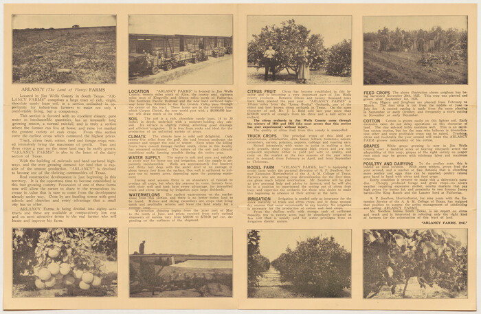
Arlancy the Land of Plenty Farms

Print $20.00
- Digital $50.00
Arlancy the Land of Plenty Farms
1925
Size 10.8 x 16.6 inches
Map/Doc 96738
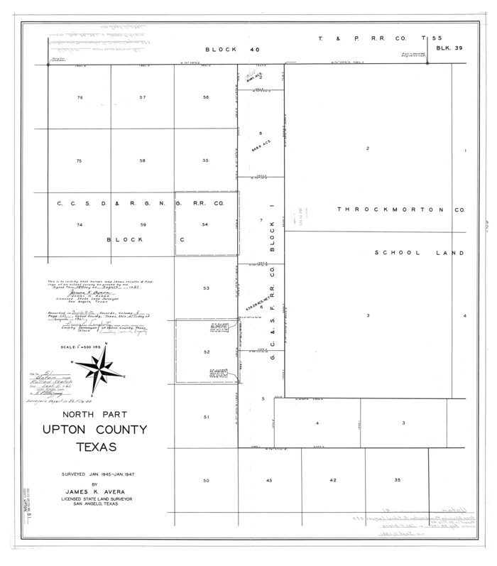
Upton County Rolled Sketch 51

Print $20.00
- Digital $50.00
Upton County Rolled Sketch 51
1961
Size 34.0 x 29.8 inches
Map/Doc 8086
![64160, [The S.K. Ry. of Texas, State Line to Pecos, Reeves Co., Texas], General Map Collection](https://historictexasmaps.com/wmedia_w1800h1800/maps/64160.tif.jpg)
