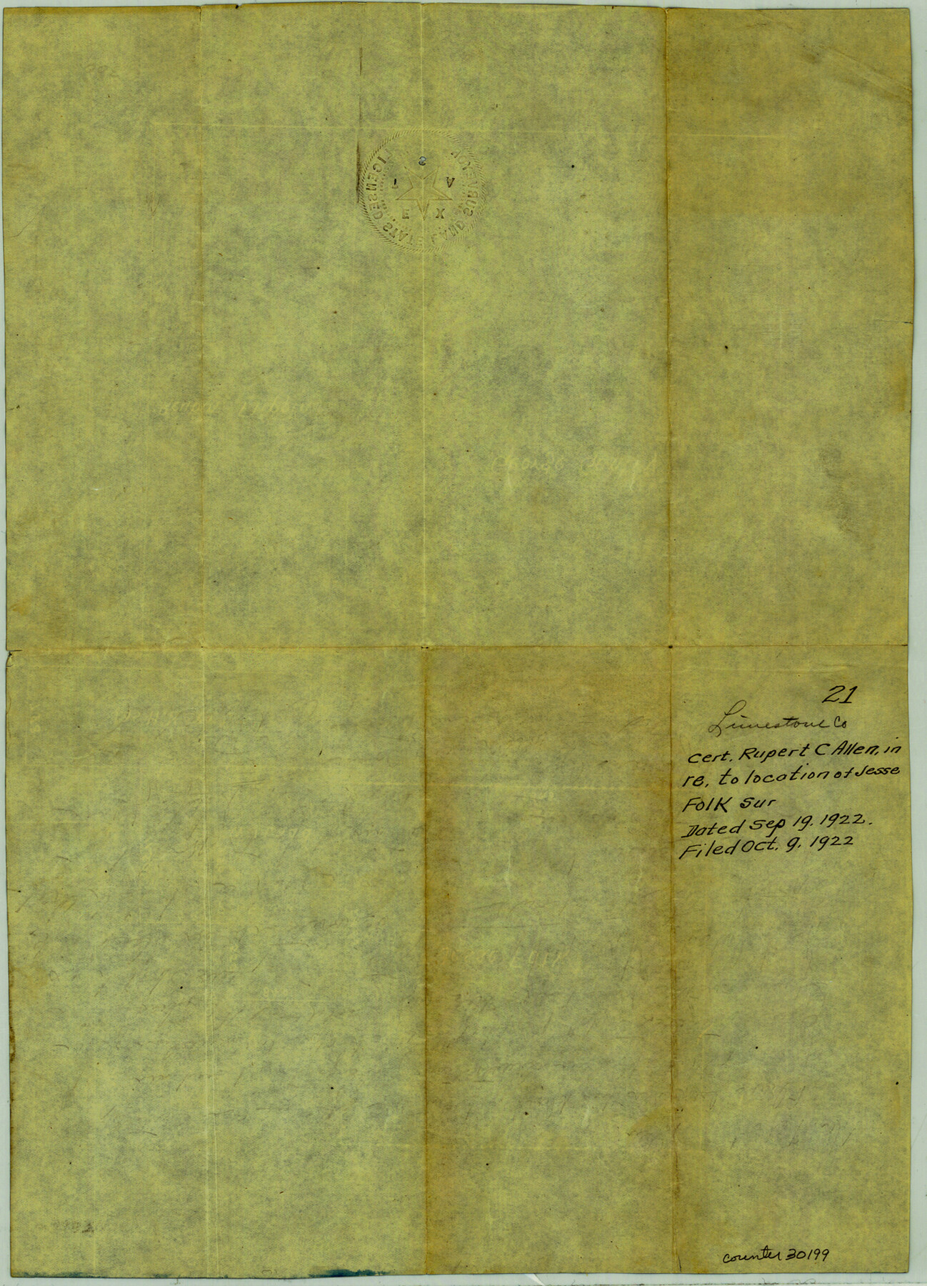
Limestone County Sketch File 21
[Sketch showing fences on north and south lines of Jessie Folk survey and south line of W. J. Ladd survey]
-
Map/Doc
30199
-
Collection
General Map Collection
-
Object Dates
9/19/1922 (Creation Date)
10/9/1922 (File Date)
-
People and Organizations
R.C. Allen (Surveyor/Engineer)
-
Counties
Limestone
-
Subjects
Surveying Sketch File
-
Height x Width
17.0 x 12.3 inches
43.2 x 31.2 cm
-
Medium
blueprint/diazo
Part of: General Map Collection
McLennan County

Print $20.00
- Digital $50.00
McLennan County
1946
Size 42.5 x 45.8 inches
Map/Doc 73235
Houston County Working Sketch 34

Print $40.00
- Digital $50.00
Houston County Working Sketch 34
Size 50.9 x 37.3 inches
Map/Doc 66264
Milam County Sketch File 9

Print $4.00
- Digital $50.00
Milam County Sketch File 9
1873
Size 12.8 x 8.2 inches
Map/Doc 31639
Randall County Working Sketch 3

Print $40.00
- Digital $50.00
Randall County Working Sketch 3
1934
Size 48.8 x 42.5 inches
Map/Doc 71840
Map of Brazoria County

Print $20.00
- Digital $50.00
Map of Brazoria County
1918
Size 26.1 x 22.6 inches
Map/Doc 1518
Archer County Sketch File 8a

Print $8.00
- Digital $50.00
Archer County Sketch File 8a
Size 8.8 x 7.1 inches
Map/Doc 13639
Trinity River, Emhouse Sheet/Chambers Creek

Print $20.00
- Digital $50.00
Trinity River, Emhouse Sheet/Chambers Creek
1931
Size 35.8 x 35.3 inches
Map/Doc 65233
Gonzales County Sketch File 1

Print $4.00
- Digital $50.00
Gonzales County Sketch File 1
1858
Size 8.1 x 10.2 inches
Map/Doc 24355
Hardin County Rolled Sketch 15

Print $20.00
- Digital $50.00
Hardin County Rolled Sketch 15
1938
Size 30.9 x 23.7 inches
Map/Doc 6084
Exploration of the Red River of Louisiana in the the year 1852 by Randolph B. Marcy, Captain Fifth Infantry U.S. Army; assisted by George B. McClellan, Brevet Captain U.S. Engineers

Exploration of the Red River of Louisiana in the the year 1852 by Randolph B. Marcy, Captain Fifth Infantry U.S. Army; assisted by George B. McClellan, Brevet Captain U.S. Engineers
Size 9.5 x 11.7 inches
Map/Doc 95321
La Salle County Sketch File 5

Print $2.00
- Digital $50.00
La Salle County Sketch File 5
Size 6.9 x 8.9 inches
Map/Doc 29452
Flight Mission No. CUG-3P, Frame 137, Kleberg County

Print $20.00
- Digital $50.00
Flight Mission No. CUG-3P, Frame 137, Kleberg County
1956
Size 18.4 x 22.2 inches
Map/Doc 86272
You may also like
Flight Mission No. CUG-1P, Frame 47, Kleberg County

Print $20.00
- Digital $50.00
Flight Mission No. CUG-1P, Frame 47, Kleberg County
1956
Size 18.7 x 22.4 inches
Map/Doc 86125
Galveston Bay and Approaches

Print $20.00
- Digital $50.00
Galveston Bay and Approaches
1946
Size 45.5 x 34.0 inches
Map/Doc 69876
[Sketch of F.R. Lehmann surveys on the Rio Grande]
![554, [Sketch of F.R. Lehmann surveys on the Rio Grande], Maddox Collection](https://historictexasmaps.com/wmedia_w700/maps/554.tif.jpg)
Print $20.00
- Digital $50.00
[Sketch of F.R. Lehmann surveys on the Rio Grande]
Size 14.7 x 16.8 inches
Map/Doc 554
El Paso Street and Vicinity Map (Verso)

El Paso Street and Vicinity Map (Verso)
1962
Size 18.3 x 30.8 inches
Map/Doc 94176
Brewster County Working Sketch 98

Print $20.00
- Digital $50.00
Brewster County Working Sketch 98
1978
Size 44.9 x 28.5 inches
Map/Doc 67698
[Surveys along the Nueces River, San Patricio District]
![69738, [Surveys along the Nueces River, San Patricio District], General Map Collection](https://historictexasmaps.com/wmedia_w700/maps/69738.tif.jpg)
Print $2.00
- Digital $50.00
[Surveys along the Nueces River, San Patricio District]
1842
Size 10.3 x 7.9 inches
Map/Doc 69738
Map of North America to illustrate Olney's school geography

Print $20.00
- Digital $50.00
Map of North America to illustrate Olney's school geography
1844
Size 12.1 x 9.3 inches
Map/Doc 93536
Howard County, Texas

Print $20.00
- Digital $50.00
Howard County, Texas
1870
Size 22.7 x 17.9 inches
Map/Doc 733
Flight Mission No. DIX-10P, Frame 70, Aransas County

Print $20.00
- Digital $50.00
Flight Mission No. DIX-10P, Frame 70, Aransas County
1956
Size 18.7 x 22.4 inches
Map/Doc 83931
G & H Blocks, Gaines County, Texas Resurvey

Print $40.00
- Digital $50.00
G & H Blocks, Gaines County, Texas Resurvey
1915
Size 57.4 x 33.9 inches
Map/Doc 89669
Anderson County Working Sketch 47

Print $40.00
- Digital $50.00
Anderson County Working Sketch 47
2012
Size 49.1 x 37.0 inches
Map/Doc 93396
[Blocks 44, 6T, 26, B10, and B12]
![91528, [Blocks 44, 6T, 26, B10, and B12], Twichell Survey Records](https://historictexasmaps.com/wmedia_w700/maps/91528-1.tif.jpg)
Print $20.00
- Digital $50.00
[Blocks 44, 6T, 26, B10, and B12]
Size 19.7 x 15.8 inches
Map/Doc 91528