[Gulf Colorado & Santa Fe from 2178+36.0 to 3901+06.2]
Z-2-197
-
Map/Doc
64695
-
Collection
General Map Collection
-
Counties
Presidio
-
Subjects
Railroads
-
Height x Width
33.6 x 120.7 inches
85.3 x 306.6 cm
-
Medium
blueprint/diazo
-
Comments
See 64695 through 64699 for all segments of this map.
-
Features
GC&SF
Rio Grande
Ojinaga
Millington Lake
Presidio
Part of: General Map Collection
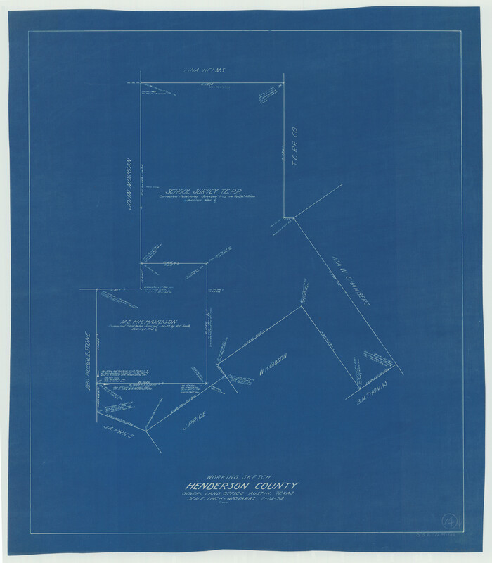
Henderson County Working Sketch 14

Print $20.00
- Digital $50.00
Henderson County Working Sketch 14
1934
Size 26.2 x 22.9 inches
Map/Doc 66147
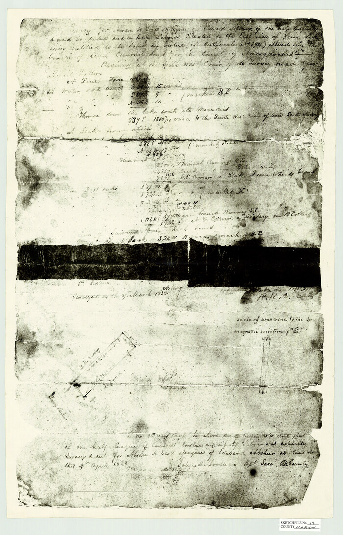
Marion County Sketch File 14

Print $20.00
- Digital $50.00
Marion County Sketch File 14
Size 26.6 x 17.1 inches
Map/Doc 12024
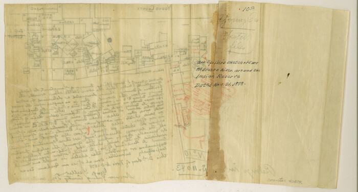
Young County Sketch File 10c

Print $4.00
- Digital $50.00
Young County Sketch File 10c
1878
Size 8.2 x 15.4 inches
Map/Doc 40872
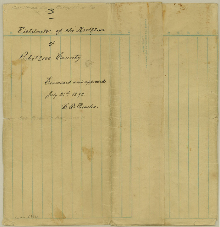
Ochiltree County Boundary File 1b

Print $16.00
- Digital $50.00
Ochiltree County Boundary File 1b
Size 8.6 x 8.4 inches
Map/Doc 57666
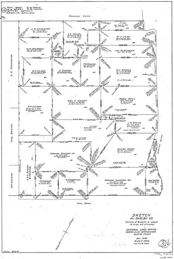
Shelby County Working Sketch 3

Print $20.00
- Digital $50.00
Shelby County Working Sketch 3
1940
Size 28.9 x 19.4 inches
Map/Doc 63856
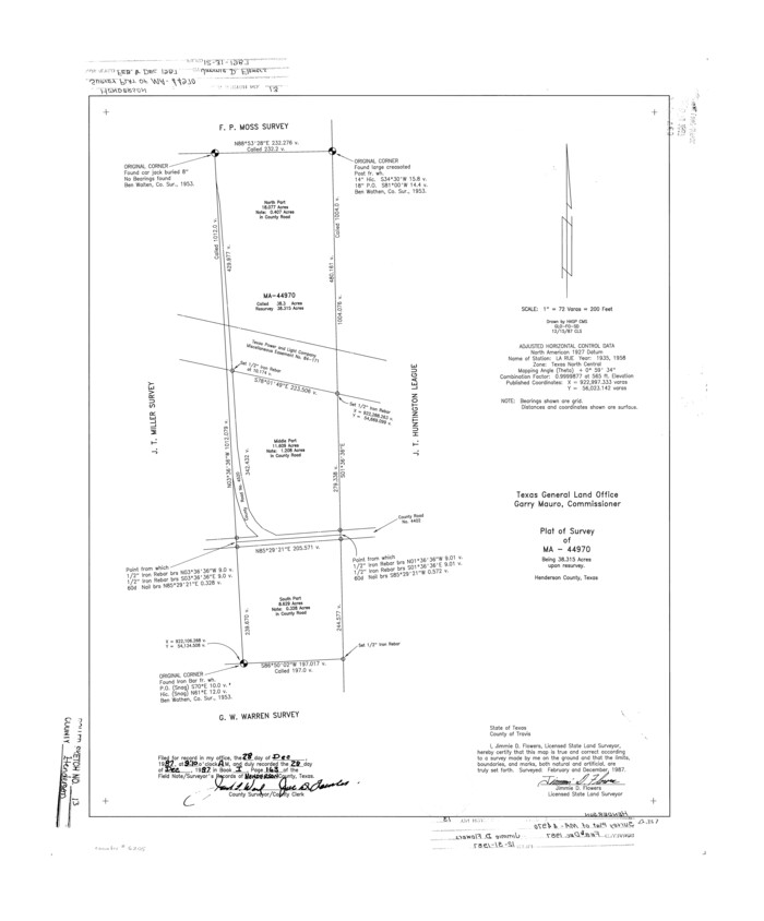
Henderson County Rolled Sketch 13

Print $20.00
- Digital $50.00
Henderson County Rolled Sketch 13
1987
Size 25.3 x 21.0 inches
Map/Doc 6205
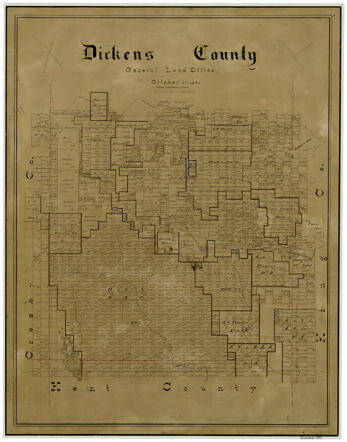
Dickens County

Print $20.00
- Digital $50.00
Dickens County
1891
Size 25.7 x 20.6 inches
Map/Doc 3488
Hamilton County Sketch File 1


Print $4.00
- Digital $50.00
Hamilton County Sketch File 1
Size 12.5 x 8.2 inches
Map/Doc 24897
Map of Navarro County


Print $20.00
- Digital $50.00
Map of Navarro County
1872
Size 17.6 x 22.6 inches
Map/Doc 3911
Dawson County Sketch File 22
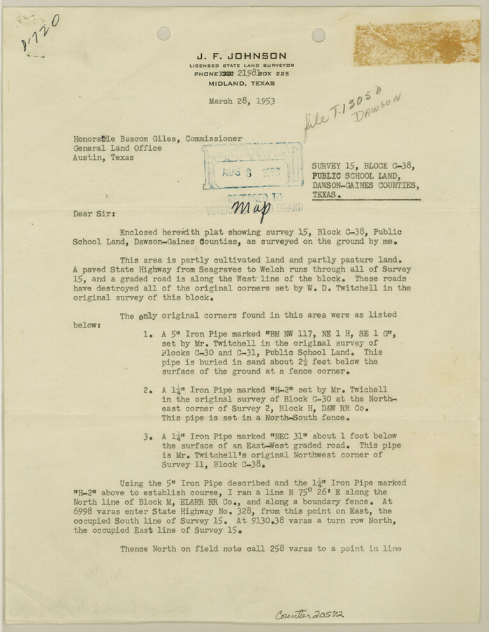

Print $6.00
- Digital $50.00
Dawson County Sketch File 22
1953
Size 11.2 x 8.7 inches
Map/Doc 20572
Gray County Working Sketch 6
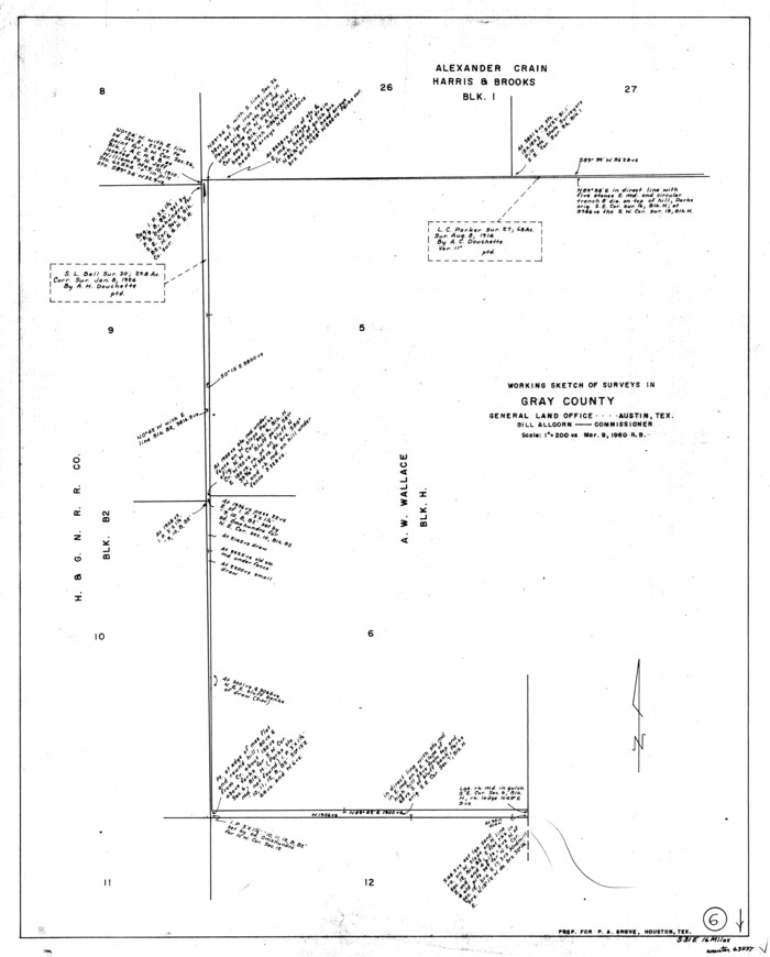

Print $20.00
- Digital $50.00
Gray County Working Sketch 6
1960
Size 28.8 x 23.2 inches
Map/Doc 63237
Lee County Sketch File 7
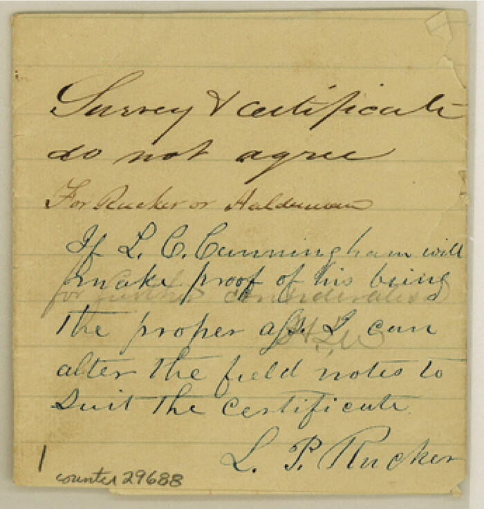

Print $36.00
- Digital $50.00
Lee County Sketch File 7
1838
Size 3.6 x 3.5 inches
Map/Doc 29688
You may also like
Gulf Intracoastal Waterway - Aransas Bay to Corpus Christi Bay - Modified Route Main Channel


Print $20.00
- Digital $50.00
Gulf Intracoastal Waterway - Aransas Bay to Corpus Christi Bay - Modified Route Main Channel
Size 30.9 x 41.9 inches
Map/Doc 61904
Madison County Working Sketch 12


Print $40.00
- Digital $50.00
Madison County Working Sketch 12
1965
Size 41.7 x 48.5 inches
Map/Doc 70774
Titus County, Texas
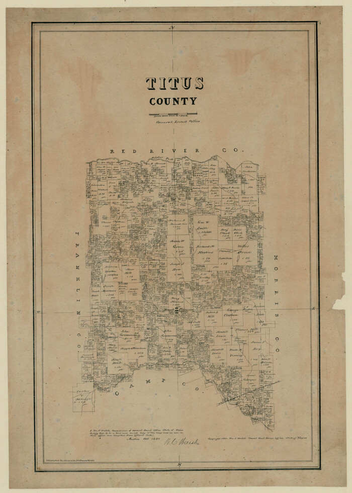

Print $20.00
- Digital $50.00
Titus County, Texas
1880
Size 29.4 x 22.8 inches
Map/Doc 629
Terrell County Sketch File 24
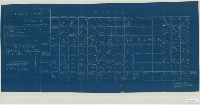

Print $20.00
- Digital $50.00
Terrell County Sketch File 24
1932
Size 22.0 x 41.8 inches
Map/Doc 10387
Crockett County Working Sketch 72


Print $20.00
- Digital $50.00
Crockett County Working Sketch 72
1963
Size 43.9 x 38.5 inches
Map/Doc 68405
[Catfish Creek Survey]
![92647, [Catfish Creek Survey], Twichell Survey Records](https://historictexasmaps.com/wmedia_w700/maps/92647-1.tif.jpg)
![92647, [Catfish Creek Survey], Twichell Survey Records](https://historictexasmaps.com/wmedia_w700/maps/92647-1.tif.jpg)
Print $20.00
- Digital $50.00
[Catfish Creek Survey]
1916
Size 21.9 x 26.0 inches
Map/Doc 92647
Map of Burleson County


Print $20.00
- Digital $50.00
Map of Burleson County
1867
Size 19.1 x 30.0 inches
Map/Doc 4511
Marion County Working Sketch 18
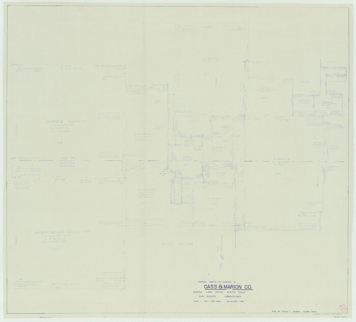

Print $20.00
- Digital $50.00
Marion County Working Sketch 18
1957
Size 36.4 x 40.3 inches
Map/Doc 70794
[Location Survey of the Southern Kansas Railway, Kiowa Extension from a point in Drake's Location, in Indian Territory 100 miles from south line of Kansas, continuing up Wolf Creek and South Canadian River to Cottonwood Creek in Hutchinson County]
![88840, [Location Survey of the Southern Kansas Railway, Kiowa Extension from a point in Drake's Location, in Indian Territory 100 miles from south line of Kansas, continuing up Wolf Creek and South Canadian River to Cottonwood Creek in Hutchinson County], General Map Collection](https://historictexasmaps.com/wmedia_w700/maps/88840.tif.jpg)
![88840, [Location Survey of the Southern Kansas Railway, Kiowa Extension from a point in Drake's Location, in Indian Territory 100 miles from south line of Kansas, continuing up Wolf Creek and South Canadian River to Cottonwood Creek in Hutchinson County], General Map Collection](https://historictexasmaps.com/wmedia_w700/maps/88840.tif.jpg)
Print $20.00
- Digital $50.00
[Location Survey of the Southern Kansas Railway, Kiowa Extension from a point in Drake's Location, in Indian Territory 100 miles from south line of Kansas, continuing up Wolf Creek and South Canadian River to Cottonwood Creek in Hutchinson County]
1886
Size 39.1 x 38.0 inches
Map/Doc 88840
Flight Mission No. BRA-8M, Frame 22, Jefferson County


Print $20.00
- Digital $50.00
Flight Mission No. BRA-8M, Frame 22, Jefferson County
1953
Size 18.5 x 22.4 inches
Map/Doc 85577
Working Sketch in Roberts County, H. & G. N. RR Surveys, Block A


Print $20.00
- Digital $50.00
Working Sketch in Roberts County, H. & G. N. RR Surveys, Block A
1922
Size 17.8 x 18.2 inches
Map/Doc 91767
![64695, [Gulf Colorado & Santa Fe from 2178+36.0 to 3901+06.2], General Map Collection](https://historictexasmaps.com/wmedia_w1800h1800/maps/64695-1.tif.jpg)
