[Sketch for Mineral Application 16341 - Clear Fork of Brazos River, Taylor & Holcomb]
K-1-33
-
Map/Doc
65572
-
Collection
General Map Collection
-
Object Dates
1926 (Creation Date)
-
Subjects
Energy Offshore Submerged Area
-
Height x Width
122.8 x 39.6 inches
311.9 x 100.6 cm
Part of: General Map Collection
Blanco County Sketch File 48

Print $6.00
- Digital $50.00
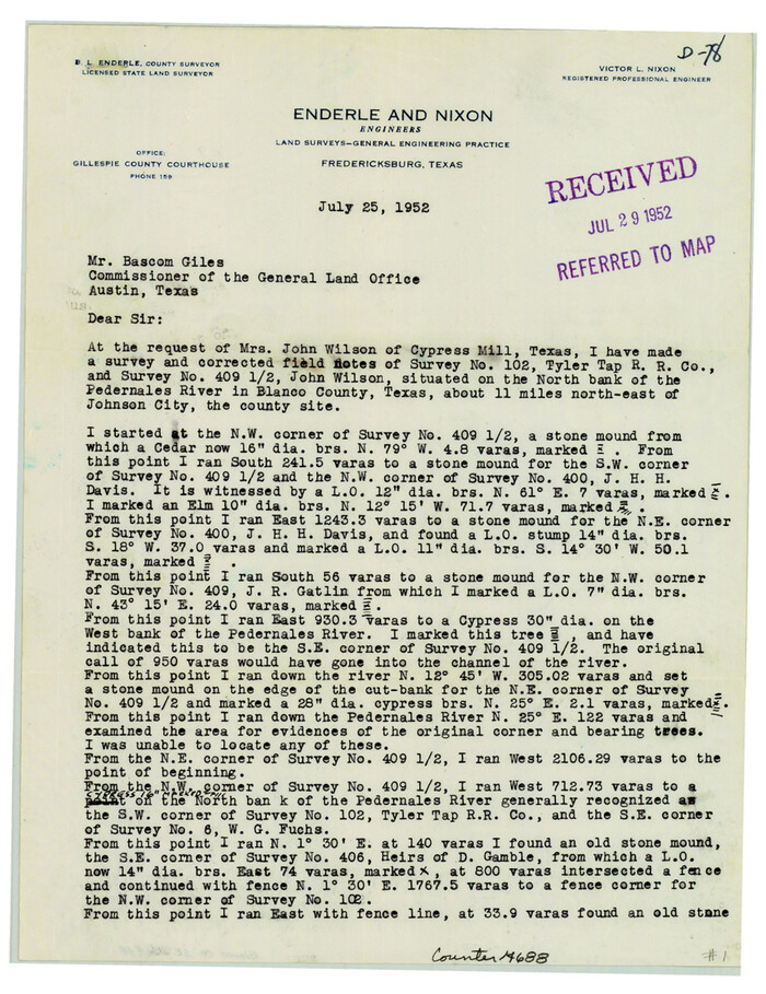
Blanco County Sketch File 48
1952
Size 11.7 x 9.0 inches
Map/Doc 14688
Hidalgo County Rolled Sketch 13


Print $20.00
- Digital $50.00
Hidalgo County Rolled Sketch 13
1960
Size 19.0 x 31.4 inches
Map/Doc 6212
Calhoun County NRC Article 33.136 Sketch 10

Digital $50.00
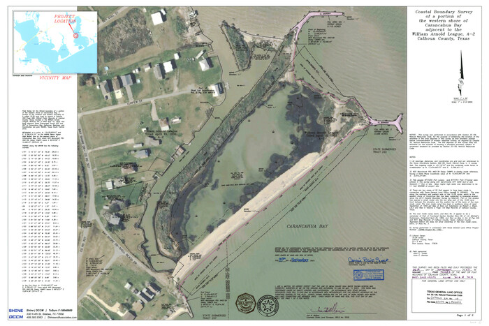
Calhoun County NRC Article 33.136 Sketch 10
2023
Map/Doc 97254
Calcasieu Pass to Sabine Pass

Print $20.00
- Digital $50.00
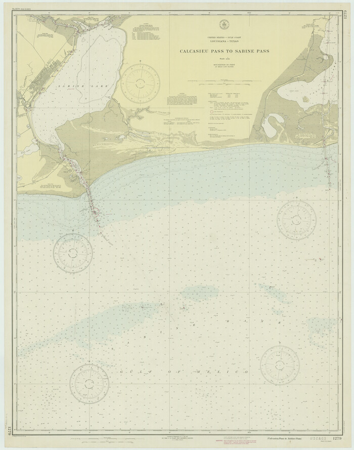
Calcasieu Pass to Sabine Pass
1943
Size 44.5 x 35.1 inches
Map/Doc 69805
Flight Mission No. CGI-3N, Frame 79, Cameron County


Print $20.00
- Digital $50.00
Flight Mission No. CGI-3N, Frame 79, Cameron County
1954
Size 18.6 x 22.4 inches
Map/Doc 84573
Jefferson County Sketch File 27
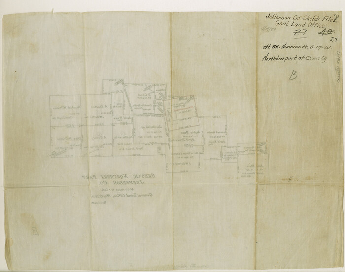

Print $6.00
- Digital $50.00
Jefferson County Sketch File 27
1901
Size 11.0 x 13.9 inches
Map/Doc 28191
Eastland County Boundary File 26
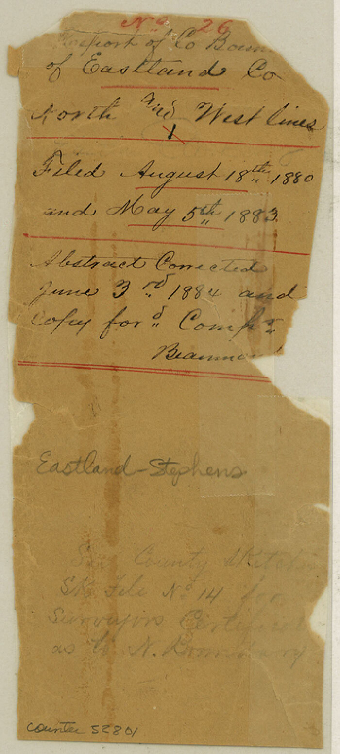

Print $24.00
- Digital $50.00
Eastland County Boundary File 26
Size 7.8 x 3.5 inches
Map/Doc 52801
Williamson County Working Sketch 3
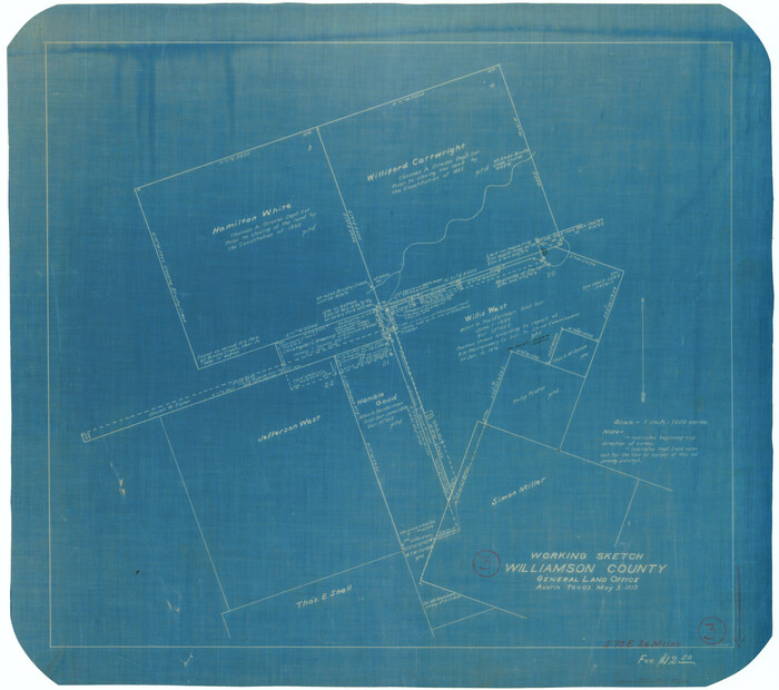

Print $20.00
- Digital $50.00
Williamson County Working Sketch 3
1915
Size 17.9 x 20.2 inches
Map/Doc 72563
Guadalupe County
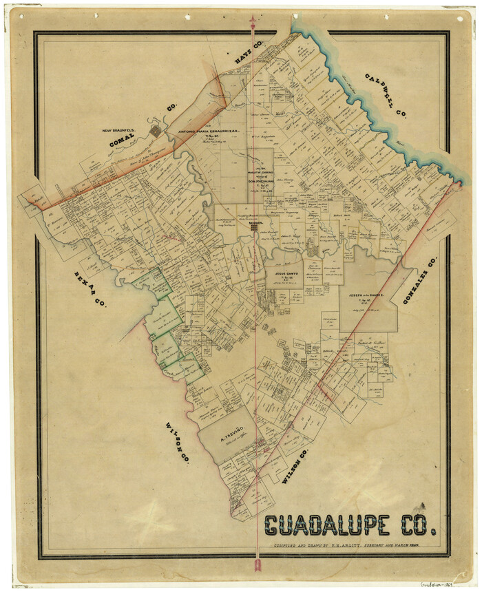

Print $20.00
- Digital $50.00
Guadalupe County
1869
Size 27.7 x 22.3 inches
Map/Doc 3607
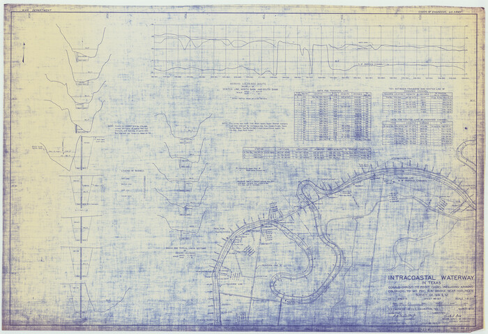
Intracoastal Waterway in Texas - Corpus Christi to Point Isabel including Arroyo Colorado to Mo. Pac. R.R. Bridge Near Harlingen

Print $20.00
- Digital $50.00
Intracoastal Waterway in Texas - Corpus Christi to Point Isabel including Arroyo Colorado to Mo. Pac. R.R. Bridge Near Harlingen
1933
Size 28.0 x 41.0 inches
Map/Doc 61875
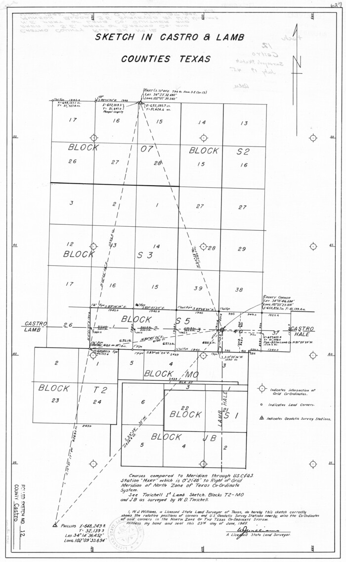
Castro County Rolled Sketch 12

Print $20.00
- Digital $50.00
Castro County Rolled Sketch 12
1945
Size 25.7 x 15.8 inches
Map/Doc 5421
You may also like
Martin County Boundary File 2a


Print $6.00
- Digital $50.00
Martin County Boundary File 2a
Size 14.1 x 8.8 inches
Map/Doc 56776
Bird's Eye View of the City of Galveston Texas


Print $20.00
Bird's Eye View of the City of Galveston Texas
1871
Size 20.4 x 30.8 inches
Map/Doc 89086
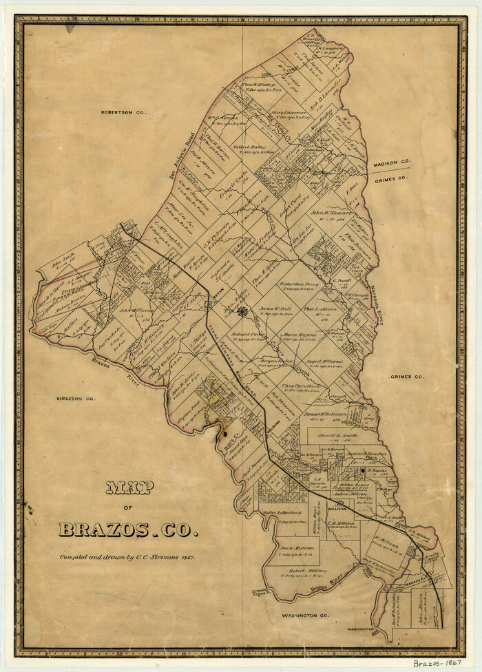
Map of Brazos County

Print $20.00
- Digital $50.00
Map of Brazos County
1867
Size 23.4 x 16.8 inches
Map/Doc 3327
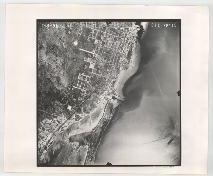
Flight Mission No. DIX-7P, Frame 15, Aransas County

Print $20.00
- Digital $50.00
Flight Mission No. DIX-7P, Frame 15, Aransas County
1956
Size 18.8 x 22.8 inches
Map/Doc 83867
Schleicher County Sketch File 17


Print $20.00
- Digital $50.00
Schleicher County Sketch File 17
Size 23.4 x 17.8 inches
Map/Doc 12299
Dimmit County Rolled Sketch 18


Print $20.00
- Digital $50.00
Dimmit County Rolled Sketch 18
1978
Size 20.2 x 26.0 inches
Map/Doc 5725
Webb County Working Sketch 19
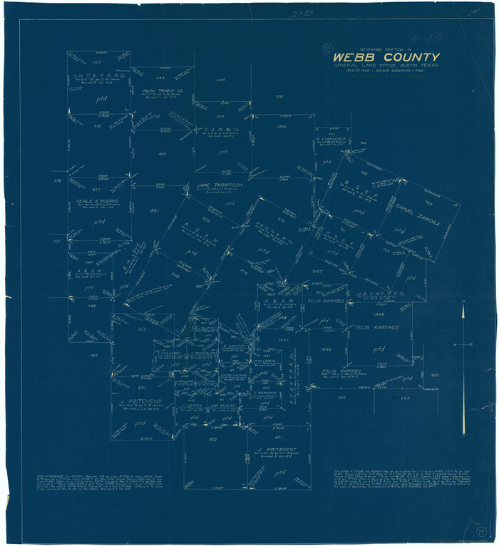

Print $20.00
- Digital $50.00
Webb County Working Sketch 19
1925
Size 32.6 x 29.8 inches
Map/Doc 72384
Terrell County Rolled Sketch 47
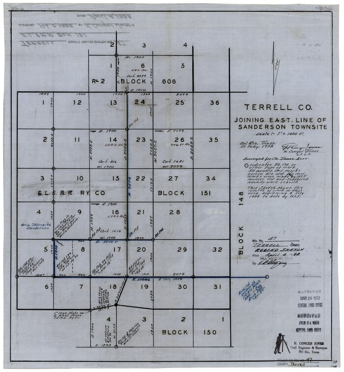

Print $20.00
- Digital $50.00
Terrell County Rolled Sketch 47
1958
Size 20.0 x 18.4 inches
Map/Doc 7949
[Blocks B16, B7, B15]
![93130, [Blocks B16, B7, B15], Twichell Survey Records](https://historictexasmaps.com/wmedia_w700/maps/93130-1.tif.jpg)
![93130, [Blocks B16, B7, B15], Twichell Survey Records](https://historictexasmaps.com/wmedia_w700/maps/93130-1.tif.jpg)
Print $40.00
- Digital $50.00
[Blocks B16, B7, B15]
Size 57.2 x 51.5 inches
Map/Doc 93130
Copy of Surveyor's Field Book, Morris Browning - In Blocks 7, 5 & 4, I&GNRRCo., Hutchinson and Carson Counties, Texas
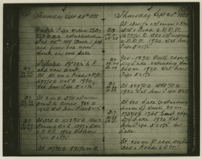

Print $2.00
- Digital $50.00
Copy of Surveyor's Field Book, Morris Browning - In Blocks 7, 5 & 4, I&GNRRCo., Hutchinson and Carson Counties, Texas
1888
Size 7.0 x 8.9 inches
Map/Doc 62266
Smith County Working Sketch 14
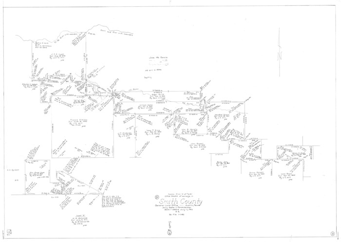

Print $40.00
- Digital $50.00
Smith County Working Sketch 14
1966
Size 34.9 x 49.2 inches
Map/Doc 63899
San Jacinto County Working Sketch 10
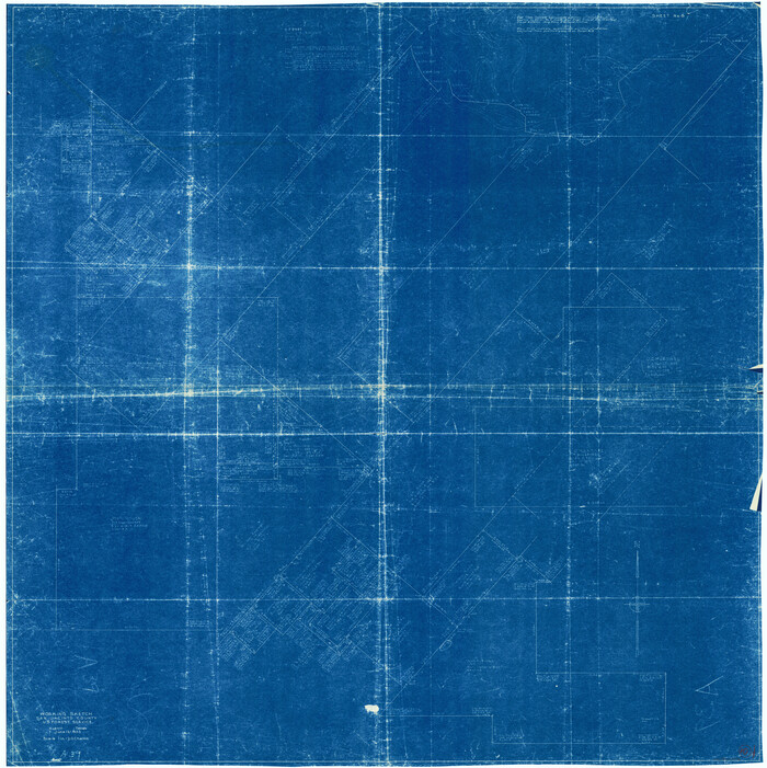

Print $20.00
- Digital $50.00
San Jacinto County Working Sketch 10
1935
Size 40.1 x 40.1 inches
Map/Doc 63723
![65572, [Sketch for Mineral Application 16341 - Clear Fork of Brazos River, Taylor & Holcomb], General Map Collection](https://historictexasmaps.com/wmedia_w1800h1800/maps/65572.tif.jpg)
