[Sketch for Mineral Application 16777]
[Sketch of Sanderson and O'Reilly Pecos River survey]
K-1-16a; K-1-16b
-
Map/Doc
65654
-
Collection
General Map Collection
-
Height x Width
80.1 x 19.7 inches
203.5 x 50.0 cm
Part of: General Map Collection
Webb County Working Sketch 64


Print $20.00
- Digital $50.00
Webb County Working Sketch 64
1962
Size 12.8 x 26.1 inches
Map/Doc 72430
Map of San Patricio District


Print $40.00
- Digital $50.00
Map of San Patricio District
1870
Size 43.8 x 51.4 inches
Map/Doc 1987
Menard County Sketch File 13


Print $4.00
- Digital $50.00
Menard County Sketch File 13
1892
Size 12.8 x 8.2 inches
Map/Doc 31506
Rio Grande, McAllen Sheet
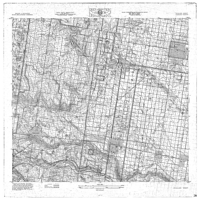

Print $20.00
- Digital $50.00
Rio Grande, McAllen Sheet
1937
Size 37.4 x 37.5 inches
Map/Doc 65118
Castro County Rolled Sketch 8


Print $20.00
- Digital $50.00
Castro County Rolled Sketch 8
Size 34.1 x 28.8 inches
Map/Doc 5418
Hays County Rolled Sketch 33
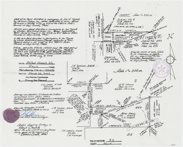

Print $20.00
- Digital $50.00
Hays County Rolled Sketch 33
Size 15.4 x 19.1 inches
Map/Doc 89012
Van Zandt County Sketch File 33
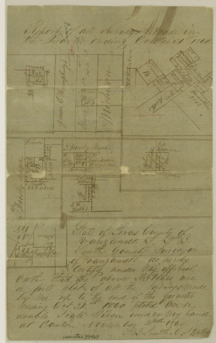

Print $8.00
- Digital $50.00
Van Zandt County Sketch File 33
1860
Size 12.4 x 7.8 inches
Map/Doc 39469
Pecos County Sketch File 113
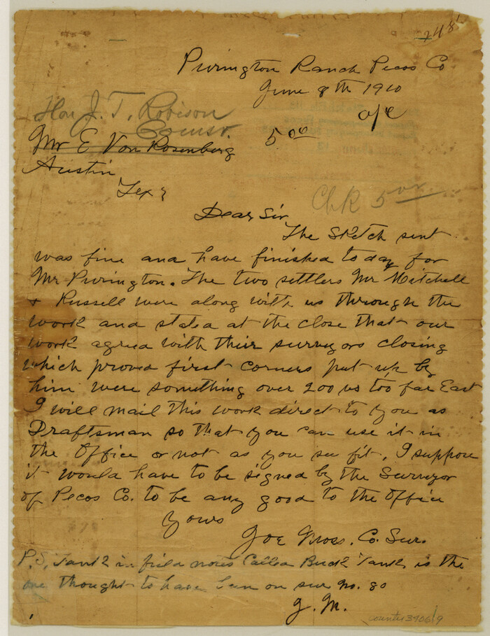

Print $10.00
- Digital $50.00
Pecos County Sketch File 113
Size 11.3 x 8.7 inches
Map/Doc 34069
Wharton County Working Sketch 20


Print $20.00
- Digital $50.00
Wharton County Working Sketch 20
1938
Size 39.1 x 42.2 inches
Map/Doc 72484
Hartley County Sketch File 16
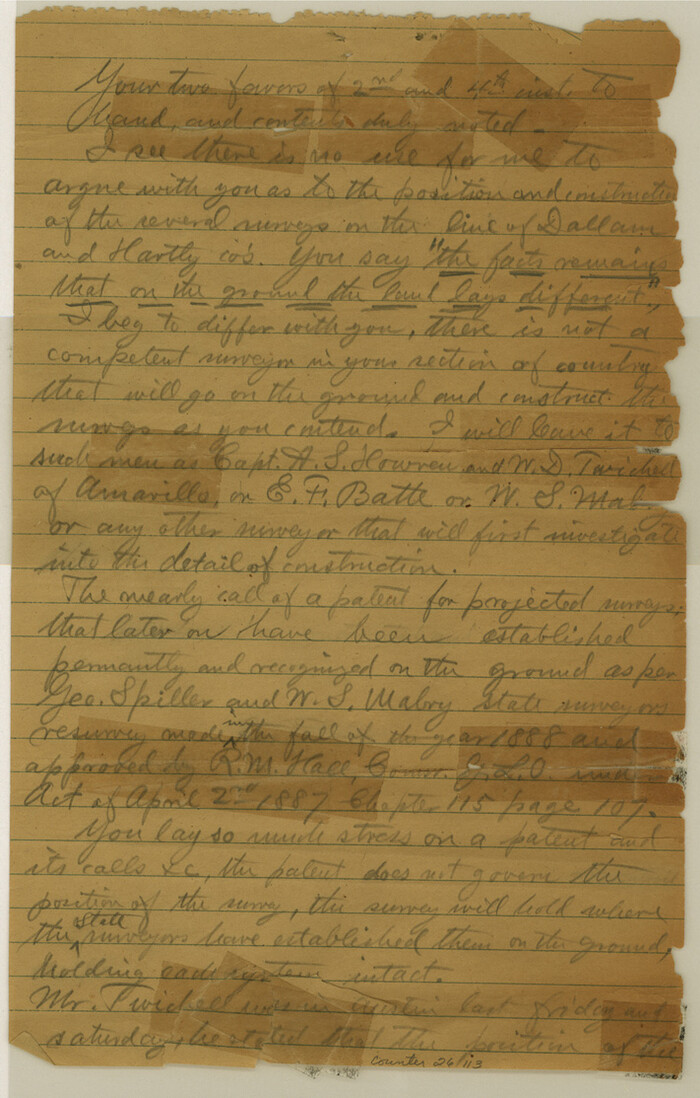

Print $4.00
- Digital $50.00
Hartley County Sketch File 16
Size 11.1 x 7.1 inches
Map/Doc 26113
Castro County Sketch File 4f
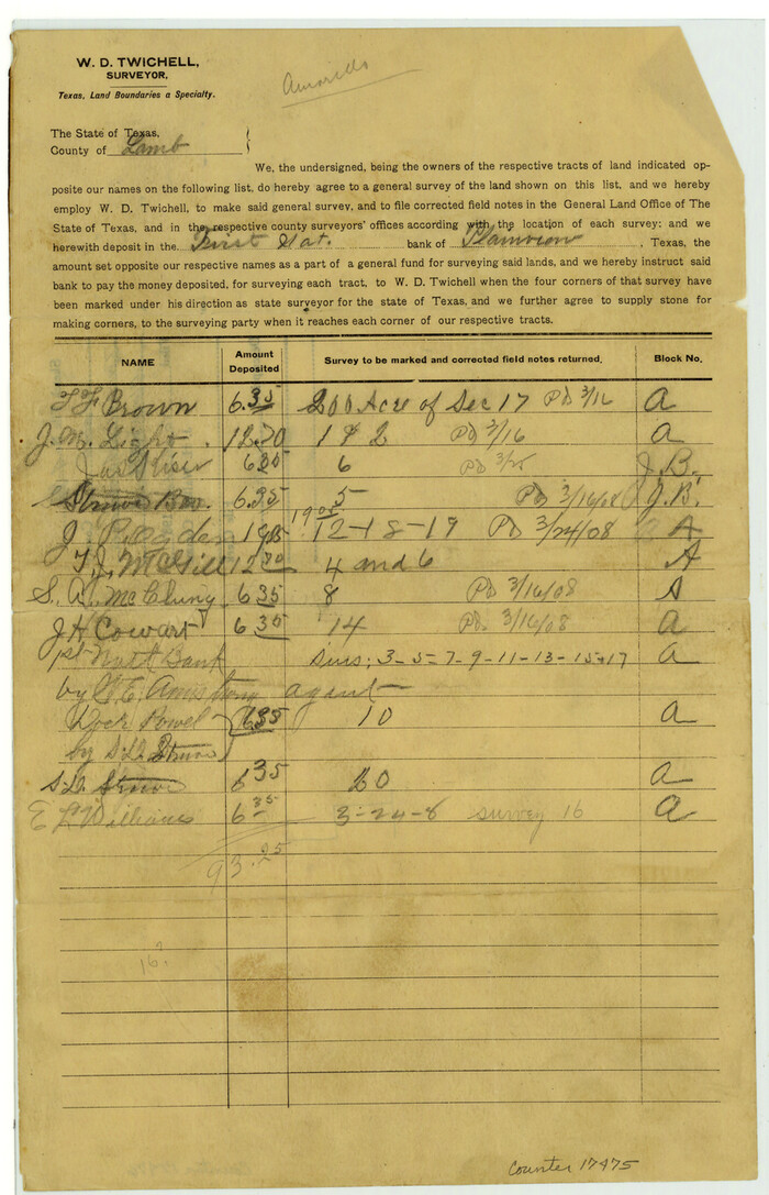

Print $4.00
- Digital $50.00
Castro County Sketch File 4f
Size 13.8 x 8.9 inches
Map/Doc 17475
Hays County Rolled Sketch 30
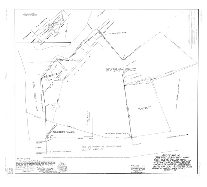

Print $20.00
- Digital $50.00
Hays County Rolled Sketch 30
1966
Size 33.1 x 36.6 inches
Map/Doc 9150
You may also like
Old Miscellaneous File 17
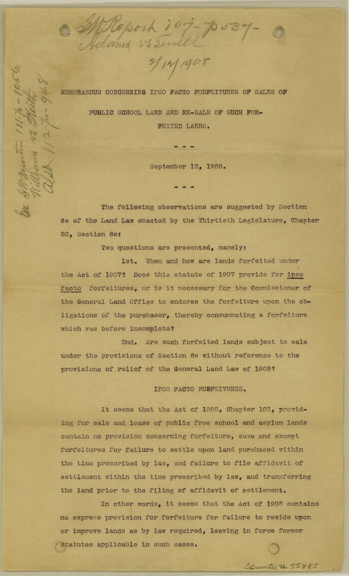

Print $24.00
- Digital $50.00
Old Miscellaneous File 17
1908
Size 14.2 x 8.6 inches
Map/Doc 75485
Flight Mission No. CGI-3N, Frame 126, Cameron County
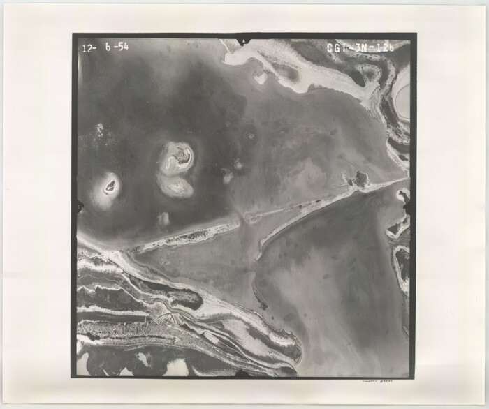

Print $20.00
- Digital $50.00
Flight Mission No. CGI-3N, Frame 126, Cameron County
1954
Size 18.5 x 22.1 inches
Map/Doc 84599
Rand, McNally Official 1922 Auto Trails Map, District Number 18
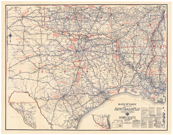

Print $20.00
- Digital $50.00
Rand, McNally Official 1922 Auto Trails Map, District Number 18
1922
Size 27.1 x 34.7 inches
Map/Doc 95887
DeWitt County
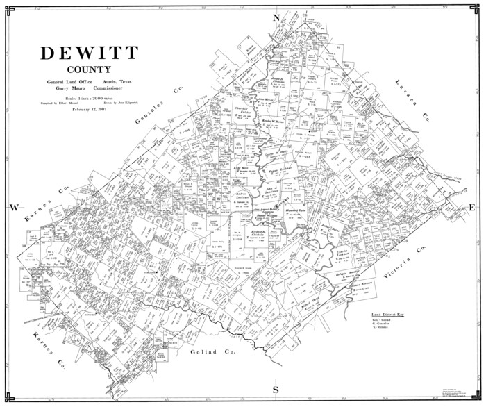

Print $40.00
- Digital $50.00
DeWitt County
1987
Size 41.4 x 49.9 inches
Map/Doc 77263
Leon County Rolled Sketch 14
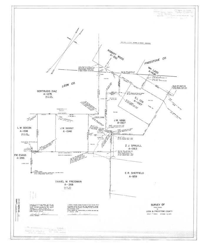

Print $20.00
- Digital $50.00
Leon County Rolled Sketch 14
1976
Size 33.4 x 27.9 inches
Map/Doc 9432
Newton County Rolled Sketch 25
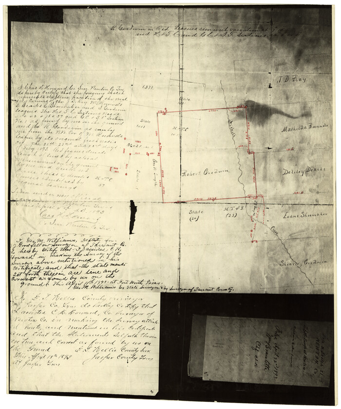

Print $20.00
- Digital $50.00
Newton County Rolled Sketch 25
1893
Size 22.4 x 18.7 inches
Map/Doc 6853
Armstrong County Sketch File 8


Print $8.00
- Digital $50.00
Armstrong County Sketch File 8
Size 14.2 x 8.8 inches
Map/Doc 13705
Montgomery County Rolled Sketch 48
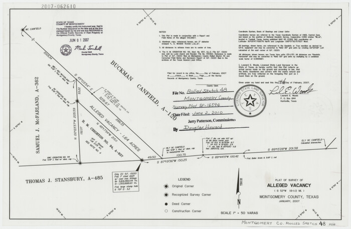

Print $20.00
- Digital $50.00
Montgomery County Rolled Sketch 48
2007
Size 11.2 x 17.2 inches
Map/Doc 89278
[Northwest Quarter of County]
![91077, [Northwest Quarter of County], Twichell Survey Records](https://historictexasmaps.com/wmedia_w700/maps/91077-1.tif.jpg)
![91077, [Northwest Quarter of County], Twichell Survey Records](https://historictexasmaps.com/wmedia_w700/maps/91077-1.tif.jpg)
Print $20.00
- Digital $50.00
[Northwest Quarter of County]
1914
Size 18.6 x 25.7 inches
Map/Doc 91077
Webb County Sketch File 48
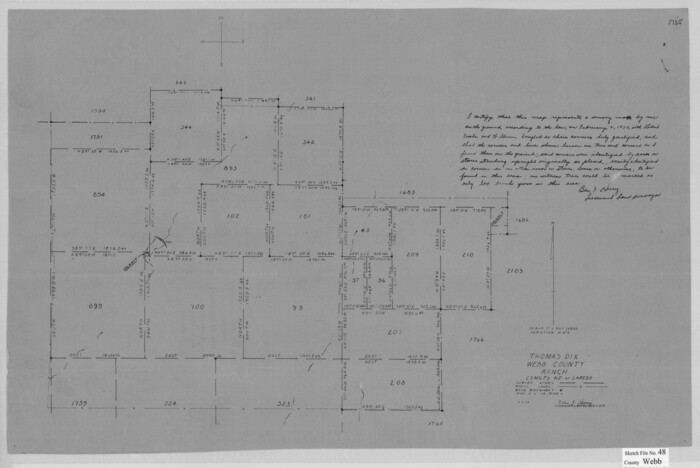

Print $20.00
- Digital $50.00
Webb County Sketch File 48
1939
Size 17.9 x 26.7 inches
Map/Doc 12646
Marion County Sketch File 12
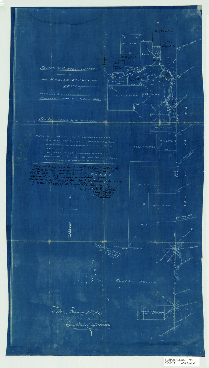

Print $20.00
- Digital $50.00
Marion County Sketch File 12
1912
Size 25.1 x 14.2 inches
Map/Doc 12022
Fort Bend County Working Sketch Graphic Index
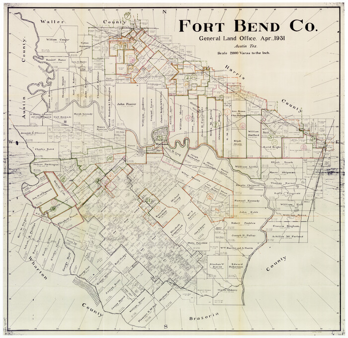

Print $20.00
- Digital $50.00
Fort Bend County Working Sketch Graphic Index
1931
Size 40.7 x 41.9 inches
Map/Doc 76545
![65654, [Sketch for Mineral Application 16777], General Map Collection](https://historictexasmaps.com/wmedia_w1800h1800/maps/65654-1.tif.jpg)