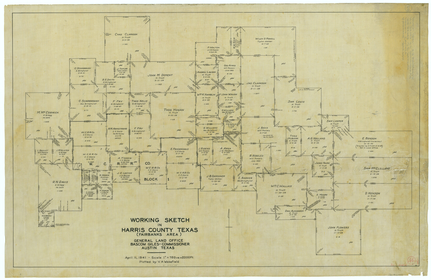
Harris County Working Sketch 44
-
Map/Doc
65936
-
Collection
General Map Collection
-
Object Dates
4/11/1941 (Creation Date)
-
People and Organizations
V.A. Wakefield (Draftsman)
-
Counties
Harris
-
Subjects
Surveying Working Sketch
-
Height x Width
24.9 x 38.3 inches
63.3 x 97.3 cm
-
Scale
1" = 720 varas
Part of: General Map Collection

Shelby County Rolled Sketch 9

Print $20.00
- Digital $50.00
Shelby County Rolled Sketch 9
Size 23.0 x 19.1 inches
Map/Doc 7777
Montague County Boundary File 2a

Print $8.00
- Digital $50.00
Montague County Boundary File 2a
Size 13.0 x 8.3 inches
Map/Doc 57410
Moore County Sketch File 2

Print $36.00
- Digital $50.00
Moore County Sketch File 2
Size 14.2 x 8.6 inches
Map/Doc 31929
Representation of surveys on the waters of the Paluxy and Bosque in the crosstimbers in Milam District

Print $2.00
- Digital $50.00
Representation of surveys on the waters of the Paluxy and Bosque in the crosstimbers in Milam District
1847
Size 13.9 x 8.0 inches
Map/Doc 258
Pecos County Working Sketch 111

Print $40.00
- Digital $50.00
Pecos County Working Sketch 111
1972
Size 32.9 x 69.6 inches
Map/Doc 71584
Hemphill County Working Sketch 6

Print $20.00
- Digital $50.00
Hemphill County Working Sketch 6
1950
Size 20.3 x 27.0 inches
Map/Doc 66101
Gregg County Working Sketch 20

Print $20.00
- Digital $50.00
Gregg County Working Sketch 20
1962
Size 34.3 x 44.4 inches
Map/Doc 63287
Crockett County Rolled Sketch 53

Print $20.00
- Digital $50.00
Crockett County Rolled Sketch 53
1942
Size 17.5 x 36.8 inches
Map/Doc 5598
Hansford County Working Sketch 9

Print $20.00
- Digital $50.00
Hansford County Working Sketch 9
1984
Size 31.5 x 38.2 inches
Map/Doc 63381
Limestone County Working Sketch 9

Print $20.00
- Digital $50.00
Limestone County Working Sketch 9
1922
Size 18.5 x 19.2 inches
Map/Doc 70559
Terrell County Working Sketch 40

Print $20.00
- Digital $50.00
Terrell County Working Sketch 40
1956
Size 22.9 x 29.1 inches
Map/Doc 62133
You may also like
[H. & T. C. , Block 47, Sections 26- 38]
![91255, [H. & T. C. , Block 47, Sections 26- 38], Twichell Survey Records](https://historictexasmaps.com/wmedia_w700/maps/91255-1.tif.jpg)
Print $2.00
- Digital $50.00
[H. & T. C. , Block 47, Sections 26- 38]
Size 14.5 x 9.2 inches
Map/Doc 91255
Map and Profile No. 1 from the Red River to the Rio Grande; from explorations and surveys made under the direction of the Hon. Jefferson Davis, Secretary of War by Captain John Pope, Corps. Topl Engrs.

Print $40.00
- Digital $50.00
Map and Profile No. 1 from the Red River to the Rio Grande; from explorations and surveys made under the direction of the Hon. Jefferson Davis, Secretary of War by Captain John Pope, Corps. Topl Engrs.
Size 30.2 x 59.9 inches
Map/Doc 95176
Bandera County Working Sketch 55

Print $20.00
- Digital $50.00
Bandera County Working Sketch 55
1990
Size 34.4 x 42.1 inches
Map/Doc 67651
Dimmit County Boundary File 9

Print $20.00
- Digital $50.00
Dimmit County Boundary File 9
Size 37.2 x 6.9 inches
Map/Doc 52603
Upshur County Working Sketch 15, revised

Print $20.00
- Digital $50.00
Upshur County Working Sketch 15, revised
1996
Size 43.3 x 37.4 inches
Map/Doc 78217
Bell County Sketch File 32

Print $10.00
- Digital $50.00
Bell County Sketch File 32
1905
Size 7.6 x 8.8 inches
Map/Doc 14447
Zapata County

Print $40.00
- Digital $50.00
Zapata County
1935
Size 56.7 x 43.2 inches
Map/Doc 63145
Crosby County School Land, Lamb and Bailey Counties

Print $20.00
- Digital $50.00
Crosby County School Land, Lamb and Bailey Counties
Size 12.4 x 14.9 inches
Map/Doc 90109
Pecos County Sketch File 96

Print $40.00
- Digital $50.00
Pecos County Sketch File 96
1957
Size 22.4 x 8.7 inches
Map/Doc 33998
Interpretative map of wind erodibility. Gaines County, Texas

Interpretative map of wind erodibility. Gaines County, Texas
1986
Size 27.6 x 36.2 inches
Map/Doc 93561
Flight Mission No. DQN-1K, Frame 115, Calhoun County

Print $20.00
- Digital $50.00
Flight Mission No. DQN-1K, Frame 115, Calhoun County
1953
Size 18.6 x 22.3 inches
Map/Doc 84181
Medina County Sketch File 6

Print $22.00
- Digital $50.00
Medina County Sketch File 6
1874
Size 8.4 x 12.0 inches
Map/Doc 31454