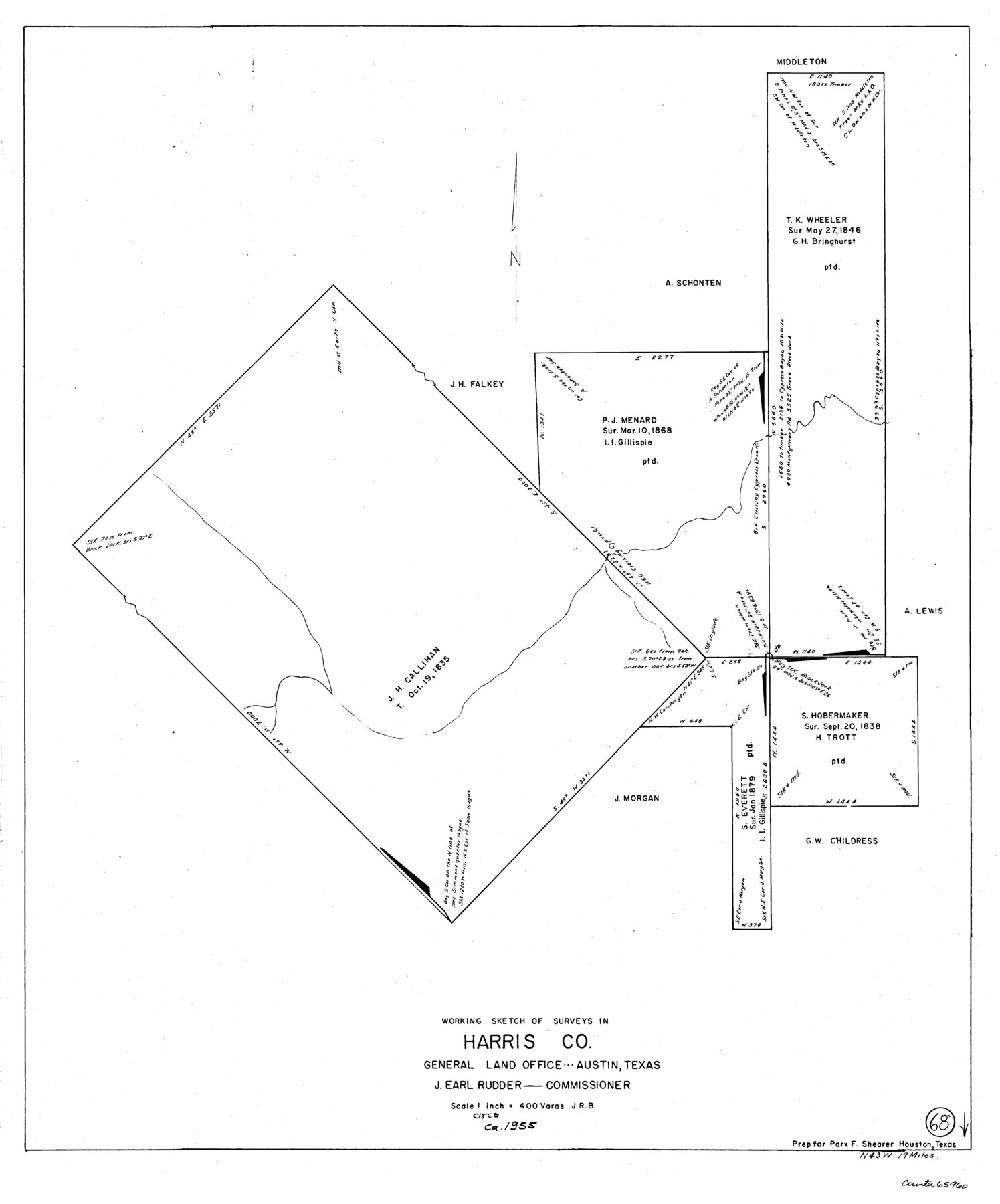
Harris County Working Sketch 68
-
Map/Doc
65960
-
Collection
General Map Collection
-
Object Dates
[1955 ca.] (Creation Date)
-
Counties
Harris
-
Subjects
Surveying Working Sketch
-
Height x Width
29.3 x 24.3 inches
74.4 x 61.7 cm
-
Scale
1" = 400 varas
Part of: General Map Collection
Galveston County Working Sketch 5

Print $20.00
- Digital $50.00
Galveston County Working Sketch 5
1934
Size 41.2 x 41.0 inches
Map/Doc 69342
Lynn County Rolled Sketch 13

Print $20.00
- Digital $50.00
Lynn County Rolled Sketch 13
Size 36.2 x 24.7 inches
Map/Doc 6649
Blanco County Working Sketch 28

Print $20.00
- Digital $50.00
Blanco County Working Sketch 28
1969
Size 33.7 x 37.7 inches
Map/Doc 67388

Young County Sketch File 1

Print $8.00
- Digital $50.00
Young County Sketch File 1
1853
Size 7.9 x 9.7 inches
Map/Doc 40843
Navarro County Sketch File 22

Print $6.00
- Digital $50.00
Navarro County Sketch File 22
1873
Size 10.0 x 8.0 inches
Map/Doc 32352
Knox County Sketch File 7

Print $40.00
- Digital $50.00
Knox County Sketch File 7
1885
Size 32.2 x 19.9 inches
Map/Doc 11955
San Augustine Co.

Print $20.00
- Digital $50.00
San Augustine Co.
1949
Size 45.7 x 28.6 inches
Map/Doc 77414
Harris County Working Sketch 56

Print $20.00
- Digital $50.00
Harris County Working Sketch 56
1950
Size 33.2 x 31.6 inches
Map/Doc 65948
Nueces County Sketch File 18

Print $4.00
- Digital $50.00
Nueces County Sketch File 18
1874
Size 10.2 x 7.2 inches
Map/Doc 32549
Travis County Rolled Sketch 24

Print $20.00
- Digital $50.00
Travis County Rolled Sketch 24
1942
Size 15.3 x 16.1 inches
Map/Doc 8025
Denton County Working Sketch 12

Print $20.00
- Digital $50.00
Denton County Working Sketch 12
1960
Size 29.8 x 17.3 inches
Map/Doc 68617
You may also like
Sterling County Rolled Sketch 21

Print $20.00
- Digital $50.00
Sterling County Rolled Sketch 21
Size 29.6 x 23.8 inches
Map/Doc 7849
Oil and Gas Fields in the State of Texas

Print $40.00
Oil and Gas Fields in the State of Texas
1927
Size 58.2 x 38.1 inches
Map/Doc 76303
Pecos County Rolled Sketch 25B

Print $20.00
- Digital $50.00
Pecos County Rolled Sketch 25B
1892
Size 22.2 x 16.0 inches
Map/Doc 7210
Uvalde County Working Sketch 13

Print $20.00
- Digital $50.00
Uvalde County Working Sketch 13
1943
Size 27.9 x 21.6 inches
Map/Doc 72083
Hartley County

Print $20.00
- Digital $50.00
Hartley County
1882
Size 30.2 x 19.3 inches
Map/Doc 90708
Dimmit County Sketch File 23

Print $38.00
- Digital $50.00
Dimmit County Sketch File 23
1894
Size 10.0 x 11.8 inches
Map/Doc 21133
King County Working Sketch 18-0

Print $40.00
- Digital $50.00
King County Working Sketch 18-0
Size 44.0 x 56.5 inches
Map/Doc 78212
Flight Mission No. DIX-10P, Frame 149, Aransas County

Print $20.00
- Digital $50.00
Flight Mission No. DIX-10P, Frame 149, Aransas County
1956
Size 18.6 x 22.3 inches
Map/Doc 83951
Panola County Working Sketch 30

Print $20.00
- Digital $50.00
Panola County Working Sketch 30
1981
Map/Doc 71439
Yoakum County

Print $20.00
- Digital $50.00
Yoakum County
1902
Size 46.1 x 36.6 inches
Map/Doc 63138
Comal County Sketch File 1

Print $6.00
- Digital $50.00
Comal County Sketch File 1
1846
Size 16.4 x 10.5 inches
Map/Doc 18995
Hall County Sketch File 8

Print $20.00
- Digital $50.00
Hall County Sketch File 8
Size 12.8 x 23.1 inches
Map/Doc 11604