Nueces County Sketch File 18
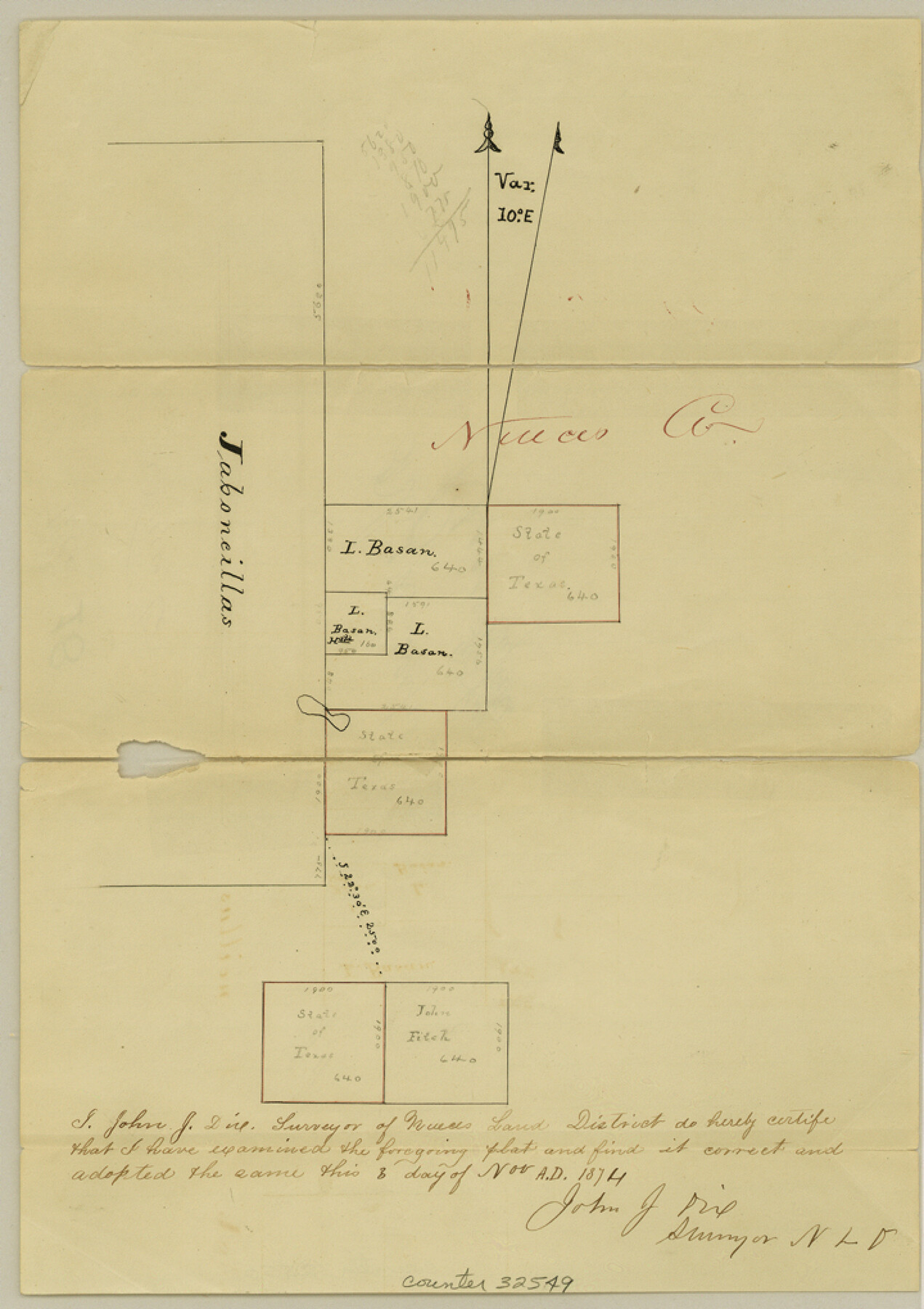
[Sketch of surveys east of the Jaboncillos tract in Kleberg County]
-
Map/Doc
32549
-
Collection
General Map Collection
-
Object Dates
11/8/1874 (Creation Date)
12/26/1874 (File Date)
-
People and Organizations
John J. Dix (Surveyor/Engineer)
-
Counties
Jim Wells Kleberg
-
Subjects
Surveying Sketch File
-
Height x Width
10.2 x 7.2 inches
25.9 x 18.3 cm
-
Medium
paper, manuscript
Part of: General Map Collection
Clay County Sketch File 24a

Print $7.00
- Digital $50.00
Clay County Sketch File 24a
1881
Size 11.0 x 8.7 inches
Map/Doc 18439
Presidio County Rolled Sketch 35

Print $20.00
- Digital $50.00
Presidio County Rolled Sketch 35
Size 44.7 x 32.1 inches
Map/Doc 9774
Presidio County Sketch File 58a

Print $14.00
- Digital $50.00
Presidio County Sketch File 58a
1980
Size 11.2 x 8.8 inches
Map/Doc 34628
Victoria County Rolled Sketch 5

Print $20.00
- Digital $50.00
Victoria County Rolled Sketch 5
1961
Size 27.8 x 43.8 inches
Map/Doc 8151
San Augustine Co.

Print $20.00
- Digital $50.00
San Augustine Co.
1949
Size 47.9 x 31.2 inches
Map/Doc 73281

McLennan County Working Sketch 9

Print $20.00
- Digital $50.00
McLennan County Working Sketch 9
2008
Size 23.0 x 28.9 inches
Map/Doc 88768
Bandera County Sketch File 19

Print $40.00
- Digital $50.00
Bandera County Sketch File 19
Size 15.9 x 18.9 inches
Map/Doc 10893
Amistad International Reservoir on Rio Grande 92

Print $20.00
- Digital $50.00
Amistad International Reservoir on Rio Grande 92
1950
Size 28.5 x 40.6 inches
Map/Doc 75522
Brazoria County NRC Article 33.136 Sketch 9

Print $24.00
- Digital $50.00
Brazoria County NRC Article 33.136 Sketch 9
2007
Size 24.2 x 34.1 inches
Map/Doc 87929
Map of the Lower Rio Grande, accompanying report of the special committee on Texas frontier troubles, appointed by the House of Representatives, Jan. 6, 1876

Print $20.00
- Digital $50.00
Map of the Lower Rio Grande, accompanying report of the special committee on Texas frontier troubles, appointed by the House of Representatives, Jan. 6, 1876
1876
Size 12.1 x 17.6 inches
Map/Doc 95406
Potter County Boundary File 2

Print $30.00
- Digital $50.00
Potter County Boundary File 2
Size 9.0 x 6.0 inches
Map/Doc 57952
You may also like
Gregg County Rolled Sketch 26

Print $40.00
- Digital $50.00
Gregg County Rolled Sketch 26
1937
Size 25.8 x 129.0 inches
Map/Doc 9077
Travis County Appraisal District Plat Map 2_1804

Print $20.00
- Digital $50.00
Travis County Appraisal District Plat Map 2_1804
Size 21.6 x 26.5 inches
Map/Doc 94203
PSL Field Notes for Blocks 58, 59, 60 1/2, 61 1/2, 62 1/2, 63 1/2, 64 1/2, 65 1/2, 66 1/2, 67 1/2, 68 1/2, 69 1/2, 70, 71, and 72 in Hudspeth County

PSL Field Notes for Blocks 58, 59, 60 1/2, 61 1/2, 62 1/2, 63 1/2, 64 1/2, 65 1/2, 66 1/2, 67 1/2, 68 1/2, 69 1/2, 70, 71, and 72 in Hudspeth County
Map/Doc 81662
Jeff Davis County Working Sketch Graphic Index - west part

Print $20.00
- Digital $50.00
Jeff Davis County Working Sketch Graphic Index - west part
1977
Size 34.0 x 45.3 inches
Map/Doc 76594
Map of the United States and Canada

Print $2.00
- Digital $50.00
Map of the United States and Canada
1853
Size 6.2 x 4.2 inches
Map/Doc 93919
Dimmit County

Print $40.00
- Digital $50.00
Dimmit County
1916
Size 40.6 x 48.0 inches
Map/Doc 78341
Map Showing Section Lines and Corporation Lines of the City of Lubbock

Print $20.00
- Digital $50.00
Map Showing Section Lines and Corporation Lines of the City of Lubbock
1921
Size 27.5 x 25.2 inches
Map/Doc 92749
Pecos County Sketch File 35

Print $4.00
- Digital $50.00
Pecos County Sketch File 35
Size 8.9 x 15.3 inches
Map/Doc 33716
Flight Mission No. DQO-8K, Frame 44, Galveston County

Print $20.00
- Digital $50.00
Flight Mission No. DQO-8K, Frame 44, Galveston County
1952
Size 18.5 x 22.3 inches
Map/Doc 85151
Wise County Working Sketch 28

Print $40.00
- Digital $50.00
Wise County Working Sketch 28
1996
Size 37.5 x 48.8 inches
Map/Doc 72642
Leon County Working Sketch 24

Print $20.00
- Digital $50.00
Leon County Working Sketch 24
1967
Size 23.3 x 29.0 inches
Map/Doc 70423
Flight Mission No. DQN-1K, Frame 43, Calhoun County

Print $20.00
- Digital $50.00
Flight Mission No. DQN-1K, Frame 43, Calhoun County
1953
Size 18.6 x 22.3 inches
Map/Doc 84143