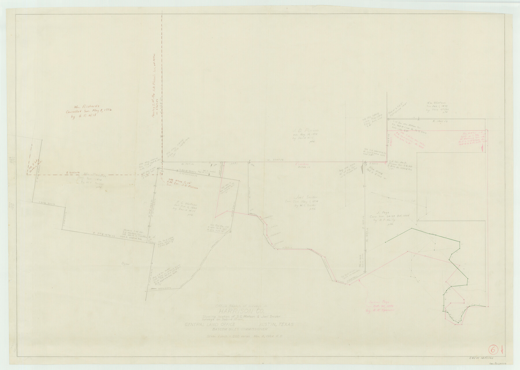
Harrison County Working Sketch 6
-
Map/Doc
66026
-
Collection
General Map Collection
-
Object Dates
11/4/1954 (Creation Date)
-
People and Organizations
Roy Buckholts (Draftsman)
-
Counties
Harrison
-
Subjects
Surveying Working Sketch
-
Height x Width
27.6 x 38.7 inches
70.1 x 98.3 cm
-
Scale
1" = 200 varas
Part of: General Map Collection
Robertson County Sketch File 7

Print $20.00
Robertson County Sketch File 7
1873
Size 16.3 x 24.0 inches
Map/Doc 12250
Uvalde County Sketch File 33

Print $56.00
- Digital $50.00
Uvalde County Sketch File 33
2017
Size 11.0 x 8.5 inches
Map/Doc 95251

Harrison County Boundary File 41 (10)

Print $10.00
- Digital $50.00
Harrison County Boundary File 41 (10)
Size 7.1 x 3.4 inches
Map/Doc 54418
Flight Mission No. CRK-3P, Frame 68, Refugio County

Print $20.00
- Digital $50.00
Flight Mission No. CRK-3P, Frame 68, Refugio County
1956
Size 18.7 x 22.5 inches
Map/Doc 86910
Franklin County Working Sketch 3

Print $20.00
- Digital $50.00
Franklin County Working Sketch 3
1956
Size 19.5 x 16.1 inches
Map/Doc 69241
Treaty to Resolve Pending Boundary Differences and Maintain the Rio Grande and Colorado River as the International Boundary Between the United States of American and Mexico

Print $4.00
- Digital $50.00
Treaty to Resolve Pending Boundary Differences and Maintain the Rio Grande and Colorado River as the International Boundary Between the United States of American and Mexico
1970
Size 12.3 x 19.0 inches
Map/Doc 83098
Plan of Brooklyn

Print $20.00
- Digital $50.00
Plan of Brooklyn
1909
Size 42.7 x 31.5 inches
Map/Doc 2192
Calhoun County Rolled Sketch 26

Print $40.00
- Digital $50.00
Calhoun County Rolled Sketch 26
1941
Size 25.5 x 112.1 inches
Map/Doc 8556
Yoakum County Sketch File 8

Print $20.00
- Digital $50.00
Yoakum County Sketch File 8
Size 25.6 x 29.3 inches
Map/Doc 12705
Map of Sabine County

Print $20.00
- Digital $50.00
Map of Sabine County
1896
Size 26.6 x 19.3 inches
Map/Doc 4010
Ochiltree County Sketch File 7

Print $20.00
- Digital $50.00
Ochiltree County Sketch File 7
Size 14.5 x 26.1 inches
Map/Doc 42204
You may also like
Guadalupe County Working Sketch 7

Print $20.00
- Digital $50.00
Guadalupe County Working Sketch 7
1954
Size 20.1 x 20.0 inches
Map/Doc 63316
Polk County Working Sketch 20

Print $40.00
- Digital $50.00
Polk County Working Sketch 20
1952
Size 42.2 x 51.7 inches
Map/Doc 71635
Brazoria County Sketch File 24

Print $6.00
- Digital $50.00
Brazoria County Sketch File 24
1868
Size 11.3 x 10.4 inches
Map/Doc 15022
Atascosa County Working Sketch 15

Print $40.00
- Digital $50.00
Atascosa County Working Sketch 15
1935
Size 43.8 x 53.6 inches
Map/Doc 67211
Brewster County Rolled Sketch 128

Print $20.00
- Digital $50.00
Brewster County Rolled Sketch 128
1978
Size 24.9 x 28.0 inches
Map/Doc 5300
Map Showing the position of surveys 1 & 2, B.S. & F. Cert 1/356

Print $20.00
- Digital $50.00
Map Showing the position of surveys 1 & 2, B.S. & F. Cert 1/356
1915
Size 22.0 x 11.1 inches
Map/Doc 10768
Carte d'Amerique, Divisee en ses Principaux Pays, Dressee sur les Memoires les plus recents, et sur differents Voyages, et assujettie aux observations Astronomiques de Mrs. de l'Academie Royale des Sciences

Print $40.00
- Digital $50.00
Carte d'Amerique, Divisee en ses Principaux Pays, Dressee sur les Memoires les plus recents, et sur differents Voyages, et assujettie aux observations Astronomiques de Mrs. de l'Academie Royale des Sciences
1787
Size 43.5 x 51.3 inches
Map/Doc 96430
Hudspeth County Sketch File 2

Print $10.00
- Digital $50.00
Hudspeth County Sketch File 2
1900
Size 13.4 x 8.6 inches
Map/Doc 26884

Flight Mission No. DQN-4K, Frame 4, Calhoun County

Print $20.00
- Digital $50.00
Flight Mission No. DQN-4K, Frame 4, Calhoun County
1953
Size 18.8 x 22.3 inches
Map/Doc 84369
Dickens County

Print $20.00
- Digital $50.00
Dickens County
1884
Size 20.9 x 19.3 inches
Map/Doc 3487
Gaines County Rolled Sketch 6

Print $20.00
- Digital $50.00
Gaines County Rolled Sketch 6
1913
Size 30.5 x 45.4 inches
Map/Doc 5927