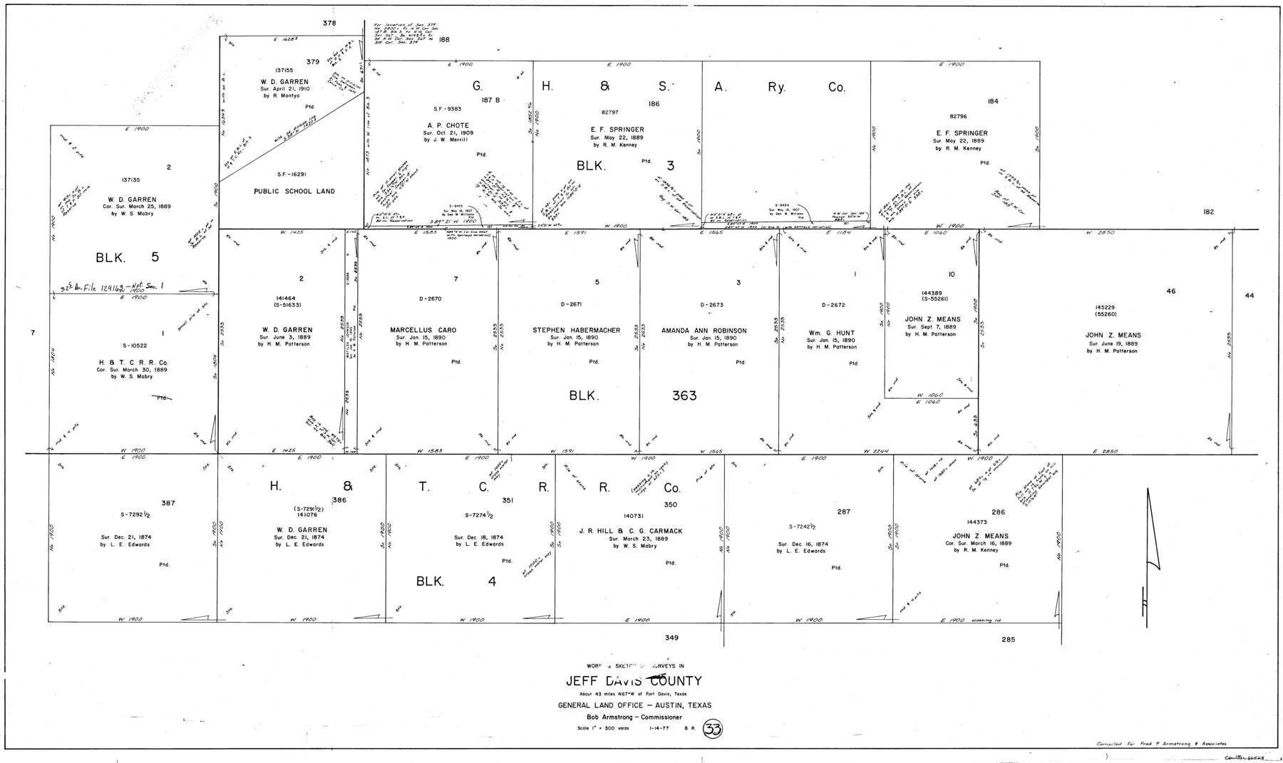
Jeff Davis County Working Sketch 33
-
Map/Doc
66528
-
Collection
General Map Collection
-
Object Dates
1/14/1977 (Creation Date)
-
People and Organizations
Beverly Robison (Draftsman)
-
Counties
Jeff Davis
-
Subjects
Surveying Working Sketch
-
Height x Width
28.8 x 48.3 inches
73.2 x 122.7 cm
-
Scale
1" = 300 varas
Part of: General Map Collection
The United States of Mexico

Print $20.00
- Digital $50.00
The United States of Mexico
1832
Size 15.4 x 12.8 inches
Map/Doc 93952
Hunt County Sketch File 21

Print $4.00
- Digital $50.00
Hunt County Sketch File 21
Size 8.1 x 5.8 inches
Map/Doc 27122
Reeves County Working Sketch 62

Print $20.00
- Digital $50.00
Reeves County Working Sketch 62
1984
Size 29.5 x 35.4 inches
Map/Doc 63505
Johnson County Working Sketch 28

Print $20.00
- Digital $50.00
Johnson County Working Sketch 28
2005
Size 24.0 x 26.0 inches
Map/Doc 84700
Brewster County Sketch File N-24

Print $40.00
- Digital $50.00
Brewster County Sketch File N-24
Size 23.9 x 16.4 inches
Map/Doc 10970
Dickens County Working Sketch 12

Print $20.00
- Digital $50.00
Dickens County Working Sketch 12
1978
Size 28.3 x 28.9 inches
Map/Doc 68660
Wilbarger County Working Sketch 17

Print $20.00
- Digital $50.00
Wilbarger County Working Sketch 17
1957
Size 7.5 x 18.4 inches
Map/Doc 72555
Webb County Sketch File 6-1

Print $6.00
- Digital $50.00
Webb County Sketch File 6-1
1877
Size 9.8 x 12.7 inches
Map/Doc 39737
Flight Mission No. DQO-8K, Frame 44, Galveston County

Print $20.00
- Digital $50.00
Flight Mission No. DQO-8K, Frame 44, Galveston County
1952
Size 18.5 x 22.3 inches
Map/Doc 85151
Map of Wichita County Young Land District, formerly Fannin Land District

Print $20.00
- Digital $50.00
Map of Wichita County Young Land District, formerly Fannin Land District
1859
Size 22.4 x 20.5 inches
Map/Doc 4141
Current Miscellaneous File 49

Print $4.00
- Digital $50.00
Current Miscellaneous File 49
Size 11.2 x 8.8 inches
Map/Doc 74012
Map of Clay Co.

Print $40.00
- Digital $50.00
Map of Clay Co.
1896
Size 51.9 x 31.0 inches
Map/Doc 4785
You may also like
Pecos County Sketch File 87

Print $18.00
- Digital $50.00
Pecos County Sketch File 87
1916
Size 13.3 x 8.9 inches
Map/Doc 33975
[Blocks D, DD Showing Terrain]
![92445, [Blocks D, DD Showing Terrain], Twichell Survey Records](https://historictexasmaps.com/wmedia_w700/maps/92445-1.tif.jpg)
Print $20.00
- Digital $50.00
[Blocks D, DD Showing Terrain]
Size 30.8 x 17.2 inches
Map/Doc 92445
Lipscomb County

Print $20.00
- Digital $50.00
Lipscomb County
1878
Size 18.1 x 16.4 inches
Map/Doc 3816
Frio County Rolled Sketch 8

Print $20.00
- Digital $50.00
Frio County Rolled Sketch 8
1940
Size 19.1 x 36.0 inches
Map/Doc 8901
Map of La Salle County

Print $20.00
- Digital $50.00
Map of La Salle County
1878
Size 29.8 x 24.8 inches
Map/Doc 3798
Burnet County Sketch File 10

Print $4.00
- Digital $50.00
Burnet County Sketch File 10
1848
Size 12.8 x 8.4 inches
Map/Doc 16690
Dawson County Sketch File A1

Print $20.00
- Digital $50.00
Dawson County Sketch File A1
1923
Size 14.8 x 33.4 inches
Map/Doc 11299
Gillespie County Working Sketch 2

Print $20.00
- Digital $50.00
Gillespie County Working Sketch 2
1958
Size 35.9 x 26.0 inches
Map/Doc 63165
Kleberg County Aerial Photograph Index Sheet 1

Print $20.00
- Digital $50.00
Kleberg County Aerial Photograph Index Sheet 1
1956
Size 19.6 x 23.6 inches
Map/Doc 83718
[Sketch showing the Rio Grande with towns and features annotated]
![72897, [Sketch showing the Rio Grande with towns and features annotated], General Map Collection](https://historictexasmaps.com/wmedia_w700/maps/72897.tif.jpg)
Print $20.00
- Digital $50.00
[Sketch showing the Rio Grande with towns and features annotated]
1854
Size 23.7 x 18.4 inches
Map/Doc 72897
Zapata County Working Sketch Graphic Index, Sheet 1 (Sketches 1 to 18)

Print $40.00
- Digital $50.00
Zapata County Working Sketch Graphic Index, Sheet 1 (Sketches 1 to 18)
1935
Size 55.3 x 41.3 inches
Map/Doc 76749
Sketch of Surveys on Peach Point, J. Perry's Property

Print $20.00
- Digital $50.00
Sketch of Surveys on Peach Point, J. Perry's Property
1832
Size 14.0 x 20.6 inches
Map/Doc 219