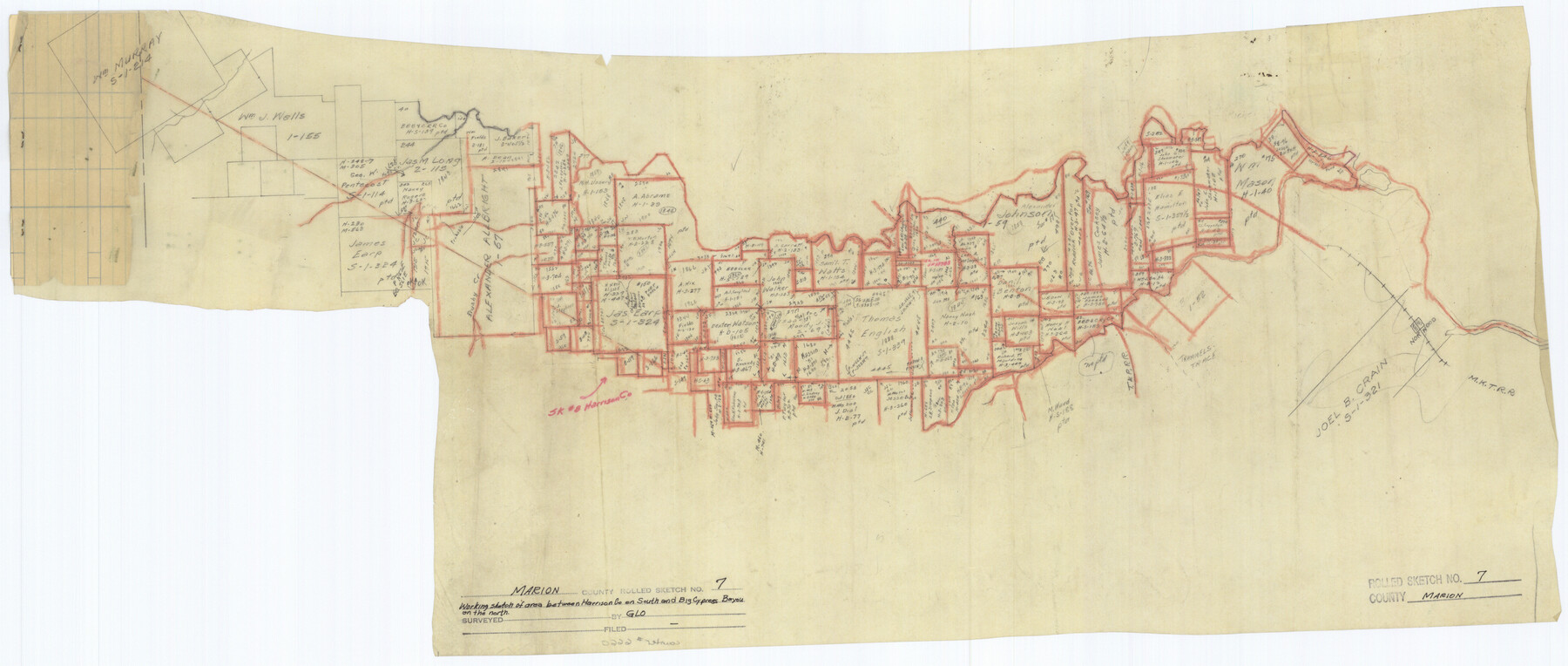
Marion County Rolled Sketch 7
[Working sketch of area between Harrison Co. on the south and Big Cypress Bayou on the north, Marion County, Texas]
-
Map/Doc
6660
-
Collection
General Map Collection
-
Counties
Marion
-
Subjects
Surveying Rolled Sketch
-
Height x Width
13.1 x 30.9 inches
33.3 x 78.5 cm
-
Medium
paper, manuscript
Part of: General Map Collection
Oso Creek, Cabaniss Field (P-2) Sheet

Print $6.00
- Digital $50.00
Oso Creek, Cabaniss Field (P-2) Sheet
1942
Size 36.1 x 25.8 inches
Map/Doc 65097
2016 Official Travel Map, Texas

2016 Official Travel Map, Texas
Size 33.3 x 36.2 inches
Map/Doc 94297
Flight Mission No. DAG-26K, Frame 58, Matagorda County

Print $20.00
- Digital $50.00
Flight Mission No. DAG-26K, Frame 58, Matagorda County
1953
Size 18.5 x 16.1 inches
Map/Doc 86578
Fractional Township No. 8 South Range No. 19 East of the Indian Meridian, Indian Territory

Print $20.00
- Digital $50.00
Fractional Township No. 8 South Range No. 19 East of the Indian Meridian, Indian Territory
1897
Size 19.1 x 24.2 inches
Map/Doc 75234
[Maps of surveys in Reeves & Culberson Cos]
![61138, [Maps of surveys in Reeves & Culberson Cos], General Map Collection](https://historictexasmaps.com/wmedia_w700/maps/61138.tif.jpg)
Print $20.00
- Digital $50.00
[Maps of surveys in Reeves & Culberson Cos]
1937
Size 30.6 x 25.0 inches
Map/Doc 61138
Map of Copano, St. Charles, Aransas & Red Fish Bays in Aransas & Nueces Counties showing subdivision thereof for mineral development

Print $40.00
- Digital $50.00
Map of Copano, St. Charles, Aransas & Red Fish Bays in Aransas & Nueces Counties showing subdivision thereof for mineral development
Size 57.9 x 42.7 inches
Map/Doc 65805
Tarrant County Working Sketch 13

Print $20.00
- Digital $50.00
Tarrant County Working Sketch 13
1987
Size 22.4 x 30.8 inches
Map/Doc 62430
Duval County Rolled Sketch 41

Print $20.00
- Digital $50.00
Duval County Rolled Sketch 41
1966
Size 23.3 x 21.1 inches
Map/Doc 5758
Stonewall County Working Sketch 28

Print $20.00
- Digital $50.00
Stonewall County Working Sketch 28
1976
Size 34.5 x 39.2 inches
Map/Doc 62335
Traced from Genl. Arista's map captured by the American Army under Genl. Taylor at Resaca de la Palma 9th May '46 and presented to James K. Polk, President U. States

Print $20.00
- Digital $50.00
Traced from Genl. Arista's map captured by the American Army under Genl. Taylor at Resaca de la Palma 9th May '46 and presented to James K. Polk, President U. States
1846
Size 18.2 x 27.3 inches
Map/Doc 73060
Topographisch-geognostische Karte von Texas mit Zugrundelegung der geographischen Karte v. Wilson nach eigenen Beobachtungen bearbeitet von Dr. Ferd. Roemer

Print $20.00
- Digital $50.00
Topographisch-geognostische Karte von Texas mit Zugrundelegung der geographischen Karte v. Wilson nach eigenen Beobachtungen bearbeitet von Dr. Ferd. Roemer
1849
Size 23.5 x 21.0 inches
Map/Doc 96523
Flight Mission No. CRE-1R, Frame 65, Jackson County

Print $20.00
- Digital $50.00
Flight Mission No. CRE-1R, Frame 65, Jackson County
1956
Size 18.6 x 22.3 inches
Map/Doc 85328
You may also like
General Highway Map, Bexar County, Texas

Print $20.00
General Highway Map, Bexar County, Texas
1940
Size 18.4 x 25.1 inches
Map/Doc 79016
Nueces County Rolled Sketch 129

Print $20.00
- Digital $50.00
Nueces County Rolled Sketch 129
1998
Size 18.1 x 24.5 inches
Map/Doc 7164
San Saba County Sketch File 6

Print $6.00
- Digital $50.00
San Saba County Sketch File 6
1881
Size 10.9 x 8.4 inches
Map/Doc 36414
Flight Mission No. DQO-2K, Frame 98, Galveston County

Print $20.00
- Digital $50.00
Flight Mission No. DQO-2K, Frame 98, Galveston County
1952
Size 18.9 x 22.4 inches
Map/Doc 85025
Borden County Sketch File 2

Print $40.00
- Digital $50.00
Borden County Sketch File 2
Size 19.4 x 10.3 inches
Map/Doc 10932
Walker County

Print $20.00
- Digital $50.00
Walker County
1944
Size 40.4 x 34.4 inches
Map/Doc 77448
Galveston County Sketch File 28

Print $42.00
- Digital $50.00
Galveston County Sketch File 28
1913
Size 22.2 x 5.4 inches
Map/Doc 23410
Flight Mission No. DQN-1K, Frame 34, Calhoun County

Print $20.00
- Digital $50.00
Flight Mission No. DQN-1K, Frame 34, Calhoun County
1953
Size 18.5 x 22.2 inches
Map/Doc 84139
Reagan County Working Sketch 46a

Print $20.00
- Digital $50.00
Reagan County Working Sketch 46a
1970
Size 34.5 x 30.4 inches
Map/Doc 71888
Flight Mission No. DQN-1K, Frame 136, Calhoun County

Print $20.00
- Digital $50.00
Flight Mission No. DQN-1K, Frame 136, Calhoun County
1953
Size 18.5 x 22.3 inches
Map/Doc 84199
Webb County Working Sketch 5

Print $20.00
- Digital $50.00
Webb County Working Sketch 5
1909
Size 20.1 x 15.4 inches
Map/Doc 72370