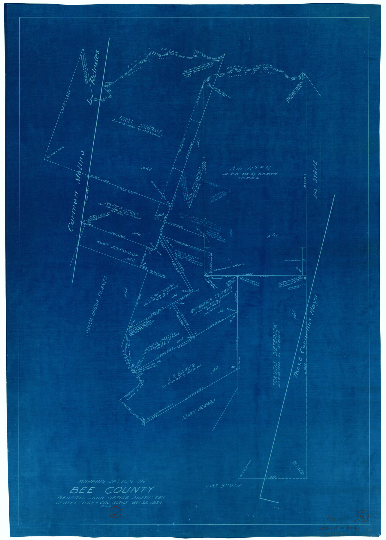
Bee County Working Sketch 6
-
Map/Doc
67256
-
Collection
General Map Collection
-
Object Dates
5/25/1934 (Creation Date)
-
People and Organizations
A. Clark (Draftsman)
-
Counties
Bee
-
Subjects
Surveying Working Sketch
-
Height x Width
33.8 x 24.1 inches
85.9 x 61.2 cm
-
Scale
1" = 600 varas
-
Comments
Surveys located about 11 miles North 60 degrees East of Beeville, Texas.
Part of: General Map Collection
Brown County Working Sketch 20

Print $20.00
- Digital $50.00
Brown County Working Sketch 20
2011
Size 32.8 x 34.8 inches
Map/Doc 89999
Winkler County Sketch File 14

Print $20.00
- Digital $50.00
Winkler County Sketch File 14
Size 29.4 x 24.3 inches
Map/Doc 12698
Montgomery County Working Sketch 14

Print $20.00
- Digital $50.00
Montgomery County Working Sketch 14
1934
Size 18.5 x 20.1 inches
Map/Doc 71121
Webb County Working Sketch 52

Print $20.00
- Digital $50.00
Webb County Working Sketch 52
1951
Size 30.8 x 37.3 inches
Map/Doc 72418
Tarrant County

Print $40.00
- Digital $50.00
Tarrant County
1942
Size 48.3 x 38.0 inches
Map/Doc 95649
Flight Mission No. DQN-2K, Frame 49, Calhoun County

Print $20.00
- Digital $50.00
Flight Mission No. DQN-2K, Frame 49, Calhoun County
1953
Size 17.3 x 18.8 inches
Map/Doc 84254
Panola County Sketch File 27

Print $8.00
- Digital $50.00
Panola County Sketch File 27
1850
Size 5.4 x 7.7 inches
Map/Doc 33498
Bosque County Boundary File 1

Print $34.00
- Digital $50.00
Bosque County Boundary File 1
Size 10.7 x 8.2 inches
Map/Doc 50672
Milam County Boundary File 5

Print $18.00
- Digital $50.00
Milam County Boundary File 5
Size 8.9 x 9.7 inches
Map/Doc 57223
Flight Mission No. DAG-28K, Frame 30, Matagorda County

Print $20.00
- Digital $50.00
Flight Mission No. DAG-28K, Frame 30, Matagorda County
1953
Size 16.1 x 16.1 inches
Map/Doc 86598
Pecos County Rolled Sketch 142

Print $20.00
- Digital $50.00
Pecos County Rolled Sketch 142
Size 26.9 x 41.9 inches
Map/Doc 7276
Van Zandt County Working Sketch 1

Print $20.00
- Digital $50.00
Van Zandt County Working Sketch 1
1946
Size 23.7 x 30.0 inches
Map/Doc 72250
You may also like
Drum, Oyster and Bastrop Bays and Vicinity; Brazoria County, showing Subdivision for Mineral Development

Print $20.00
- Digital $50.00
Drum, Oyster and Bastrop Bays and Vicinity; Brazoria County, showing Subdivision for Mineral Development
1949
Size 35.4 x 45.4 inches
Map/Doc 1908
General Highway Map, Kenedy County, Texas

Print $20.00
General Highway Map, Kenedy County, Texas
1961
Size 18.0 x 24.6 inches
Map/Doc 79446
Reagan County Rolled Sketch 30

Print $20.00
- Digital $50.00
Reagan County Rolled Sketch 30
Size 32.7 x 28.5 inches
Map/Doc 7446
Seagraves Cemetery, Gaines County, Texas

Print $20.00
- Digital $50.00
Seagraves Cemetery, Gaines County, Texas
Size 23.2 x 19.2 inches
Map/Doc 92685
Baylor County Rolled Sketch 9

Print $20.00
- Digital $50.00
Baylor County Rolled Sketch 9
1892
Size 18.2 x 26.1 inches
Map/Doc 5125
Reagan County Rolled Sketch 9

Print $20.00
- Digital $50.00
Reagan County Rolled Sketch 9
1937
Size 29.7 x 30.9 inches
Map/Doc 7437
General Highway Map, Comanche County, Texas

Print $20.00
General Highway Map, Comanche County, Texas
1940
Size 25.3 x 18.4 inches
Map/Doc 79056
Edwards County Rolled Sketch 31

Print $20.00
- Digital $50.00
Edwards County Rolled Sketch 31
1982
Size 30.5 x 39.4 inches
Map/Doc 8849
Duval County Working Sketch 4

Print $20.00
- Digital $50.00
Duval County Working Sketch 4
1928
Size 25.8 x 24.9 inches
Map/Doc 76445
Karnes County Sketch File 14

Print $6.00
- Digital $50.00
Karnes County Sketch File 14
1897
Size 9.7 x 6.2 inches
Map/Doc 28615
McMullen County Rolled Sketch 17

Print $40.00
- Digital $50.00
McMullen County Rolled Sketch 17
1950
Map/Doc 9501
Upton County Sketch File 13

Print $20.00
- Digital $50.00
Upton County Sketch File 13
1926
Size 34.3 x 37.3 inches
Map/Doc 10414