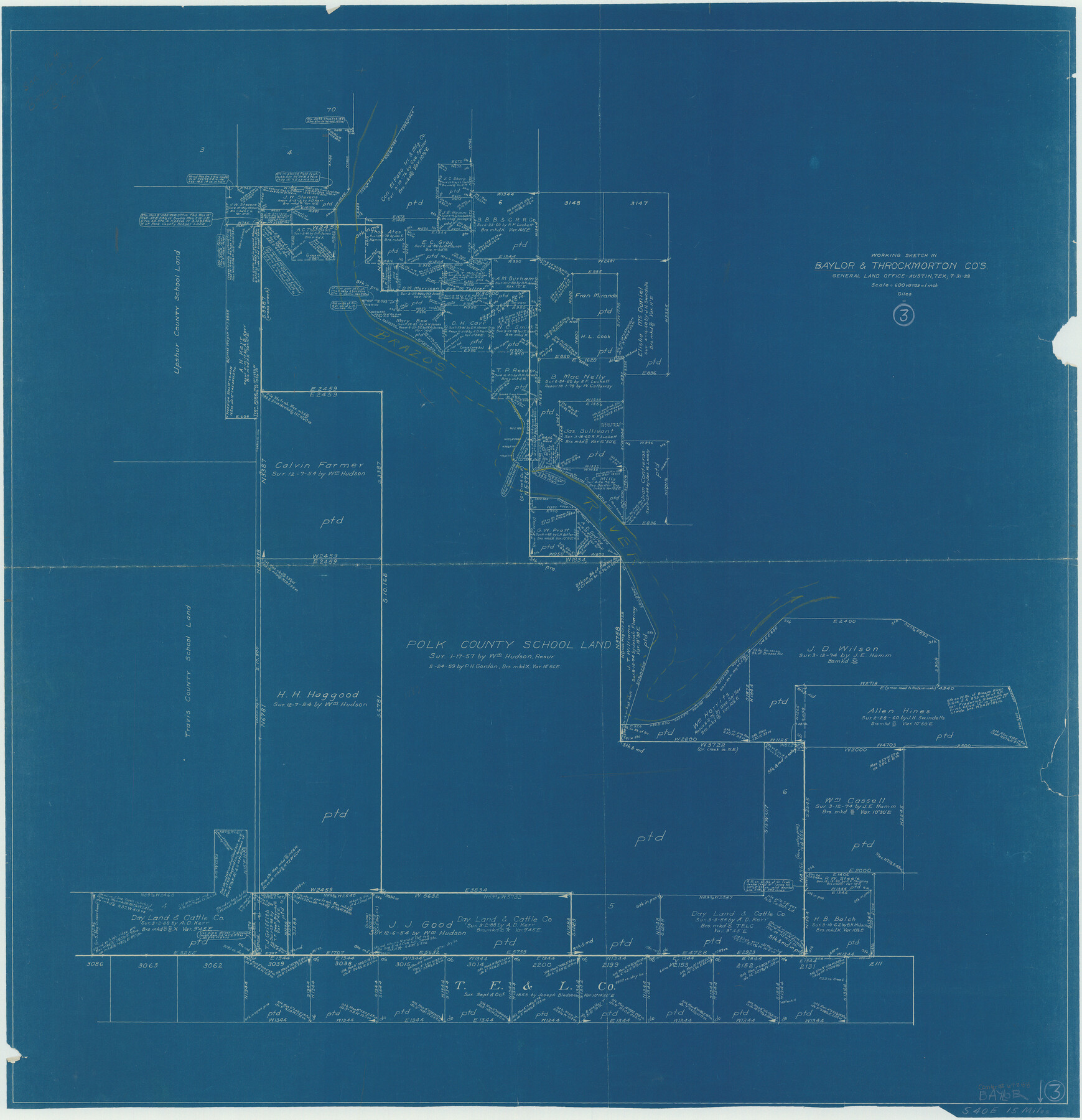
Baylor County Working Sketch 3
Working Sketch in Baylor and Throckmorton Counties
-
Map/Doc
67288
-
Collection
General Map Collection
-
Object Dates
1929/7/31 (Creation Date)
-
People and Organizations
Texas General Land Office (Publisher)
J. Bascom Giles (Compiler)
J. Bascom Giles (Draftsman)
-
Counties
Baylor Throckmorton
-
Subjects
Cadastral Surveying Working Sketch
-
Height x Width
37.8 x 36.5 inches
96.0 x 92.7 cm
-
Comments
Surveys located about 15 miles South 40 degrees East of Seymour, Texas.
Part of: General Map Collection
Eastham Farm, Texas Prison System, Houston County
![62988, Eastham Farm, Texas Prison System, Houston County, General Map Collection](https://historictexasmaps.com/wmedia_w700/maps/62988.tif.jpg)
Print $20.00
- Digital $50.00
Eastham Farm, Texas Prison System, Houston County
Size 17.3 x 18.4 inches
Map/Doc 62988
Flight Mission No. DAG-17K, Frame 123, Matagorda County
![86343, Flight Mission No. DAG-17K, Frame 123, Matagorda County, General Map Collection](https://historictexasmaps.com/wmedia_w700/pdf_converted_jpg/qi_pdf_thumbnail_33487.jpg)
Print $20.00
- Digital $50.00
Flight Mission No. DAG-17K, Frame 123, Matagorda County
1952
Size 18.6 x 22.3 inches
Map/Doc 86343
Map of subdivision of submerged land in the Gulf of Mexico fronting on Matagorda Island and Peninsula
![2930, Map of subdivision of submerged land in the Gulf of Mexico fronting on Matagorda Island and Peninsula, General Map Collection](https://historictexasmaps.com/wmedia_w700/maps/2930.tif.jpg)
Print $40.00
- Digital $50.00
Map of subdivision of submerged land in the Gulf of Mexico fronting on Matagorda Island and Peninsula
1940
Size 22.6 x 64.5 inches
Map/Doc 2930
Coryell County Rolled Sketch 1
![5565, Coryell County Rolled Sketch 1, General Map Collection](https://historictexasmaps.com/wmedia_w700/maps/5565.tif.jpg)
Print $20.00
- Digital $50.00
Coryell County Rolled Sketch 1
1943
Size 22.7 x 21.4 inches
Map/Doc 5565
Flight Mission No. CRC-4R, Frame 81, Chambers County
![84885, Flight Mission No. CRC-4R, Frame 81, Chambers County, General Map Collection](https://historictexasmaps.com/wmedia_w700/pdf_converted_jpg/qi_pdf_thumbnail_32100.jpg)
Print $20.00
- Digital $50.00
Flight Mission No. CRC-4R, Frame 81, Chambers County
1956
Size 18.7 x 22.5 inches
Map/Doc 84885
Flight Mission No. BRA-16M, Frame 75, Jefferson County
![85692, Flight Mission No. BRA-16M, Frame 75, Jefferson County, General Map Collection](https://historictexasmaps.com/wmedia_w700/pdf_converted_jpg/qi_pdf_thumbnail_32889.jpg)
Print $20.00
- Digital $50.00
Flight Mission No. BRA-16M, Frame 75, Jefferson County
1953
Size 18.6 x 22.3 inches
Map/Doc 85692
Howard County Working Sketch 11
![66279, Howard County Working Sketch 11, General Map Collection](https://historictexasmaps.com/wmedia_w700/maps/66279.tif.jpg)
Print $20.00
- Digital $50.00
Howard County Working Sketch 11
Size 20.5 x 20.3 inches
Map/Doc 66279
Crosby County Rolled Sketch 1A
![5641, Crosby County Rolled Sketch 1A, General Map Collection](https://historictexasmaps.com/wmedia_w700/maps/5641.tif.jpg)
Print $20.00
- Digital $50.00
Crosby County Rolled Sketch 1A
1950
Size 26.1 x 22.2 inches
Map/Doc 5641
South Montgomery County, Woodlands Chamber of Commerce Street Map
![94363, South Montgomery County, Woodlands Chamber of Commerce Street Map, General Map Collection](https://historictexasmaps.com/wmedia_w700/maps/94363.tif.jpg)
South Montgomery County, Woodlands Chamber of Commerce Street Map
Size 50.0 x 37.9 inches
Map/Doc 94363
[Galveston, Harrisburg & San Antonio Railway]
![64404, [Galveston, Harrisburg & San Antonio Railway], General Map Collection](https://historictexasmaps.com/wmedia_w700/maps/64404.tif.jpg)
Print $20.00
- Digital $50.00
[Galveston, Harrisburg & San Antonio Railway]
1892
Size 13.8 x 34.0 inches
Map/Doc 64404
Presidio County Working Sketch 39
![71716, Presidio County Working Sketch 39, General Map Collection](https://historictexasmaps.com/wmedia_w700/maps/71716.tif.jpg)
Print $20.00
- Digital $50.00
Presidio County Working Sketch 39
Size 44.6 x 43.4 inches
Map/Doc 71716
You may also like
Map of the Western Part of Bexar District
![87375, Map of the Western Part of Bexar District, General Map Collection](https://historictexasmaps.com/wmedia_w700/maps/87375.tif.jpg)
Print $40.00
- Digital $50.00
Map of the Western Part of Bexar District
1849
Size 63.5 x 21.6 inches
Map/Doc 87375
Newton County Working Sketch 37
![71283, Newton County Working Sketch 37, General Map Collection](https://historictexasmaps.com/wmedia_w700/maps/71283.tif.jpg)
Print $20.00
- Digital $50.00
Newton County Working Sketch 37
Size 31.7 x 22.7 inches
Map/Doc 71283
Supreme Court of the United States, October Term, 1924, No. 13, Original - The State of Oklahoma, Complainant vs. The State of Texas, Defendant, The United States, Intervener
![75131, Supreme Court of the United States, October Term, 1924, No. 13, Original - The State of Oklahoma, Complainant vs. The State of Texas, Defendant, The United States, Intervener, General Map Collection](https://historictexasmaps.com/wmedia_w700/maps/75131.tif.jpg)
Print $20.00
- Digital $50.00
Supreme Court of the United States, October Term, 1924, No. 13, Original - The State of Oklahoma, Complainant vs. The State of Texas, Defendant, The United States, Intervener
1924
Size 26.5 x 38.5 inches
Map/Doc 75131
Polk County Rolled Sketch 27
![7315, Polk County Rolled Sketch 27, General Map Collection](https://historictexasmaps.com/wmedia_w700/maps/7315.tif.jpg)
Print $20.00
- Digital $50.00
Polk County Rolled Sketch 27
1944
Size 21.1 x 26.6 inches
Map/Doc 7315
Medina County Working Sketch 1
![70916, Medina County Working Sketch 1, General Map Collection](https://historictexasmaps.com/wmedia_w700/maps/70916.tif.jpg)
Print $20.00
- Digital $50.00
Medina County Working Sketch 1
Size 14.2 x 14.2 inches
Map/Doc 70916
El Paso County Working Sketch 32
![69054, El Paso County Working Sketch 32, General Map Collection](https://historictexasmaps.com/wmedia_w700/maps/69054.tif.jpg)
Print $20.00
- Digital $50.00
El Paso County Working Sketch 32
Size 40.2 x 38.3 inches
Map/Doc 69054
Terrell County Rolled Sketch 42
![7945, Terrell County Rolled Sketch 42, General Map Collection](https://historictexasmaps.com/wmedia_w700/maps/7945.tif.jpg)
Print $20.00
- Digital $50.00
Terrell County Rolled Sketch 42
1948
Size 27.4 x 38.6 inches
Map/Doc 7945
Wilbarger Co.
![73324, Wilbarger Co., General Map Collection](https://historictexasmaps.com/wmedia_w700/maps/73324.tif.jpg)
Print $20.00
- Digital $50.00
Wilbarger Co.
1949
Size 47.8 x 38.8 inches
Map/Doc 73324
Kinney County Sketch File 38
![29188, Kinney County Sketch File 38, General Map Collection](https://historictexasmaps.com/wmedia_w700/pdf_converted_jpg/qi_pdf_thumbnail_12499.jpg)
Print $8.00
- Digital $50.00
Kinney County Sketch File 38
1882
Size 14.3 x 8.7 inches
Map/Doc 29188
Yoakum County Sketch File 17
![40796, Yoakum County Sketch File 17, General Map Collection](https://historictexasmaps.com/wmedia_w700/pdf_converted_jpg/qi_pdf_thumbnail_15199.jpg)
Print $48.00
- Digital $50.00
Yoakum County Sketch File 17
Size 14.5 x 8.9 inches
Map/Doc 40796
Map and Profile No. 1 from the Red River to the Rio Grande; from Explorations and surveys made under the direction of the Hon. Jeffeson Davis, Secretary of War
![4330, Map and Profile No. 1 from the Red River to the Rio Grande; from Explorations and surveys made under the direction of the Hon. Jeffeson Davis, Secretary of War, General Map Collection](https://historictexasmaps.com/wmedia_w700/maps/4330.tif.jpg)
Print $40.00
- Digital $50.00
Map and Profile No. 1 from the Red River to the Rio Grande; from Explorations and surveys made under the direction of the Hon. Jeffeson Davis, Secretary of War
1856
Size 30.5 x 57.0 inches
Map/Doc 4330
Terrell County Working Sketch 58
![69579, Terrell County Working Sketch 58, General Map Collection](https://historictexasmaps.com/wmedia_w700/maps/69579.tif.jpg)
Print $40.00
- Digital $50.00
Terrell County Working Sketch 58
Size 36.3 x 48.9 inches
Map/Doc 69579