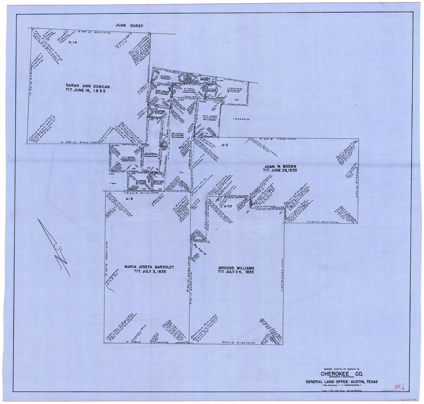
Cherokee County Working Sketch 23
-
Map/Doc
67978
-
Collection
General Map Collection
-
Object Dates
2/25/1972 (Creation Date)
-
People and Organizations
Herbert H. Ulbricht (Draftsman)
-
Counties
Cherokee
-
Subjects
Surveying Working Sketch
-
Height x Width
44.4 x 46.9 inches
112.8 x 119.1 cm
-
Scale
1" = 400 varas
Part of: General Map Collection
Van Zandt County Sketch File 26

Print $4.00
- Digital $50.00
Van Zandt County Sketch File 26
1858
Size 6.7 x 7.9 inches
Map/Doc 39445
Tom Green County Rolled Sketch 22

Print $20.00
- Digital $50.00
Tom Green County Rolled Sketch 22
1966
Size 38.0 x 43.6 inches
Map/Doc 10006
Brazoria County Rolled Sketch 46

Print $40.00
- Digital $50.00
Brazoria County Rolled Sketch 46
1950
Size 30.7 x 57.3 inches
Map/Doc 8462
Kerr County Working Sketch 25

Print $20.00
- Digital $50.00
Kerr County Working Sketch 25
Size 21.5 x 28.5 inches
Map/Doc 70056
Edwards County Sketch File 14 1/2

Print $20.00
- Digital $50.00
Edwards County Sketch File 14 1/2
1887
Size 18.3 x 15.3 inches
Map/Doc 11426
Fort Bend County State Real Property Sketch 5

Print $40.00
- Digital $50.00
Fort Bend County State Real Property Sketch 5
1988
Size 35.3 x 43.6 inches
Map/Doc 61679
Treaty to Resolve Pending Boundary Differences and Maintain the Rio Grande and Colorado River as the International Boundary Between the United States of American and Mexico

Print $20.00
- Digital $50.00
Treaty to Resolve Pending Boundary Differences and Maintain the Rio Grande and Colorado River as the International Boundary Between the United States of American and Mexico
1970
Size 10.9 x 35.6 inches
Map/Doc 83104
Jeff Davis County Working Sketch Graphic Index - central part

Print $40.00
- Digital $50.00
Jeff Davis County Working Sketch Graphic Index - central part
1982
Size 55.7 x 42.6 inches
Map/Doc 76593
Zapata County Rolled Sketch 12B

Print $40.00
- Digital $50.00
Zapata County Rolled Sketch 12B
1917
Size 55.7 x 40.0 inches
Map/Doc 10166

Colton's "New Medium" Map of the State of Texas, the Indian Territory, etc. from the latest & most authentic sources

Print $20.00
- Digital $50.00
Colton's "New Medium" Map of the State of Texas, the Indian Territory, etc. from the latest & most authentic sources
1884
Size 25.4 x 29.5 inches
Map/Doc 96524
Foard County Sketch File 17

Print $12.00
- Digital $50.00
Foard County Sketch File 17
1882
Size 14.2 x 8.8 inches
Map/Doc 22828
You may also like
Township 5 South Range 13 West, South Western District, Louisiana

Print $20.00
- Digital $50.00
Township 5 South Range 13 West, South Western District, Louisiana
1879
Size 19.3 x 24.8 inches
Map/Doc 65885
[Sketch for Mineral Application 13436 - Cut-off Bayou]
![65676, [Sketch for Mineral Application 13436 - Cut-off Bayou], General Map Collection](https://historictexasmaps.com/wmedia_w700/maps/65676-1.tif.jpg)
Print $20.00
- Digital $50.00
[Sketch for Mineral Application 13436 - Cut-off Bayou]
1928
Size 44.1 x 21.6 inches
Map/Doc 65676
Presidio County Working Sketch 134

Print $40.00
- Digital $50.00
Presidio County Working Sketch 134
1989
Size 37.0 x 55.6 inches
Map/Doc 71812
Cameron County Rolled Sketch 29

Print $20.00
- Digital $50.00
Cameron County Rolled Sketch 29
1990
Size 29.3 x 46.4 inches
Map/Doc 8578
Collin County Working Sketch 5

Print $20.00
- Digital $50.00
Collin County Working Sketch 5
1992
Size 14.2 x 19.7 inches
Map/Doc 68099
Galveston/Galveston Island, Texas

Galveston/Galveston Island, Texas
Size 18.4 x 24.3 inches
Map/Doc 94346
Calhoun County Sketch File 6

Print $34.00
- Digital $50.00
Calhoun County Sketch File 6
1942
Size 9.3 x 9.0 inches
Map/Doc 35908
Baylor County Sketch File A2

Print $4.00
- Digital $50.00
Baylor County Sketch File A2
1899
Size 10.4 x 8.2 inches
Map/Doc 14075
[Sketch showing B. S. & F. survey number 9, section 9]
![91711, [Sketch showing B. S. & F. survey number 9, section 9], Twichell Survey Records](https://historictexasmaps.com/wmedia_w700/maps/91711-1.tif.jpg)
Print $2.00
- Digital $50.00
[Sketch showing B. S. & F. survey number 9, section 9]
Size 8.7 x 8.1 inches
Map/Doc 91711
Lampasas County Sketch File 8

Print $4.00
- Digital $50.00
Lampasas County Sketch File 8
1872
Size 8.8 x 7.7 inches
Map/Doc 29406
[San Antonio & Aransas Pass]
![64211, [San Antonio & Aransas Pass], General Map Collection](https://historictexasmaps.com/wmedia_w700/maps/64211.tif.jpg)
Print $2.00
- Digital $50.00
[San Antonio & Aransas Pass]
Size 11.6 x 8.2 inches
Map/Doc 64211
[Surveys near Brushy Creek]
![360, [Surveys near Brushy Creek], General Map Collection](https://historictexasmaps.com/wmedia_w700/maps/360.tif.jpg)
Print $2.00
- Digital $50.00
[Surveys near Brushy Creek]
1845
Size 10.0 x 7.9 inches
Map/Doc 360