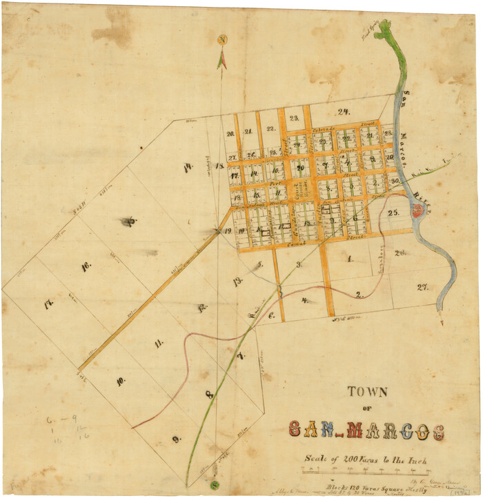
[San Antonio & Aransas Pass]
Lockhart Branch
Z-2-53
-
Map/Doc
64211
-
Collection
General Map Collection
-
Counties
Gonzales Lavaca
-
Subjects
Railroads
-
Height x Width
11.6 x 8.2 inches
29.5 x 20.8 cm
-
Medium
blueprint/diazo
-
Scale
2000 ft. to 1 inch.
-
Comments
See counters 64208 through 64211 for all pages of map.
-
Features
SA&AP
Shiner
Part of: General Map Collection
Current Miscellaneous File 109
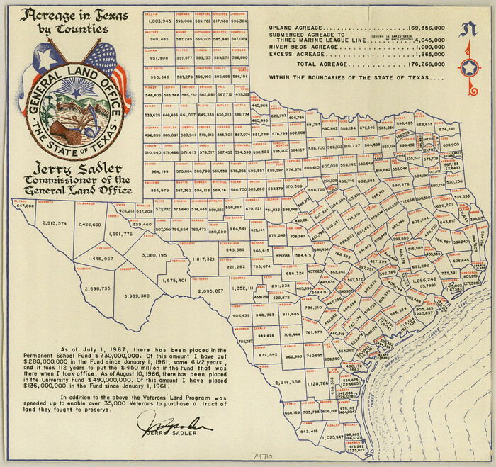

Print $9.00
- Digital $50.00
Current Miscellaneous File 109
1967
Size 9.7 x 10.3 inches
Map/Doc 74710
Pecos County Rolled Sketch 176


Print $20.00
- Digital $50.00
Pecos County Rolled Sketch 176
1978
Size 14.1 x 33.6 inches
Map/Doc 7296
Wichita County Sketch File 9a
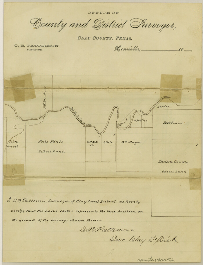

Print $4.00
- Digital $50.00
Wichita County Sketch File 9a
Size 10.7 x 8.2 inches
Map/Doc 40052
Culberson County Working Sketch 33
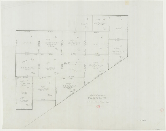

Print $20.00
- Digital $50.00
Culberson County Working Sketch 33
1960
Size 26.9 x 34.1 inches
Map/Doc 68486
Current Miscellaneous File 40


Print $10.00
- Digital $50.00
Current Miscellaneous File 40
Size 14.2 x 8.7 inches
Map/Doc 73972
Crane County Working Sketch 26


Print $20.00
- Digital $50.00
Crane County Working Sketch 26
1971
Size 32.4 x 33.0 inches
Map/Doc 68303
San Jacinto County
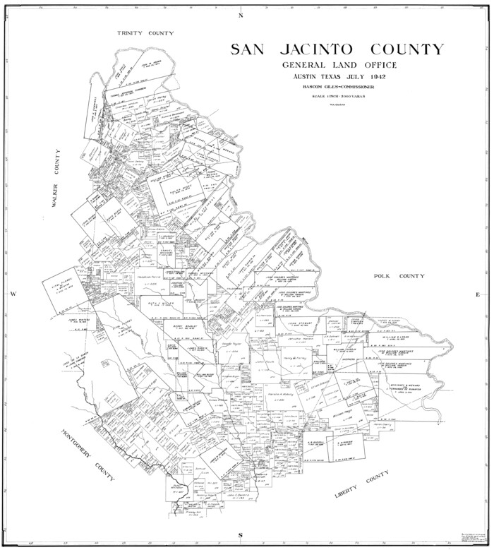

Print $20.00
- Digital $50.00
San Jacinto County
1949
Size 43.5 x 39.1 inches
Map/Doc 77415
El Paso County Working Sketch 36


Print $20.00
- Digital $50.00
El Paso County Working Sketch 36
1983
Size 34.0 x 40.3 inches
Map/Doc 69058
Scurry County Working Sketch Graphic Index


Print $20.00
- Digital $50.00
Scurry County Working Sketch Graphic Index
1921
Size 39.9 x 37.0 inches
Map/Doc 76695
Flight Mission No. CUG-2P, Frame 86, Kleberg County


Print $20.00
- Digital $50.00
Flight Mission No. CUG-2P, Frame 86, Kleberg County
1956
Size 18.5 x 22.2 inches
Map/Doc 86218
Upshur County
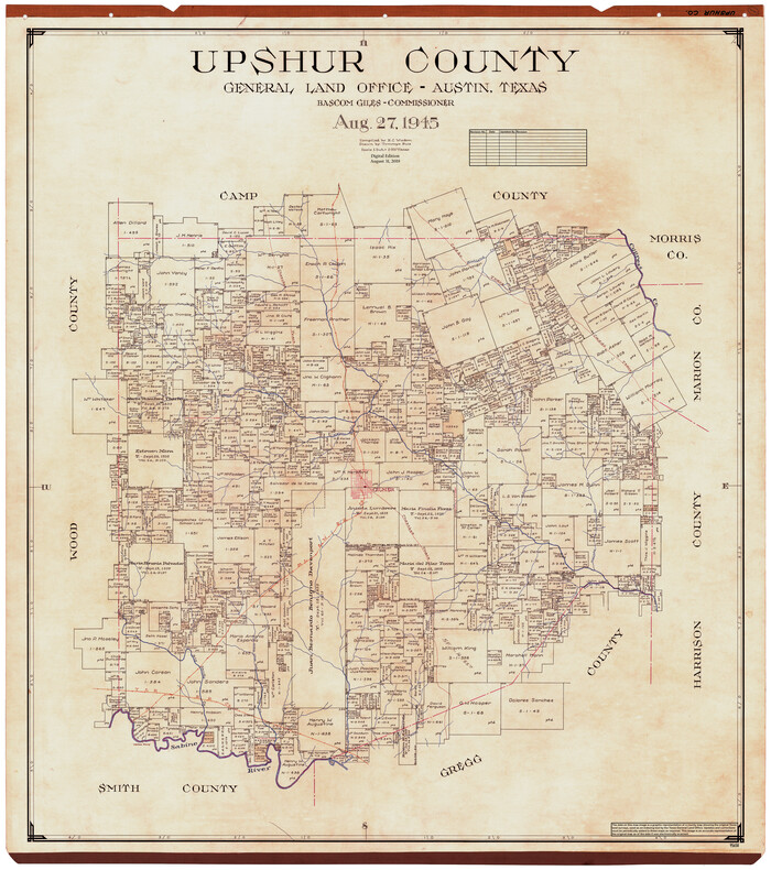

Print $20.00
- Digital $50.00
Upshur County
1945
Size 39.9 x 35.3 inches
Map/Doc 95658
Map of Llano County
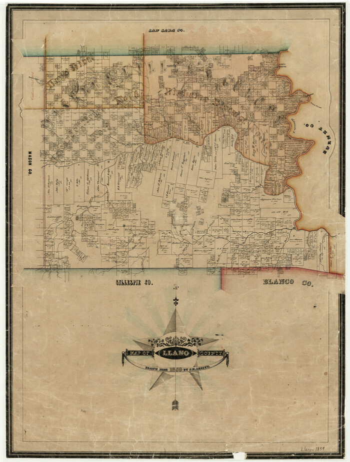

Print $20.00
- Digital $50.00
Map of Llano County
1859
Size 28.6 x 21.7 inches
Map/Doc 3826
You may also like
Kimble County Boundary File 3a

Print $36.00
- Digital $50.00
Kimble County Boundary File 3a
Size 8.8 x 8.2 inches
Map/Doc 64859
Orange County Working Sketch 37
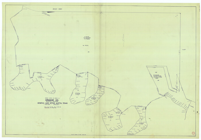

Print $40.00
- Digital $50.00
Orange County Working Sketch 37
1962
Size 37.7 x 54.0 inches
Map/Doc 71369
Rusk County Sketch File 27B
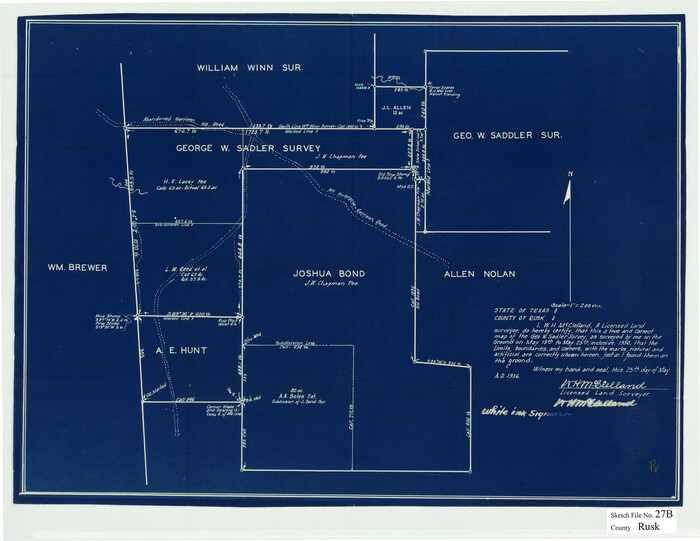

Print $20.00
Rusk County Sketch File 27B
1936
Size 15.4 x 19.9 inches
Map/Doc 12273
Flight Mission No. BQR-5K, Frame 73, Brazoria County
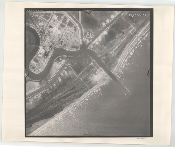

Print $20.00
- Digital $50.00
Flight Mission No. BQR-5K, Frame 73, Brazoria County
1952
Size 19.1 x 22.6 inches
Map/Doc 84018
Right-of-Way and Track Map, Texas State Railroad operated by the T. and N.O. R.R. Co.
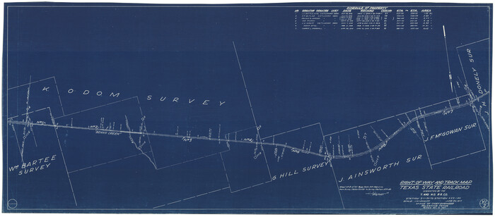

Print $40.00
- Digital $50.00
Right-of-Way and Track Map, Texas State Railroad operated by the T. and N.O. R.R. Co.
1917
Size 24.7 x 56.0 inches
Map/Doc 64172
Reagan County Working Sketch 11


Print $20.00
- Digital $50.00
Reagan County Working Sketch 11
1943
Size 19.4 x 20.9 inches
Map/Doc 71851
Limestone County Working Sketch 5
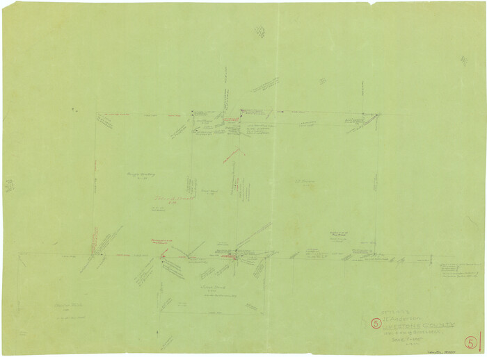

Print $20.00
- Digital $50.00
Limestone County Working Sketch 5
1922
Size 21.2 x 28.9 inches
Map/Doc 70555
Edwards County Sketch File 55
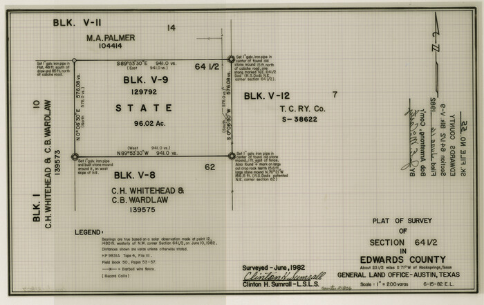

Print $4.00
- Digital $50.00
Edwards County Sketch File 55
1982
Size 9.1 x 14.5 inches
Map/Doc 21806
[FT. W. & R. G. Ry. Right of Way Map, Winchell to Brady, McCulloch County, Texas]
![61415, [FT. W. & R. G. Ry. Right of Way Map, Winchell to Brady, McCulloch County, Texas], General Map Collection](https://historictexasmaps.com/wmedia_w700/maps/61415.tif.jpg)
![61415, [FT. W. & R. G. Ry. Right of Way Map, Winchell to Brady, McCulloch County, Texas], General Map Collection](https://historictexasmaps.com/wmedia_w700/maps/61415.tif.jpg)
Print $40.00
- Digital $50.00
[FT. W. & R. G. Ry. Right of Way Map, Winchell to Brady, McCulloch County, Texas]
1918
Size 38.2 x 122.0 inches
Map/Doc 61415
Lampasas County Sketch File 7


Print $4.00
- Digital $50.00
Lampasas County Sketch File 7
1871
Size 8.4 x 8.2 inches
Map/Doc 29402
Upton County Sketch File 41
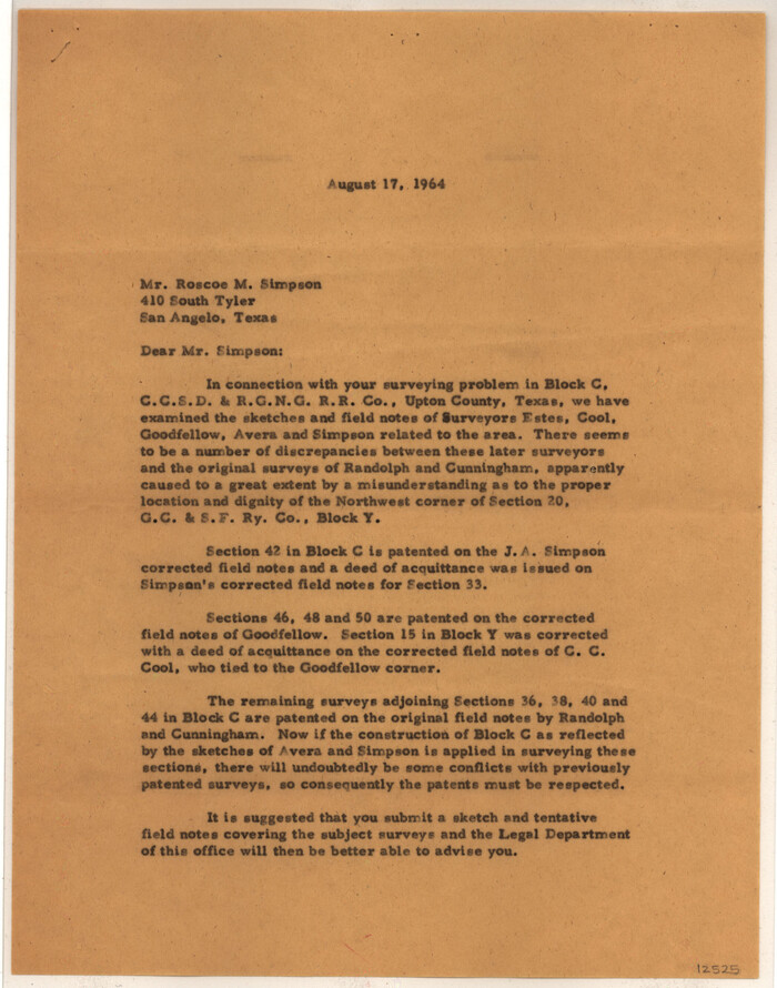

Print $20.00
- Digital $50.00
Upton County Sketch File 41
1964
Size 33.8 x 26.0 inches
Map/Doc 12525
![64211, [San Antonio & Aransas Pass], General Map Collection](https://historictexasmaps.com/wmedia_w1800h1800/maps/64211.tif.jpg)
