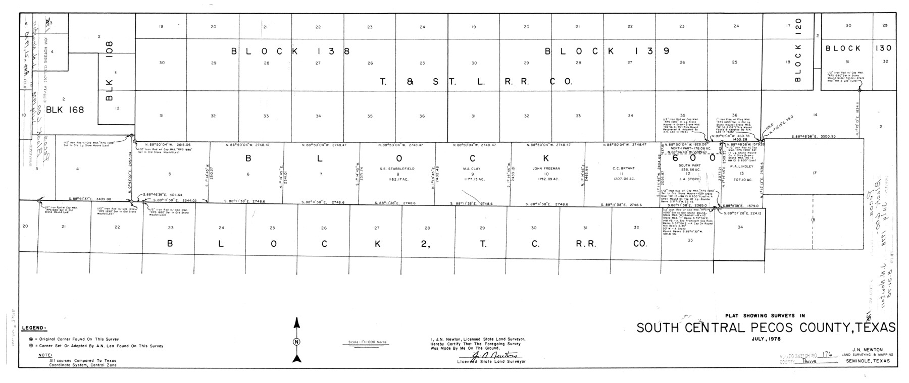
Pecos County Rolled Sketch 176
Plat showing surveys in south central Pecos County, Texas
-
Map/Doc
7296
-
Collection
General Map Collection
-
Object Dates
7/1978 (Creation Date)
8/21/1978 (File Date)
-
People and Organizations
J.N. Newton (Surveyor/Engineer)
-
Counties
Pecos
-
Subjects
Surveying Rolled Sketch
-
Height x Width
14.1 x 33.6 inches
35.8 x 85.3 cm
-
Scale
1" = 1000 varas
Part of: General Map Collection
Throckmorton County Working Sketch 10

Print $20.00
- Digital $50.00
Throckmorton County Working Sketch 10
1986
Size 22.8 x 36.8 inches
Map/Doc 62119
Flight Mission No. CLL-1N, Frame 76, Willacy County

Print $20.00
- Digital $50.00
Flight Mission No. CLL-1N, Frame 76, Willacy County
1954
Size 18.3 x 22.0 inches
Map/Doc 87022
San Patricio County Rolled Sketch 34

Print $20.00
- Digital $50.00
San Patricio County Rolled Sketch 34
Size 25.8 x 26.2 inches
Map/Doc 7584
Chambers County Sketch File 27

Print $12.00
- Digital $50.00
Chambers County Sketch File 27
1934
Size 11.3 x 8.8 inches
Map/Doc 17606
Kenedy County Aerial Photograph Index Sheet 9

Print $20.00
- Digital $50.00
Kenedy County Aerial Photograph Index Sheet 9
1943
Size 23.6 x 18.5 inches
Map/Doc 83717
Blanco County Sketch File 1

Print $4.00
- Digital $50.00
Blanco County Sketch File 1
1874
Size 7.8 x 7.9 inches
Map/Doc 14578
Galveston County Aerial Photograph Index Sheet 3

Print $20.00
- Digital $50.00
Galveston County Aerial Photograph Index Sheet 3
1953
Size 22.2 x 19.2 inches
Map/Doc 83694
Map of Wilbarger County Young Land District formerly Fannin Land District

Print $20.00
- Digital $50.00
Map of Wilbarger County Young Land District formerly Fannin Land District
1859
Size 22.7 x 20.6 inches
Map/Doc 4146
Flight Mission No. DCL-6C, Frame 71, Kenedy County

Print $20.00
- Digital $50.00
Flight Mission No. DCL-6C, Frame 71, Kenedy County
1943
Size 18.6 x 22.3 inches
Map/Doc 85913
Map of Polk County

Print $20.00
- Digital $50.00
Map of Polk County
1856
Size 22.1 x 23.7 inches
Map/Doc 3961
Brewster County Sketch File NS-4b

Print $40.00
- Digital $50.00
Brewster County Sketch File NS-4b
Size 30.4 x 35.8 inches
Map/Doc 10988
Flight Mission No. DQN-3K, Frame 50, Calhoun County

Print $20.00
- Digital $50.00
Flight Mission No. DQN-3K, Frame 50, Calhoun County
1953
Size 18.4 x 22.2 inches
Map/Doc 84351
You may also like
Zavala County

Print $40.00
- Digital $50.00
Zavala County
1977
Size 43.9 x 49.2 inches
Map/Doc 73334
[Sketch for Mineral Application 17237 / Mineral File 11855 - Neches River, Joe A. Sanders]
![65686, [Sketch for Mineral Application 17237 / Mineral File 11855 - Neches River, Joe A. Sanders], General Map Collection](https://historictexasmaps.com/wmedia_w700/maps/65686.tif.jpg)
Print $40.00
- Digital $50.00
[Sketch for Mineral Application 17237 / Mineral File 11855 - Neches River, Joe A. Sanders]
1927
Size 78.2 x 30.7 inches
Map/Doc 65686
General Highway Map, Colorado County, Texas

Print $20.00
General Highway Map, Colorado County, Texas
1940
Size 25.1 x 18.5 inches
Map/Doc 79054
Flight Mission No. BRE-1P, Frame 79, Nueces County

Print $20.00
- Digital $50.00
Flight Mission No. BRE-1P, Frame 79, Nueces County
1956
Size 18.4 x 22.2 inches
Map/Doc 86661
Knox County Sketch File 25

Print $10.00
- Digital $50.00
Knox County Sketch File 25
1872
Size 12.8 x 8.2 inches
Map/Doc 29257
Current Miscellaneous File 17

Print $24.00
- Digital $50.00
Current Miscellaneous File 17
1951
Size 10.7 x 8.1 inches
Map/Doc 73838
Intracoastal Waterway - Galveston Bay to West Bay including Galveston Bay Entrance

Print $20.00
- Digital $50.00
Intracoastal Waterway - Galveston Bay to West Bay including Galveston Bay Entrance
1962
Size 26.8 x 38.4 inches
Map/Doc 69937
Map of Southeastern Part of Young Territory

Print $40.00
- Digital $50.00
Map of Southeastern Part of Young Territory
1874
Size 54.7 x 30.1 inches
Map/Doc 1989
Hudspeth County Rolled Sketch 44

Print $20.00
- Digital $50.00
Hudspeth County Rolled Sketch 44
1951
Size 12.1 x 11.5 inches
Map/Doc 9217
Chambers County Sketch File 48

Print $88.00
- Digital $50.00
Chambers County Sketch File 48
1925
Size 14.3 x 8.8 inches
Map/Doc 18002
Van Zandt County Sketch File 27

Print $4.00
- Digital $50.00
Van Zandt County Sketch File 27
1859
Size 13.1 x 8.3 inches
Map/Doc 39447
Chambers County Sketch File 53

Print $12.00
- Digital $50.00
Chambers County Sketch File 53
1952
Size 14.3 x 8.9 inches
Map/Doc 18087