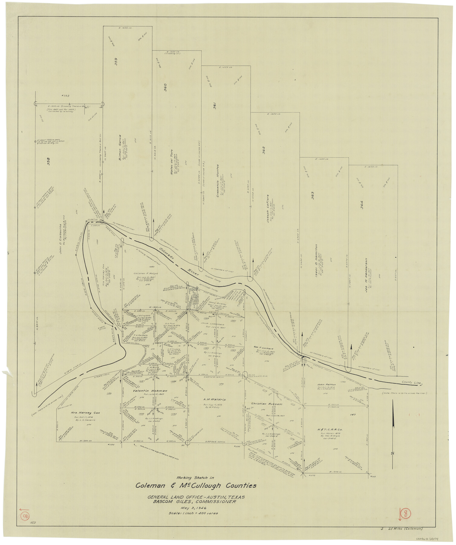
Coleman County Working Sketch 8
-
Map/Doc
68074
-
Collection
General Map Collection
-
Object Dates
5/3/1946 (Creation Date)
-
People and Organizations
Victor E. Sterzing (Draftsman)
-
Counties
Coleman McCulloch
-
Subjects
Surveying Working Sketch
-
Height x Width
39.3 x 33.3 inches
99.8 x 84.6 cm
-
Scale
1" = 400 varas
Part of: General Map Collection
Texas City Channel, Texas, Channel and Turning Basin Dredging - Sheet 4

Print $20.00
- Digital $50.00
Texas City Channel, Texas, Channel and Turning Basin Dredging - Sheet 4
1958
Size 28.5 x 40.9 inches
Map/Doc 61834
Flight Mission No. DQO-7K, Frame 100, Galveston County

Print $20.00
- Digital $50.00
Flight Mission No. DQO-7K, Frame 100, Galveston County
1952
Size 18.6 x 22.7 inches
Map/Doc 85115
Flight Mission No. DQO-11K, Frame 19, Galveston County

Print $20.00
- Digital $50.00
Flight Mission No. DQO-11K, Frame 19, Galveston County
1952
Size 18.6 x 22.4 inches
Map/Doc 85213
Fort Bend County Sketch File 19

Print $4.00
- Digital $50.00
Fort Bend County Sketch File 19
1890
Size 13.0 x 8.7 inches
Map/Doc 22951
Travis County Sketch File 43

Print $30.00
- Digital $50.00
Travis County Sketch File 43
1887
Size 8.8 x 9.3 inches
Map/Doc 38359
[St. L. S-W. Ry. of Texas Map of Lufkin Branch in Cherokee County Texas]
![64018, [St. L. S-W. Ry. of Texas Map of Lufkin Branch in Cherokee County Texas], General Map Collection](https://historictexasmaps.com/wmedia_w700/maps/64018.tif.jpg)
Print $40.00
- Digital $50.00
[St. L. S-W. Ry. of Texas Map of Lufkin Branch in Cherokee County Texas]
1912
Size 22.3 x 121.1 inches
Map/Doc 64018
Sutton County Sketch File 14

Print $20.00
- Digital $50.00
Sutton County Sketch File 14
1924
Size 17.8 x 20.0 inches
Map/Doc 12380
Williamson County Sketch File 4

Print $26.00
- Digital $50.00
Williamson County Sketch File 4
1849
Size 15.9 x 10.4 inches
Map/Doc 40304
Donley County Sketch File B11

Print $4.00
- Digital $50.00
Donley County Sketch File B11
1952
Size 11.5 x 9.0 inches
Map/Doc 21274
Howard County Rolled Sketch 6

Print $20.00
- Digital $50.00
Howard County Rolled Sketch 6
Size 17.3 x 18.1 inches
Map/Doc 6235
San Jacinto River and Tributaries, Texas - Survey of 1939

Print $20.00
- Digital $50.00
San Jacinto River and Tributaries, Texas - Survey of 1939
1939
Size 27.7 x 40.4 inches
Map/Doc 60309
Randall County Working Sketch Graphic Index

Print $20.00
- Digital $50.00
Randall County Working Sketch Graphic Index
1958
Size 41.2 x 33.2 inches
Map/Doc 76676
You may also like
Flight Mission No. DAG-23K, Frame 22, Matagorda County

Print $20.00
- Digital $50.00
Flight Mission No. DAG-23K, Frame 22, Matagorda County
1953
Size 18.6 x 22.3 inches
Map/Doc 86484
Nueces County Rolled Sketch 113A

Print $20.00
- Digital $50.00
Nueces County Rolled Sketch 113A
1972
Size 19.1 x 24.4 inches
Map/Doc 7121
Map of Uvalde County

Print $20.00
- Digital $50.00
Map of Uvalde County
1862
Size 27.4 x 20.7 inches
Map/Doc 4109
Flight Mission No. BRE-2P, Frame 35, Nueces County

Print $20.00
- Digital $50.00
Flight Mission No. BRE-2P, Frame 35, Nueces County
1956
Size 18.7 x 22.8 inches
Map/Doc 86737
Map of the Missouri, Kansas & Texas Railway and its connecting lines

Print $20.00
- Digital $50.00
Map of the Missouri, Kansas & Texas Railway and its connecting lines
1901
Size 16.3 x 9.1 inches
Map/Doc 95810
Flight Mission No. DQN-5K, Frame 37, Calhoun County

Print $20.00
- Digital $50.00
Flight Mission No. DQN-5K, Frame 37, Calhoun County
1953
Size 18.5 x 22.1 inches
Map/Doc 84385
Jack County Sketch File 31

Print $40.00
- Digital $50.00
Jack County Sketch File 31
1926
Size 8.8 x 7.2 inches
Map/Doc 27565
Sulphur River, Harts Bluff Sheet

Print $3.00
- Digital $50.00
Sulphur River, Harts Bluff Sheet
1919
Size 13.1 x 18.0 inches
Map/Doc 78329
[Sketch showing Blocks B5, B6 and G.&M. Block 5 north of Capitol Land]
![92990, [Sketch showing Blocks B5, B6 and G.&M. Block 5 north of Capitol Land], Twichell Survey Records](https://historictexasmaps.com/wmedia_w700/maps/92990-1.tif.jpg)
Print $20.00
- Digital $50.00
[Sketch showing Blocks B5, B6 and G.&M. Block 5 north of Capitol Land]
Size 20.7 x 38.2 inches
Map/Doc 92990
Glasscock County Rolled Sketch 3

Print $20.00
- Digital $50.00
Glasscock County Rolled Sketch 3
1906
Size 19.0 x 13.7 inches
Map/Doc 6014

Randall County Sketch File 9

Print $22.00
- Digital $50.00
Randall County Sketch File 9
Size 13.9 x 17.0 inches
Map/Doc 34970