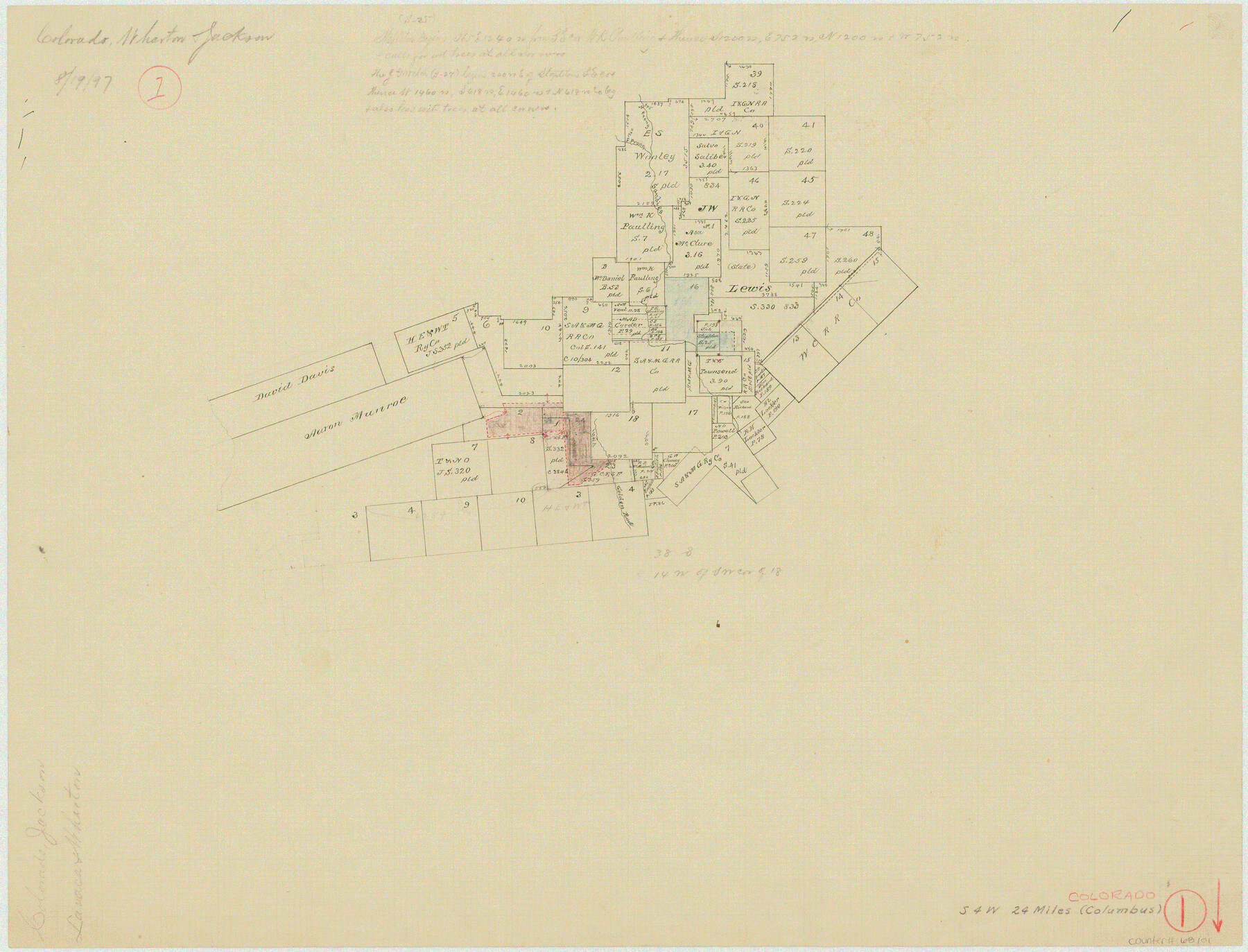
Colorado County Working Sketch 1
-
Map/Doc
68101
-
Collection
General Map Collection
-
Object Dates
8/19/1897 (Creation Date)
-
Counties
Colorado Lavaca
-
Subjects
Surveying Working Sketch
-
Height x Width
16.2 x 21.3 inches
41.2 x 54.1 cm
Part of: General Map Collection
Newton County Rolled Sketch 21

Print $40.00
- Digital $50.00
Newton County Rolled Sketch 21
1957
Size 29.9 x 52.5 inches
Map/Doc 9582
Cherokee County Working Sketch 9

Print $20.00
- Digital $50.00
Cherokee County Working Sketch 9
1957
Size 46.9 x 34.0 inches
Map/Doc 67964
Pecos County Working Sketch 101

Print $20.00
- Digital $50.00
Pecos County Working Sketch 101
1970
Size 43.3 x 31.1 inches
Map/Doc 71574
Nueces County Rolled Sketch 50

Print $20.00
- Digital $50.00
Nueces County Rolled Sketch 50
1939
Size 21.9 x 38.0 inches
Map/Doc 9605
Jeff Davis County Working Sketch 28

Print $20.00
- Digital $50.00
Jeff Davis County Working Sketch 28
1967
Size 21.2 x 28.6 inches
Map/Doc 66523
Val Verde County Rolled Sketch 38

Print $20.00
- Digital $50.00
Val Verde County Rolled Sketch 38
Size 30.4 x 19.5 inches
Map/Doc 61781
Duval County Sketch File 48

Print $8.00
- Digital $50.00
Duval County Sketch File 48
1935
Size 14.2 x 8.8 inches
Map/Doc 21405
Brazoria County Sketch File 50

Print $6.00
- Digital $50.00
Brazoria County Sketch File 50
Size 14.4 x 9.1 inches
Map/Doc 15122
Terrell County Sketch File 36

Print $40.00
- Digital $50.00
Terrell County Sketch File 36
1958
Size 15.7 x 13.5 inches
Map/Doc 37998
Navarro County Working Sketch 1b

Print $20.00
- Digital $50.00
Navarro County Working Sketch 1b
Size 32.5 x 44.6 inches
Map/Doc 71230
Fort Bend County Sketch File 26

Print $46.00
- Digital $50.00
Fort Bend County Sketch File 26
Size 8.9 x 9.1 inches
Map/Doc 22956
Hutchinson County Working Sketch 37

Print $20.00
- Digital $50.00
Hutchinson County Working Sketch 37
1978
Size 27.5 x 23.0 inches
Map/Doc 66397
You may also like
Val Verde County Rolled Sketch 38

Print $20.00
- Digital $50.00
Val Verde County Rolled Sketch 38
Size 29.8 x 19.7 inches
Map/Doc 8114
Current Miscellaneous File 72

Print $40.00
- Digital $50.00
Current Miscellaneous File 72
Size 10.8 x 8.2 inches
Map/Doc 74159
Flight Mission No. BRA-7M, Frame 193, Jefferson County

Print $20.00
- Digital $50.00
Flight Mission No. BRA-7M, Frame 193, Jefferson County
1953
Size 18.7 x 22.4 inches
Map/Doc 85561
Hood County Working Sketch 17

Print $40.00
- Digital $50.00
Hood County Working Sketch 17
1987
Size 42.2 x 54.4 inches
Map/Doc 66211
Working Sketch Bastrop County

Print $20.00
- Digital $50.00
Working Sketch Bastrop County
1923
Size 16.9 x 13.3 inches
Map/Doc 90146
Jackson County Sketch File 29

Print $10.00
- Digital $50.00
Jackson County Sketch File 29
Size 13.4 x 8.7 inches
Map/Doc 27725
[Township 3 North, Blocks 31 and 32, T. & P. RR. Company]
![92621, [Township 3 North, Blocks 31 and 32, T. & P. RR. Company], Twichell Survey Records](https://historictexasmaps.com/wmedia_w700/maps/92621-1.tif.jpg)
Print $20.00
- Digital $50.00
[Township 3 North, Blocks 31 and 32, T. & P. RR. Company]
Size 21.7 x 16.3 inches
Map/Doc 92621
Tarrant County Boundary File 2

Print $6.00
- Digital $50.00
Tarrant County Boundary File 2
Size 14.4 x 9.0 inches
Map/Doc 59111
Calhoun County Rolled Sketch 14

Print $20.00
- Digital $50.00
Calhoun County Rolled Sketch 14
1949
Size 20.2 x 29.6 inches
Map/Doc 5510
Flight Mission No. DQN-2K, Frame 138, Calhoun County

Print $20.00
- Digital $50.00
Flight Mission No. DQN-2K, Frame 138, Calhoun County
1953
Size 16.1 x 16.0 inches
Map/Doc 84307
Culberson County Working Sketch 62

Print $20.00
- Digital $50.00
Culberson County Working Sketch 62
1975
Size 32.2 x 24.6 inches
Map/Doc 68516
Guadalupe County

Print $20.00
- Digital $50.00
Guadalupe County
1869
Size 27.7 x 22.3 inches
Map/Doc 3607