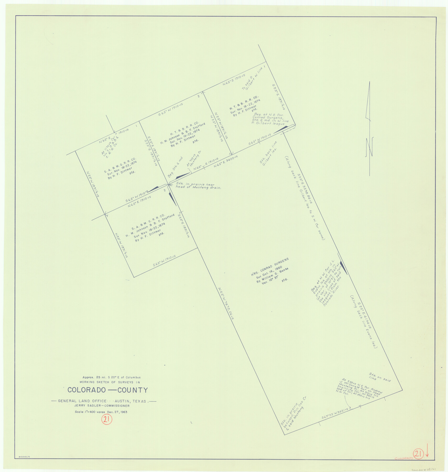
Colorado County Working Sketch 21
-
Map/Doc
68121
-
Collection
General Map Collection
-
Object Dates
12/27/1963 (Creation Date)
-
People and Organizations
Roy Buckholts (Draftsman)
-
Counties
Colorado
-
Subjects
Surveying Working Sketch
-
Height x Width
32.1 x 30.5 inches
81.5 x 77.5 cm
-
Scale
1" = 400 varas
Part of: General Map Collection
Flight Mission No. BRA-3M, Frame 128, Jefferson County

Print $20.00
- Digital $50.00
Flight Mission No. BRA-3M, Frame 128, Jefferson County
1953
Size 18.5 x 22.3 inches
Map/Doc 85402
Maverick County Sketch File 13

Print $14.00
- Digital $50.00
Maverick County Sketch File 13
1882
Size 12.7 x 8.0 inches
Map/Doc 31102
Walker County

Print $20.00
- Digital $50.00
Walker County
1944
Size 45.7 x 38.4 inches
Map/Doc 73314
Cochran County Boundary File 5

Print $12.00
- Digital $50.00
Cochran County Boundary File 5
Size 4.2 x 8.8 inches
Map/Doc 51556
[Sketch for Mineral Application 19443 - Brazos River]
![65683, [Sketch for Mineral Application 19443 - Brazos River], General Map Collection](https://historictexasmaps.com/wmedia_w700/maps/65683.tif.jpg)
Print $40.00
- Digital $50.00
[Sketch for Mineral Application 19443 - Brazos River]
1853
Size 117.1 x 30.5 inches
Map/Doc 65683
Flight Mission No. CGI-1N, Frame 144, Cameron County

Print $20.00
- Digital $50.00
Flight Mission No. CGI-1N, Frame 144, Cameron County
1955
Size 18.7 x 22.3 inches
Map/Doc 84500
Flight Mission No. BQR-13K, Frame 166, Brazoria County

Print $20.00
- Digital $50.00
Flight Mission No. BQR-13K, Frame 166, Brazoria County
1952
Size 18.8 x 22.3 inches
Map/Doc 84091
Falls County Sketch File 33

Print $4.00
- Digital $50.00
Falls County Sketch File 33
1873
Size 10.3 x 8.3 inches
Map/Doc 22441
Reeves County Working Sketch 21

Print $20.00
- Digital $50.00
Reeves County Working Sketch 21
1964
Size 32.7 x 27.0 inches
Map/Doc 63464
Amistad International Reservoir on Rio Grande 106

Print $20.00
- Digital $50.00
Amistad International Reservoir on Rio Grande 106
1950
Size 28.5 x 41.0 inches
Map/Doc 75537
Coast Chart No. 210 Aransas Pass and Corpus Christi Bay with the coast to latitude 27° 12' Texas

Print $20.00
- Digital $50.00
Coast Chart No. 210 Aransas Pass and Corpus Christi Bay with the coast to latitude 27° 12' Texas
1887
Size 27.6 x 18.3 inches
Map/Doc 72790
Flight Mission No. CUG-1P, Frame 163, Kleberg County

Print $20.00
- Digital $50.00
Flight Mission No. CUG-1P, Frame 163, Kleberg County
1956
Size 18.6 x 22.2 inches
Map/Doc 86170
You may also like
Map of the South West Railway System - Missouri Pacific Ry., Central Branch U.P. R.R., Missouri, Kansas & Texas Ry., Texas and Pacific Ry., St. Louis, Iron Mountn. and Southern Ry., International and Great Northern Ry., and their connections

Print $20.00
- Digital $50.00
Map of the South West Railway System - Missouri Pacific Ry., Central Branch U.P. R.R., Missouri, Kansas & Texas Ry., Texas and Pacific Ry., St. Louis, Iron Mountn. and Southern Ry., International and Great Northern Ry., and their connections
1883
Size 15.8 x 21.2 inches
Map/Doc 95788
Map of the Capitol Land Reservation

Print $20.00
- Digital $50.00
Map of the Capitol Land Reservation
1880
Size 43.5 x 34.6 inches
Map/Doc 1751
Upton County Rolled Sketch 4

Print $20.00
- Digital $50.00
Upton County Rolled Sketch 4
Size 34.4 x 42.8 inches
Map/Doc 76025
Houston County Sketch File 36

Print $40.00
- Digital $50.00
Houston County Sketch File 36
1945
Size 15.6 x 14.2 inches
Map/Doc 26817
Hardin County Working Sketch 42

Print $20.00
- Digital $50.00
Hardin County Working Sketch 42
1917
Size 16.2 x 22.1 inches
Map/Doc 63441
Concho County Sketch File 4

Print $2.00
- Digital $50.00
Concho County Sketch File 4
1858
Size 8.0 x 10.1 inches
Map/Doc 82523
Leon County Working Sketch 52b

Print $20.00
- Digital $50.00
Leon County Working Sketch 52b
1982
Size 33.6 x 33.5 inches
Map/Doc 70452
McMullen County Rolled Sketch WSG

Print $20.00
- Digital $50.00
McMullen County Rolled Sketch WSG
Size 25.8 x 33.9 inches
Map/Doc 6738

Jeff Davis County Working Sketch Graphic Index - central part

Print $40.00
- Digital $50.00
Jeff Davis County Working Sketch Graphic Index - central part
1982
Size 55.7 x 42.6 inches
Map/Doc 76593
Garza County Sketch File G-1

Print $20.00
- Digital $50.00
Garza County Sketch File G-1
1904
Size 20.4 x 20.6 inches
Map/Doc 11554
[H. & T. C. RR. Company, Block 47]
![91153, [H. & T. C. RR. Company, Block 47], Twichell Survey Records](https://historictexasmaps.com/wmedia_w700/maps/91153-1.tif.jpg)
Print $20.00
- Digital $50.00
[H. & T. C. RR. Company, Block 47]
1888
Size 16.9 x 21.2 inches
Map/Doc 91153