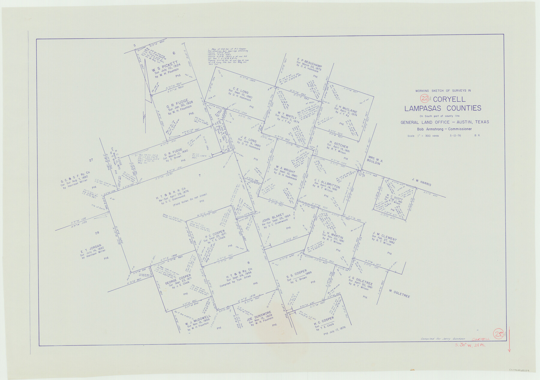
Coryell County Working Sketch 22
-
Map/Doc
68229
-
Collection
General Map Collection
-
Object Dates
3/12/1976 (Creation Date)
-
People and Organizations
Beverly Robison (Draftsman)
-
Counties
Coryell Lampasas
-
Subjects
Surveying Working Sketch
-
Height x Width
24.9 x 35.3 inches
63.3 x 89.7 cm
-
Scale
1" = 300 varas
Part of: General Map Collection
Texas, Corpus Christi Bay, Mustang Island

Print $40.00
- Digital $50.00
Texas, Corpus Christi Bay, Mustang Island
1940
Size 49.2 x 35.8 inches
Map/Doc 73461
Lee County Sketch File 5

Print $40.00
- Digital $50.00
Lee County Sketch File 5
Size 12.2 x 15.8 inches
Map/Doc 29686
Hood County Sketch File 9

Print $26.00
- Digital $50.00
Hood County Sketch File 9
1859
Size 9.6 x 4.5 inches
Map/Doc 26586
Calhoun County NRC Article 33.136 Sketch 14

Print $24.00
Calhoun County NRC Article 33.136 Sketch 14
2023
Map/Doc 97273

El Paso County Rolled Sketch 50

Print $40.00
- Digital $50.00
El Paso County Rolled Sketch 50
1956
Size 20.7 x 80.1 inches
Map/Doc 8876
Austin County Rolled Sketch 5B

Print $40.00
- Digital $50.00
Austin County Rolled Sketch 5B
1942
Size 22.5 x 50.8 inches
Map/Doc 5106
Karnes County Sketch File 12

Print $14.00
- Digital $50.00
Karnes County Sketch File 12
1889
Size 12.7 x 8.0 inches
Map/Doc 28604
Montgomery County

Print $20.00
- Digital $50.00
Montgomery County
1901
Size 21.9 x 25.3 inches
Map/Doc 3898
Flight Mission No. BQR-3K, Frame 163, Brazoria County

Print $20.00
- Digital $50.00
Flight Mission No. BQR-3K, Frame 163, Brazoria County
1952
Size 18.7 x 22.3 inches
Map/Doc 83990
Hall County Boundary File 1a

Print $40.00
- Digital $50.00
Hall County Boundary File 1a
Size 8.5 x 35.2 inches
Map/Doc 54171
Madison County Working Sketch 13

Print $20.00
- Digital $50.00
Madison County Working Sketch 13
1995
Size 15.5 x 22.9 inches
Map/Doc 70775
You may also like
San Augustine County Working Sketch Graphic Index

Print $20.00
- Digital $50.00
San Augustine County Working Sketch Graphic Index
1949
Size 47.4 x 29.6 inches
Map/Doc 76690
Wharton County Sketch File 11

Print $4.00
- Digital $50.00
Wharton County Sketch File 11
1891
Size 9.1 x 12.3 inches
Map/Doc 39933
Runnels County Rolled Sketch 32

Print $20.00
- Digital $50.00
Runnels County Rolled Sketch 32
Size 34.9 x 44.5 inches
Map/Doc 9868
Mitchell County Sketch File 9

Print $8.00
- Digital $50.00
Mitchell County Sketch File 9
1909
Size 11.4 x 8.6 inches
Map/Doc 31694
Tarrant County Sketch File 24

Print $6.00
- Digital $50.00
Tarrant County Sketch File 24
Size 15.3 x 10.0 inches
Map/Doc 37735
Map of Texas and part of New Mexico compiled in the Bureau of Topographl. Engrs. chiefly for military purposes

Print $20.00
- Digital $50.00
Map of Texas and part of New Mexico compiled in the Bureau of Topographl. Engrs. chiefly for military purposes
1857
Size 18.8 x 24.8 inches
Map/Doc 97116
Carta General de la República Mexicana Formada para el estudio de la configuracion y division interior de su territorio

Print $20.00
- Digital $50.00
Carta General de la República Mexicana Formada para el estudio de la configuracion y division interior de su territorio
Size 23.2 x 29.4 inches
Map/Doc 95823
Starr County Sketch File 10

Print $40.00
- Digital $50.00
Starr County Sketch File 10
Size 12.6 x 15.0 inches
Map/Doc 36863
Right of Way and Track Map, the Missouri, Kansas and Texas Ry. of Texas operated by the Missouri, Kansas and Texas Ry. of Texas, San Antonio Division

Print $40.00
- Digital $50.00
Right of Way and Track Map, the Missouri, Kansas and Texas Ry. of Texas operated by the Missouri, Kansas and Texas Ry. of Texas, San Antonio Division
1918
Size 25.4 x 59.2 inches
Map/Doc 64580
Bird's Eye View of the City of San Antonio, Bexar County, Texas

Print $20.00
Bird's Eye View of the City of San Antonio, Bexar County, Texas
1873
Size 23.9 x 29.6 inches
Map/Doc 89203
Castro County Sketch File 17

Print $20.00
- Digital $50.00
Castro County Sketch File 17
1981
Size 14.8 x 25.7 inches
Map/Doc 11063
Outer Continental Shelf Leasing Maps (Texas Offshore Operations)

Print $20.00
- Digital $50.00
Outer Continental Shelf Leasing Maps (Texas Offshore Operations)
1954
Size 11.6 x 12.3 inches
Map/Doc 75835