Starr County Sketch File 10
[Office sketch of surveys north of porciones 71-108]
-
Map/Doc
36863
-
Collection
General Map Collection
-
Counties
Starr
-
Subjects
Surveying Sketch File
-
Height x Width
12.6 x 15.0 inches
32.0 x 38.1 cm
-
Medium
paper, manuscript
Part of: General Map Collection
San Patricio County Sketch File 32


Print $20.00
- Digital $50.00
San Patricio County Sketch File 32
Size 13.7 x 30.3 inches
Map/Doc 12287
La Salle County Sketch File 12


Print $15.00
- Digital $50.00
La Salle County Sketch File 12
1877
Size 10.0 x 8.1 inches
Map/Doc 29470
Fannin County Sketch File 1
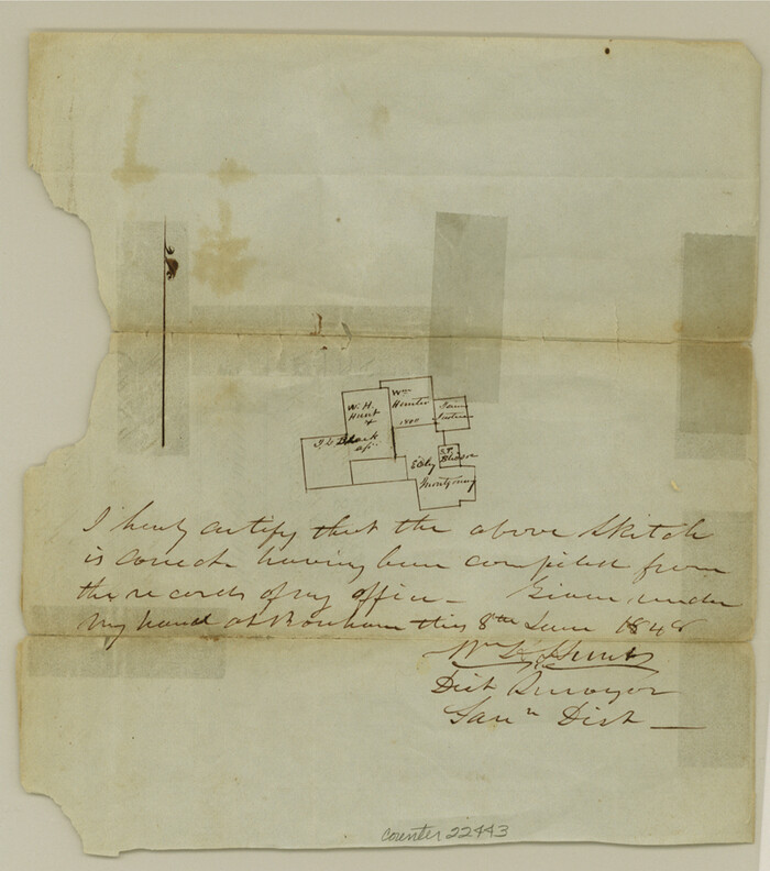

Print $4.00
- Digital $50.00
Fannin County Sketch File 1
1848
Size 9.0 x 7.9 inches
Map/Doc 22443
Borden County


Print $20.00
- Digital $50.00
Borden County
1892
Size 44.1 x 44.1 inches
Map/Doc 66717
Terrell County Working Sketch 61


Print $20.00
- Digital $50.00
Terrell County Working Sketch 61
1962
Size 20.3 x 34.3 inches
Map/Doc 69582
Intracoastal Waterway in Texas - Corpus Christi to Point Isabel including Arroyo Colorado to Mo. Pac. R.R. Bridge Near Harlingen
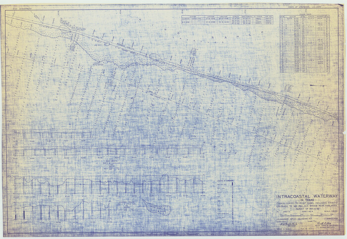

Print $20.00
- Digital $50.00
Intracoastal Waterway in Texas - Corpus Christi to Point Isabel including Arroyo Colorado to Mo. Pac. R.R. Bridge Near Harlingen
1933
Size 28.1 x 40.8 inches
Map/Doc 61847
Fannin County Sketch File 24
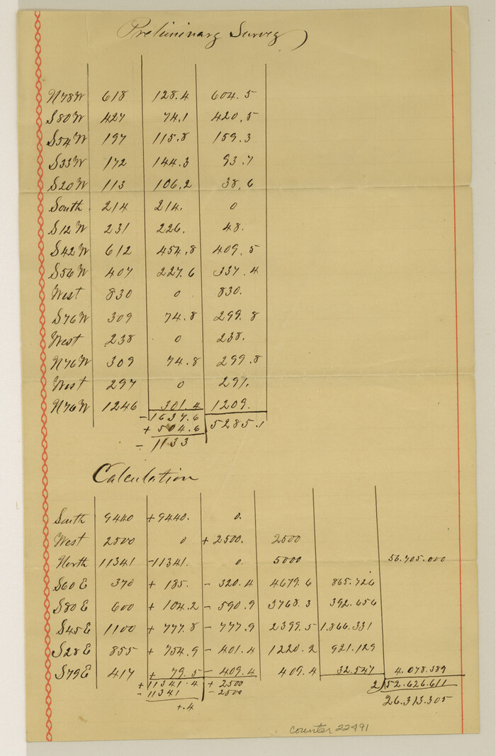

Print $4.00
- Digital $50.00
Fannin County Sketch File 24
Size 13.2 x 8.6 inches
Map/Doc 22491
Ellis County Boundary File 5
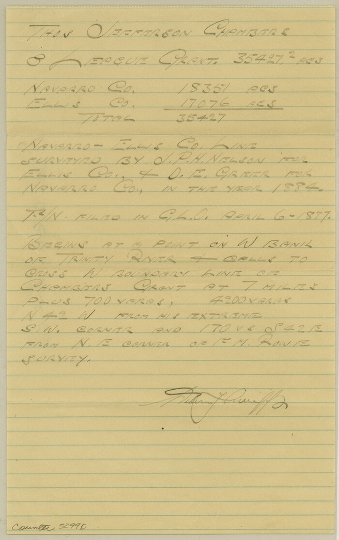

Print $4.00
- Digital $50.00
Ellis County Boundary File 5
Size 11.5 x 7.2 inches
Map/Doc 52990
Die Eisenbahm von dem Missisippi nach dem stillen Ocean (Californien)


Print $20.00
- Digital $50.00
Die Eisenbahm von dem Missisippi nach dem stillen Ocean (Californien)
1856
Size 14.0 x 14.8 inches
Map/Doc 94075
Geographical, Statistical, and Historical Map of Mexico
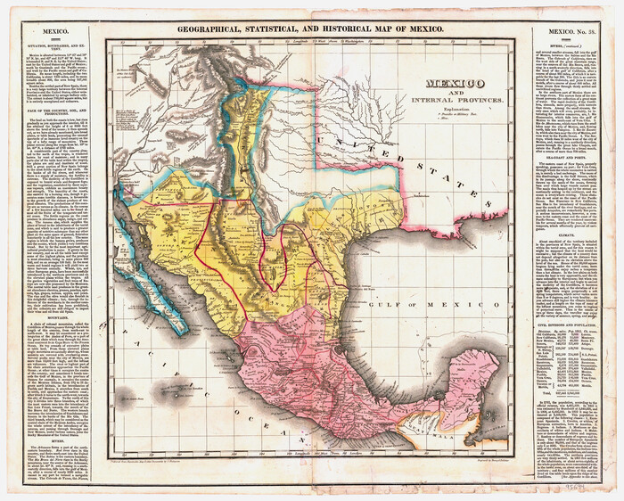

Print $20.00
- Digital $50.00
Geographical, Statistical, and Historical Map of Mexico
1822
Size 18.0 x 22.4 inches
Map/Doc 95694
Engineer's Office, Department of the Gulf Map No. 59, Texas prepared by order of Maj. Gen. N. P. Banks under direction of Capt. P. C. Hains, U. S. Engr. & Chief Engr., Dept. of the Gulf


Print $20.00
- Digital $50.00
Engineer's Office, Department of the Gulf Map No. 59, Texas prepared by order of Maj. Gen. N. P. Banks under direction of Capt. P. C. Hains, U. S. Engr. & Chief Engr., Dept. of the Gulf
1865
Size 18.3 x 27.6 inches
Map/Doc 72717
Gregg County Working Sketch 18
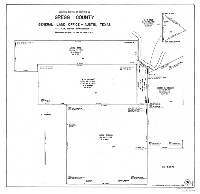

Print $20.00
- Digital $50.00
Gregg County Working Sketch 18
1955
Size 23.3 x 24.0 inches
Map/Doc 63285
You may also like
Current Miscellaneous File 24


Print $26.00
- Digital $50.00
Current Miscellaneous File 24
1953
Size 10.6 x 8.2 inches
Map/Doc 73883
Comal County Sketch File 15
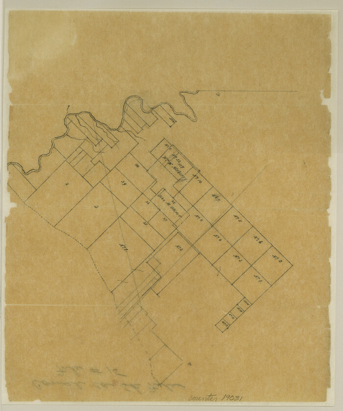

Print $6.00
- Digital $50.00
Comal County Sketch File 15
Size 10.3 x 8.6 inches
Map/Doc 19031
La Salle County
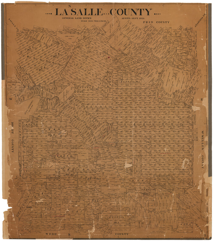

Print $20.00
- Digital $50.00
La Salle County
1923
Size 47.5 x 42.5 inches
Map/Doc 73215
Brewster County Rolled Sketch 146A


Print $40.00
- Digital $50.00
Brewster County Rolled Sketch 146A
Size 62.4 x 45.1 inches
Map/Doc 8527
Brewster County Rolled Sketch 121A


Print $40.00
- Digital $50.00
Brewster County Rolled Sketch 121A
1946
Size 37.4 x 54.5 inches
Map/Doc 8518
Brewster County Sketch File 41
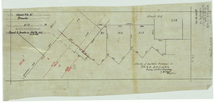

Print $12.00
- Digital $50.00
Brewster County Sketch File 41
Size 6.9 x 14.5 inches
Map/Doc 16304
Menard County Boundary File 10


Print $4.00
- Digital $50.00
Menard County Boundary File 10
Size 14.2 x 8.7 inches
Map/Doc 57096
Trinity County, Texas
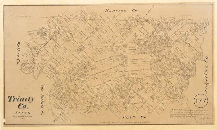

Print $20.00
- Digital $50.00
Trinity County, Texas
1879
Size 15.8 x 23.8 inches
Map/Doc 761
Webb County Working Sketch 29
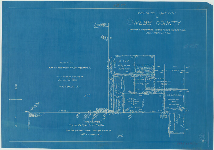

Print $20.00
- Digital $50.00
Webb County Working Sketch 29
1933
Size 14.6 x 20.8 inches
Map/Doc 72394
Tarrant County Sketch File 26
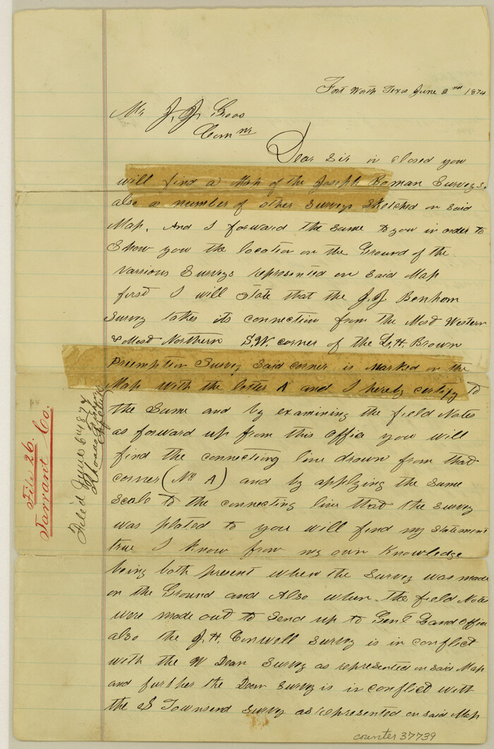

Print $24.00
- Digital $50.00
Tarrant County Sketch File 26
1874
Size 12.7 x 8.4 inches
Map/Doc 37739
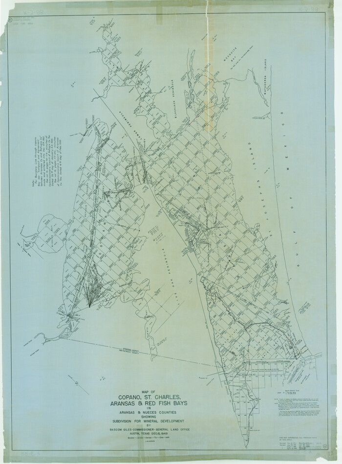
Map of Copano, St. Charles, Aransas & Red Fish Bays in Aransas & Nueces Counties showing subdivision thereof for mineral development

Print $40.00
- Digital $50.00
Map of Copano, St. Charles, Aransas & Red Fish Bays in Aransas & Nueces Counties showing subdivision thereof for mineral development
Size 57.9 x 42.7 inches
Map/Doc 65805
Uvalde County Boundary File 3


Print $28.00
- Digital $50.00
Uvalde County Boundary File 3
Size 13.1 x 8.4 inches
Map/Doc 59558
