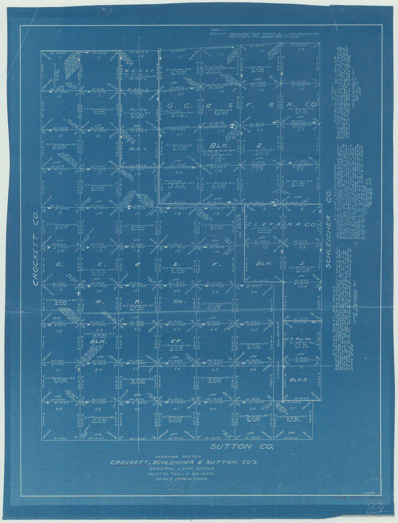
Crockett County Working Sketch 22
-
Map/Doc
68355
-
Collection
General Map Collection
-
Object Dates
6/30/1920 (Creation Date)
-
Counties
Crockett Schleicher Sutton
-
Subjects
Surveying Working Sketch
-
Height x Width
25.6 x 19.5 inches
65.0 x 49.5 cm
-
Scale
1" = 1000 varas
Part of: General Map Collection
Palo Pinto County Working Sketch 4

Print $20.00
- Digital $50.00
Palo Pinto County Working Sketch 4
1913
Map/Doc 71387
Nolan County Sketch File 14

Print $20.00
- Digital $50.00
Nolan County Sketch File 14
1927
Size 32.6 x 20.0 inches
Map/Doc 42164
Grayson County Sketch File 6

Print $8.00
- Digital $50.00
Grayson County Sketch File 6
Size 12.9 x 8.2 inches
Map/Doc 24466
Culberson County Working Sketch 88

Print $20.00
- Digital $50.00
Culberson County Working Sketch 88
1983
Size 32.8 x 37.1 inches
Map/Doc 68542
Pecos County Rolled Sketch 59

Print $20.00
- Digital $50.00
Pecos County Rolled Sketch 59
1922
Size 16.6 x 17.0 inches
Map/Doc 7231

Flight Mission No. DAG-23K, Frame 145, Matagorda County

Print $20.00
- Digital $50.00
Flight Mission No. DAG-23K, Frame 145, Matagorda County
1953
Size 15.7 x 15.8 inches
Map/Doc 86493
Lamar County State Real Property Sketch 1

Print $20.00
- Digital $50.00
Lamar County State Real Property Sketch 1
2013
Size 24.0 x 36.0 inches
Map/Doc 93656
Liberty County Sketch File 64

Print $4.00
- Digital $50.00
Liberty County Sketch File 64
1873
Size 9.9 x 7.9 inches
Map/Doc 30126
Presidio County Sketch File 33

Print $16.00
- Digital $50.00
Presidio County Sketch File 33
1890
Size 14.5 x 8.8 inches
Map/Doc 34476
Matagorda County Sketch File 48

Print $108.00
- Digital $50.00
Matagorda County Sketch File 48
1998
Size 11.1 x 8.6 inches
Map/Doc 31009

You may also like
Flight Mission No. DQN-1K, Frame 136, Calhoun County

Print $20.00
- Digital $50.00
Flight Mission No. DQN-1K, Frame 136, Calhoun County
1953
Size 18.5 x 22.3 inches
Map/Doc 84199
Sketch Showing Original Corners Affecting Block I and Adjacent Surveys from Actual Connections by W. D. Twichell

Print $20.00
- Digital $50.00
Sketch Showing Original Corners Affecting Block I and Adjacent Surveys from Actual Connections by W. D. Twichell
Size 23.4 x 24.3 inches
Map/Doc 90281
[Surveys just south of Runnels County School Land Survey No. 3]
![91552, [Surveys just south of Runnels County School Land Survey No. 3], Twichell Survey Records](https://historictexasmaps.com/wmedia_w700/maps/91552-1.tif.jpg)
Print $20.00
- Digital $50.00
[Surveys just south of Runnels County School Land Survey No. 3]
1926
Size 19.4 x 13.1 inches
Map/Doc 91552
Brazos River, Brazos River Sheet 2

Print $6.00
- Digital $50.00
Brazos River, Brazos River Sheet 2
1926
Size 25.0 x 31.4 inches
Map/Doc 65294
Real County Working Sketch 68

Print $20.00
- Digital $50.00
Real County Working Sketch 68
1973
Size 21.9 x 24.4 inches
Map/Doc 71960
G. C. & S. F. Ry. Alinement [sic] and Right of Way Map of Dallas Branch, Johnson County, Texas
![64650, G. C. & S. F. Ry. Alinement [sic] and Right of Way Map of Dallas Branch, Johnson County, Texas, General Map Collection](https://historictexasmaps.com/wmedia_w700/maps/64650.tif.jpg)
Print $40.00
- Digital $50.00
G. C. & S. F. Ry. Alinement [sic] and Right of Way Map of Dallas Branch, Johnson County, Texas
1925
Size 38.0 x 125.2 inches
Map/Doc 64650
[Unknown Connecting Line]
![92040, [Unknown Connecting Line], Twichell Survey Records](https://historictexasmaps.com/wmedia_w700/maps/92040-1.tif.jpg)
Print $20.00
- Digital $50.00
[Unknown Connecting Line]
Size 28.1 x 23.0 inches
Map/Doc 92040
Andrews County Rolled Sketch 40

Print $20.00
- Digital $50.00
Andrews County Rolled Sketch 40
Size 37.2 x 23.0 inches
Map/Doc 77180
Collin County Sketch File 5

Print $4.00
- Digital $50.00
Collin County Sketch File 5
1852
Size 9.7 x 8.5 inches
Map/Doc 18864
Crosby County Sketch File 19

Print $6.00
- Digital $50.00
Crosby County Sketch File 19
1910
Size 8.2 x 8.1 inches
Map/Doc 20084
Outer Continental Shelf Leasing Maps (Texas Offshore Operations)

Print $20.00
- Digital $50.00
Outer Continental Shelf Leasing Maps (Texas Offshore Operations)
1954
Size 22.3 x 17.3 inches
Map/Doc 75833
Nacogdoches County Sketch File 16

Print $20.00
- Digital $50.00
Nacogdoches County Sketch File 16
1945
Size 24.6 x 18.5 inches
Map/Doc 42155