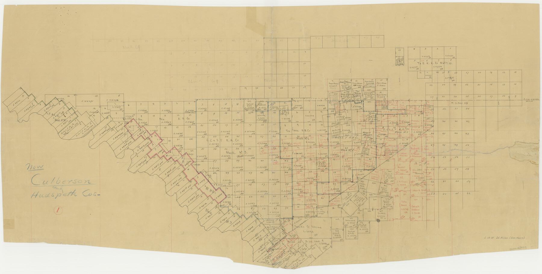
Culberson County Working Sketch 1
-
Map/Doc
68453
-
Collection
General Map Collection
-
Counties
Culberson Hudspeth
-
Subjects
Surveying Working Sketch
-
Height x Width
21.6 x 42.7 inches
54.9 x 108.5 cm
Part of: General Map Collection
Flight Mission No. DCL-7C, Frame 57, Kenedy County

Print $20.00
- Digital $50.00
Flight Mission No. DCL-7C, Frame 57, Kenedy County
1943
Size 15.4 x 15.2 inches
Map/Doc 86045
McMullen County Sketch File 21

Print $4.00
- Digital $50.00
McMullen County Sketch File 21
1876
Size 10.0 x 8.0 inches
Map/Doc 31375
Gregg County Boundary File 7

Print $20.00
- Digital $50.00
Gregg County Boundary File 7
Size 5.2 x 8.6 inches
Map/Doc 54009
Map of Defunct and Ghost Counties in Texas

Print $20.00
- Digital $50.00
Map of Defunct and Ghost Counties in Texas
1939
Size 17.4 x 18.6 inches
Map/Doc 4805
Plot of a survey made to connect the surveys in Jackson County with those heretofore made in connection with Colorado County

Print $2.00
- Digital $50.00
Plot of a survey made to connect the surveys in Jackson County with those heretofore made in connection with Colorado County
1847
Size 12.8 x 7.7 inches
Map/Doc 188
Hardeman County Sketch File 26

Print $40.00
- Digital $50.00
Hardeman County Sketch File 26
Size 16.3 x 13.2 inches
Map/Doc 25037
The Coast of New Spain from Neuva Vera Cruz to Triste Island

Print $20.00
- Digital $50.00
The Coast of New Spain from Neuva Vera Cruz to Triste Island
1775
Size 21.0 x 28.9 inches
Map/Doc 95919
Map of Tom Green County

Print $40.00
- Digital $50.00
Map of Tom Green County
1892
Size 42.9 x 48.2 inches
Map/Doc 63069
Travis County Sketch File 73

Print $8.00
- Digital $50.00
Travis County Sketch File 73
1848
Size 12.8 x 8.3 inches
Map/Doc 38464
Lampasas County Sketch File X

Print $40.00
- Digital $50.00
Lampasas County Sketch File X
1909
Size 13.2 x 17.4 inches
Map/Doc 29386
Flight Mission No. BRE-3P, Frame 79, Nueces County

Print $20.00
- Digital $50.00
Flight Mission No. BRE-3P, Frame 79, Nueces County
1956
Size 18.6 x 22.5 inches
Map/Doc 86820
Ochiltree County Boundary File 1b

Print $16.00
- Digital $50.00
Ochiltree County Boundary File 1b
Size 8.6 x 8.4 inches
Map/Doc 57666
You may also like
[PSL Block A-12]
![93229, [PSL Block A-12], Twichell Survey Records](https://historictexasmaps.com/wmedia_w700/maps/93229-1.tif.jpg)
Print $2.00
- Digital $50.00
[PSL Block A-12]
1953
Size 8.7 x 13.5 inches
Map/Doc 93229
Presidio County Working Sketch 99
Print $20.00
- Digital $50.00
Presidio County Working Sketch 99
1979
Size 26.8 x 39.8 inches
Map/Doc 71776
Phelps & Watson's historical and military map of the border & southern states

Print $20.00
- Digital $50.00
Phelps & Watson's historical and military map of the border & southern states
1863
Size 26.1 x 37.1 inches
Map/Doc 97083
[Map of Area near Alamo showing proposed fortifications]
![88603, [Map of Area near Alamo showing proposed fortifications], National Archives Digital Map Collection](https://historictexasmaps.com/wmedia_w700/maps/88603.tif.jpg)
Print $20.00
[Map of Area near Alamo showing proposed fortifications]
1863
Size 31.9 x 27.7 inches
Map/Doc 88603
Map of Lampasas County

Print $20.00
- Digital $50.00
Map of Lampasas County
1856
Size 19.7 x 25.3 inches
Map/Doc 3792
Montgomery County Rolled Sketch 35

Print $40.00
- Digital $50.00
Montgomery County Rolled Sketch 35
Size 36.7 x 51.3 inches
Map/Doc 9543
Mitchell County Sketch File 7

Print $20.00
- Digital $50.00
Mitchell County Sketch File 7
1906
Size 19.4 x 12.4 inches
Map/Doc 12096
Childress County, Texas

Print $20.00
- Digital $50.00
Childress County, Texas
1892
Size 29.3 x 22.0 inches
Map/Doc 697
Presidio County Working Sketch 68

Print $20.00
- Digital $50.00
Presidio County Working Sketch 68
1960
Size 45.8 x 33.1 inches
Map/Doc 71745
Flight Mission No. DCL-6C, Frame 46, Kenedy County

Print $20.00
- Digital $50.00
Flight Mission No. DCL-6C, Frame 46, Kenedy County
1943
Size 18.6 x 22.3 inches
Map/Doc 85888
Index sheet to accompany map of survey for connecting the inland waters along margin of the Gulf of Mexico from Donaldsonville in Louisiana to the Rio Grande River in Texas

Print $20.00
- Digital $50.00
Index sheet to accompany map of survey for connecting the inland waters along margin of the Gulf of Mexico from Donaldsonville in Louisiana to the Rio Grande River in Texas
1874
Size 18.1 x 26.9 inches
Map/Doc 72694
Stephens County Working Sketch 2

Print $20.00
- Digital $50.00
Stephens County Working Sketch 2
1918
Size 17.1 x 21.1 inches
Map/Doc 63945