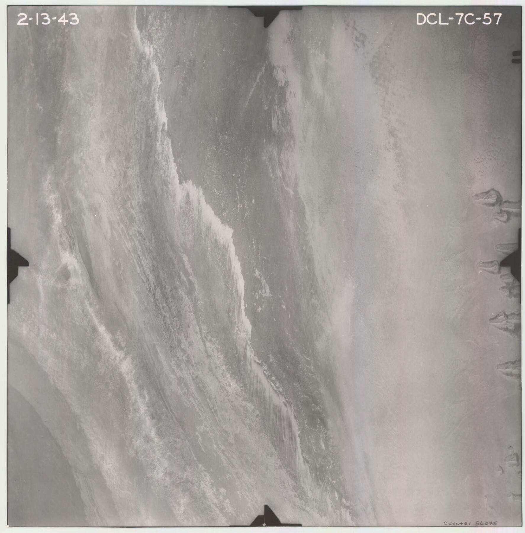
Flight Mission No. DCL-7C, Frame 57, Kenedy County
DCL-7C-57
-
Map/Doc
86045
-
Collection
General Map Collection
-
Object Dates
1943/2/13 (Creation Date)
-
People and Organizations
U. S. Department of Agriculture (Publisher)
-
Counties
Kenedy
-
Subjects
Aerial Photograph
-
Height x Width
15.4 x 15.2 inches
39.1 x 38.6 cm
-
Comments
Flown by Aerial Surveys of Pittsburgh, Inc. of Pittsburgh, Pennsylvania.
Part of: General Map Collection
[Sketch for Mineral Application 15273 - Sabine River Bed]
![65576, [Sketch for Mineral Application 15273 - Sabine River Bed], General Map Collection](https://historictexasmaps.com/wmedia_w700/maps/65576.tif.jpg)
Print $20.00
- Digital $50.00
[Sketch for Mineral Application 15273 - Sabine River Bed]
1926
Size 45.4 x 28.1 inches
Map/Doc 65576
Rusk County Rolled Sketch 3

Print $20.00
- Digital $50.00
Rusk County Rolled Sketch 3
Size 21.8 x 38.2 inches
Map/Doc 7542
Aransas County Rolled Sketch 33

Print $20.00
- Digital $50.00
Aransas County Rolled Sketch 33
1997
Size 24.5 x 36.8 inches
Map/Doc 78495
Winkler County

Print $20.00
- Digital $50.00
Winkler County
1890
Size 22.8 x 18.5 inches
Map/Doc 4160
Duval County Sketch File 19a

Print $40.00
- Digital $50.00
Duval County Sketch File 19a
1880
Size 12.7 x 14.2 inches
Map/Doc 21318

Flight Mission No. DAG-28K, Frame 27, Matagorda County

Print $20.00
- Digital $50.00
Flight Mission No. DAG-28K, Frame 27, Matagorda County
1953
Size 16.2 x 16.1 inches
Map/Doc 86595
Carson County Working Sketch 3

Print $20.00
- Digital $50.00
Carson County Working Sketch 3
1922
Size 18.3 x 26.3 inches
Map/Doc 67874
Bee County Working Sketch 14

Print $20.00
- Digital $50.00
Bee County Working Sketch 14
1948
Size 22.2 x 17.7 inches
Map/Doc 67264
Limestone County Working Sketch 27

Print $20.00
- Digital $50.00
Limestone County Working Sketch 27
2008
Size 34.4 x 35.6 inches
Map/Doc 88767
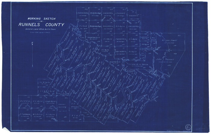
Runnels County Working Sketch 6
Print $20.00
- Digital $50.00
Runnels County Working Sketch 6
1907
Size 19.5 x 31.0 inches
Map/Doc 63602
Old Miscellaneous File 8

Print $15.00
- Digital $50.00
Old Miscellaneous File 8
1853
Size 16.7 x 10.5 inches
Map/Doc 75427
You may also like
Brewster County Sketch File N-4

Print $6.00
- Digital $50.00
Brewster County Sketch File N-4
1904
Size 8.7 x 13.2 inches
Map/Doc 15602
Hale County Sketch File 10

Print $6.00
- Digital $50.00
Hale County Sketch File 10
1895
Size 16.3 x 9.4 inches
Map/Doc 24737
Pecos County Rolled Sketch 112

Print $20.00
- Digital $50.00
Pecos County Rolled Sketch 112
1941
Size 39.0 x 37.0 inches
Map/Doc 9720

Brewster County Sketch File 51

Print $20.00
- Digital $50.00
Brewster County Sketch File 51
1996
Size 13.8 x 8.3 inches
Map/Doc 16352
Marion County Working Sketch 40

Print $20.00
- Digital $50.00
Marion County Working Sketch 40
1992
Size 42.9 x 30.0 inches
Map/Doc 70816
Surveys made on La Parita, March 1847

Print $2.00
- Digital $50.00
Surveys made on La Parita, March 1847
1847
Size 10.1 x 7.5 inches
Map/Doc 222
Brazoria County, Texas

Print $20.00
- Digital $50.00
Brazoria County, Texas
1877
Size 24.7 x 21.7 inches
Map/Doc 425
General Highway Map, Hockley County, Texas

Print $20.00
General Highway Map, Hockley County, Texas
1961
Size 18.2 x 24.6 inches
Map/Doc 79522
Jefferson County Aerial Photograph Index Sheet 7

Print $20.00
- Digital $50.00
Jefferson County Aerial Photograph Index Sheet 7
1953
Size 23.3 x 16.9 inches
Map/Doc 83711
Fort Bend County Sketch File 11a

Print $34.00
- Digital $50.00
Fort Bend County Sketch File 11a
1888
Size 14.3 x 9.1 inches
Map/Doc 22901
A Little Journey through the Lower Valley of the Rio Grande - The Magic Valley of Texas

A Little Journey through the Lower Valley of the Rio Grande - The Magic Valley of Texas
1928
Map/Doc 96741