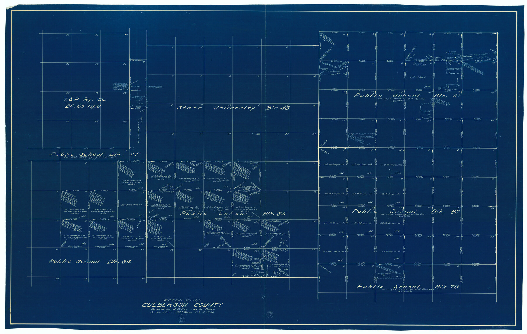
Culberson County Working Sketch 21
-
Map/Doc
68473
-
Collection
General Map Collection
-
Object Dates
2/10/1936 (Creation Date)
-
People and Organizations
A. Clark (Draftsman)
-
Counties
Culberson
-
Subjects
Surveying Working Sketch
-
Height x Width
36.7 x 57.8 inches
93.2 x 146.8 cm
-
Scale
1" = 600 varas
Part of: General Map Collection
Comanche County Sketch File 20

Print $40.00
- Digital $50.00
Comanche County Sketch File 20
Size 15.5 x 12.6 inches
Map/Doc 19103
Dallas County Rolled Sketch 4

Print $20.00
- Digital $50.00
Dallas County Rolled Sketch 4
1954
Size 13.1 x 24.2 inches
Map/Doc 5687

Jasper County Rolled Sketch 4

Print $20.00
- Digital $50.00
Jasper County Rolled Sketch 4
1947
Size 40.0 x 31.1 inches
Map/Doc 6351
Nueces County Rolled Sketch 47

Print $20.00
- Digital $50.00
Nueces County Rolled Sketch 47
1953
Size 31.3 x 44.6 inches
Map/Doc 6886
Upton County Sketch File 37

Print $6.00
- Digital $50.00
Upton County Sketch File 37
1953
Size 11.3 x 8.8 inches
Map/Doc 38900
Terry County Sketch File 12

Print $20.00
- Digital $50.00
Terry County Sketch File 12
Size 10.9 x 43.2 inches
Map/Doc 10396
Potter County Sketch File 3

Print $20.00
- Digital $50.00
Potter County Sketch File 3
1883
Size 37.5 x 47.6 inches
Map/Doc 10574
Moore County Sketch File 9

Print $4.00
- Digital $50.00
Moore County Sketch File 9
1910
Size 9.0 x 6.9 inches
Map/Doc 31947
Leon County Working Sketch 49

Print $20.00
- Digital $50.00
Leon County Working Sketch 49
1981
Size 23.9 x 24.7 inches
Map/Doc 70448
Wise County Working Sketch 10

Print $20.00
- Digital $50.00
Wise County Working Sketch 10
Size 17.4 x 18.4 inches
Map/Doc 72624
Gregg County Boundary File 4

Print $14.00
- Digital $50.00
Gregg County Boundary File 4
Size 14.1 x 8.6 inches
Map/Doc 53992
You may also like
Flight Mission No. DCL-4C, Frame 96, Kenedy County

Print $20.00
- Digital $50.00
Flight Mission No. DCL-4C, Frame 96, Kenedy County
1943
Size 18.6 x 22.3 inches
Map/Doc 85817
Hardeman County Aerial Photograph Index Sheet 3

Print $20.00
- Digital $50.00
Hardeman County Aerial Photograph Index Sheet 3
1950
Size 20.3 x 17.0 inches
Map/Doc 83699
Midland County Rolled Sketch 13

Print $20.00
- Digital $50.00
Midland County Rolled Sketch 13
Size 22.0 x 19.4 inches
Map/Doc 6768
Crockett County Working Sketch 90

Print $20.00
- Digital $50.00
Crockett County Working Sketch 90
1978
Size 45.2 x 43.3 inches
Map/Doc 68423
[Connecting line from southwest corner of S. K. & K. Blk M6 to southwest corner I. & G. N. Blk. 6]
![90411, [Connecting line from southwest corner of S. K. & K. Blk M6 to southwest corner I. & G. N. Blk. 6], Twichell Survey Records](https://historictexasmaps.com/wmedia_w700/maps/90411-1.tif.jpg)
Print $20.00
- Digital $50.00
[Connecting line from southwest corner of S. K. & K. Blk M6 to southwest corner I. & G. N. Blk. 6]
Size 26.4 x 26.9 inches
Map/Doc 90411
From Citizens of Washington County Living East of the Brazos River and West of the Navasota River for the Creation of a New County (Unnamed), Undated

Print $20.00
From Citizens of Washington County Living East of the Brazos River and West of the Navasota River for the Creation of a New County (Unnamed), Undated
2020
Size 20.4 x 21.7 inches
Map/Doc 96408
Ile de la Réunion, Colonie Française (Océan indien)

Print $20.00
- Digital $50.00
Ile de la Réunion, Colonie Française (Océan indien)
Size 14.5 x 20.5 inches
Map/Doc 94451
Nueces County Rolled Sketch 100

Print $20.00
- Digital $50.00
Nueces County Rolled Sketch 100
Size 30.6 x 40.7 inches
Map/Doc 10209
Menard County Working Sketch 26

Print $20.00
- Digital $50.00
Menard County Working Sketch 26
1961
Size 28.6 x 36.1 inches
Map/Doc 70973
[Township 3 North, Block 33]
![91226, [Township 3 North, Block 33], Twichell Survey Records](https://historictexasmaps.com/wmedia_w700/maps/91226-1.tif.jpg)
Print $20.00
- Digital $50.00
[Township 3 North, Block 33]
Size 15.0 x 18.0 inches
Map/Doc 91226
[South part Block AX and A21 and part of Block C44 and League 305]
![90798, [South part Block AX and A21 and part of Block C44 and League 305], Twichell Survey Records](https://historictexasmaps.com/wmedia_w700/maps/90798-1.tif.jpg)
Print $40.00
- Digital $50.00
[South part Block AX and A21 and part of Block C44 and League 305]
Size 49.3 x 23.5 inches
Map/Doc 90798
![91783, [Block M-19], Twichell Survey Records](https://historictexasmaps.com/wmedia_w700/maps/91783-1.tif.jpg)