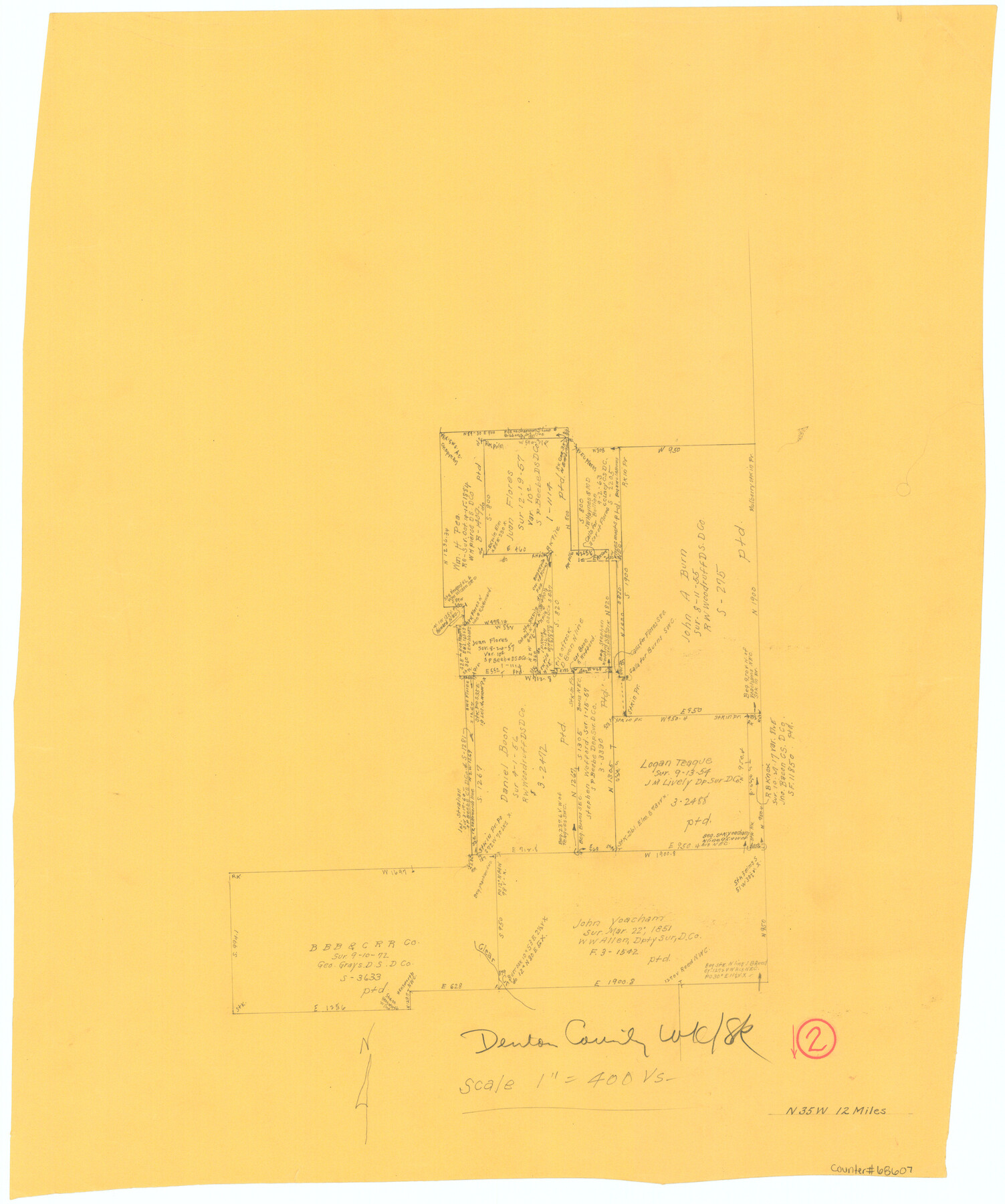
Denton County Working Sketch 2
-
Map/Doc
68607
-
Collection
General Map Collection
-
Counties
Denton
-
Subjects
Surveying Working Sketch
-
Height x Width
21.2 x 17.7 inches
53.9 x 45.0 cm
-
Scale
1" = 400 varas
Part of: General Map Collection
Northeast Part of Crockett County

Print $20.00
- Digital $50.00
Northeast Part of Crockett County
1976
Size 35.6 x 47.0 inches
Map/Doc 95469
Eastland County Working Sketch 34

Print $20.00
- Digital $50.00
Eastland County Working Sketch 34
1960
Size 30.8 x 28.6 inches
Map/Doc 68815
Bosque County Working Sketch 9

Print $20.00
- Digital $50.00
Bosque County Working Sketch 9
1943
Size 11.2 x 18.3 inches
Map/Doc 67442
Hopkins County Sketch File 26

Print $4.00
- Digital $50.00
Hopkins County Sketch File 26
Size 8.4 x 6.1 inches
Map/Doc 26736
Blocks 56 and 57, Townships 1 and 2, resurvey of Texas & Pacific Railway Lands in the eighty mile reservation

Print $20.00
- Digital $50.00
Blocks 56 and 57, Townships 1 and 2, resurvey of Texas & Pacific Railway Lands in the eighty mile reservation
1931
Size 41.4 x 31.4 inches
Map/Doc 2246
Liberty County Working Sketch 62

Print $20.00
- Digital $50.00
Liberty County Working Sketch 62
1969
Size 22.1 x 28.3 inches
Map/Doc 70522
Falls County Working Sketch 1

Print $20.00
- Digital $50.00
Falls County Working Sketch 1
1922
Size 23.0 x 33.1 inches
Map/Doc 69176
Flight Mission No. CRC-3R, Frame 165, Chambers County

Print $20.00
- Digital $50.00
Flight Mission No. CRC-3R, Frame 165, Chambers County
1956
Size 18.8 x 22.5 inches
Map/Doc 84847
[Beaumont, Sour Lake and Western Ry. Right of Way and Alignment - Frisco]
![64106, [Beaumont, Sour Lake and Western Ry. Right of Way and Alignment - Frisco], General Map Collection](https://historictexasmaps.com/wmedia_w700/maps/64106.tif.jpg)
Print $20.00
- Digital $50.00
[Beaumont, Sour Lake and Western Ry. Right of Way and Alignment - Frisco]
1910
Size 19.9 x 45.9 inches
Map/Doc 64106
[Right of Way & Track Map, The Texas & Pacific Ry. Co. Main Line]
![64664, [Right of Way & Track Map, The Texas & Pacific Ry. Co. Main Line], General Map Collection](https://historictexasmaps.com/wmedia_w700/maps/64664.tif.jpg)
Print $20.00
- Digital $50.00
[Right of Way & Track Map, The Texas & Pacific Ry. Co. Main Line]
Size 11.0 x 18.5 inches
Map/Doc 64664
Travis County Rolled Sketch 28

Print $20.00
- Digital $50.00
Travis County Rolled Sketch 28
1941
Size 22.7 x 27.0 inches
Map/Doc 8030
Liberty County Sketch File 50

Print $42.00
- Digital $50.00
Liberty County Sketch File 50
1879
Size 12.6 x 8.4 inches
Map/Doc 30014
You may also like


Uvalde County Working Sketch 65

Print $20.00
- Digital $50.00
Uvalde County Working Sketch 65
Size 34.8 x 43.0 inches
Map/Doc 69696
Jones County Working Sketch 4

Print $20.00
- Digital $50.00
Jones County Working Sketch 4
1946
Size 35.5 x 20.6 inches
Map/Doc 66642
Sutton County

Print $40.00
- Digital $50.00
Sutton County
1941
Size 43.9 x 56.1 inches
Map/Doc 73296
[Cotton Belt, St. Louis Southwestern Railway of Texas, Alignment through Smith County]
![64379, [Cotton Belt, St. Louis Southwestern Railway of Texas, Alignment through Smith County], General Map Collection](https://historictexasmaps.com/wmedia_w700/maps/64379.tif.jpg)
Print $20.00
- Digital $50.00
[Cotton Belt, St. Louis Southwestern Railway of Texas, Alignment through Smith County]
1903
Size 22.6 x 30.1 inches
Map/Doc 64379
[Surveys East of river copied from U.S. map of Township No. 6 South, Range No. 9 West of the Indian Meridian, Oklahoma]
![75186, [Surveys East of river copied from U.S. map of Township No. 6 South, Range No. 9 West of the Indian Meridian, Oklahoma], General Map Collection](https://historictexasmaps.com/wmedia_w700/maps/75186.tif.jpg)
Print $2.00
- Digital $50.00
[Surveys East of river copied from U.S. map of Township No. 6 South, Range No. 9 West of the Indian Meridian, Oklahoma]
Size 13.3 x 9.2 inches
Map/Doc 75186
Sulphur River, Ringo Crossing Sheet

Print $20.00
- Digital $50.00
Sulphur River, Ringo Crossing Sheet
1933
Size 30.5 x 35.9 inches
Map/Doc 65162
[Bastrop County line]
![65, [Bastrop County line], General Map Collection](https://historictexasmaps.com/wmedia_w700/maps/65.tif.jpg)
Print $2.00
- Digital $50.00
[Bastrop County line]
1841
Size 7.8 x 6.3 inches
Map/Doc 65
Flight Mission No. CRC-5R, Frame 31, Chambers County

Print $20.00
- Digital $50.00
Flight Mission No. CRC-5R, Frame 31, Chambers County
1956
Size 18.5 x 22.4 inches
Map/Doc 84950
General Highway Map, King County, Texas

Print $20.00
General Highway Map, King County, Texas
1940
Size 18.3 x 24.8 inches
Map/Doc 79161
Harris County Sketch File 102

Print $163.00
- Digital $50.00
Harris County Sketch File 102
1985
Size 11.4 x 8.9 inches
Map/Doc 25915