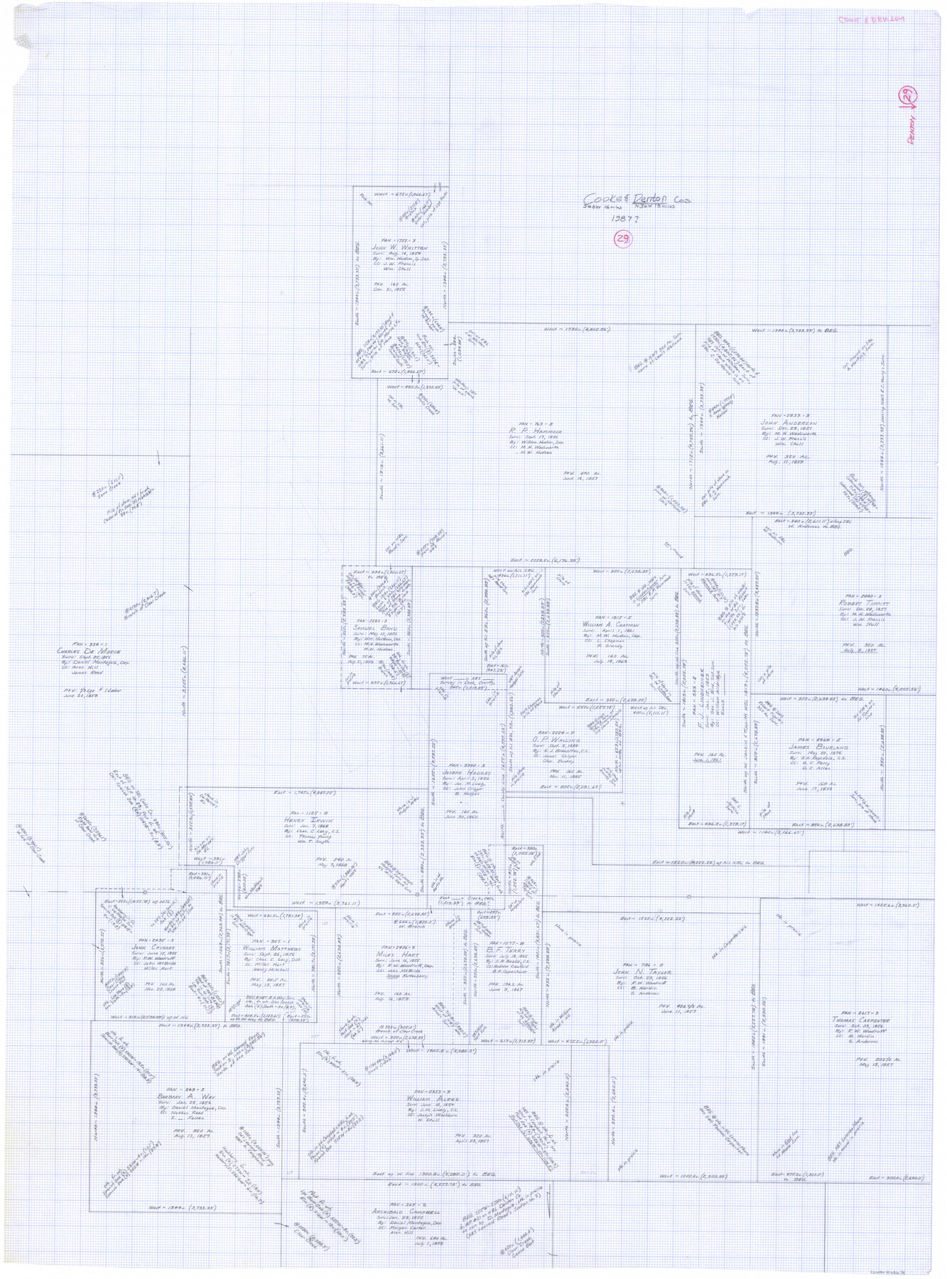
Denton County Working Sketch 29
-
Map/Doc
68634
-
Collection
General Map Collection
-
Object Dates
[1987 ca.] (Creation Date)
-
Counties
Denton Cooke
-
Subjects
Surveying Working Sketch
-
Height x Width
49.7 x 36.8 inches
126.2 x 93.5 cm
Part of: General Map Collection

Newton County Rolled Sketch 19

Print $20.00
- Digital $50.00
Newton County Rolled Sketch 19
1956
Size 42.1 x 33.5 inches
Map/Doc 6848
Wise County Working Sketch 10

Print $20.00
- Digital $50.00
Wise County Working Sketch 10
Size 17.4 x 18.4 inches
Map/Doc 72624
McMullen County Working Sketch 29

Print $40.00
- Digital $50.00
McMullen County Working Sketch 29
1956
Size 59.0 x 37.2 inches
Map/Doc 70730
Concho County Sketch File 29

Print $12.00
- Digital $50.00
Concho County Sketch File 29
1886
Size 11.7 x 9.0 inches
Map/Doc 19169
Aransas County Working Sketch 8

Print $20.00
- Digital $50.00
Aransas County Working Sketch 8
1947
Size 24.7 x 24.2 inches
Map/Doc 67175
Gregg County Sketch File 1

Print $4.00
- Digital $50.00
Gregg County Sketch File 1
1872
Size 8.0 x 10.1 inches
Map/Doc 24551
Flight Mission No. DQN-7K, Frame 16, Calhoun County

Print $20.00
- Digital $50.00
Flight Mission No. DQN-7K, Frame 16, Calhoun County
1953
Size 18.5 x 22.1 inches
Map/Doc 84467
Comanche County Working Sketch 10

Print $20.00
- Digital $50.00
Comanche County Working Sketch 10
1954
Size 21.4 x 18.0 inches
Map/Doc 68144
Caldwell County Working Sketch 8

Print $20.00
- Digital $50.00
Caldwell County Working Sketch 8
1964
Size 29.1 x 22.8 inches
Map/Doc 67838
Coke County Sketch File 13a

Print $20.00
- Digital $50.00
Coke County Sketch File 13a
Size 20.3 x 19.5 inches
Map/Doc 11107
Sabine County Working Sketch 10

Print $20.00
- Digital $50.00
Sabine County Working Sketch 10
1925
Size 18.6 x 24.2 inches
Map/Doc 63681
You may also like
Live Oak County Rolled Sketch 5

Print $20.00
- Digital $50.00
Live Oak County Rolled Sketch 5
1947
Size 33.6 x 32.2 inches
Map/Doc 9454
[Surveys around the Martha Barker survey]
![90236, [Surveys around the Martha Barker survey], Twichell Survey Records](https://historictexasmaps.com/wmedia_w700/maps/90236-1.tif.jpg)
Print $20.00
- Digital $50.00
[Surveys around the Martha Barker survey]
Size 24.5 x 18.1 inches
Map/Doc 90236
Navarro County Working Sketch 9

Print $20.00
- Digital $50.00
Navarro County Working Sketch 9
1956
Size 22.8 x 20.6 inches
Map/Doc 71239
Starr County Sketch File D

Print $8.00
- Digital $50.00
Starr County Sketch File D
1892
Size 14.2 x 8.7 inches
Map/Doc 36915
Bexar County Sketch File 1a

Print $24.00
- Digital $50.00
Bexar County Sketch File 1a
1847
Size 12.7 x 8.2 inches
Map/Doc 14468
Brewster County Rolled Sketch 87

Print $40.00
- Digital $50.00
Brewster County Rolled Sketch 87
1947
Size 130.7 x 40.4 inches
Map/Doc 8497
Van Zandt County Sketch File 2a

Print $42.00
- Digital $50.00
Van Zandt County Sketch File 2a
Size 12.2 x 12.0 inches
Map/Doc 39363
Flight Mission No. DCL-4C, Frame 96, Kenedy County

Print $20.00
- Digital $50.00
Flight Mission No. DCL-4C, Frame 96, Kenedy County
1943
Size 18.6 x 22.3 inches
Map/Doc 85817
[Office Sketch Showing Surveys North of Loma Blanca Grant, Brooks County, Texas]
![412, [Office Sketch Showing Surveys North of Loma Blanca Grant, Brooks County, Texas], Maddox Collection](https://historictexasmaps.com/wmedia_w700/maps/0412.tif.jpg)
Print $20.00
- Digital $50.00
[Office Sketch Showing Surveys North of Loma Blanca Grant, Brooks County, Texas]
Size 16.6 x 19.6 inches
Map/Doc 412
Gulf Oil Corp. Fishgide - Freeport

Gulf Oil Corp. Fishgide - Freeport
1960
Size 12.3 x 22.4 inches
Map/Doc 75978
Kent County Working Sketch 20

Print $40.00
- Digital $50.00
Kent County Working Sketch 20
1980
Size 50.7 x 44.1 inches
Map/Doc 70027
Dickens County Sketch File 15

Print $4.00
- Digital $50.00
Dickens County Sketch File 15
Size 12.6 x 8.0 inches
Map/Doc 20973