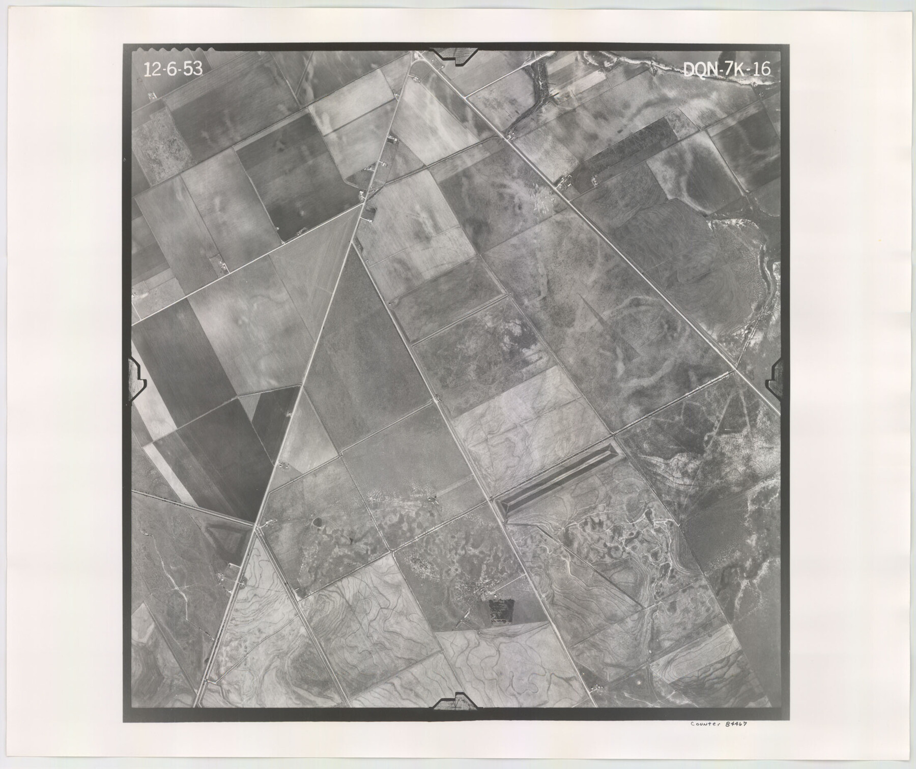
Flight Mission No. DQN-7K, Frame 16, Calhoun County
DQN-7K-16
-
Map/Doc
84467
-
Collection
General Map Collection
-
Object Dates
1953/12/6 (Creation Date)
-
People and Organizations
U. S. Department of Agriculture (Publisher)
-
Counties
Calhoun
-
Subjects
Aerial Photograph
-
Height x Width
18.5 x 22.1 inches
47.0 x 56.1 cm
-
Comments
Flown by Aero Exploration Company of Tulsa, Oklahoma.
Part of: General Map Collection
Val Verde County Sketch File Z4

Print $8.00
- Digital $50.00
Val Verde County Sketch File Z4
1885
Size 14.3 x 8.9 inches
Map/Doc 39134
Galveston County NRC Article 33.136 Sketch 75

Print $32.00
- Digital $50.00
Galveston County NRC Article 33.136 Sketch 75
2014
Size 24.0 x 36.0 inches
Map/Doc 95118
Presidio County Rolled Sketch 115

Print $20.00
- Digital $50.00
Presidio County Rolled Sketch 115
1980
Size 19.3 x 22.2 inches
Map/Doc 7391
Zavala County Rolled Sketch 12

Print $20.00
- Digital $50.00
Zavala County Rolled Sketch 12
Size 33.4 x 21.0 inches
Map/Doc 8320
Controlled Mosaic by Jack Amman Photogrammetric Engineers, Inc - Sheet 31

Print $20.00
- Digital $50.00
Controlled Mosaic by Jack Amman Photogrammetric Engineers, Inc - Sheet 31
1954
Size 20.0 x 24.0 inches
Map/Doc 83484
Limestone County Sketch File 10

Print $4.00
- Digital $50.00
Limestone County Sketch File 10
Size 8.4 x 9.4 inches
Map/Doc 30171
Flight Mission No. DQN-2K, Frame 24, Calhoun County

Print $20.00
- Digital $50.00
Flight Mission No. DQN-2K, Frame 24, Calhoun County
1953
Size 18.6 x 22.2 inches
Map/Doc 84231
Orange County Rolled Sketch 13

Print $20.00
- Digital $50.00
Orange County Rolled Sketch 13
Size 19.0 x 24.2 inches
Map/Doc 7180
Burnet County Working Sketch 11

Print $20.00
- Digital $50.00
Burnet County Working Sketch 11
1975
Size 26.5 x 28.9 inches
Map/Doc 67854

Haskell County Working Sketch 5

Print $20.00
- Digital $50.00
Haskell County Working Sketch 5
1945
Size 22.2 x 37.2 inches
Map/Doc 66063
Wood County Working Sketch 17

Print $20.00
- Digital $50.00
Wood County Working Sketch 17
Size 24.0 x 31.3 inches
Map/Doc 62017
You may also like
Midland County Working Sketch 11

Print $20.00
- Digital $50.00
Midland County Working Sketch 11
1951
Size 23.2 x 19.2 inches
Map/Doc 70991
Survey of a Portion of Lot. No. 1 of Spear League

Print $20.00
- Digital $50.00
Survey of a Portion of Lot. No. 1 of Spear League
1911
Size 12.2 x 24.2 inches
Map/Doc 477
Dimmit County, Texas

Print $20.00
- Digital $50.00
Dimmit County, Texas
1879
Size 22.6 x 28.6 inches
Map/Doc 5031
[Map Showing Fence Line between Blocks XIT and LS]
![91408, [Map Showing Fence Line between Blocks XIT and LS], Twichell Survey Records](https://historictexasmaps.com/wmedia_w700/maps/91408-1.tif.jpg)
Print $20.00
- Digital $50.00
[Map Showing Fence Line between Blocks XIT and LS]
1886
Size 18.4 x 16.7 inches
Map/Doc 91408
Kimble County Working Sketch 10

Print $20.00
- Digital $50.00
Kimble County Working Sketch 10
1921
Size 14.7 x 15.5 inches
Map/Doc 70078
Map of the Fort Worth & Denver City Railway, Wichita County, Texas

Print $40.00
- Digital $50.00
Map of the Fort Worth & Denver City Railway, Wichita County, Texas
1885
Size 25.2 x 122.4 inches
Map/Doc 64454
Garza County Working Sketch 10

Print $20.00
- Digital $50.00
Garza County Working Sketch 10
1953
Size 11.1 x 18.7 inches
Map/Doc 63157
Schleicher County Sketch File 39

Print $9.00
- Digital $50.00
Schleicher County Sketch File 39
1958
Size 14.8 x 9.4 inches
Map/Doc 36538
Liberty County Rolled Sketch 15

Print $20.00
- Digital $50.00
Liberty County Rolled Sketch 15
2015
Size 36.1 x 24.3 inches
Map/Doc 94022
Randall County Working Sketch 2

Print $20.00
- Digital $50.00
Randall County Working Sketch 2
1980
Size 28.6 x 31.3 inches
Map/Doc 71839
Flight Mission No. DQN-3K, Frame 4, Calhoun County

Print $20.00
- Digital $50.00
Flight Mission No. DQN-3K, Frame 4, Calhoun County
1953
Size 17.0 x 18.9 inches
Map/Doc 84336
Flight Mission No. BRE-2P, Frame 106, Nueces County

Print $20.00
- Digital $50.00
Flight Mission No. BRE-2P, Frame 106, Nueces County
1956
Size 18.7 x 22.8 inches
Map/Doc 86791