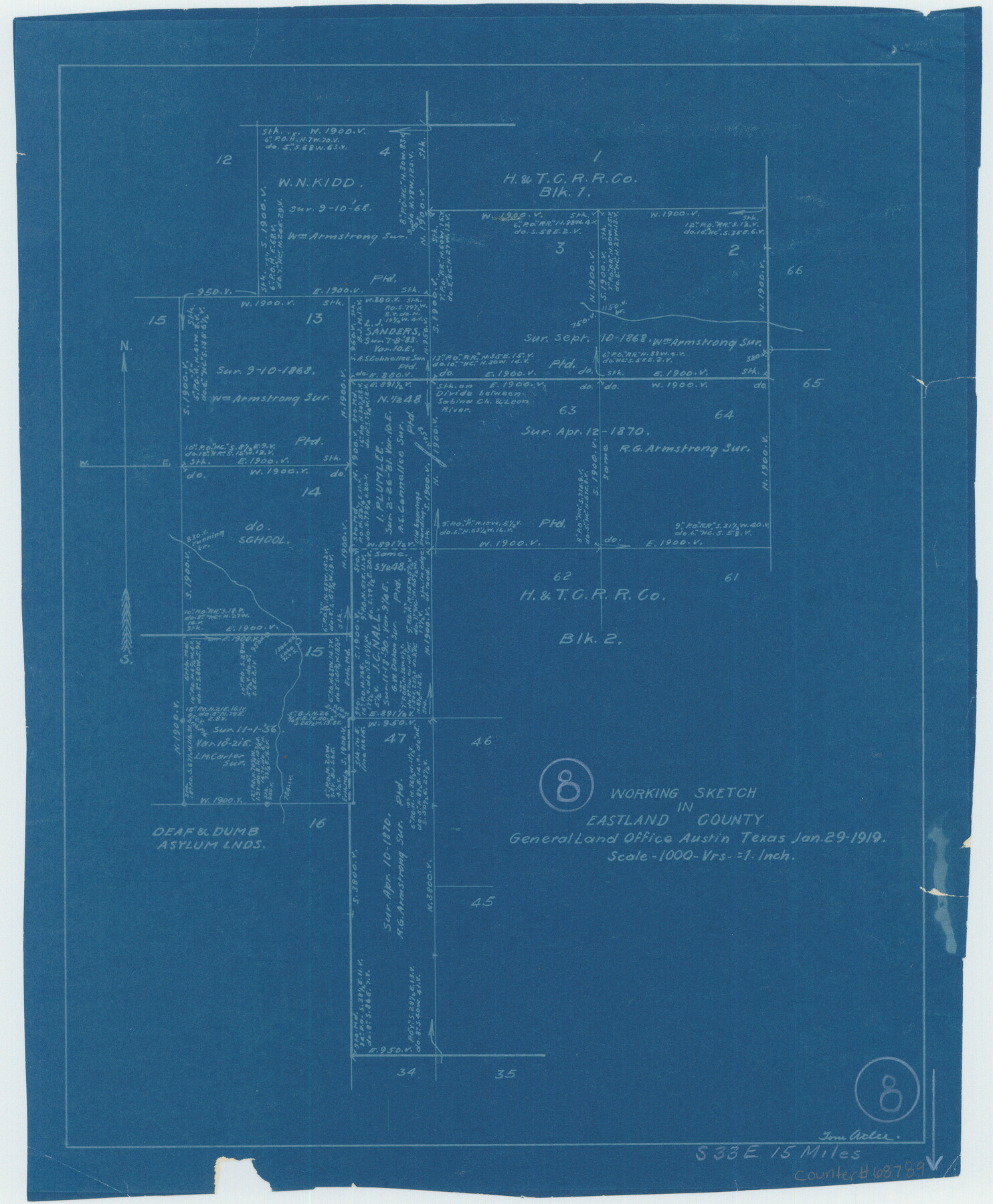
Eastland County Working Sketch 8
-
Map/Doc
68789
-
Collection
General Map Collection
-
Object Dates
1/29/1919 (Creation Date)
-
People and Organizations
Tom Atlee (Draftsman)
-
Counties
Eastland
-
Subjects
Surveying Working Sketch
-
Height x Width
13.5 x 11.1 inches
34.3 x 28.2 cm
-
Scale
1" = 1000 varas
Part of: General Map Collection
Uvalde County Working Sketch 66

Print $20.00
- Digital $50.00
Uvalde County Working Sketch 66
1942
Size 20.9 x 21.3 inches
Map/Doc 75968
Presidio County Boundary File 3b

Print $14.00
- Digital $50.00
Presidio County Boundary File 3b
Size 13.4 x 8.2 inches
Map/Doc 58076
Andrews County Rolled Sketch 38

Print $40.00
- Digital $50.00
Andrews County Rolled Sketch 38
1963
Size 38.3 x 50.3 inches
Map/Doc 8400
Pecos County Working Sketch 24

Print $20.00
- Digital $50.00
Pecos County Working Sketch 24
1928
Size 26.9 x 33.0 inches
Map/Doc 71495
Flight Mission No. BRA-16M, Frame 178, Jefferson County

Print $20.00
- Digital $50.00
Flight Mission No. BRA-16M, Frame 178, Jefferson County
1953
Size 18.6 x 22.4 inches
Map/Doc 85776
Flight Mission No. DAG-17K, Frame 73, Matagorda County

Print $20.00
- Digital $50.00
Flight Mission No. DAG-17K, Frame 73, Matagorda County
1952
Size 18.5 x 22.4 inches
Map/Doc 86332
Montgomery County Sketch File 2a

Print $4.00
- Digital $50.00
Montgomery County Sketch File 2a
1849
Size 8.0 x 12.3 inches
Map/Doc 31768

Andrews County Rolled Sketch 18

Print $20.00
- Digital $50.00
Andrews County Rolled Sketch 18
1942
Size 26.0 x 31.3 inches
Map/Doc 8394
Lampasas County Sketch File 16 1/2

Print $4.00
- Digital $50.00
Lampasas County Sketch File 16 1/2
Size 8.4 x 8.6 inches
Map/Doc 29428
Lampasas County Working Sketch 17

Print $20.00
- Digital $50.00
Lampasas County Working Sketch 17
1977
Size 24.0 x 13.2 inches
Map/Doc 70294
Starr County Sketch File 21

Print $52.00
- Digital $50.00
Starr County Sketch File 21
1912
Size 14.2 x 8.7 inches
Map/Doc 36889
You may also like
Loving County Working Sketch 7

Print $20.00
- Digital $50.00
Loving County Working Sketch 7
1949
Size 23.4 x 26.3 inches
Map/Doc 70639
Blanco County Sketch File 39

Print $4.00
- Digital $50.00
Blanco County Sketch File 39
Size 8.6 x 13.9 inches
Map/Doc 14650
Baylor County Aerial Photograph Index Sheet 3

Print $20.00
- Digital $50.00
Baylor County Aerial Photograph Index Sheet 3
1950
Size 20.4 x 15.5 inches
Map/Doc 83665
Travis County Boundary File 2

Print $42.00
- Digital $50.00
Travis County Boundary File 2
Size 9.3 x 7.2 inches
Map/Doc 59406
Jefferson County Working Sketch 21

Print $40.00
- Digital $50.00
Jefferson County Working Sketch 21
1969
Size 31.3 x 60.5 inches
Map/Doc 66564
Cooke County Working Sketch 21

Print $20.00
- Digital $50.00
Cooke County Working Sketch 21
1959
Size 35.3 x 30.3 inches
Map/Doc 68258
Cottle County Sketch File A and B

Print $27.00
- Digital $50.00
Cottle County Sketch File A and B
Size 18.4 x 24.1 inches
Map/Doc 11200
Bexar County Sketch File 1

Print $42.00
- Digital $50.00
Bexar County Sketch File 1
1848
Size 12.5 x 16.2 inches
Map/Doc 14465
Crosby County Sketch File 24

Print $4.00
- Digital $50.00
Crosby County Sketch File 24
Size 7.3 x 8.8 inches
Map/Doc 20091
Maps & Lists Showing Prison Lands (Oil & Gas) Leased as of June 1955

Digital $50.00
Maps & Lists Showing Prison Lands (Oil & Gas) Leased as of June 1955
1930
Size 24.4 x 26.8 inches
Map/Doc 62876
Lipscomb County Working Sketch 5

Print $20.00
- Digital $50.00
Lipscomb County Working Sketch 5
1977
Size 26.8 x 30.0 inches
Map/Doc 70581
Henderson County

Print $40.00
- Digital $50.00
Henderson County
1897
Size 30.2 x 60.8 inches
Map/Doc 66859