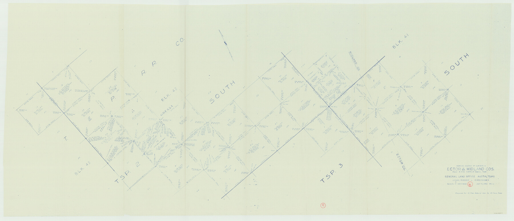
Ector County Working Sketch 16
-
Map/Doc
68859
-
Collection
General Map Collection
-
Object Dates
7/5/1956 (Creation Date)
-
People and Organizations
M. L. Liles (Draftsman)
-
Counties
Ector Midland
-
Subjects
Surveying Working Sketch
-
Height x Width
31.6 x 73.6 inches
80.3 x 186.9 cm
-
Scale
1" = 400 varas
Part of: General Map Collection
Map of Llano County

Print $20.00
- Digital $50.00
Map of Llano County
1859
Size 28.6 x 21.7 inches
Map/Doc 3826
Presidio County Sketch File 100

Print $4.00
- Digital $50.00
Presidio County Sketch File 100
1963
Size 11.2 x 8.9 inches
Map/Doc 34791
Lampasas County Sketch File 21

Print $14.00
- Digital $50.00
Lampasas County Sketch File 21
2001
Size 14.2 x 8.8 inches
Map/Doc 29436
Webb County Working Sketch 40

Print $20.00
- Digital $50.00
Webb County Working Sketch 40
1941
Size 19.6 x 20.6 inches
Map/Doc 72405
Webb County Sketch File 13

Print $4.00
- Digital $50.00
Webb County Sketch File 13
1877
Size 12.9 x 8.1 inches
Map/Doc 39801
Nueces County NRC Article 33.136 Sketch 7

Print $82.00
- Digital $50.00
Nueces County NRC Article 33.136 Sketch 7
2004
Size 32.7 x 47.0 inches
Map/Doc 81932
Jesse Devore League

Print $20.00
- Digital $50.00
Jesse Devore League
1919
Size 45.6 x 37.4 inches
Map/Doc 65460
Intracoastal Waterway - Galveston Bay to West Bay including Galveston Bay Entrance

Print $20.00
- Digital $50.00
Intracoastal Waterway - Galveston Bay to West Bay including Galveston Bay Entrance
1962
Size 26.8 x 38.4 inches
Map/Doc 69937
Calhoun County Rolled Sketch 13

Print $20.00
- Digital $50.00
Calhoun County Rolled Sketch 13
1948
Size 43.0 x 41.0 inches
Map/Doc 8547
Leon County Working Sketch 27

Print $20.00
- Digital $50.00
Leon County Working Sketch 27
1970
Size 22.4 x 24.4 inches
Map/Doc 70426
Jones County Working Sketch 9

Print $20.00
- Digital $50.00
Jones County Working Sketch 9
1980
Size 17.4 x 22.3 inches
Map/Doc 66647
Pecos County Rolled Sketch 22

Print $20.00
- Digital $50.00
Pecos County Rolled Sketch 22
1886
Size 22.5 x 39.5 inches
Map/Doc 9687
You may also like
Reclamation & Navigation Map of Trinity River Flood Plain

Print $40.00
- Digital $50.00
Reclamation & Navigation Map of Trinity River Flood Plain
1930
Size 24.3 x 75.8 inches
Map/Doc 65178
Ochiltree County

Print $20.00
- Digital $50.00
Ochiltree County
1958
Size 44.4 x 35.5 inches
Map/Doc 95603
Central & Montgomery

Print $40.00
- Digital $50.00
Central & Montgomery
1941
Size 26.1 x 123.0 inches
Map/Doc 64523
Kenedy County Working Sketch Graphic Index

Print $20.00
- Digital $50.00
Kenedy County Working Sketch Graphic Index
1978
Size 46.6 x 35.8 inches
Map/Doc 76603
San Jacinto County Sketch File A

Print $5.00
San Jacinto County Sketch File A
1895
Size 8.5 x 11.3 inches
Map/Doc 35716
Amistad International Reservoir on Rio Grande 100

Print $20.00
- Digital $50.00
Amistad International Reservoir on Rio Grande 100
1950
Size 28.5 x 40.8 inches
Map/Doc 75531
[Pablo Montoya Grant]
![93160, [Pablo Montoya Grant], Twichell Survey Records](https://historictexasmaps.com/wmedia_w700/maps/93160-1.tif.jpg)
Print $40.00
- Digital $50.00
[Pablo Montoya Grant]
Size 50.1 x 52.3 inches
Map/Doc 93160
Terrell County Sketch File 40

Print $6.00
- Digital $50.00
Terrell County Sketch File 40
1995
Size 14.2 x 8.9 inches
Map/Doc 38005
United States - Gulf Coast Texas - Northern part of Laguna Madre

Print $20.00
- Digital $50.00
United States - Gulf Coast Texas - Northern part of Laguna Madre
1941
Size 26.7 x 18.4 inches
Map/Doc 72933
Runnels County Sketch File 8

Print $40.00
Runnels County Sketch File 8
Size 37.9 x 37.5 inches
Map/Doc 10591
Galveston County Rolled Sketch 46

Print $40.00
- Digital $50.00
Galveston County Rolled Sketch 46
2000
Size 32.0 x 48.3 inches
Map/Doc 5981
Galveston County Rolled Sketch 28

Print $347.00
- Digital $50.00
Galveston County Rolled Sketch 28
Size 22.6 x 18.1 inches
Map/Doc 6068