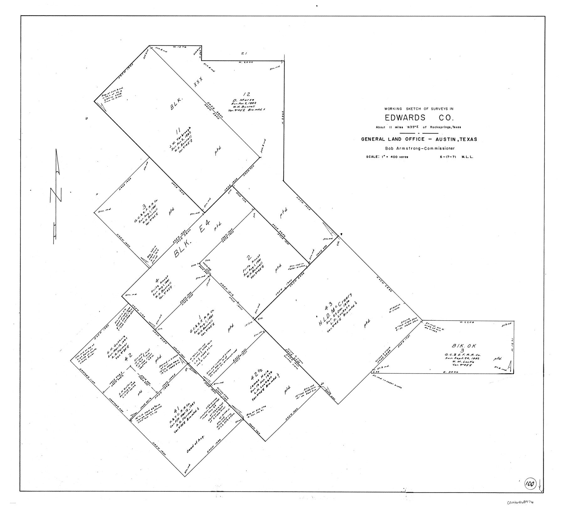
Edwards County Working Sketch 100
-
Map/Doc
68976
-
Collection
General Map Collection
-
Object Dates
6/17/1971 (Creation Date)
-
People and Organizations
M. L. Liles (Draftsman)
-
Counties
Edwards
-
Subjects
Surveying Working Sketch
-
Height x Width
31.5 x 34.2 inches
80.0 x 86.9 cm
-
Scale
1" = 400 varas
Part of: General Map Collection
Aransas County Sketch File 14a

Print $40.00
- Digital $50.00
Aransas County Sketch File 14a
1891
Size 16.7 x 15.8 inches
Map/Doc 10821
Upton County Working Sketch 48

Print $20.00
- Digital $50.00
Upton County Working Sketch 48
1975
Size 29.3 x 24.3 inches
Map/Doc 69544
Gaines County Rolled Sketch 14A

Print $40.00
- Digital $50.00
Gaines County Rolled Sketch 14A
1940
Size 22.8 x 81.2 inches
Map/Doc 76431
Flight Mission No. DAG-21K, Frame 133, Matagorda County

Print $20.00
- Digital $50.00
Flight Mission No. DAG-21K, Frame 133, Matagorda County
1952
Size 18.6 x 22.4 inches
Map/Doc 86459
Denton County Working Sketch 6

Print $20.00
- Digital $50.00
Denton County Working Sketch 6
1958
Size 21.3 x 33.0 inches
Map/Doc 68611
Loving County Rolled Sketch 2

Print $40.00
- Digital $50.00
Loving County Rolled Sketch 2
1952
Size 42.4 x 70.4 inches
Map/Doc 9462
Travis County Sketch File 69A

Print $20.00
- Digital $50.00
Travis County Sketch File 69A
Size 18.0 x 20.9 inches
Map/Doc 12476
Flight Mission No. CUG-1P, Frame 171, Kleberg County

Print $20.00
- Digital $50.00
Flight Mission No. CUG-1P, Frame 171, Kleberg County
1956
Size 18.5 x 22.1 inches
Map/Doc 86178
Collingsworth County

Print $20.00
- Digital $50.00
Collingsworth County
1899
Size 42.7 x 39.7 inches
Map/Doc 4915
Louisiana and Texas Intracoastal Waterway, Section 7, Galveston Bay to Brazos River and Section 8, Brazos River to Matagorda Bay

Print $20.00
- Digital $50.00
Louisiana and Texas Intracoastal Waterway, Section 7, Galveston Bay to Brazos River and Section 8, Brazos River to Matagorda Bay
1937
Size 31.0 x 42.8 inches
Map/Doc 61843
Chambers County NRC Article 33.136 Sketch 15

Print $62.00
Chambers County NRC Article 33.136 Sketch 15
2025
Map/Doc 97510
Andrews County Working Sketch 19

Print $20.00
- Digital $50.00
Andrews County Working Sketch 19
1964
Size 24.9 x 23.5 inches
Map/Doc 67065
You may also like
Pecos County Working Sketch 131

Print $20.00
- Digital $50.00
Pecos County Working Sketch 131
1977
Size 27.8 x 21.1 inches
Map/Doc 71605
Flight Mission No. BRA-7M, Frame 31, Jefferson County

Print $20.00
- Digital $50.00
Flight Mission No. BRA-7M, Frame 31, Jefferson County
1953
Size 18.5 x 22.3 inches
Map/Doc 85482
Flight Mission No. BRA-17M, Frame 11, Jefferson County

Print $20.00
- Digital $50.00
Flight Mission No. BRA-17M, Frame 11, Jefferson County
1953
Size 18.4 x 22.2 inches
Map/Doc 85792
Panola County Rolled Sketch 7

Print $20.00
- Digital $50.00
Panola County Rolled Sketch 7
1957
Size 19.4 x 27.8 inches
Map/Doc 7199
Flight Mission No. DAG-14K, Frame 131, Matagorda County

Print $20.00
- Digital $50.00
Flight Mission No. DAG-14K, Frame 131, Matagorda County
1952
Size 18.5 x 22.3 inches
Map/Doc 86302
Sutton County Working Sketch 55

Print $20.00
- Digital $50.00
Sutton County Working Sketch 55
1957
Size 42.2 x 28.7 inches
Map/Doc 62398
Victoria County Working Sketch 6

Print $20.00
- Digital $50.00
Victoria County Working Sketch 6
1944
Size 36.3 x 33.9 inches
Map/Doc 72276
Ellis Addition to the City of Lubbock, Being a Subdivision of a Part of the SW/4 of SW/4 Sec. 4, Blk. A

Print $3.00
- Digital $50.00
Ellis Addition to the City of Lubbock, Being a Subdivision of a Part of the SW/4 of SW/4 Sec. 4, Blk. A
1952
Size 9.4 x 11.9 inches
Map/Doc 92709
Maverick County Working Sketch 10

Print $40.00
- Digital $50.00
Maverick County Working Sketch 10
1959
Size 52.9 x 39.1 inches
Map/Doc 70902
[Leagues 445, 465-468, Block B, Gregg County School Land Leagues 1 and 2]
![90532, [Leagues 445, 465-468, Block B, Gregg County School Land Leagues 1 and 2], Twichell Survey Records](https://historictexasmaps.com/wmedia_w700/maps/90532-1.tif.jpg)
Print $2.00
- Digital $50.00
[Leagues 445, 465-468, Block B, Gregg County School Land Leagues 1 and 2]
1902
Size 9.0 x 9.9 inches
Map/Doc 90532
Crockett County Working Sketch 54

Print $20.00
- Digital $50.00
Crockett County Working Sketch 54
1951
Size 34.5 x 30.7 inches
Map/Doc 68387
Sketch No. 2 Showing Land Ties with Houston & Texas Central Rail Road through Harris County, Texas

Print $20.00
- Digital $50.00
Sketch No. 2 Showing Land Ties with Houston & Texas Central Rail Road through Harris County, Texas
1880
Size 8.5 x 26.9 inches
Map/Doc 64496