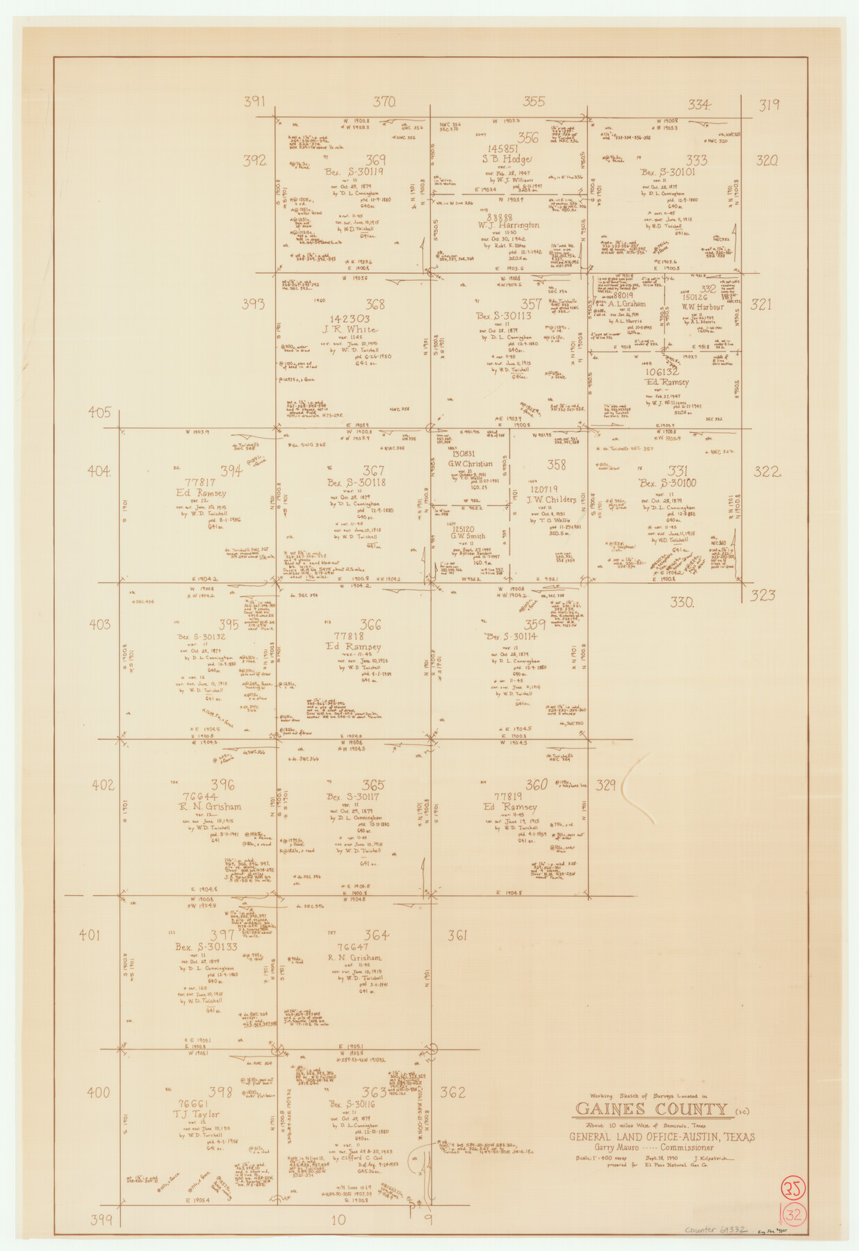
Gaines County Working Sketch 32
- 
                          Map/Doc69332
- 
                            CollectionGeneral Map Collection
- 
                            Object Dates9/18/1990 (Creation Date)
- 
                            People and OrganizationsJoan Kilpatrick (Draftsman)
- 
                            CountiesGaines
- 
                            SubjectsSurveying Working Sketch
- 
                            Height x Width38.3 x 26.3 inches97.3 x 66.8 cm
- 
                            Scale1" = 400 varas
Part of: General Map Collection
            Map of Walker County


                                            Print $20.00                    
                                             -                         Digital $50.00                                    
                Map of Walker County
1858
Size 22.9 x 34.1 inches
                                Map/Doc 4120
            
            Pecos County Rolled Sketch 44A


                                            Print $20.00                    
                                             -                         Digital $50.00                                    
                Pecos County Rolled Sketch 44A
1912
Size 19.7 x 34.6 inches
                                Map/Doc 7223
            
            Borden County Rolled Sketch 12


                                            Print $40.00                    
                                             -                         Digital $50.00                                    
                Borden County Rolled Sketch 12
1964
Size 48.1 x 31.6 inches
                                Map/Doc 8451
            
            Starr County Boundary File 44a


                                            Print $57.00                    
                                             -                         Digital $50.00                                    
                Starr County Boundary File 44a
Size 9.3 x 9.4 inches
                                Map/Doc 58827
            
            Martin County Sketch File 5


                                            Print $4.00                    
                                             -                         Digital $50.00                                    
                Martin County Sketch File 5
1913
Size 11.4 x 8.7 inches
                                Map/Doc 30640
            
            Kaufman County


                                            Print $20.00                    
                                             -                         Digital $50.00                                    
                Kaufman County
1942
Size 46.6 x 38.2 inches
                                Map/Doc 1871
            
            Flight Mission No. BRA-8M, Frame 87, Jefferson County


                                            Print $20.00                    
                                             -                         Digital $50.00                                    
                Flight Mission No. BRA-8M, Frame 87, Jefferson County
1953
Size 18.6 x 22.3 inches
                                Map/Doc 85607
            
            Flight Mission No. BRA-9M, Frame 81, Jefferson County


                                            Print $20.00                    
                                             -                         Digital $50.00                                    
                Flight Mission No. BRA-9M, Frame 81, Jefferson County
1953
Size 18.3 x 22.6 inches
                                Map/Doc 85664
            
            Map of Madison County


                                            Print $20.00                    
                                             -                         Digital $50.00                                    
                Map of Madison County
1858
Size 19.8 x 31.7 inches
                                Map/Doc 3834
            
            Anderson County Sketch File 32


                                            Print $4.00                    
                                             -                         Digital $50.00                                    
                Anderson County Sketch File 32
2002
Size 11.3 x 8.8 inches
                                Map/Doc 78312
            
            Sterling County Working Sketch 7


                                            Print $20.00                    
                                             -                         Digital $50.00                                    
                Sterling County Working Sketch 7
1957
Size 22.1 x 26.1 inches
                                Map/Doc 63989
            
            Guadalupe County Working Sketch 7


                                            Print $20.00                    
                                             -                         Digital $50.00                                    
                Guadalupe County Working Sketch 7
1954
Size 20.1 x 20.0 inches
                                Map/Doc 63316
            You may also like
            Briscoe County Sketch File H-1


                                            Print $40.00                    
                                             -                         Digital $50.00                                    
                Briscoe County Sketch File H-1
Size 21.7 x 18.2 inches
                                Map/Doc 11006
            
            [Highway Map of the State of Texas]
            
                                    ![5039, [Highway Map of the State of Texas], Maddox Collection](https://historictexasmaps.com/wmedia_w700/maps/5039-1.tif.jpg) 


    ![5039, [Highway Map of the State of Texas], Maddox Collection](https://historictexasmaps.com/wmedia_w700/maps/5039-1.tif.jpg) 
                                
            
                                            Print $20.00                    
                                             -                         Digital $50.00                                    
                [Highway Map of the State of Texas]
1923
Size 44.7 x 46.7 inches
                                Map/Doc 5039
            
            Flight Mission No. DAG-17K, Frame 78, Matagorda County


                                            Print $20.00                    
                                             -                         Digital $50.00                                    
                Flight Mission No. DAG-17K, Frame 78, Matagorda County
1952
Size 18.7 x 22.4 inches
                                Map/Doc 86337
            
            Newton County Working Sketch 18


                                            Print $20.00                    
                                             -                         Digital $50.00                                    
                Newton County Working Sketch 18
1950
Size 14.3 x 13.6 inches
                                Map/Doc 71264
            
            Val Verde County Sketch File Z22


                                            Print $4.00                    
                                             -                         Digital $50.00                                    
                Val Verde County Sketch File Z22
1919
Size 11.2 x 8.6 inches
                                Map/Doc 39163
            
            Sterling County Sketch File 1


                                            Print $40.00                    
                                             -                         Digital $50.00                                    
                Sterling County Sketch File 1
1862
Size 18.7 x 8.4 inches
                                Map/Doc 37111
            
            County Map of Texas and Indian Territory


                                            Print $20.00                    
                                             -                         Digital $50.00                                    
                County Map of Texas and Indian Territory
1881
Size 13.1 x 9.9 inches
                                Map/Doc 94153
            
            Jeff Davis County


                                            Print $40.00                    
                                             -                         Digital $50.00                                    
                Jeff Davis County
1893
Size 26.2 x 48.2 inches
                                Map/Doc 3719
            
            Shores of Laguna Madre, Texas from Triangulation Station Peat ID to Crane Islands


                                            Print $40.00                    
                                             -                         Digital $50.00                                    
                Shores of Laguna Madre, Texas from Triangulation Station Peat ID to Crane Islands
1882
Size 33.7 x 54.6 inches
                                Map/Doc 73481
            
            Crosby County Sketch File 4


                                            Print $4.00                    
                                             -                         Digital $50.00                                    
                Crosby County Sketch File 4
Size 8.6 x 12.6 inches
                                Map/Doc 20000
            
            [Leagues 7, 8, 9, and 10]
            
                                    ![92219, [Leagues 7, 8, 9, and 10], Twichell Survey Records](https://historictexasmaps.com/wmedia_w700/maps/92219-1.tif.jpg) 


    ![92219, [Leagues 7, 8, 9, and 10], Twichell Survey Records](https://historictexasmaps.com/wmedia_w700/maps/92219-1.tif.jpg) 
                                
            
                                            Print $20.00                    
                                             -                         Digital $50.00                                    
                [Leagues 7, 8, 9, and 10]
1943
Size 20.6 x 12.5 inches
                                Map/Doc 92219
            
            Amistad International Reservoir on Rio Grande 98


                                            Print $20.00                    
                                             -                         Digital $50.00                                    
                Amistad International Reservoir on Rio Grande 98
1950
Size 28.5 x 40.9 inches
                                Map/Doc 75529
            