Street guide and metropolitan map of New Orleans [Recto]
Street Map of New Orleans
-
Map/Doc
94198
-
Collection
General Map Collection
-
Object Dates
1963 (Creation Date)
-
People and Organizations
The H.M. Gousha Company (Publisher)
James Harkins (Donor)
-
Subjects
City
-
Height x Width
18.3 x 27.2 inches
46.5 x 69.1 cm
-
Medium
paper, etching/engraving/lithograph
-
Comments
For reference/research purposes only. Promotional map of New Orleans sponsored by Shell. Donated by James Harkins. See 94199 for verso.
Related maps
Street guide and metropolitan map of New Orleans [Verso]
![94199, Street guide and metropolitan map of New Orleans [Verso], General Map Collection](https://historictexasmaps.com/wmedia_w700/maps/94199.tif.jpg)
![94199, Street guide and metropolitan map of New Orleans [Verso], General Map Collection](https://historictexasmaps.com/wmedia_w700/maps/94199.tif.jpg)
Street guide and metropolitan map of New Orleans [Verso]
1963
Size 18.3 x 27.1 inches
Map/Doc 94199
Part of: General Map Collection
Brewster County Rolled Sketch 67


Print $20.00
- Digital $50.00
Brewster County Rolled Sketch 67
1940
Size 32.0 x 23.5 inches
Map/Doc 5233
Montague County Sketch File 22
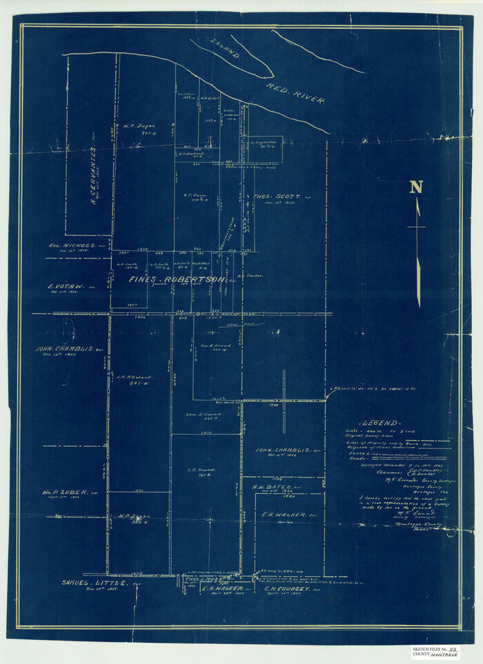

Print $20.00
- Digital $50.00
Montague County Sketch File 22
1927
Size 27.7 x 20.1 inches
Map/Doc 12107
Current Miscellaneous File 85
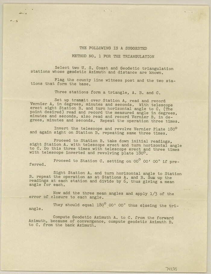

Print $10.00
- Digital $50.00
Current Miscellaneous File 85
Size 11.3 x 8.8 inches
Map/Doc 74235
Flight Mission No. CRC-3R, Frame 34, Chambers County


Print $20.00
- Digital $50.00
Flight Mission No. CRC-3R, Frame 34, Chambers County
1956
Size 18.5 x 22.3 inches
Map/Doc 84807
Hansford County Working Sketch 9
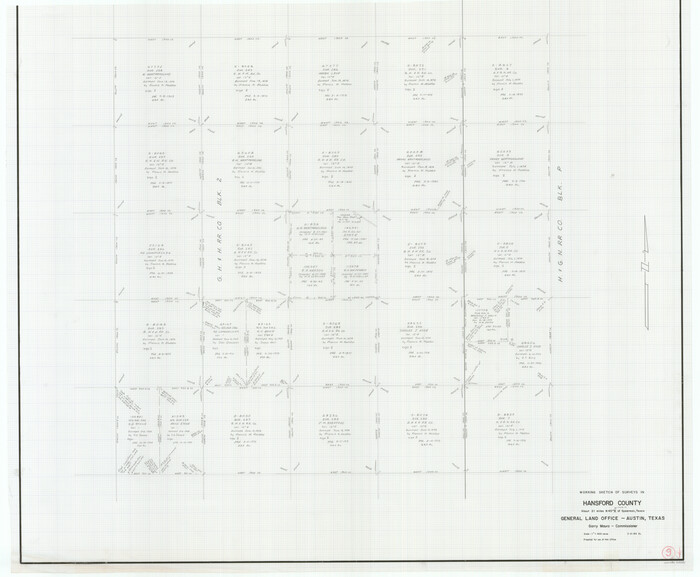

Print $20.00
- Digital $50.00
Hansford County Working Sketch 9
1984
Size 31.5 x 38.2 inches
Map/Doc 63381
Trinity County Sketch File 12
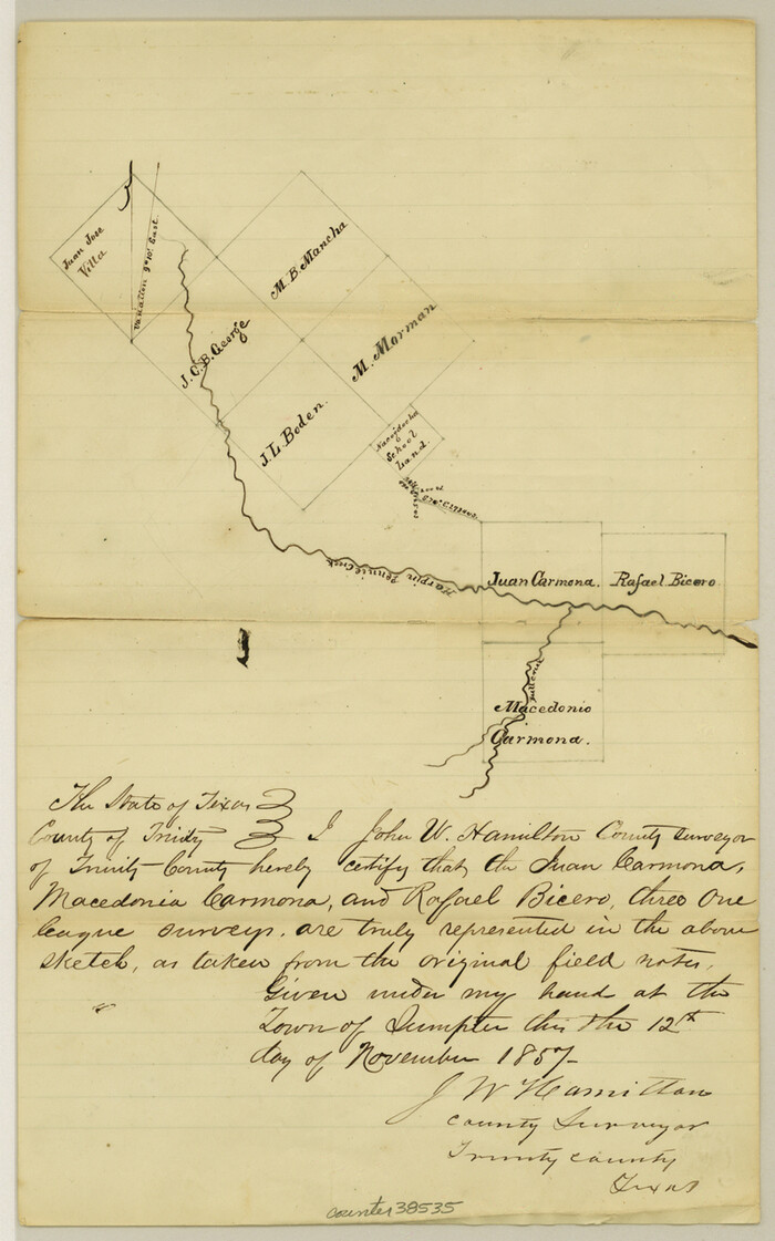

Print $4.00
- Digital $50.00
Trinity County Sketch File 12
1857
Size 12.8 x 8.0 inches
Map/Doc 38535
Liberty County Working Sketch 86

Print $20.00
- Digital $50.00
Liberty County Working Sketch 86
1986
Size 30.7 x 34.7 inches
Map/Doc 70546
Runnels County Working Sketch 20

Print $20.00
- Digital $50.00
Runnels County Working Sketch 20
1950
Size 23.1 x 30.9 inches
Map/Doc 63616
Culberson County Rolled Sketch 14


Print $20.00
- Digital $50.00
Culberson County Rolled Sketch 14
1902
Size 35.3 x 34.6 inches
Map/Doc 8743
Guadalupe County Working Sketch 8

Print $20.00
- Digital $50.00
Guadalupe County Working Sketch 8
1955
Size 23.6 x 38.6 inches
Map/Doc 63317
Flight Mission No. BRE-2P, Frame 71, Nueces County

Print $20.00
- Digital $50.00
Flight Mission No. BRE-2P, Frame 71, Nueces County
1956
Size 18.4 x 22.6 inches
Map/Doc 86766
Van Zandt County Working Sketch 6a
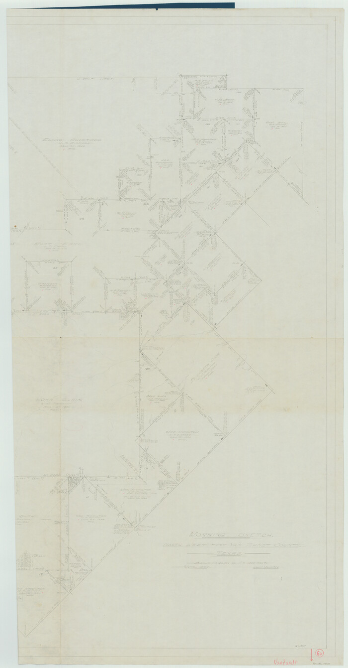

Print $40.00
- Digital $50.00
Van Zandt County Working Sketch 6a
1941
Size 57.6 x 30.1 inches
Map/Doc 72255
You may also like
Hopkins County Boundary File 1
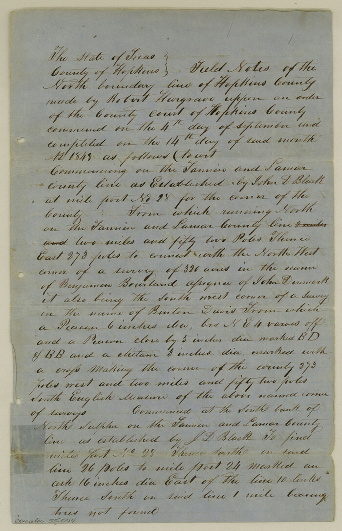

Print $26.00
- Digital $50.00
Hopkins County Boundary File 1
Size 12.3 x 7.9 inches
Map/Doc 55044
Val Verde County Sketch File 34

Print $5.00
- Digital $50.00
Val Verde County Sketch File 34
Size 9.0 x 9.1 inches
Map/Doc 39251
The Republic County of Nacogdoches. December 29, 1845


Print $20.00
The Republic County of Nacogdoches. December 29, 1845
2020
Size 15.9 x 21.8 inches
Map/Doc 96250
[Map showing T&P Lands in El Paso County]
![88937, [Map showing T&P Lands in El Paso County], Library of Congress](https://historictexasmaps.com/wmedia_w700/maps/88937.tif.jpg)
![88937, [Map showing T&P Lands in El Paso County], Library of Congress](https://historictexasmaps.com/wmedia_w700/maps/88937.tif.jpg)
Print $20.00
[Map showing T&P Lands in El Paso County]
Size 22.3 x 17.3 inches
Map/Doc 88937
Map of Trespalacios River & Bay in Matagorda County showing subdivision thereof for mineral development
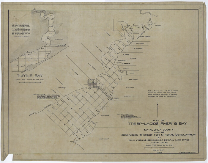

Print $20.00
- Digital $50.00
Map of Trespalacios River & Bay in Matagorda County showing subdivision thereof for mineral development
1937
Size 30.5 x 38.9 inches
Map/Doc 3022
Fisher County
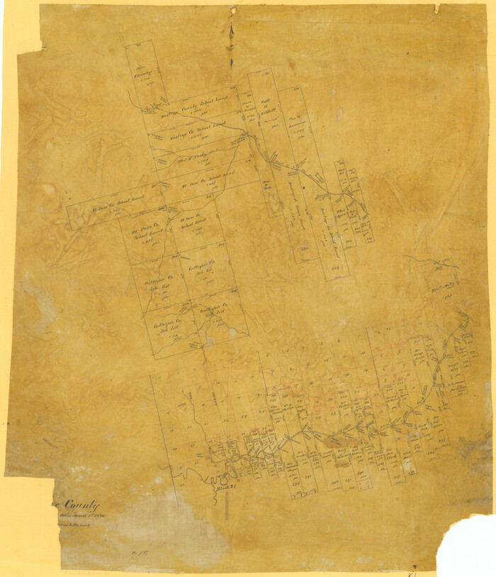

Print $20.00
- Digital $50.00
Fisher County
1880
Size 29.4 x 25.3 inches
Map/Doc 75772
Fisher County Working Sketch 7
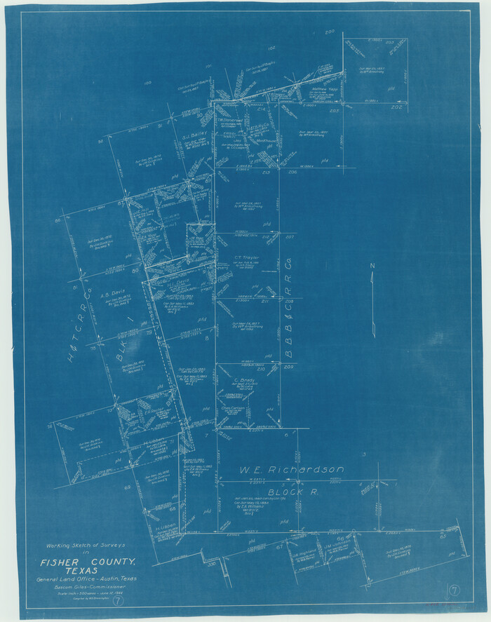

Print $20.00
- Digital $50.00
Fisher County Working Sketch 7
1944
Size 36.7 x 28.9 inches
Map/Doc 69141
Hansford County Sketch File 12


Print $6.00
- Digital $50.00
Hansford County Sketch File 12
1934
Size 11.2 x 8.9 inches
Map/Doc 24975
Carta Historica y Arqueologica


Print $20.00
- Digital $50.00
Carta Historica y Arqueologica
Size 26.0 x 34.4 inches
Map/Doc 96806
[Beaumont, Sour Lake and Western Ry. Right of Way and Alignment - Frisco]
![64111, [Beaumont, Sour Lake and Western Ry. Right of Way and Alignment - Frisco], General Map Collection](https://historictexasmaps.com/wmedia_w700/maps/64111.tif.jpg)
![64111, [Beaumont, Sour Lake and Western Ry. Right of Way and Alignment - Frisco], General Map Collection](https://historictexasmaps.com/wmedia_w700/maps/64111.tif.jpg)
Print $20.00
- Digital $50.00
[Beaumont, Sour Lake and Western Ry. Right of Way and Alignment - Frisco]
1910
Size 19.8 x 45.9 inches
Map/Doc 64111
The Republic County of Travis. December 29, 1845
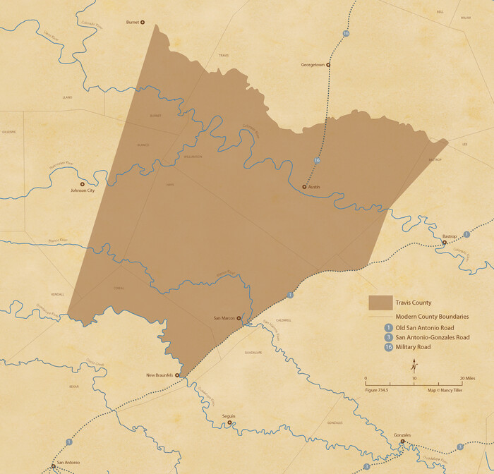

Print $20.00
The Republic County of Travis. December 29, 1845
2020
Size 20.8 x 21.6 inches
Map/Doc 96293
Collingsworth County Sketch File 7


Print $10.00
- Digital $50.00
Collingsworth County Sketch File 7
1915
Size 11.4 x 9.0 inches
Map/Doc 18884
![94198, Street guide and metropolitan map of New Orleans [Recto], General Map Collection](https://historictexasmaps.com/wmedia_w1800h1800/maps/94198.tif.jpg)