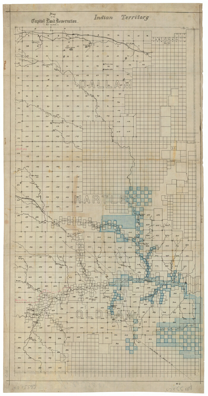
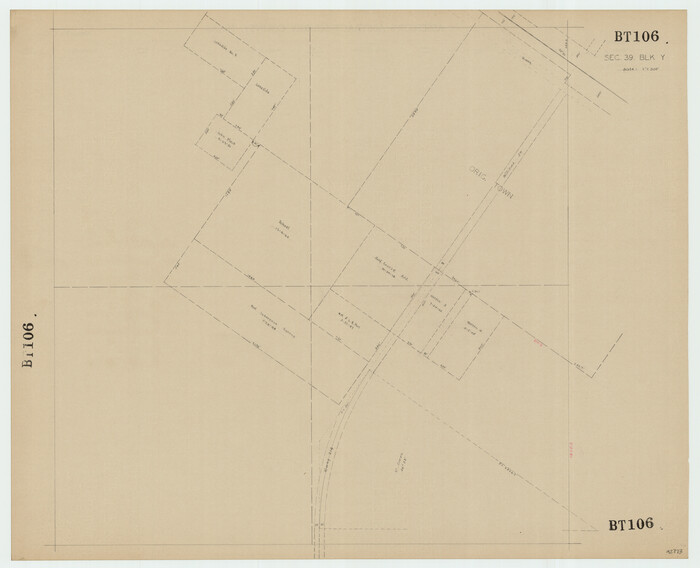
[North line of County]
56-8
- 
                          Map/Doc93146
- 
                            CollectionTwichell Survey Records
- 
                            CountiesDallam
- 
                            Height x Width76.2 x 8.6 inches193.6 x 21.8 cm
Part of: Twichell Survey Records
            Brazos River Conservation and Reclamation District Official Boundary Line Survey, Parmer County


                                            Print $20.00                    
                                             -                         Digital $50.00                                    
                Brazos River Conservation and Reclamation District Official Boundary Line Survey, Parmer County
Size 24.6 x 16.8 inches
                                Map/Doc 91659
            
            [Southwest part of County]
            
                                    ![90921, [Southwest part of County], Twichell Survey Records](https://historictexasmaps.com/wmedia_w700/maps/90921-1.tif.jpg) 


    ![90921, [Southwest part of County], Twichell Survey Records](https://historictexasmaps.com/wmedia_w700/maps/90921-1.tif.jpg) 
                                
            
                                            Print $20.00                    
                                             -                         Digital $50.00                                    
                [Southwest part of County]
Size 29.0 x 18.3 inches
                                Map/Doc 90921
            
            [Sketch of Part of B. S. & F. Block 9]
            
                                    ![93088, [Sketch of Part of B. S. & F. Block 9], Twichell Survey Records](https://historictexasmaps.com/wmedia_w700/maps/93088-1.tif.jpg) 


    ![93088, [Sketch of Part of B. S. & F. Block 9], Twichell Survey Records](https://historictexasmaps.com/wmedia_w700/maps/93088-1.tif.jpg) 
                                
            
                                            Print $2.00                    
                                             -                         Digital $50.00                                    
                [Sketch of Part of B. S. & F. Block 9]
Size 8.0 x 7.9 inches
                                Map/Doc 93088
            
            [Southwest corner of Runnels County School Land League 3]
            
                                    ![91586, [Southwest corner of Runnels County School Land League 3], Twichell Survey Records](https://historictexasmaps.com/wmedia_w700/maps/91586-1.tif.jpg) 


    ![91586, [Southwest corner of Runnels County School Land League 3], Twichell Survey Records](https://historictexasmaps.com/wmedia_w700/maps/91586-1.tif.jpg) 
                                
            
                                            Print $2.00                    
                                             -                         Digital $50.00                                    
                [Southwest corner of Runnels County School Land League 3]
1927
Size 14.2 x 8.7 inches
                                Map/Doc 91586
            
            Block 33, Township 5 South


                                            Print $2.00                    
                                             -                         Digital $50.00                                    
                Block 33, Township 5 South
1875
Size 8.9 x 9.7 inches
                                Map/Doc 90751
            
            [Garza County School Land and Vicinity]
            
                                    ![91294, [Garza County School Land and Vicinity], Twichell Survey Records](https://historictexasmaps.com/wmedia_w700/maps/91294-1.tif.jpg) 


    ![91294, [Garza County School Land and Vicinity], Twichell Survey Records](https://historictexasmaps.com/wmedia_w700/maps/91294-1.tif.jpg) 
                                
            
                                            Print $3.00                    
                                             -                         Digital $50.00                                    
                [Garza County School Land and Vicinity]
Size 13.4 x 11.9 inches
                                Map/Doc 91294
            
            Mrs. Don D. Kinnebrew Farm Section 72, Block A


                                            Print $20.00                    
                                             -                         Digital $50.00                                    
                Mrs. Don D. Kinnebrew Farm Section 72, Block A
Size 15.6 x 18.0 inches
                                Map/Doc 92290
            
            S. Part of Gomez


                                            Print $20.00                    
                                             -                         Digital $50.00                                    
                S. Part of Gomez
Size 23.5 x 19.6 inches
                                Map/Doc 92295
            
            Whitharral Located on West Half of Labor 11, Capitol League 716 Hockley County, Texas


                                            Print $20.00                    
                                             -                         Digital $50.00                                    
                Whitharral Located on West Half of Labor 11, Capitol League 716 Hockley County, Texas
Size 17.5 x 20.9 inches
                                Map/Doc 92261
            
            General Highway Map Lynn County


                                            Print $20.00                    
                                             -                         Digital $50.00                                    
                General Highway Map Lynn County
1949
Size 25.8 x 18.8 inches
                                Map/Doc 92901
            You may also like
            Polk County Working Sketch 12


                                            Print $20.00                    
                                             -                         Digital $50.00                                    
                Polk County Working Sketch 12
1942
Size 26.6 x 17.3 inches
                                Map/Doc 71627
            
            Kaufman County Working Sketch 3


                                            Print $2.00                    
                                             -                         Digital $50.00                                    
                Kaufman County Working Sketch 3
1922
Size 11.9 x 8.0 inches
                                Map/Doc 66666
            
            Map of the Texas and Pacific Railway and Connections


                                            Print $20.00                    
                                    
                Map of the Texas and Pacific Railway and Connections
1897
Size 19.3 x 24.4 inches
                                Map/Doc 79328
            
            Uvalde County Sketch File 10


                                            Print $6.00                    
                                             -                         Digital $50.00                                    
                Uvalde County Sketch File 10
1886
Size 9.2 x 6.1 inches
                                Map/Doc 38969
            
            [Gregg County League No. 2 Subdivided and vicinity]
            
                                    ![91567, [Gregg County League No. 2 Subdivided and vicinity], Twichell Survey Records](https://historictexasmaps.com/wmedia_w700/maps/91567-1.tif.jpg) 


    ![91567, [Gregg County League No. 2 Subdivided and vicinity], Twichell Survey Records](https://historictexasmaps.com/wmedia_w700/maps/91567-1.tif.jpg) 
                                
            
                                            Print $20.00                    
                                             -                         Digital $50.00                                    
                [Gregg County League No. 2 Subdivided and vicinity]
Size 17.7 x 16.3 inches
                                Map/Doc 91567
            
            Geographical, Statistical, and Historical Map of the District of Columbia


                                            Print $20.00                    
                                             -                         Digital $50.00                                    
                Geographical, Statistical, and Historical Map of the District of Columbia
Size 18.0 x 22.4 inches
                                Map/Doc 97102
            
            Reconnaissance of the Coast of Texas between Matagorda and Corpus Christi Bays


                                            Print $20.00                    
                                             -                         Digital $50.00                                    
                Reconnaissance of the Coast of Texas between Matagorda and Corpus Christi Bays
1858
Size 25.2 x 21.4 inches
                                Map/Doc 75987
            
            Reagan County Rolled Sketch 18


                                            Print $20.00                    
                                             -                         Digital $50.00                                    
                Reagan County Rolled Sketch 18
Size 32.1 x 22.9 inches
                                Map/Doc 7444
            
            The Republic County of Jefferson. January 29, 1842


                                            Print $20.00                    
                                    
                The Republic County of Jefferson. January 29, 1842
2020
Size 22.6 x 21.7 inches
                                Map/Doc 96199
            
            Kerr County Working Sketch 5


                                            Print $20.00                    
                                             -                         Digital $50.00                                    
                Kerr County Working Sketch 5
1947
Size 21.9 x 19.8 inches
                                Map/Doc 70036
            
            Johnson County Sketch File 1


                                            Print $48.00                    
                                             -                         Digital $50.00                                    
                Johnson County Sketch File 1
Size 8.0 x 6.9 inches
                                Map/Doc 28427
            
            Schleicher County Rolled Sketch 25


                                            Print $20.00                    
                                             -                         Digital $50.00                                    
                Schleicher County Rolled Sketch 25
1969
Size 32.3 x 37.9 inches
                                Map/Doc 9908
            ![93146, [North line of County], Twichell Survey Records](https://historictexasmaps.com/wmedia_w1800h1800/maps/93146-1.tif.jpg)