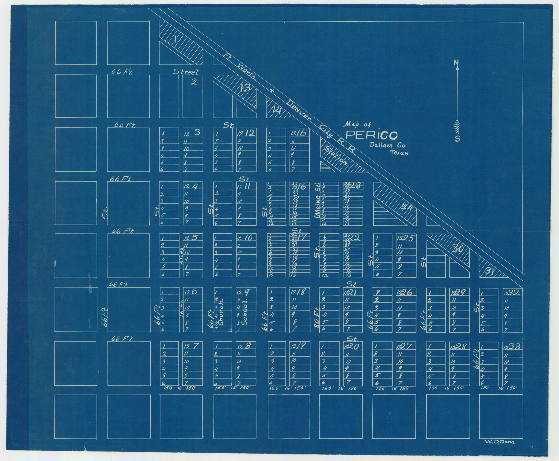
Map of Perico, Dallam County, Texas
-
Map/Doc
92128
-
Collection
Twichell Survey Records
-
People and Organizations
W.D. Dana (Compiler)
-
Counties
Dallam
-
Height x Width
20.1 x 16.7 inches
51.1 x 42.4 cm
Part of: Twichell Survey Records
[I. & G. N. Block 1]
![91572, [I. & G. N. Block 1], Twichell Survey Records](https://historictexasmaps.com/wmedia_w700/maps/91572-1.tif.jpg)
Print $20.00
- Digital $50.00
[I. & G. N. Block 1]
Size 17.5 x 13.6 inches
Map/Doc 91572
[Dallam County Map]
![93157, [Dallam County Map], Twichell Survey Records](https://historictexasmaps.com/wmedia_w700/maps/93157-1.tif.jpg)
Print $40.00
- Digital $50.00
[Dallam County Map]
Size 51.1 x 65.2 inches
Map/Doc 93157
[Blocks C4, SI, and JK]
![90774, [Blocks C4, SI, and JK], Twichell Survey Records](https://historictexasmaps.com/wmedia_w700/maps/90774-1.tif.jpg)
Print $20.00
- Digital $50.00
[Blocks C4, SI, and JK]
Size 16.1 x 16.3 inches
Map/Doc 90774
Rhyne Simpson Addition No. 2, City of Lubbock Section 3, Block O

Print $20.00
- Digital $50.00
Rhyne Simpson Addition No. 2, City of Lubbock Section 3, Block O
1957
Size 11.7 x 18.2 inches
Map/Doc 92752
[Sketch Showing Wm. T. Brewer, John R. Taylor, Wm. F. Butler, Timothy DeVore, L. M. Thorn and adjoining surveys]
![90230, [Sketch Showing Wm. T. Brewer, John R. Taylor, Wm. F. Butler, Timothy DeVore, L. M. Thorn and adjoining surveys], Twichell Survey Records](https://historictexasmaps.com/wmedia_w700/maps/90230-1.tif.jpg)
Print $20.00
- Digital $50.00
[Sketch Showing Wm. T. Brewer, John R. Taylor, Wm. F. Butler, Timothy DeVore, L. M. Thorn and adjoining surveys]
Size 25.1 x 19.2 inches
Map/Doc 90230
F. Z. Bishop's Subdivision of C. C. Slaughter Ranch

Print $20.00
- Digital $50.00
F. Z. Bishop's Subdivision of C. C. Slaughter Ranch
Size 20.6 x 19.2 inches
Map/Doc 92305
Garza County Plat

Print $20.00
- Digital $50.00
Garza County Plat
1948
Size 21.1 x 17.7 inches
Map/Doc 92703
[Sketch showing Block M-20, Sections 9 through 46 and Block 22, Sections 1 through 12]
![91717, [Sketch showing Block M-20, Sections 9 through 46 and Block 22, Sections 1 through 12], Twichell Survey Records](https://historictexasmaps.com/wmedia_w700/maps/91717-1.tif.jpg)
Print $3.00
- Digital $50.00
[Sketch showing Block M-20, Sections 9 through 46 and Block 22, Sections 1 through 12]
Size 10.9 x 13.9 inches
Map/Doc 91717
[Blocks S1, O6, O, A1, A2, A3, A4, JK, JK2, JK4, and JD]
![90658, [Blocks S1, O6, O, A1, A2, A3, A4, JK, JK2, JK4, and JD], Twichell Survey Records](https://historictexasmaps.com/wmedia_w700/maps/90658-1.tif.jpg)
Print $20.00
- Digital $50.00
[Blocks S1, O6, O, A1, A2, A3, A4, JK, JK2, JK4, and JD]
Size 20.3 x 21.7 inches
Map/Doc 90658
Levelland Independent School District Hockley County, Texas

Print $20.00
- Digital $50.00
Levelland Independent School District Hockley County, Texas
Size 36.2 x 29.8 inches
Map/Doc 92240
[Sketch showing T.&P. "B" Blocks in Tsp. 1S, Tsp. 2S, Tsp. 3S and Tsp. 4S]
![89747, [Sketch showing T.&P. "B" Blocks in Tsp. 1S, Tsp. 2S, Tsp. 3S and Tsp. 4S], Twichell Survey Records](https://historictexasmaps.com/wmedia_w700/maps/89747-1.tif.jpg)
Print $40.00
- Digital $50.00
[Sketch showing T.&P. "B" Blocks in Tsp. 1S, Tsp. 2S, Tsp. 3S and Tsp. 4S]
Size 49.4 x 42.5 inches
Map/Doc 89747
Slaughter Addition, Morton, Texas

Print $3.00
- Digital $50.00
Slaughter Addition, Morton, Texas
1951
Size 16.6 x 11.8 inches
Map/Doc 92541
You may also like
Hunt County Sketch File 2

Print $4.00
- Digital $50.00
Hunt County Sketch File 2
1857
Size 10.1 x 7.8 inches
Map/Doc 27083
Liberty County Sketch File 36

Print $2.00
- Digital $50.00
Liberty County Sketch File 36
Size 9.4 x 9.0 inches
Map/Doc 29973
Limestone County Working Sketch 20

Print $20.00
- Digital $50.00
Limestone County Working Sketch 20
1976
Size 41.5 x 42.3 inches
Map/Doc 70570
Gillespie County

Print $40.00
- Digital $50.00
Gillespie County
1945
Size 39.5 x 48.9 inches
Map/Doc 1838
Culberson County Working Sketch 58

Print $20.00
- Digital $50.00
Culberson County Working Sketch 58
1974
Size 45.2 x 35.1 inches
Map/Doc 68512
McCulloch County Boundary File 1

Print $40.00
- Digital $50.00
McCulloch County Boundary File 1
Size 9.2 x 33.6 inches
Map/Doc 56906
Brazos River Conservation and Reclamation District Official Boundary Line Survey, Parmer County

Print $20.00
- Digital $50.00
Brazos River Conservation and Reclamation District Official Boundary Line Survey, Parmer County
Size 24.7 x 16.8 inches
Map/Doc 91656
Flight Mission No. BRA-9M, Frame 70, Jefferson County

Print $20.00
- Digital $50.00
Flight Mission No. BRA-9M, Frame 70, Jefferson County
1953
Size 18.6 x 22.5 inches
Map/Doc 85653
[Sketch of PSL Blocks A21-A24, A33, A34, A36, A42, A43, A46]
![89741, [Sketch of PSL Blocks A21-A24, A33, A34, A36, A42, A43, A46], Twichell Survey Records](https://historictexasmaps.com/wmedia_w700/maps/89741-1.tif.jpg)
Print $40.00
- Digital $50.00
[Sketch of PSL Blocks A21-A24, A33, A34, A36, A42, A43, A46]
Size 23.1 x 63.1 inches
Map/Doc 89741
Smith County Rolled Sketch 6A1

Print $40.00
- Digital $50.00
Smith County Rolled Sketch 6A1
Size 49.2 x 38.6 inches
Map/Doc 10704
Latest Map of the State of Texas

Print $20.00
Latest Map of the State of Texas
1888
Size 30.7 x 32.9 inches
Map/Doc 79747
Maverick County Working Sketch Graphic Index

Print $20.00
- Digital $50.00
Maverick County Working Sketch Graphic Index
1947
Size 46.4 x 30.3 inches
Map/Doc 76635