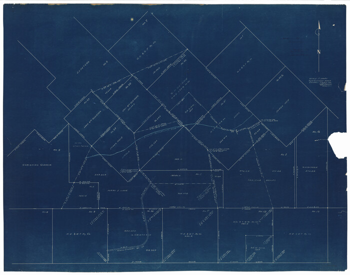
[Blocks C4, SI, and JK]
95-22
-
Map/Doc
90774
-
Collection
Twichell Survey Records
-
Counties
Hale
-
Height x Width
16.1 x 16.3 inches
40.9 x 41.4 cm
Part of: Twichell Survey Records
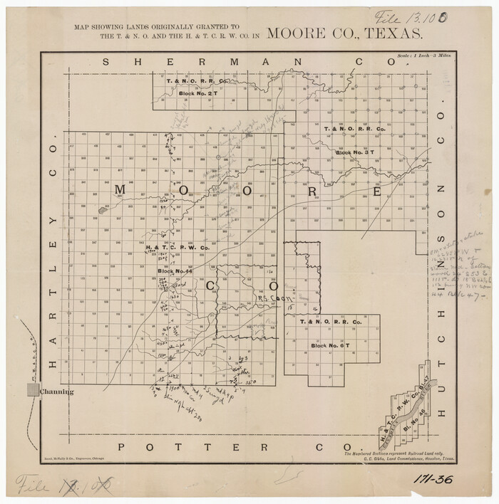
Map Showing Lands Originally Granted to the T. & N. O. and the H. & T. C. Railway Companies in Moore County, Texas

Print $20.00
- Digital $50.00
Map Showing Lands Originally Granted to the T. & N. O. and the H. & T. C. Railway Companies in Moore County, Texas
Size 14.2 x 14.6 inches
Map/Doc 91520
Lamb-Castro County Line


Print $20.00
- Digital $50.00
Lamb-Castro County Line
Size 45.2 x 14.8 inches
Map/Doc 91059
[Map showing J. H. Gibson Blocks D and DD]
![92006, [Map showing J. H. Gibson Blocks D and DD], Twichell Survey Records](https://historictexasmaps.com/wmedia_w700/maps/92006-1.tif.jpg)
![92006, [Map showing J. H. Gibson Blocks D and DD], Twichell Survey Records](https://historictexasmaps.com/wmedia_w700/maps/92006-1.tif.jpg)
Print $20.00
- Digital $50.00
[Map showing J. H. Gibson Blocks D and DD]
Size 31.5 x 22.0 inches
Map/Doc 92006
James Subdivision, NE/4 Section 1, Block E, G. C. & S. F. R.R. Co. Cert 3/360, Abstract 46


Print $3.00
- Digital $50.00
James Subdivision, NE/4 Section 1, Block E, G. C. & S. F. R.R. Co. Cert 3/360, Abstract 46
Size 11.0 x 12.2 inches
Map/Doc 92705
North Half, Harris County, Texas - Ownership Map with Well Data


North Half, Harris County, Texas - Ownership Map with Well Data
1948
Size 121.9 x 44.3 inches
Map/Doc 93206
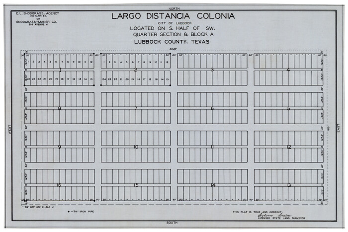
Largo Distancia Colonia Located on S. Half of SW Quarter Section 8, Block A

Print $20.00
- Digital $50.00
Largo Distancia Colonia Located on S. Half of SW Quarter Section 8, Block A
Size 20.3 x 13.6 inches
Map/Doc 92765
[PSL Blocks Q, U, Y, Z, W]
![90436, [PSL Blocks Q, U, Y, Z, W], Twichell Survey Records](https://historictexasmaps.com/wmedia_w700/maps/90436-1.tif.jpg)
![90436, [PSL Blocks Q, U, Y, Z, W], Twichell Survey Records](https://historictexasmaps.com/wmedia_w700/maps/90436-1.tif.jpg)
Print $20.00
- Digital $50.00
[PSL Blocks Q, U, Y, Z, W]
Size 6.6 x 21.7 inches
Map/Doc 90436
Plat Compiled by W. J. Williams, Plainview, Texas, and Sylvan Sanders, Lubbock, Texas Showing Position of Original and Re-Survey Corners in Lynn, Terry, Yoakum, Gaines and Dawson Counties, Texas


Print $40.00
- Digital $50.00
Plat Compiled by W. J. Williams, Plainview, Texas, and Sylvan Sanders, Lubbock, Texas Showing Position of Original and Re-Survey Corners in Lynn, Terry, Yoakum, Gaines and Dawson Counties, Texas
1946
Size 57.6 x 22.9 inches
Map/Doc 89689
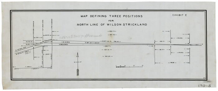
Map Defining Three Positions for North Line of Wilson Strickland

Print $20.00
- Digital $50.00
Map Defining Three Positions for North Line of Wilson Strickland
Size 25.5 x 10.7 inches
Map/Doc 91284
[G. & M. Block 5]
![91796, [G. & M. Block 5], Twichell Survey Records](https://historictexasmaps.com/wmedia_w700/maps/91796-1.tif.jpg)
![91796, [G. & M. Block 5], Twichell Survey Records](https://historictexasmaps.com/wmedia_w700/maps/91796-1.tif.jpg)
Print $20.00
- Digital $50.00
[G. & M. Block 5]
Size 22.6 x 18.9 inches
Map/Doc 91796
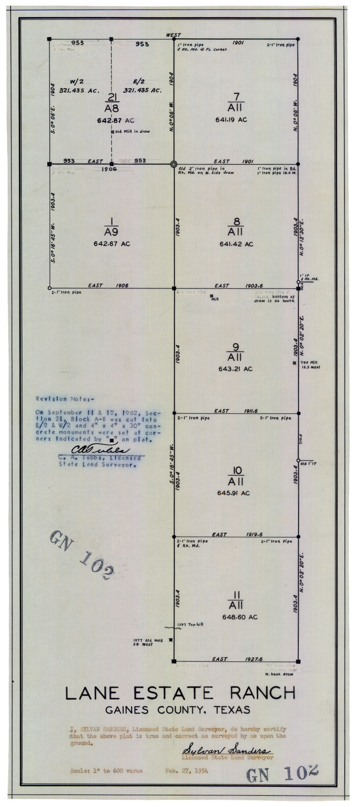
Lane Estate Ranch, Gaines County, Texas

Print $20.00
- Digital $50.00
Lane Estate Ranch, Gaines County, Texas
1954
Size 9.1 x 20.8 inches
Map/Doc 92677
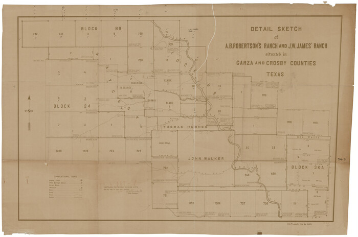
Detail Sketch of A.B. Robertson's Ranch and J.W. James' Ranch situated in Garza and Crosby Counties, Texas

Print $40.00
- Digital $50.00
Detail Sketch of A.B. Robertson's Ranch and J.W. James' Ranch situated in Garza and Crosby Counties, Texas
Size 51.8 x 34.1 inches
Map/Doc 93030
You may also like
Glasscock County Working Sketch 8


Print $20.00
- Digital $50.00
Glasscock County Working Sketch 8
Size 42.7 x 10.3 inches
Map/Doc 62189
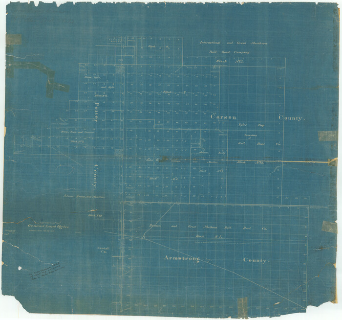
Armstrong County Rolled Sketch ACP

Print $20.00
- Digital $50.00
Armstrong County Rolled Sketch ACP
1900
Size 33.0 x 35.3 inches
Map/Doc 8425
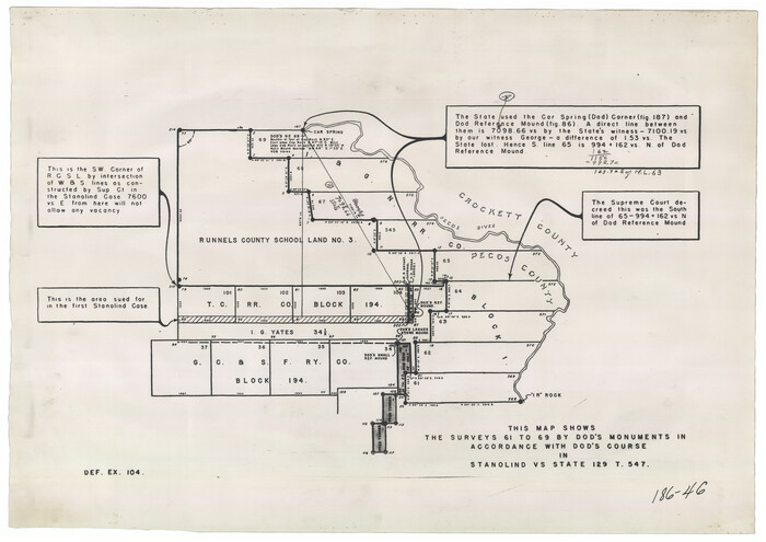
This Map Shows the Surveys 61 to 69 by Dod's Monuments in Accordance with Dod's Course in Stanolind vs. State

Print $20.00
- Digital $50.00
This Map Shows the Surveys 61 to 69 by Dod's Monuments in Accordance with Dod's Course in Stanolind vs. State
Size 17.6 x 12.5 inches
Map/Doc 91688
[Plat Showing San Gabriel & 24th Street Intersection, Outlot 4, Travis County, Texas]
![75795, [Plat Showing San Gabriel & 24th Street Intersection, Outlot 4, Travis County, Texas], Maddox Collection](https://historictexasmaps.com/wmedia_w700/maps/75795.tif.jpg)
![75795, [Plat Showing San Gabriel & 24th Street Intersection, Outlot 4, Travis County, Texas], Maddox Collection](https://historictexasmaps.com/wmedia_w700/maps/75795.tif.jpg)
Print $2.00
- Digital $50.00
[Plat Showing San Gabriel & 24th Street Intersection, Outlot 4, Travis County, Texas]
Size 11.4 x 8.7 inches
Map/Doc 75795
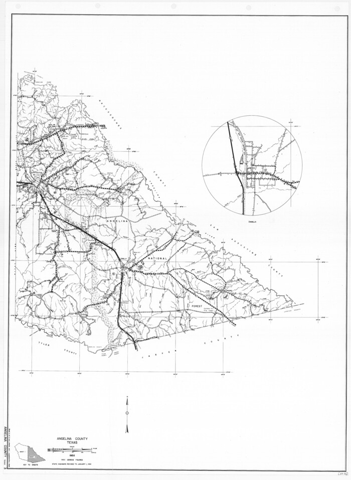
General Highway Map, Angelina County, Texas

Print $20.00
General Highway Map, Angelina County, Texas
1961
Size 25.1 x 18.4 inches
Map/Doc 79350
Concho County Working Sketch 12
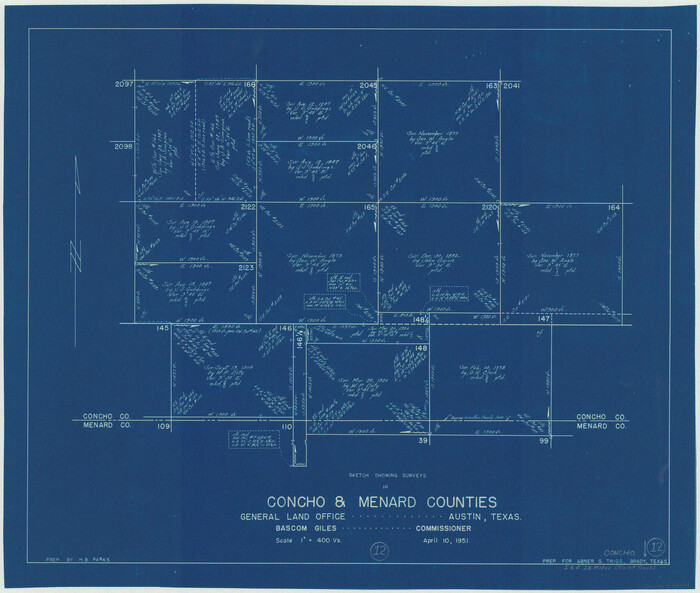

Print $20.00
- Digital $50.00
Concho County Working Sketch 12
1951
Size 23.0 x 27.2 inches
Map/Doc 68194
Williamson County Sketch File 19


Print $24.00
- Digital $50.00
Williamson County Sketch File 19
Size 12.8 x 8.0 inches
Map/Doc 40345
Anderson County Sketch File 11a
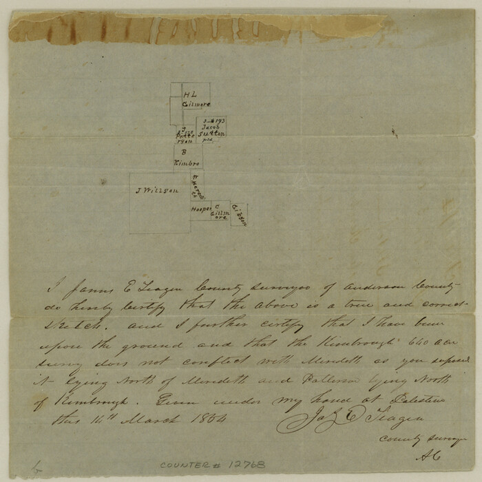

Print $6.00
- Digital $50.00
Anderson County Sketch File 11a
1854
Size 8.2 x 8.2 inches
Map/Doc 12768
Railroad and County Map of Texas


Print $20.00
Railroad and County Map of Texas
1893
Size 24.2 x 27.2 inches
Map/Doc 76255
Houston County Sketch File 8
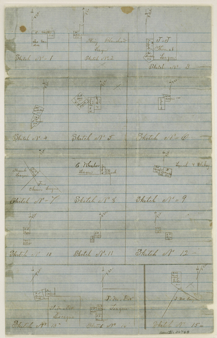

Print $22.00
- Digital $50.00
Houston County Sketch File 8
1858
Size 12.9 x 8.3 inches
Map/Doc 26768
Brewster County Sketch File S-36
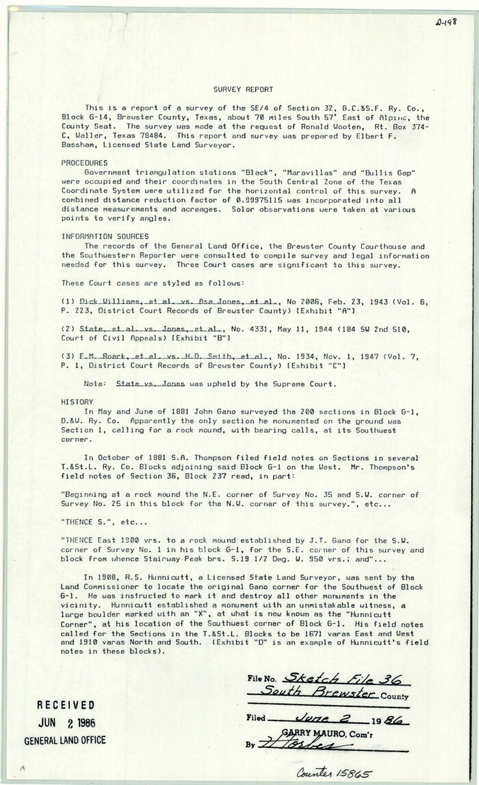

Print $80.00
- Digital $50.00
Brewster County Sketch File S-36
1986
Size 14.4 x 8.8 inches
Map/Doc 15865
Edwards County Rolled Sketch 20

Print $20.00
- Digital $50.00
Edwards County Rolled Sketch 20
1947
Size 31.6 x 40.4 inches
Map/Doc 8844
![90774, [Blocks C4, SI, and JK], Twichell Survey Records](https://historictexasmaps.com/wmedia_w1800h1800/maps/90774-1.tif.jpg)