Tom Green County Working Sketch 11
-
Map/Doc
69380
-
Collection
General Map Collection
-
Object Dates
1/4/1968 (Creation Date)
-
People and Organizations
Herbert H. Ulbricht (Draftsman)
-
Counties
Tom Green
-
Subjects
Surveying Working Sketch
-
Height x Width
33.9 x 39.2 inches
86.1 x 99.6 cm
-
Scale
1" = 400 varas
Part of: General Map Collection
[Sketch for Mineral Application 27669 - Trinity River, Frank R. Graves]
![2860, [Sketch for Mineral Application 27669 - Trinity River, Frank R. Graves], General Map Collection](https://historictexasmaps.com/wmedia_w700/maps/2860-1.tif.jpg)
![2860, [Sketch for Mineral Application 27669 - Trinity River, Frank R. Graves], General Map Collection](https://historictexasmaps.com/wmedia_w700/maps/2860-1.tif.jpg)
Print $20.00
- Digital $50.00
[Sketch for Mineral Application 27669 - Trinity River, Frank R. Graves]
1934
Size 27.4 x 42.7 inches
Map/Doc 2860
Aransas County Sketch File 33


Print $34.00
- Digital $50.00
Aransas County Sketch File 33
1919
Size 14.4 x 8.8 inches
Map/Doc 13303
Marion County Sketch File 1b


Print $8.00
- Digital $50.00
Marion County Sketch File 1b
Size 12.4 x 7.7 inches
Map/Doc 30560
Webb County Working Sketch 96

Print $20.00
- Digital $50.00
Webb County Working Sketch 96
1994
Size 36.1 x 36.3 inches
Map/Doc 72463
Bee County Working Sketch 30


Print $20.00
- Digital $50.00
Bee County Working Sketch 30
1950
Size 12.7 x 15.7 inches
Map/Doc 67281
Bexar County Sketch File 49

Print $8.00
- Digital $50.00
Bexar County Sketch File 49
1874
Size 12.6 x 8.3 inches
Map/Doc 14530
Trinity River, Allison Sheet/Denton Creek

Print $4.00
- Digital $50.00
Trinity River, Allison Sheet/Denton Creek
1928
Size 26.3 x 24.2 inches
Map/Doc 65223
Coryell County Boundary File 2


Print $4.00
- Digital $50.00
Coryell County Boundary File 2
Size 5.6 x 8.2 inches
Map/Doc 51905
Crosby County Sketch File 18


Print $26.00
- Digital $50.00
Crosby County Sketch File 18
1905
Size 14.2 x 8.5 inches
Map/Doc 20071
Presidio County Sketch File A

Print $20.00
- Digital $50.00
Presidio County Sketch File A
Size 25.6 x 21.4 inches
Map/Doc 11700
Crosby County Sketch File 1


Print $4.00
- Digital $50.00
Crosby County Sketch File 1
Size 12.8 x 8.1 inches
Map/Doc 19985
Nolan County Sketch File 4


Print $20.00
- Digital $50.00
Nolan County Sketch File 4
Size 38.8 x 33.0 inches
Map/Doc 10557
You may also like
A Topographical Map of the Government Tract adjoining the City of Austin


Print $20.00
- Digital $50.00
A Topographical Map of the Government Tract adjoining the City of Austin
1840
Size 41.9 x 37.8 inches
Map/Doc 2180
Harrison County Sketch File 9
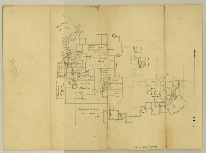

Print $4.00
- Digital $50.00
Harrison County Sketch File 9
1862
Size 8.3 x 11.1 inches
Map/Doc 26048
[Sketch showing surveys in Blocks 1, 2, 3, 5, 8, 9, B-4 and S]
![91753, [Sketch showing surveys in Blocks 1, 2, 3, 5, 8, 9, B-4 and S], Twichell Survey Records](https://historictexasmaps.com/wmedia_w700/maps/91753-1.tif.jpg)
![91753, [Sketch showing surveys in Blocks 1, 2, 3, 5, 8, 9, B-4 and S], Twichell Survey Records](https://historictexasmaps.com/wmedia_w700/maps/91753-1.tif.jpg)
Print $20.00
- Digital $50.00
[Sketch showing surveys in Blocks 1, 2, 3, 5, 8, 9, B-4 and S]
1875
Size 27.8 x 27.2 inches
Map/Doc 91753
Cottle County Sketch File E
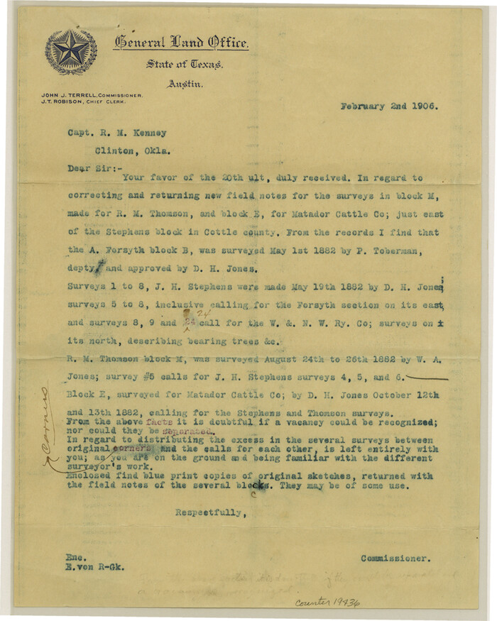

Print $52.00
- Digital $50.00
Cottle County Sketch File E
1901
Size 11.4 x 9.1 inches
Map/Doc 19436
Flight Mission No. DQO-1K, Frame 94, Galveston County


Print $20.00
- Digital $50.00
Flight Mission No. DQO-1K, Frame 94, Galveston County
1952
Size 18.9 x 22.6 inches
Map/Doc 84990
[Sketch for Mineral Application 16787 - Pecos River Bed, A. T. Freet]
![2814, [Sketch for Mineral Application 16787 - Pecos River Bed, A. T. Freet], General Map Collection](https://historictexasmaps.com/wmedia_w700/maps/2814-1.tif.jpg)
![2814, [Sketch for Mineral Application 16787 - Pecos River Bed, A. T. Freet], General Map Collection](https://historictexasmaps.com/wmedia_w700/maps/2814-1.tif.jpg)
Print $40.00
- Digital $50.00
[Sketch for Mineral Application 16787 - Pecos River Bed, A. T. Freet]
1927
Size 20.2 x 59.5 inches
Map/Doc 2814
Presidio County Rolled Sketch 22A


Print $20.00
- Digital $50.00
Presidio County Rolled Sketch 22A
1909
Size 20.6 x 31.9 inches
Map/Doc 7332
Denton County Working Sketch Graphic Index
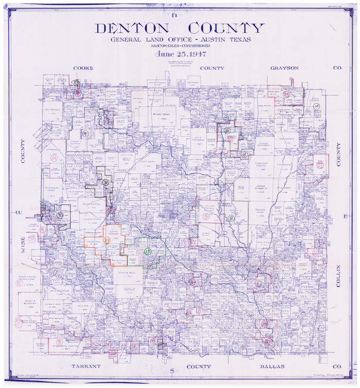

Print $20.00
- Digital $50.00
Denton County Working Sketch Graphic Index
1947
Size 41.5 x 38.5 inches
Map/Doc 76521
Crane County Rolled Sketch 17


Print $20.00
- Digital $50.00
Crane County Rolled Sketch 17
1926
Size 20.3 x 33.8 inches
Map/Doc 5576
Bird's Eye View of Cuero, De Witt County, Texas
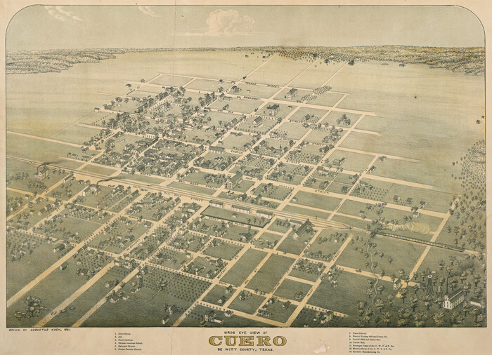

Print $20.00
Bird's Eye View of Cuero, De Witt County, Texas
1881
Size 18.4 x 25.5 inches
Map/Doc 89079
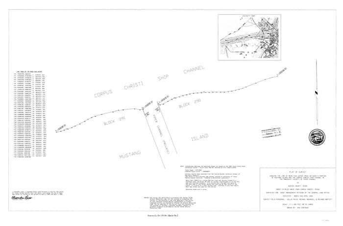
Nueces County NRC Article 33.136 Sketch 2

Print $20.00
- Digital $50.00
Nueces County NRC Article 33.136 Sketch 2
2002
Size 29.3 x 44.4 inches
Map/Doc 61622
Atascosa County Sketch File 42


Print $12.00
- Digital $50.00
Atascosa County Sketch File 42
1916
Size 11.2 x 8.8 inches
Map/Doc 13847
