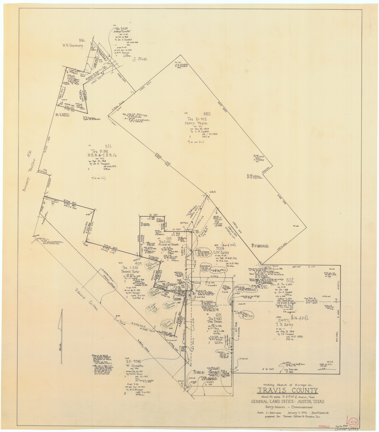
Travis County Working Sketch 59
-
Map/Doc
69443
-
Collection
General Map Collection
-
Object Dates
1/7/1992 (Creation Date)
-
People and Organizations
Joan Kilpatrick (Draftsman)
-
Counties
Travis
-
Subjects
Surveying Working Sketch
-
Height x Width
33.1 x 29.0 inches
84.1 x 73.7 cm
-
Scale
1" = 200 varas
Part of: General Map Collection
Map of Tom Green County

Print $40.00
- Digital $50.00
Map of Tom Green County
1892
Size 43.2 x 48.3 inches
Map/Doc 63070
Dimmit County Rolled Sketch 18

Print $20.00
- Digital $50.00
Dimmit County Rolled Sketch 18
1978
Size 20.2 x 26.0 inches
Map/Doc 5725
Runnels County Rolled Sketch 55

Print $20.00
- Digital $50.00
Runnels County Rolled Sketch 55
2012
Size 20.9 x 18.7 inches
Map/Doc 93386
Orange County Working Sketch 17

Print $20.00
- Digital $50.00
Orange County Working Sketch 17
1930
Size 35.6 x 26.1 inches
Map/Doc 71349
Duval County Working Sketch 39

Print $20.00
- Digital $50.00
Duval County Working Sketch 39
1960
Size 27.1 x 28.9 inches
Map/Doc 68763
Hardin County Sketch File 24a

Print $8.00
- Digital $50.00
Hardin County Sketch File 24a
1868
Size 5.8 x 7.9 inches
Map/Doc 25142
Cameron County Rolled Sketch Z9

Print $8.00
- Digital $50.00
Cameron County Rolled Sketch Z9
1847
Size 17.8 x 10.0 inches
Map/Doc 5407
Freestone County Sketch File 10

Print $40.00
- Digital $50.00
Freestone County Sketch File 10
Size 13.0 x 13.5 inches
Map/Doc 23058
Flight Mission No. CGI-3N, Frame 159, Cameron County

Print $20.00
- Digital $50.00
Flight Mission No. CGI-3N, Frame 159, Cameron County
1954
Size 18.6 x 22.3 inches
Map/Doc 84623
Scurry County Rolled Sketch 5

Print $40.00
- Digital $50.00
Scurry County Rolled Sketch 5
Size 48.4 x 41.1 inches
Map/Doc 9913
Hutchinson County Working Sketch 39

Print $20.00
- Digital $50.00
Hutchinson County Working Sketch 39
1978
Size 27.4 x 23.2 inches
Map/Doc 66399
Morris County Rolled Sketch 2A

Print $20.00
- Digital $50.00
Morris County Rolled Sketch 2A
Size 24.3 x 19.1 inches
Map/Doc 10242
You may also like
McCulloch County

Print $20.00
- Digital $50.00
McCulloch County
1895
Size 23.3 x 18.7 inches
Map/Doc 3854
West Part of Liberty Co.

Print $20.00
- Digital $50.00
West Part of Liberty Co.
1977
Size 43.5 x 32.9 inches
Map/Doc 77353
Reagan County Rolled Sketch 10

Print $20.00
- Digital $50.00
Reagan County Rolled Sketch 10
1939
Size 18.7 x 15.8 inches
Map/Doc 7438
Working Sketch in Potter & Moore Counties

Print $40.00
- Digital $50.00
Working Sketch in Potter & Moore Counties
1919
Size 54.1 x 43.5 inches
Map/Doc 89721
No. 3 Chart of Channel connecting Corpus Christi Bay with Aransas Bay, Texas

Print $20.00
- Digital $50.00
No. 3 Chart of Channel connecting Corpus Christi Bay with Aransas Bay, Texas
1878
Size 18.3 x 27.9 inches
Map/Doc 72779
Jim Hogg County Sketch File 1

Print $20.00
- Digital $50.00
Jim Hogg County Sketch File 1
1931
Size 18.2 x 26.7 inches
Map/Doc 11883
Tom Green County Boundary File 87

Print $10.00
- Digital $50.00
Tom Green County Boundary File 87
Size 9.1 x 4.0 inches
Map/Doc 59393
Grayson County Sketch File 3

Print $4.00
- Digital $50.00
Grayson County Sketch File 3
1855
Size 12.4 x 8.4 inches
Map/Doc 24460
Kinney County Rolled Sketch 14

Print $20.00
- Digital $50.00
Kinney County Rolled Sketch 14
1956
Size 19.5 x 25.8 inches
Map/Doc 6543
Caldwell County Sketch File 4

Print $8.00
- Digital $50.00
Caldwell County Sketch File 4
Size 8.8 x 6.9 inches
Map/Doc 35831
General Highway Map, Coryell County, Texas

Print $20.00
General Highway Map, Coryell County, Texas
1961
Size 18.1 x 24.8 inches
Map/Doc 79422
The Republic County of Colorado. 1841

Print $20.00
The Republic County of Colorado. 1841
2020
Size 18.4 x 21.7 inches
Map/Doc 96123