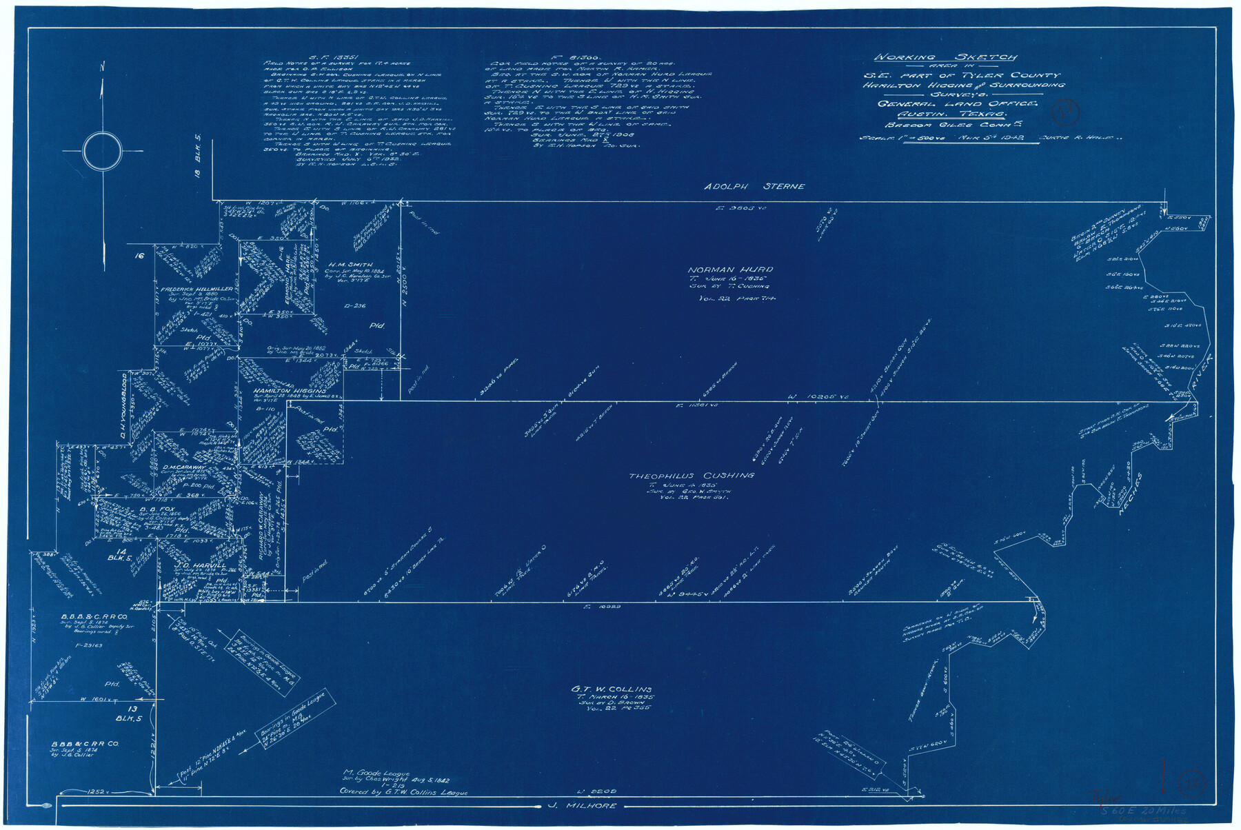
Tyler County Working Sketch 12
-
Map/Doc
69482
-
Collection
General Map Collection
-
Object Dates
3/5/1942 (Creation Date)
-
People and Organizations
Curtis R. Hale (Draftsman)
-
Counties
Tyler
-
Subjects
Surveying Working Sketch
-
Height x Width
21.2 x 31.7 inches
53.9 x 80.5 cm
-
Scale
1" = 500 varas
Part of: General Map Collection
Henderson County Boundary File 2b

Print $14.00
- Digital $50.00
Henderson County Boundary File 2b
Size 14.1 x 8.7 inches
Map/Doc 54662
Runnels County Working Sketch 34

Print $20.00
- Digital $50.00
Runnels County Working Sketch 34
1974
Size 14.0 x 14.9 inches
Map/Doc 63632
Flight Mission No. DQO-12K, Frame 36, Galveston County

Print $20.00
- Digital $50.00
Flight Mission No. DQO-12K, Frame 36, Galveston County
1952
Size 18.8 x 22.6 inches
Map/Doc 85227
Glasscock County Rolled Sketch 3

Print $20.00
- Digital $50.00
Glasscock County Rolled Sketch 3
1906
Size 19.0 x 13.7 inches
Map/Doc 6014
Hunt County Sketch File 3

Print $4.00
- Digital $50.00
Hunt County Sketch File 3
1856
Size 6.0 x 8.1 inches
Map/Doc 27085
Castro County Sketch File 3

Print $4.00
- Digital $50.00
Castro County Sketch File 3
1902
Size 11.2 x 8.9 inches
Map/Doc 17458
Panola County Sketch File 6

Print $4.00
- Digital $50.00
Panola County Sketch File 6
1862
Size 7.9 x 5.0 inches
Map/Doc 33455
Maverick County

Print $20.00
- Digital $50.00
Maverick County
1863
Size 24.4 x 36.6 inches
Map/Doc 3847
Montague County Working Sketch 8

Print $20.00
- Digital $50.00
Montague County Working Sketch 8
1928
Size 20.9 x 18.9 inches
Map/Doc 71074
Runnels County Working Sketch 30b

Print $20.00
- Digital $50.00
Runnels County Working Sketch 30b
Size 23.2 x 25.3 inches
Map/Doc 63627

Flight Mission No. DAH-17M, Frame 66, Orange County

Print $20.00
- Digital $50.00
Flight Mission No. DAH-17M, Frame 66, Orange County
1953
Size 18.6 x 22.3 inches
Map/Doc 86900
You may also like
Flight Mission No. CLL-4N, Frame 37, Willacy County

Print $20.00
- Digital $50.00
Flight Mission No. CLL-4N, Frame 37, Willacy County
1954
Size 18.4 x 22.1 inches
Map/Doc 87110
Zavala County Working Sketch 15

Print $20.00
- Digital $50.00
Zavala County Working Sketch 15
1977
Size 27.8 x 23.9 inches
Map/Doc 62090
St. Louis Southwestern Railway of Texas

Print $40.00
- Digital $50.00
St. Louis Southwestern Railway of Texas
1905
Size 15.3 x 87.2 inches
Map/Doc 64445
History of the Geography of Texas

Print $40.00
- Digital $50.00
History of the Geography of Texas
1897
Size 70.7 x 52.9 inches
Map/Doc 3095
Revised Sectional Map No. 3 Showing Land Surveys in Counties of Loving and Reeves and Portions of Winkler, Ward, Pecos, Jeff Davis and El Paso

Print $20.00
- Digital $50.00
Revised Sectional Map No. 3 Showing Land Surveys in Counties of Loving and Reeves and Portions of Winkler, Ward, Pecos, Jeff Davis and El Paso
Size 24.7 x 19.4 inches
Map/Doc 92902
Moore County Rolled Sketch 14A

Print $20.00
- Digital $50.00
Moore County Rolled Sketch 14A
1981
Size 21.8 x 27.5 inches
Map/Doc 6831
Outer Continental Shelf Leasing Maps (Texas Offshore Operations)

Print $20.00
- Digital $50.00
Outer Continental Shelf Leasing Maps (Texas Offshore Operations)
1954
Size 11.6 x 12.3 inches
Map/Doc 75835
Chambers County Rolled Sketch 33

Print $71.00
- Digital $50.00
Chambers County Rolled Sketch 33
1950
Size 10.7 x 15.6 inches
Map/Doc 44106
In the Supreme Court of the United States The State of Oklahoma, Complainant vs. The State of Texas, Defendant, The United States of America, Intervener - 1920

Print $20.00
- Digital $50.00
In the Supreme Court of the United States The State of Oklahoma, Complainant vs. The State of Texas, Defendant, The United States of America, Intervener - 1920
1920
Size 39.4 x 35.7 inches
Map/Doc 75264
Marion County Working Sketch 2

Print $20.00
- Digital $50.00
Marion County Working Sketch 2
Size 37.5 x 28.2 inches
Map/Doc 70777
Hockley County Sketch File 7

Print $20.00
- Digital $50.00
Hockley County Sketch File 7
Size 21.0 x 22.5 inches
Map/Doc 11770
General Highway Map. Detail of Cities and Towns in Hale County, Texas [Plainview and vicinity]
![79109, General Highway Map. Detail of Cities and Towns in Hale County, Texas [Plainview and vicinity], Texas State Library and Archives](https://historictexasmaps.com/wmedia_w700/maps/79109.tif.jpg)
Print $20.00
General Highway Map. Detail of Cities and Towns in Hale County, Texas [Plainview and vicinity]
1940
Size 25.0 x 18.5 inches
Map/Doc 79109