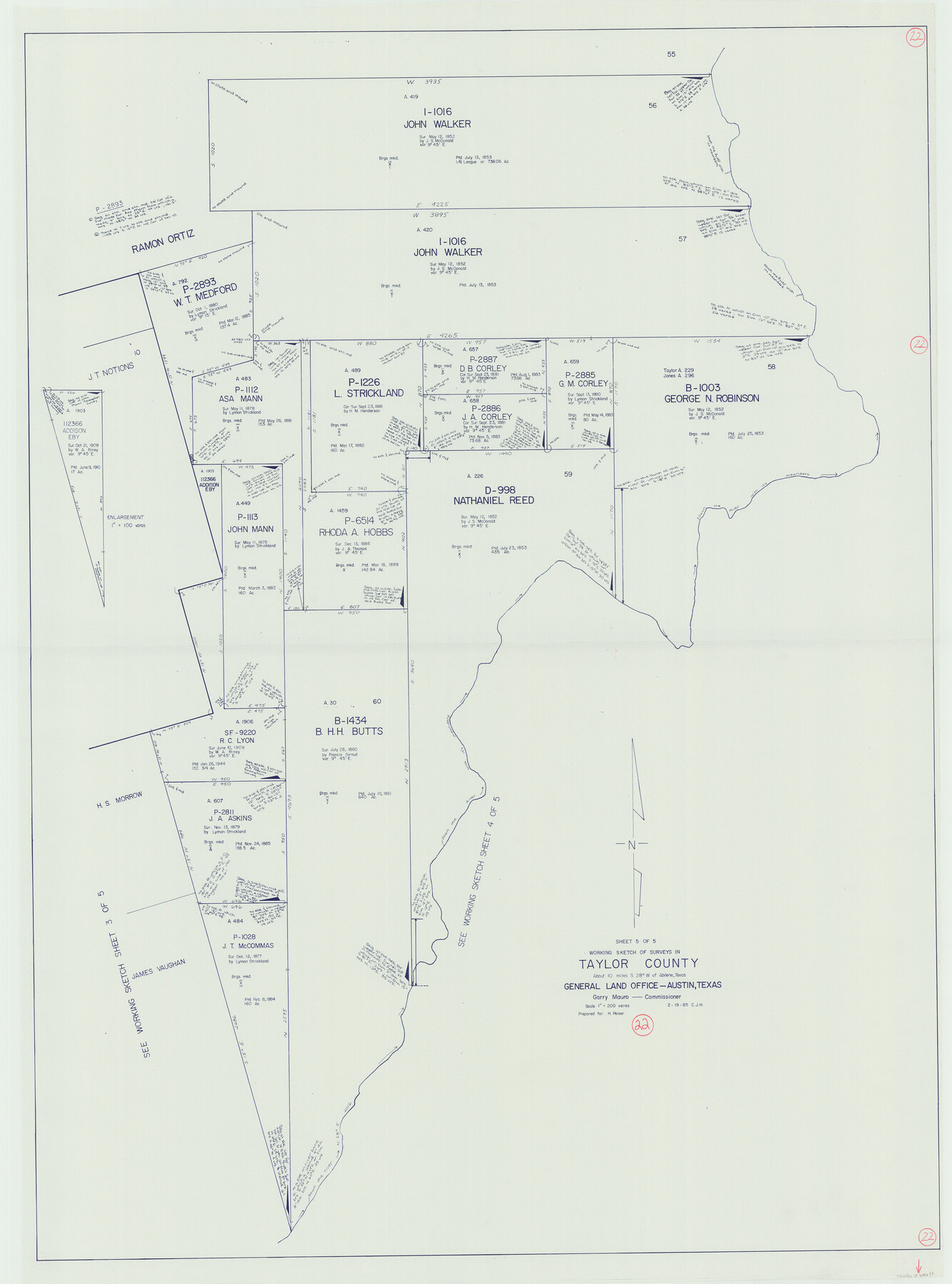
Taylor County Working Sketch 22
-
Map/Doc
69632
-
Collection
General Map Collection
-
Object Dates
2/19/1985 (Creation Date)
-
People and Organizations
Huffman, Cynthia J. (Draftsman)
-
Counties
Taylor
-
Subjects
Surveying Working Sketch
-
Height x Width
50.3 x 37.3 inches
127.8 x 94.7 cm
-
Scale
1" = 200 varas
Part of: General Map Collection
Map of Henderson Co.

Print $40.00
- Digital $50.00
Map of Henderson Co.
1886
Size 27.8 x 57.6 inches
Map/Doc 3663
Mills County Working Sketch Graphic Index

Print $20.00
- Digital $50.00
Mills County Working Sketch Graphic Index
1976
Size 35.6 x 45.1 inches
Map/Doc 76643

Lavaca County Working Sketch 6

Print $20.00
- Digital $50.00
Lavaca County Working Sketch 6
1941
Size 20.8 x 22.0 inches
Map/Doc 70359
Plat Showing Theoretical Original City Limits of Corpus Christi

Print $20.00
- Digital $50.00
Plat Showing Theoretical Original City Limits of Corpus Christi
Size 41.3 x 41.7 inches
Map/Doc 4838
Kendall County Working Sketch 27

Print $20.00
- Digital $50.00
Kendall County Working Sketch 27
1994
Size 25.0 x 37.5 inches
Map/Doc 66700
Cameron County Rolled Sketch 33

Print $20.00
- Digital $50.00
Cameron County Rolled Sketch 33
1996
Size 40.2 x 21.9 inches
Map/Doc 5396
Flight Mission No. CLL-3N, Frame 38, Willacy County

Print $20.00
- Digital $50.00
Flight Mission No. CLL-3N, Frame 38, Willacy County
1954
Size 18.6 x 22.2 inches
Map/Doc 87096
Fisher County Working Sketch 6

Print $20.00
- Digital $50.00
Fisher County Working Sketch 6
1929
Size 38.7 x 33.6 inches
Map/Doc 69140
[Right of Way Map, Belton Branch of the M.K.&T. RR.]
![64222, [Right of Way Map, Belton Branch of the M.K.&T. RR.], General Map Collection](https://historictexasmaps.com/wmedia_w700/maps/64222.tif.jpg)
Print $20.00
- Digital $50.00
[Right of Way Map, Belton Branch of the M.K.&T. RR.]
1896
Size 21.9 x 7.4 inches
Map/Doc 64222
Terrell County Working Sketch 53

Print $40.00
- Digital $50.00
Terrell County Working Sketch 53
1958
Size 61.9 x 39.7 inches
Map/Doc 62146
King County Rolled Sketch 8

Print $20.00
- Digital $50.00
King County Rolled Sketch 8
1902
Size 34.8 x 29.8 inches
Map/Doc 6531
You may also like
Flight Mission No. BQR-22K, Frame 35, Brazoria County

Print $20.00
- Digital $50.00
Flight Mission No. BQR-22K, Frame 35, Brazoria County
1953
Size 18.7 x 22.5 inches
Map/Doc 84119
Liberty County Working Sketch 39

Print $20.00
- Digital $50.00
Liberty County Working Sketch 39
1951
Size 26.2 x 24.1 inches
Map/Doc 70498
Wilbarger County Sketch File 6

Print $6.00
- Digital $50.00
Wilbarger County Sketch File 6
1874
Size 12.6 x 7.8 inches
Map/Doc 40172
Young County Working Sketch 28

Print $20.00
- Digital $50.00
Young County Working Sketch 28
1985
Size 29.9 x 26.0 inches
Map/Doc 62051
Dimmit County Sketch File 20a

Print $2.00
- Digital $50.00
Dimmit County Sketch File 20a
Size 9.3 x 4.3 inches
Map/Doc 21103
Outer Continental Shelf Leasing Map, Texas

Print $20.00
- Digital $50.00
Outer Continental Shelf Leasing Map, Texas
1954
Size 17.3 x 22.2 inches
Map/Doc 75832
Crockett County Rolled Sketch 71

Print $40.00
- Digital $50.00
Crockett County Rolled Sketch 71
1949
Size 54.5 x 38.9 inches
Map/Doc 8722

Map of the country adjacent to the left bank of the Rio Grande below Matamoros

Print $20.00
- Digital $50.00
Map of the country adjacent to the left bank of the Rio Grande below Matamoros
1847
Size 18.3 x 27.3 inches
Map/Doc 72868
Montgomery County Working Sketch 68

Print $20.00
- Digital $50.00
Montgomery County Working Sketch 68
1972
Size 25.9 x 33.7 inches
Map/Doc 71175
Oyster Creek, Texas showing connection with Brazos River & Oyster Bay by the Galveston & Brazos Canal for a Light Draft Navigation

Print $40.00
- Digital $50.00
Oyster Creek, Texas showing connection with Brazos River & Oyster Bay by the Galveston & Brazos Canal for a Light Draft Navigation
Size 18.0 x 52.9 inches
Map/Doc 96562
Bee County Working Sketch 33

Print $20.00
- Digital $50.00
Bee County Working Sketch 33
1980
Size 32.0 x 28.2 inches
Map/Doc 67284