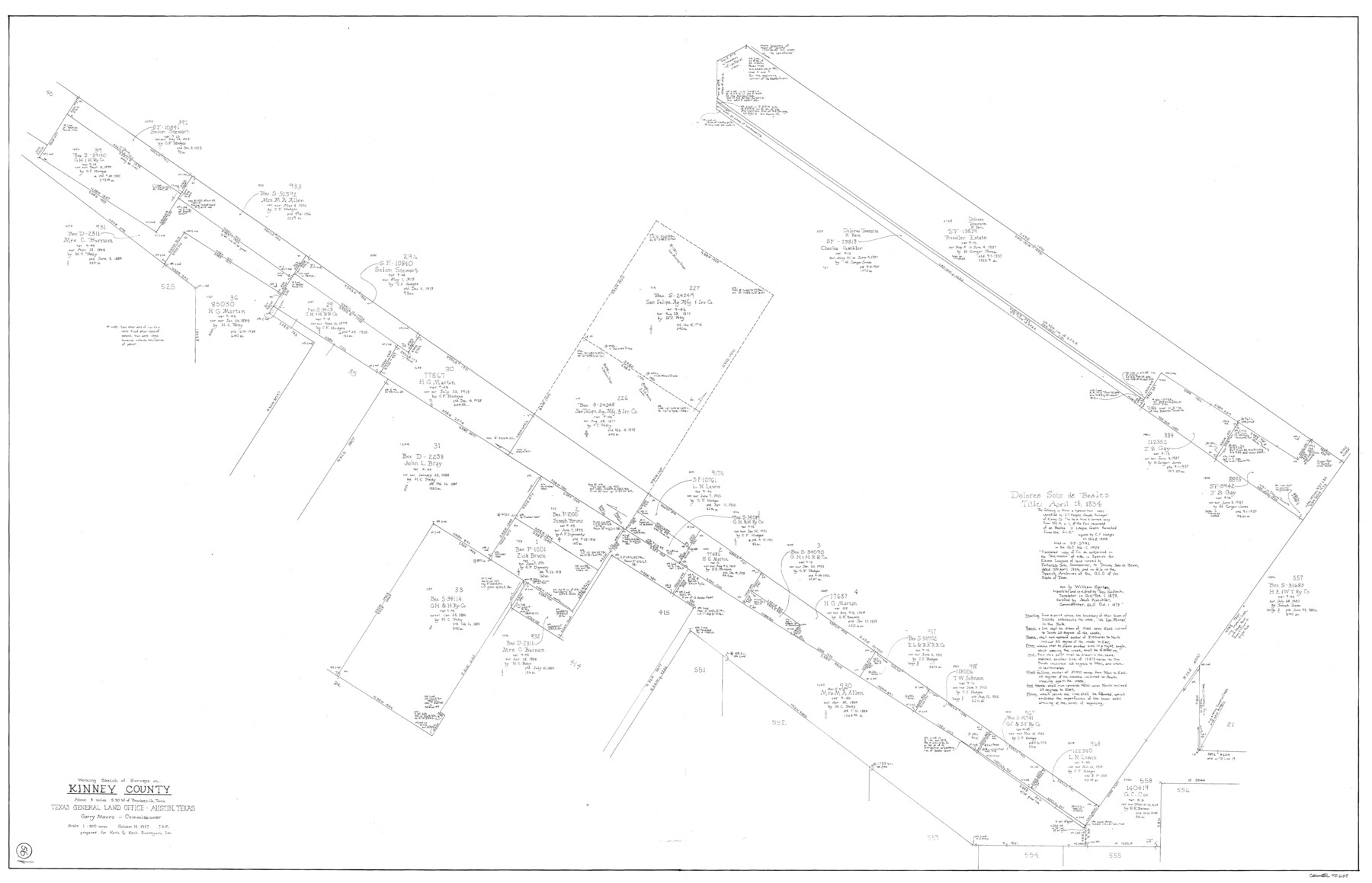
Kinney County Working Sketch 56
-
Map/Doc
70238
-
Collection
General Map Collection
-
Object Dates
10/14/1987 (Creation Date)
-
People and Organizations
Joan Kilpatrick (Draftsman)
-
Counties
Kinney
-
Subjects
Surveying Working Sketch
-
Height x Width
40.5 x 62.8 inches
102.9 x 159.5 cm
-
Scale
1" = 300 varas
Part of: General Map Collection
Brewster County Working Sketch 57

Print $20.00
- Digital $50.00
Brewster County Working Sketch 57
1954
Size 19.6 x 20.8 inches
Map/Doc 67658
Armstrong County Sketch File A-9

Print $40.00
- Digital $50.00
Armstrong County Sketch File A-9
1920
Size 13.7 x 35.4 inches
Map/Doc 10851
Kent County Working Sketch 4

Print $20.00
- Digital $50.00
Kent County Working Sketch 4
1948
Size 27.9 x 25.8 inches
Map/Doc 70011
Milam County Sketch File 7

Print $6.00
- Digital $50.00
Milam County Sketch File 7
1838
Size 13.0 x 8.0 inches
Map/Doc 31636
Comanche County Boundary File 1

Print $20.00
- Digital $50.00
Comanche County Boundary File 1
Size 14.4 x 8.8 inches
Map/Doc 51778
Zavala County Working Sketch 2

Print $20.00
- Digital $50.00
Zavala County Working Sketch 2
Size 21.5 x 16.5 inches
Map/Doc 62077
Flight Mission No. DQO-2K, Frame 143, Galveston County

Print $20.00
- Digital $50.00
Flight Mission No. DQO-2K, Frame 143, Galveston County
1952
Size 18.8 x 22.5 inches
Map/Doc 85040
San Augustine County Working Sketch 7

Print $20.00
- Digital $50.00
San Augustine County Working Sketch 7
1935
Size 24.7 x 34.8 inches
Map/Doc 63694
Bosque County Sketch File 26

Print $4.00
- Digital $50.00
Bosque County Sketch File 26
1868
Size 8.1 x 7.5 inches
Map/Doc 14811
Hudspeth County Working Sketch 60

Print $20.00
- Digital $50.00
Hudspeth County Working Sketch 60
1992
Size 36.1 x 33.6 inches
Map/Doc 66345
Young Land District

Print $20.00
- Digital $50.00
Young Land District
1857
Size 21.7 x 29.7 inches
Map/Doc 1974
Map of Bastrop County

Print $20.00
- Digital $50.00
Map of Bastrop County
1861
Size 26.3 x 29.0 inches
Map/Doc 3280
You may also like
Colorado River, New Taiton Sheet

Print $6.00
- Digital $50.00
Colorado River, New Taiton Sheet
1939
Size 27.4 x 35.4 inches
Map/Doc 65313
Montgomery County Sketch File 14

Print $42.00
- Digital $50.00
Montgomery County Sketch File 14
1905
Size 11.0 x 8.8 inches
Map/Doc 31805

Shelby County

Print $20.00
- Digital $50.00
Shelby County
1945
Size 41.6 x 45.9 inches
Map/Doc 73288
Flight Mission No. DCL-6C, Frame 27, Kenedy County

Print $20.00
- Digital $50.00
Flight Mission No. DCL-6C, Frame 27, Kenedy County
1943
Size 18.7 x 22.4 inches
Map/Doc 85884
Liberty County Sketch File 19

Print $6.00
- Digital $50.00
Liberty County Sketch File 19
1859
Size 13.6 x 9.4 inches
Map/Doc 29923
Flight Mission No. BRE-2P, Frame 94, Nueces County

Print $20.00
- Digital $50.00
Flight Mission No. BRE-2P, Frame 94, Nueces County
1956
Size 18.6 x 22.3 inches
Map/Doc 86779
Dallas County Working Sketch 12

Print $20.00
- Digital $50.00
Dallas County Working Sketch 12
1983
Size 30.5 x 44.1 inches
Map/Doc 68578
[San Antonio & Aransas Pass Railway Co.]
![64260, [San Antonio & Aransas Pass Railway Co.], General Map Collection](https://historictexasmaps.com/wmedia_w700/maps/64260.tif.jpg)
Print $20.00
- Digital $50.00
[San Antonio & Aransas Pass Railway Co.]
Size 18.5 x 29.4 inches
Map/Doc 64260
A Correct Map of the Seat of War in Mexico

Print $20.00
A Correct Map of the Seat of War in Mexico
1847
Size 28.3 x 21.1 inches
Map/Doc 79725
The Republic County of Jackson. September 17, 1838

Print $20.00
The Republic County of Jackson. September 17, 1838
2020
Size 15.6 x 21.8 inches
Map/Doc 96185
Liberty County Sketch File 27a

Print $4.00
- Digital $50.00
Liberty County Sketch File 27a
1870
Size 11.6 x 9.0 inches
Map/Doc 29950