
Kinney County Sketch File 12
1885
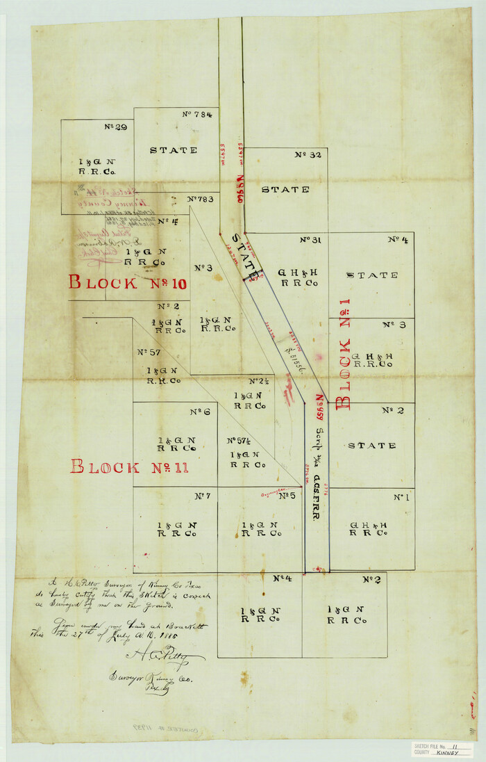
Kinney County Sketch File 11
1885

Kinney County Sketch File 15
1887
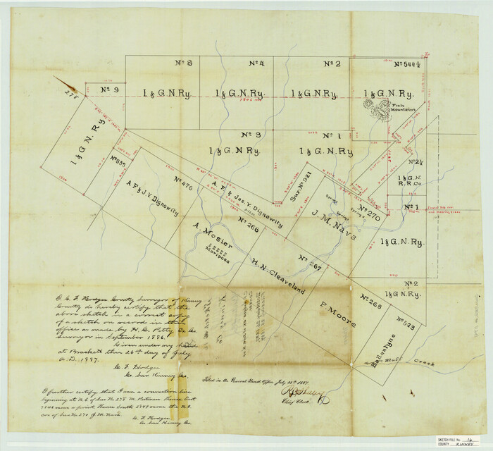
Kinney County Sketch File 16
1887
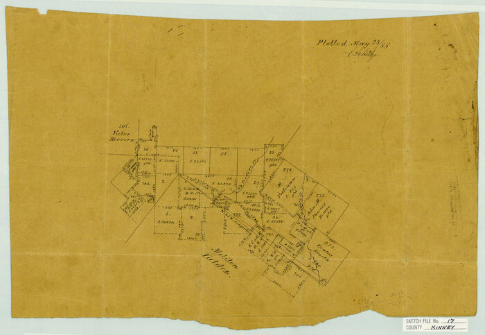
Kinney County Sketch File 17
1888
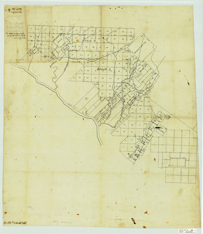
Kinney County Sketch File 18

Kinney County Sketch File 25
1927

Kinney County Sketch File 26
1928
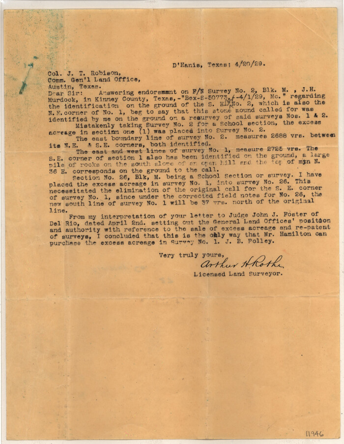
Kinney County Sketch File 27
1929
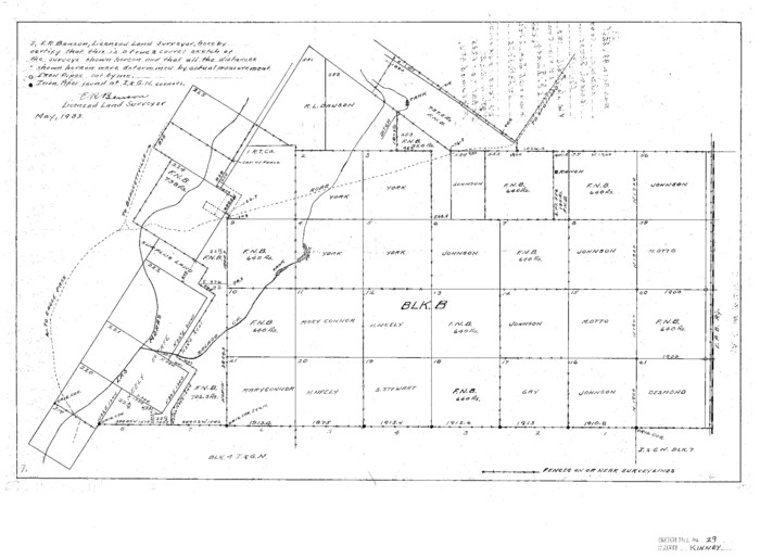
Kinney County Sketch File 29
1933
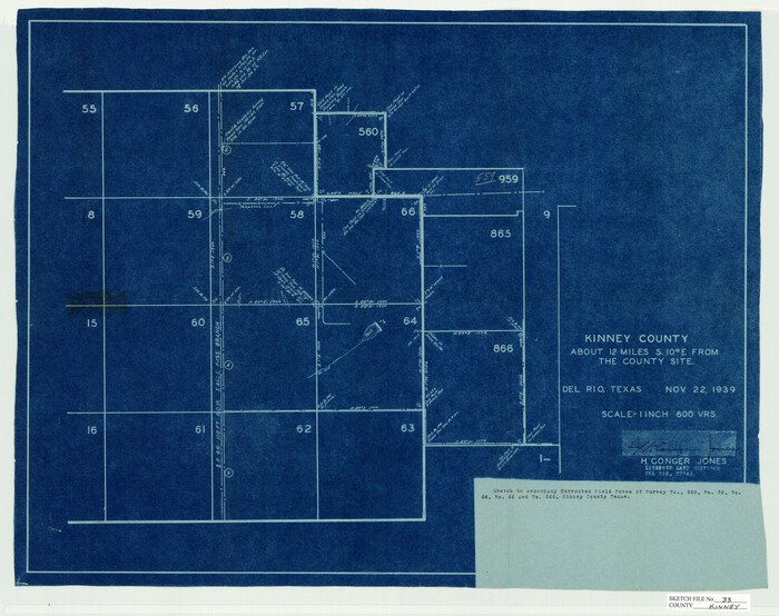
Kinney County Sketch File 33
1939

Kinney County Sketch File 36
1946

Kinney County Sketch File 37
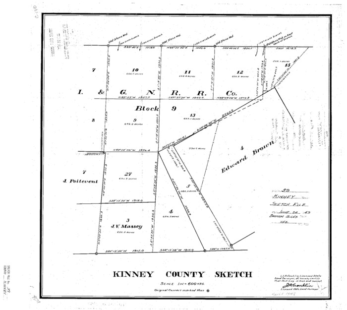
Kinney County Sketch File 39
1948

Kinney County Sketch File A1
1905
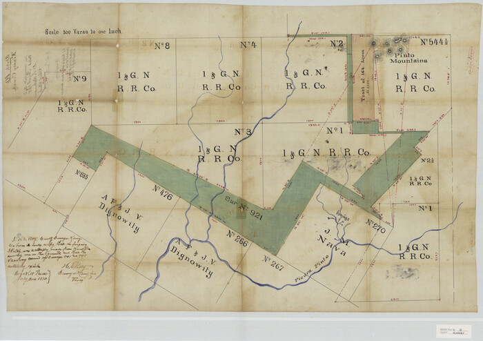
Kinney County Sketch File D
1885

Uvalde County Sketch File 12A
1887

Map of Kinney County
1889

Map of the Western Part of Bexar District
1849
Edwards County Sketch File 1

Kinney County Sketch File B
1873

Kinney County Sketch File 5

Kinney County Sketch File E
1885

Kinney County Sketch File 14
1886
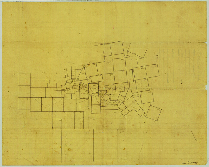
Kinney County Sketch File 16a
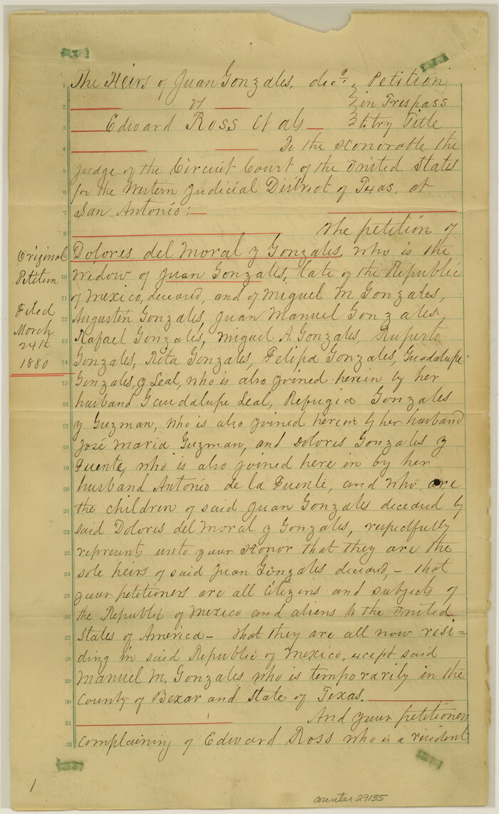
Kinney County Sketch File 21
1887

Kinney County Sketch File 22
1891

Kinney County Sketch File 23
1901

Kinney County Sketch File 12
1885
-
Size
20.7 x 38.6 inches
-
Map/Doc
10618
-
Creation Date
1885

Kinney County Sketch File 11
1885
-
Size
28.3 x 18.1 inches
-
Map/Doc
11939
-
Creation Date
1885

Kinney County Sketch File 15
1887
-
Size
13.0 x 19.0 inches
-
Map/Doc
11940
-
Creation Date
1887

Kinney County Sketch File 16
1887
-
Size
23.2 x 25.4 inches
-
Map/Doc
11941
-
Creation Date
1887

Kinney County Sketch File 17
1888
-
Size
11.7 x 16.9 inches
-
Map/Doc
11942
-
Creation Date
1888

Kinney County Sketch File 18
-
Size
29.0 x 25.2 inches
-
Map/Doc
11943

Kinney County Sketch File 25
1927
-
Size
19.1 x 18.9 inches
-
Map/Doc
11944
-
Creation Date
1927

Kinney County Sketch File 26
1928
-
Size
20.4 x 18.8 inches
-
Map/Doc
11945
-
Creation Date
1928

Kinney County Sketch File 27
1929
-
Size
32.4 x 13.2 inches
-
Map/Doc
11946
-
Creation Date
1929

Kinney County Sketch File 29
1933
-
Size
15.5 x 21.1 inches
-
Map/Doc
11947
-
Creation Date
1933

Kinney County Sketch File 33
1939
-
Size
18.1 x 22.8 inches
-
Map/Doc
11948
-
Creation Date
1939

Kinney County Sketch File 36
1946
-
Size
19.2 x 22.0 inches
-
Map/Doc
11949
-
Creation Date
1946

Kinney County Sketch File 37
-
Size
19.0 x 23.4 inches
-
Map/Doc
11950

Kinney County Sketch File 39
1948
-
Size
18.8 x 21.0 inches
-
Map/Doc
11951
-
Creation Date
1948

Kinney County Sketch File A1
1905
-
Size
35.4 x 27.6 inches
-
Map/Doc
11952
-
Creation Date
1905

Kinney County Sketch File D
1885
-
Size
25.1 x 35.6 inches
-
Map/Doc
11953
-
Creation Date
1885

Uvalde County Sketch File 12A
1887
-
Size
19.2 x 30.0 inches
-
Map/Doc
12527
-
Creation Date
1887
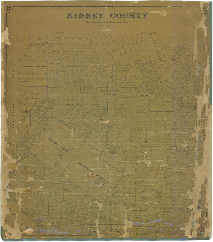
Kinney County
1909
-
Size
48.4 x 42.7 inches
-
Map/Doc
16868
-
Creation Date
1909

Map of Kinney County
1889
-
Size
50.1 x 41.1 inches
-
Map/Doc
16869
-
Creation Date
1889

Map of the Western Part of Bexar District
1849
-
Size
64.0 x 54.3 inches
-
Map/Doc
16944
-
Creation Date
1849
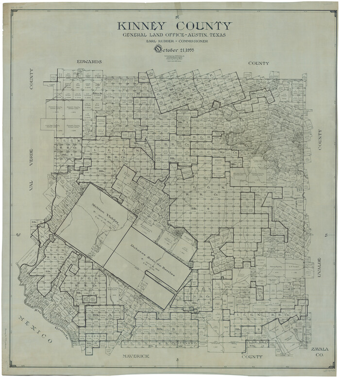
Kinney County
1955
-
Size
51.0 x 46.3 inches
-
Map/Doc
1877
-
Creation Date
1955

Edwards County Sketch File 1
-
Size
9.2 x 7.0 inches
-
Map/Doc
21672

Kinney County Sketch File B
1873
-
Size
11.9 x 8.1 inches
-
Map/Doc
29119
-
Creation Date
1873

Kinney County Sketch File 5
-
Size
5.7 x 13.1 inches
-
Map/Doc
29123

Kinney County Sketch File E
1885
-
Size
10.7 x 8.1 inches
-
Map/Doc
29124
-
Creation Date
1885

Kinney County Sketch File 14
1886
-
Size
10.9 x 16.6 inches
-
Map/Doc
29131
-
Creation Date
1886

Kinney County Sketch File 16a
-
Size
12.8 x 16.0 inches
-
Map/Doc
29133

Kinney County Sketch File 21
1887
-
Size
14.4 x 8.8 inches
-
Map/Doc
29135
-
Creation Date
1887

Kinney County Sketch File 22
1891
-
Size
10.1 x 12.3 inches
-
Map/Doc
29160
-
Creation Date
1891

Kinney County Sketch File 23
1901
-
Size
17.6 x 15.3 inches
-
Map/Doc
29162
-
Creation Date
1901