
Kinney County Working Sketch 59
1999

Kinney County Working Sketch 58
1996
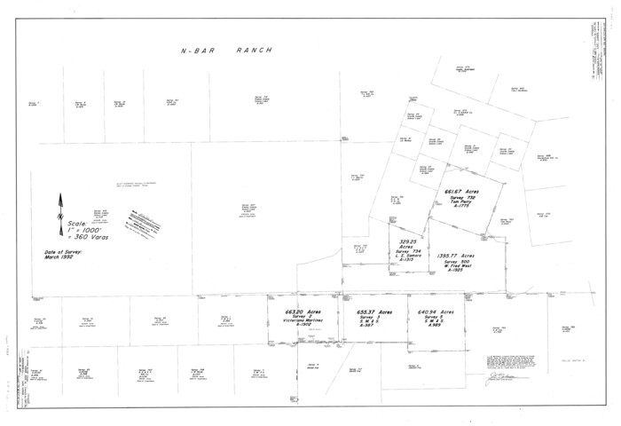
Kinney County Rolled Sketch 21
1992
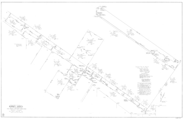
Kinney County Working Sketch 56
1987
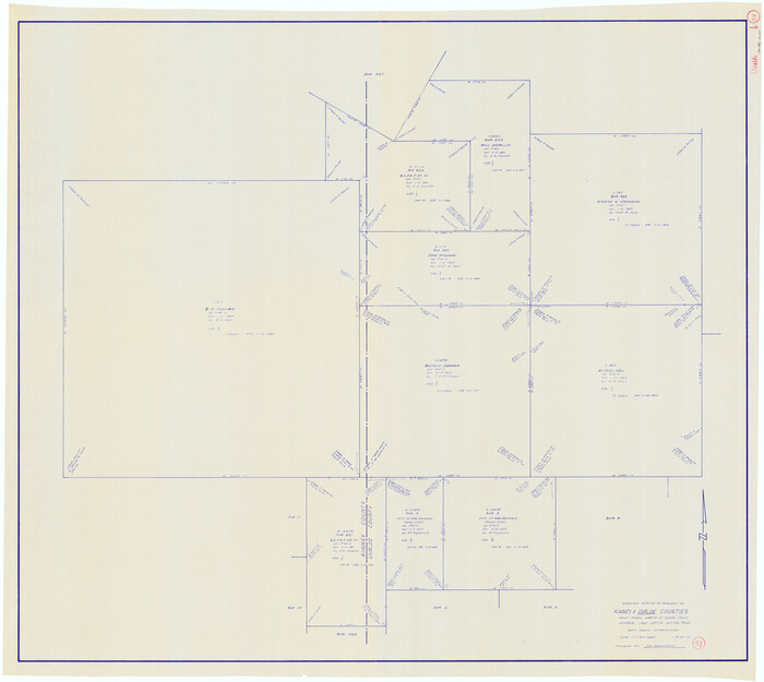
Uvalde County Working Sketch 57
1985
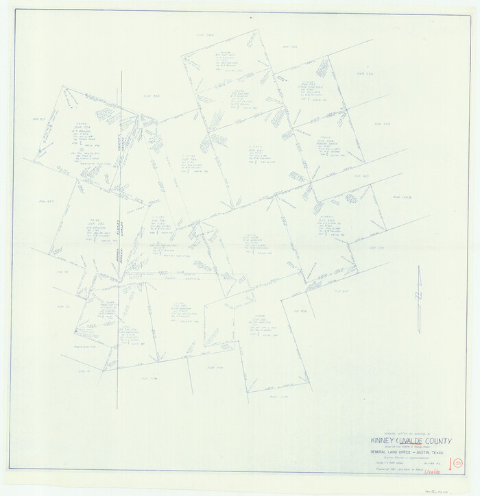
Uvalde County Working Sketch 55
1983
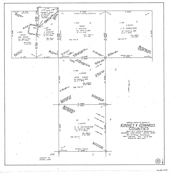
Kinney County Working Sketch 55
1982

Kinney County Working Sketch 54
1981
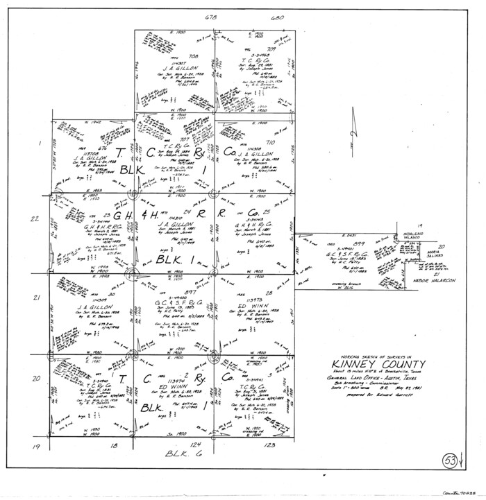
Kinney County Working Sketch 53
1981

Uvalde County Sketch File 28
1980
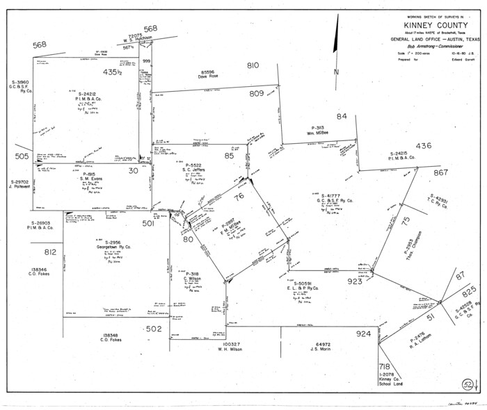
Kinney County Working Sketch 52
1980
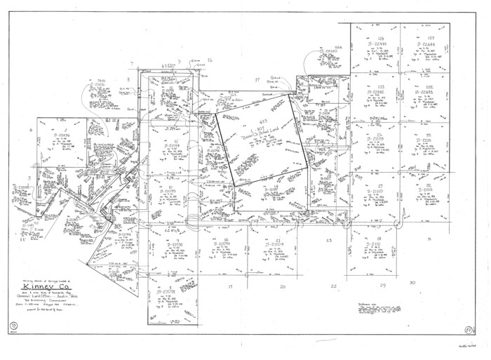
Kinney County Working Sketch 51
1980
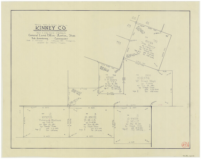
Kinney County Working Sketch 49
1980
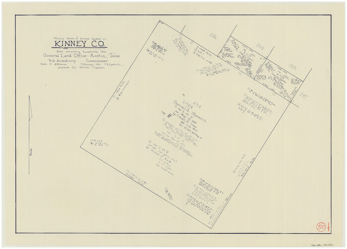
Kinney County Working Sketch 50
1980
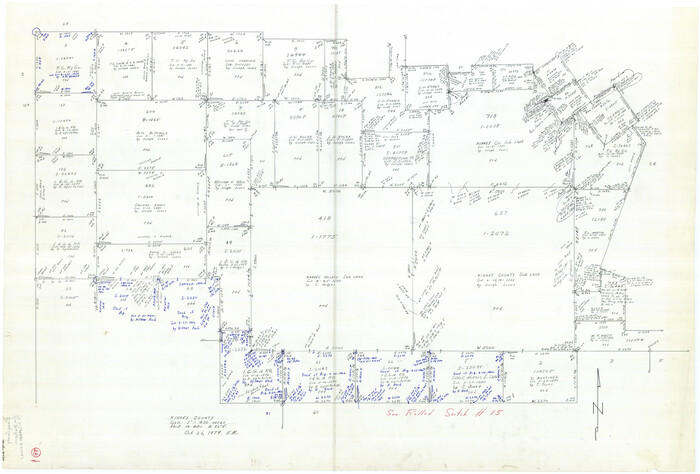
Kinney County Working Sketch 48
1979

Kinney County Rolled Sketch 20
1979
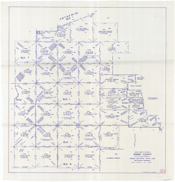
Kinney County Working Sketch 47
1979

Kinney County Working Sketch 46
1978
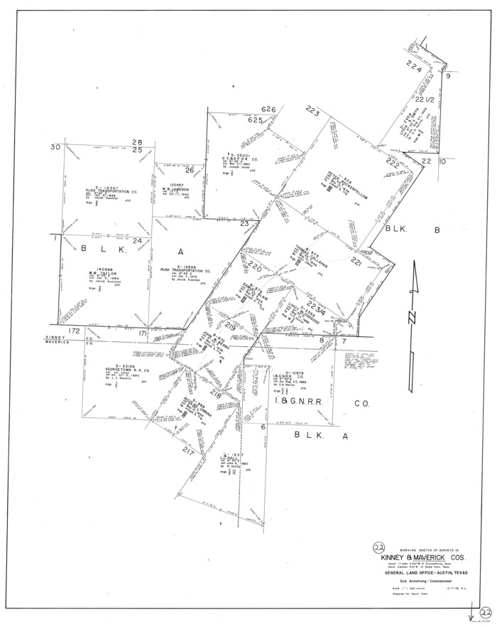
Maverick County Working Sketch 22
1978

Kinney County Working Sketch 45
1978

Uvalde County Working Sketch 43
1978

Kinney County Rolled Sketch 19
1978
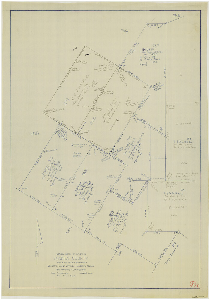
Kinney County Working Sketch 44
1978
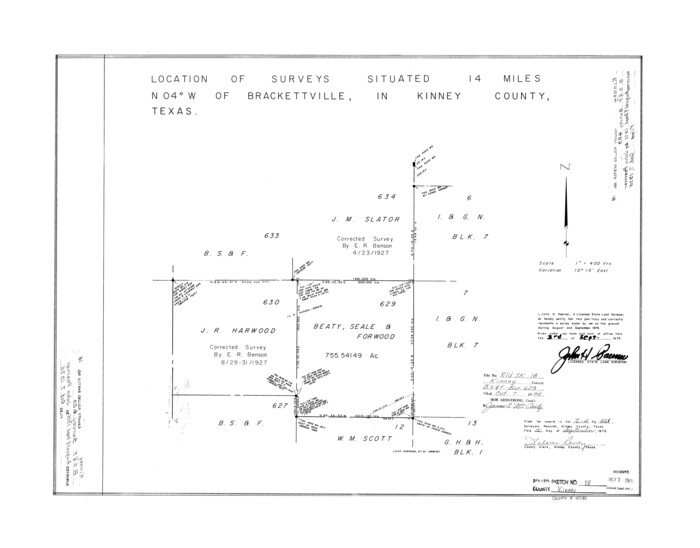
Kinney County Rolled Sketch 18
1975
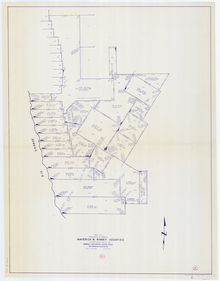
Maverick County Working Sketch 19
1975

Maverick County Working Sketch 18
1975
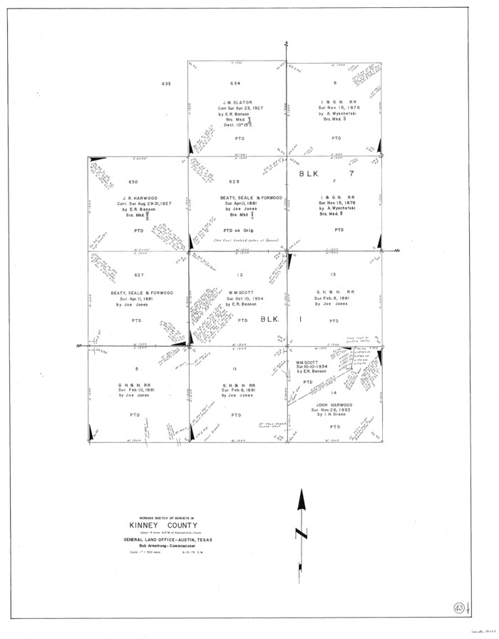
Kinney County Working Sketch 43
1975
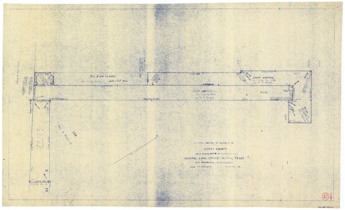
Kinney County Working Sketch 42
1973

Val Verde County Working Sketch 88
1973

Kinney County Working Sketch 41
1973

Kinney County Working Sketch 59
1999
-
Size
19.9 x 24.8 inches
-
Map/Doc
70241
-
Creation Date
1999

Kinney County Working Sketch 58
1996
-
Size
36.1 x 31.7 inches
-
Map/Doc
70240
-
Creation Date
1996

Kinney County Rolled Sketch 21
1992
-
Size
39.2 x 57.2 inches
-
Map/Doc
9358
-
Creation Date
1992

Kinney County Working Sketch 56
1987
-
Size
40.5 x 62.8 inches
-
Map/Doc
70238
-
Creation Date
1987

Uvalde County Working Sketch 57
1985
-
Size
38.4 x 43.0 inches
-
Map/Doc
72127
-
Creation Date
1985

Uvalde County Working Sketch 55
1983
-
Size
38.9 x 37.6 inches
-
Map/Doc
72125
-
Creation Date
1983

Kinney County Working Sketch 55
1982
-
Size
25.1 x 24.7 inches
-
Map/Doc
70237
-
Creation Date
1982

Kinney County Working Sketch 54
1981
-
Size
40.0 x 32.8 inches
-
Map/Doc
70236
-
Creation Date
1981

Kinney County Working Sketch 53
1981
-
Size
23.7 x 23.0 inches
-
Map/Doc
70235
-
Creation Date
1981

Uvalde County Sketch File 28
1980
-
Size
14.8 x 8.9 inches
-
Map/Doc
39023
-
Creation Date
1980

Kinney County Working Sketch 52
1980
-
Size
26.1 x 31.0 inches
-
Map/Doc
70234
-
Creation Date
1980

Kinney County Working Sketch 51
1980
-
Size
34.6 x 47.2 inches
-
Map/Doc
70233
-
Creation Date
1980

Kinney County Working Sketch 49
1980
-
Size
19.9 x 25.6 inches
-
Map/Doc
70231
-
Creation Date
1980

Kinney County Working Sketch 50
1980
-
Size
19.4 x 26.9 inches
-
Map/Doc
70232
-
Creation Date
1980

Kinney County Working Sketch 48
1979
-
Size
37.0 x 53.9 inches
-
Map/Doc
70230
-
Creation Date
1979

Kinney County Rolled Sketch 20
1979
-
Size
37.8 x 59.7 inches
-
Map/Doc
9357
-
Creation Date
1979

Kinney County Working Sketch 47
1979
-
Size
40.5 x 39.1 inches
-
Map/Doc
70229
-
Creation Date
1979

Kinney County Working Sketch 46
1978
-
Size
44.3 x 35.1 inches
-
Map/Doc
70228
-
Creation Date
1978

Maverick County Working Sketch 22
1978
-
Size
44.0 x 34.9 inches
-
Map/Doc
70914
-
Creation Date
1978

Kinney County Working Sketch 45
1978
-
Size
28.6 x 26.5 inches
-
Map/Doc
70227
-
Creation Date
1978

Uvalde County Working Sketch 43
1978
-
Size
29.3 x 27.7 inches
-
Map/Doc
72113
-
Creation Date
1978

Kinney County Rolled Sketch 19
1978
-
Size
20.7 x 16.8 inches
-
Map/Doc
6546
-
Creation Date
1978

Kinney County Working Sketch 44
1978
-
Size
36.7 x 25.8 inches
-
Map/Doc
70226
-
Creation Date
1978

Kinney County Rolled Sketch 18
1975
-
Size
22.4 x 28.6 inches
-
Map/Doc
6545
-
Creation Date
1975

Maverick County Working Sketch 19
1975
-
Size
56.2 x 44.0 inches
-
Map/Doc
70911
-
Creation Date
1975

Maverick County Working Sketch 18
1975
-
Size
44.4 x 35.3 inches
-
Map/Doc
70910
-
Creation Date
1975

Kinney County Working Sketch 43
1975
-
Size
42.9 x 33.5 inches
-
Map/Doc
70225
-
Creation Date
1975

Kinney County Working Sketch 42
1973
-
Size
20.4 x 33.7 inches
-
Map/Doc
70224
-
Creation Date
1973

Val Verde County Working Sketch 88
1973
-
Size
29.0 x 36.9 inches
-
Map/Doc
72223
-
Creation Date
1973

Kinney County Working Sketch 41
1973
-
Size
36.2 x 44.2 inches
-
Map/Doc
70223
-
Creation Date
1973