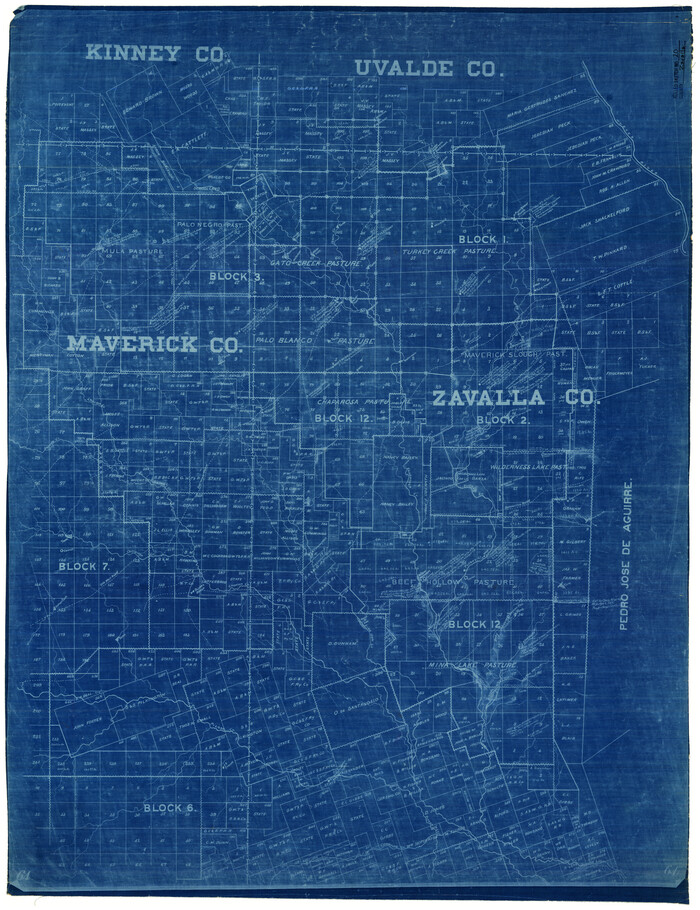
Zavala County Rolled Sketch 20

Val Verde County Working Sketch 88
1973
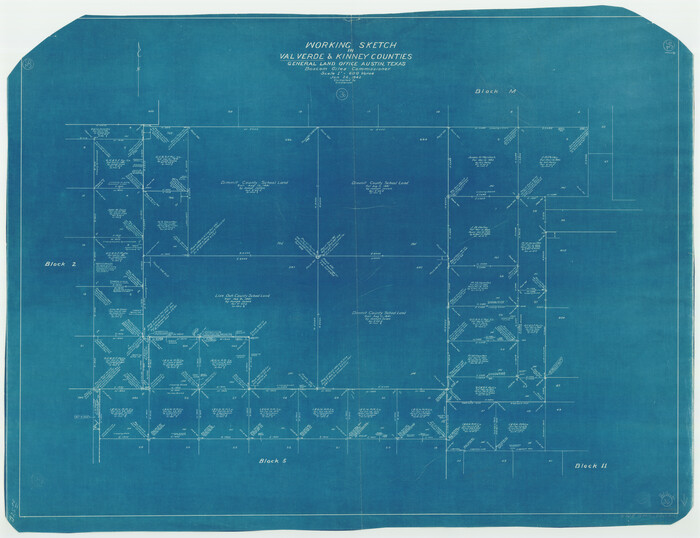
Val Verde County Working Sketch 36
1942
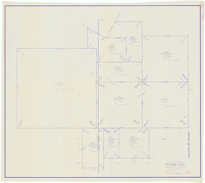
Uvalde County Working Sketch 57
1985
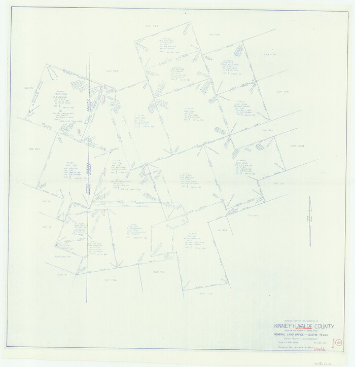
Uvalde County Working Sketch 55
1983

Uvalde County Working Sketch 43
1978

Uvalde County Working Sketch 20
1950
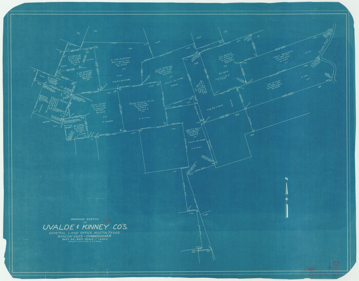
Uvalde County Working Sketch 10
1943

Uvalde County Sketch File 28
1980

Uvalde County Sketch File 26-1
1930

Uvalde County Sketch File 12A
1887
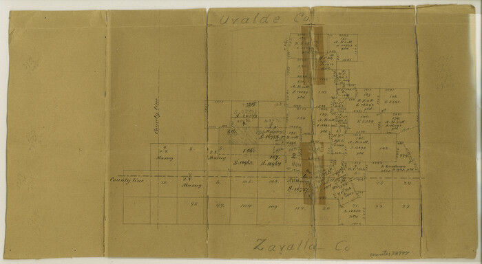
Uvalde County Sketch File 12
1887
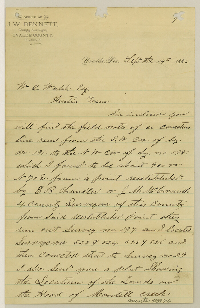
Uvalde County Sketch File 11
1886

Uvalde County Sketch File 10
1886
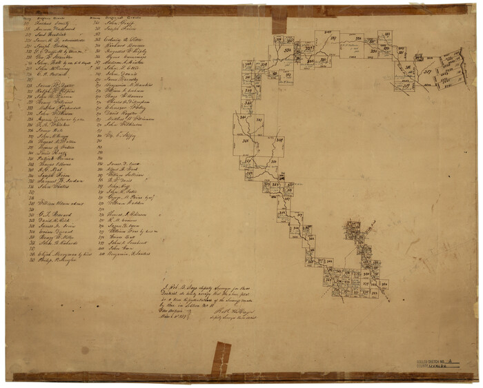
Uvalde County Rolled Sketch A
1849

Uvalde County Rolled Sketch 18
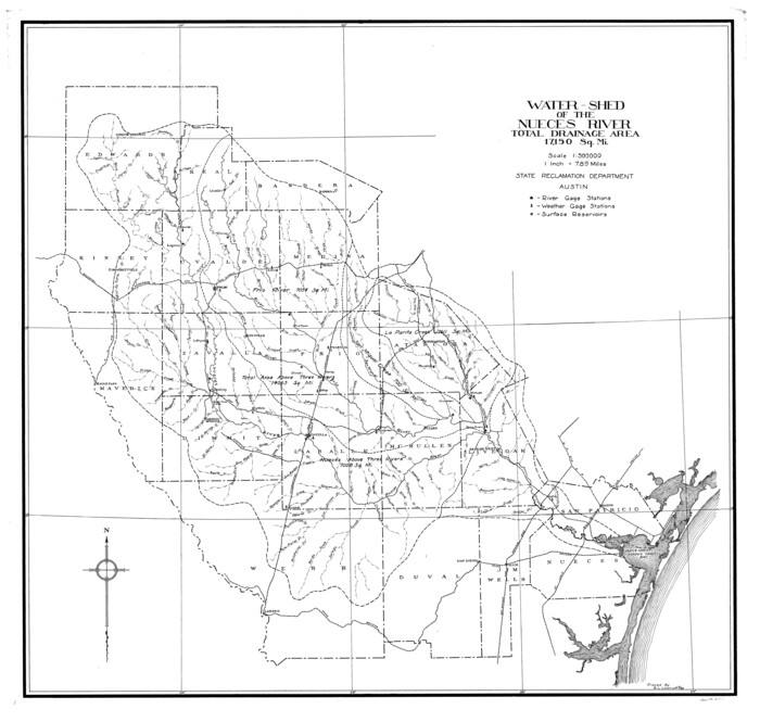
Nueces River, Water Shed [of the Nueces River]
1925

Menard County Sketch File 3
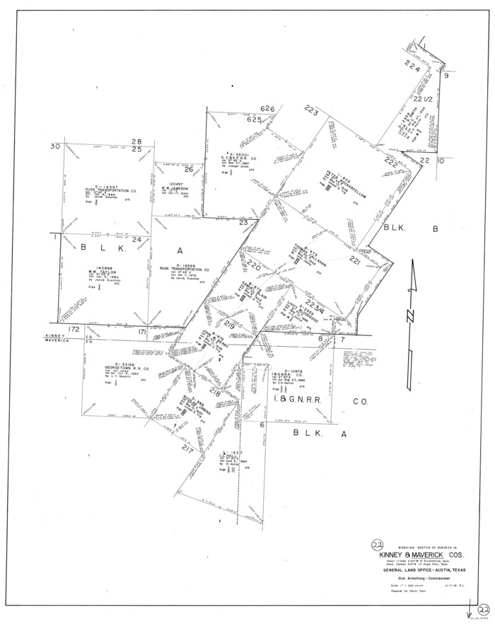
Maverick County Working Sketch 22
1978
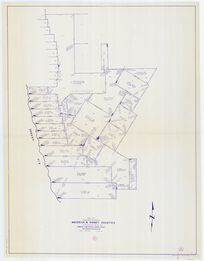
Maverick County Working Sketch 19
1975

Maverick County Working Sketch 18
1975

Maverick County Sketch File 7
1878
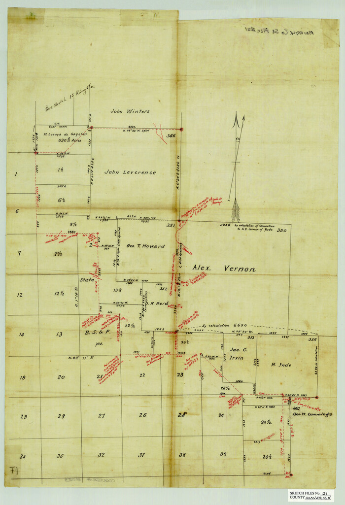
Maverick County Sketch File 21

Map of the Western Part of Bexar District
1849
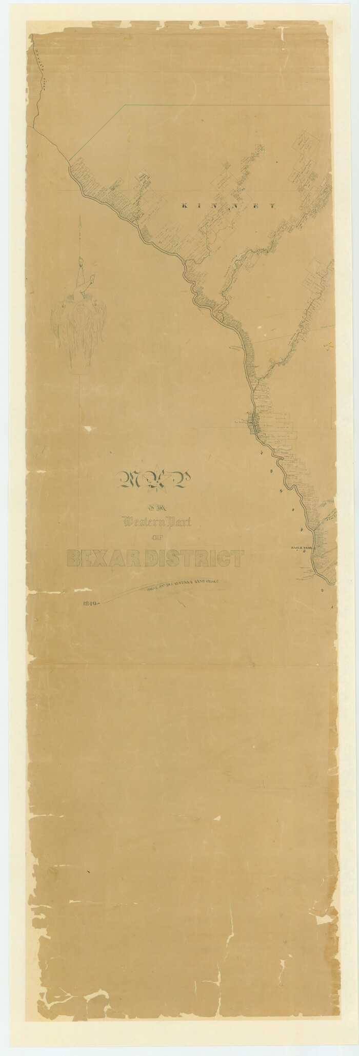
Map of the Western Part of Bexar District
1849
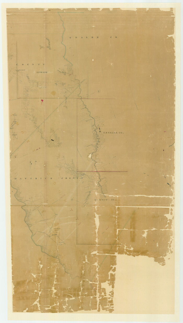
Map of the Western Part of Bexar District
1849

Map of Kinney County, Texas
1879
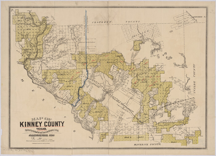
Map of Kinney County, Texas
1884

Map of Kinney County
1889
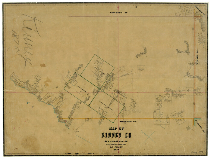
Map of Kinney County
1875

Zavala County Rolled Sketch 20
-
Size
33.9 x 26.3 inches
-
Map/Doc
8323

Val Verde County Working Sketch 88
1973
-
Size
29.0 x 36.9 inches
-
Map/Doc
72223
-
Creation Date
1973

Val Verde County Working Sketch 36
1942
-
Size
34.5 x 44.9 inches
-
Map/Doc
72171
-
Creation Date
1942

Uvalde County Working Sketch 57
1985
-
Size
38.4 x 43.0 inches
-
Map/Doc
72127
-
Creation Date
1985

Uvalde County Working Sketch 55
1983
-
Size
38.9 x 37.6 inches
-
Map/Doc
72125
-
Creation Date
1983

Uvalde County Working Sketch 43
1978
-
Size
29.3 x 27.7 inches
-
Map/Doc
72113
-
Creation Date
1978

Uvalde County Working Sketch 20
1950
-
Size
41.5 x 32.4 inches
-
Map/Doc
72090
-
Creation Date
1950

Uvalde County Working Sketch 10
1943
-
Size
30.3 x 38.7 inches
-
Map/Doc
72080
-
Creation Date
1943

Uvalde County Sketch File 28
1980
-
Size
14.8 x 8.9 inches
-
Map/Doc
39023
-
Creation Date
1980

Uvalde County Sketch File 26-1
1930
-
Size
11.5 x 8.9 inches
-
Map/Doc
39013
-
Creation Date
1930

Uvalde County Sketch File 12A
1887
-
Size
19.2 x 30.0 inches
-
Map/Doc
12527
-
Creation Date
1887

Uvalde County Sketch File 12
1887
-
Size
9.3 x 17.0 inches
-
Map/Doc
38977
-
Creation Date
1887

Uvalde County Sketch File 11
1886
-
Size
12.1 x 13.1 inches
-
Map/Doc
38972
-
Creation Date
1886

Uvalde County Sketch File 10
1886
-
Size
9.2 x 6.1 inches
-
Map/Doc
38969
-
Creation Date
1886

Uvalde County Rolled Sketch A
1849
-
Size
21.7 x 25.8 inches
-
Map/Doc
8104
-
Creation Date
1849

Uvalde County Rolled Sketch 18
-
Size
33.2 x 24.8 inches
-
Map/Doc
8102
![65101, Nueces River, Water Shed [of the Nueces River], General Map Collection](https://historictexasmaps.com/wmedia_w700/maps/65101.tif.jpg)
Nueces River, Water Shed [of the Nueces River]
1925
-
Size
33.6 x 35.4 inches
-
Map/Doc
65101
-
Creation Date
1925

Menard County Sketch File 3
-
Size
16.3 x 12.9 inches
-
Map/Doc
31488

Maverick County Working Sketch 22
1978
-
Size
44.0 x 34.9 inches
-
Map/Doc
70914
-
Creation Date
1978

Maverick County Working Sketch 19
1975
-
Size
56.2 x 44.0 inches
-
Map/Doc
70911
-
Creation Date
1975

Maverick County Working Sketch 18
1975
-
Size
44.4 x 35.3 inches
-
Map/Doc
70910
-
Creation Date
1975

Maverick County Sketch File 7
1878
-
Size
16.6 x 3.9 inches
-
Map/Doc
31057
-
Creation Date
1878

Maverick County Sketch File 21
-
Size
12.6 x 8.1 inches
-
Map/Doc
31130

Map of the Western Part of Bexar District
1849
-
Size
64.0 x 54.3 inches
-
Map/Doc
16944
-
Creation Date
1849

Map of the Western Part of Bexar District
1849
-
Size
63.5 x 21.6 inches
-
Map/Doc
87375
-
Creation Date
1849

Map of the Western Part of Bexar District
1849
-
Size
63.7 x 36.2 inches
-
Map/Doc
87376
-
Creation Date
1849

Map of Kinney County, Texas
1879
-
Size
21.2 x 33.1 inches
-
Map/Doc
548
-
Creation Date
1879

Map of Kinney County, Texas
1884
-
Size
25.4 x 35.2 inches
-
Map/Doc
88966
-
Creation Date
1884

Map of Kinney County
1889
-
Size
50.1 x 41.1 inches
-
Map/Doc
16869
-
Creation Date
1889

Map of Kinney County
1875
-
Size
25.9 x 34.2 inches
-
Map/Doc
3773
-
Creation Date
1875